Red trail in Karshult Nature reserve
Walking
- County: Östergötlands län
- 6732.02 km away from you
Trail details
- Length 1.5 km
- Difficulty Blue - medium
Actions
Description
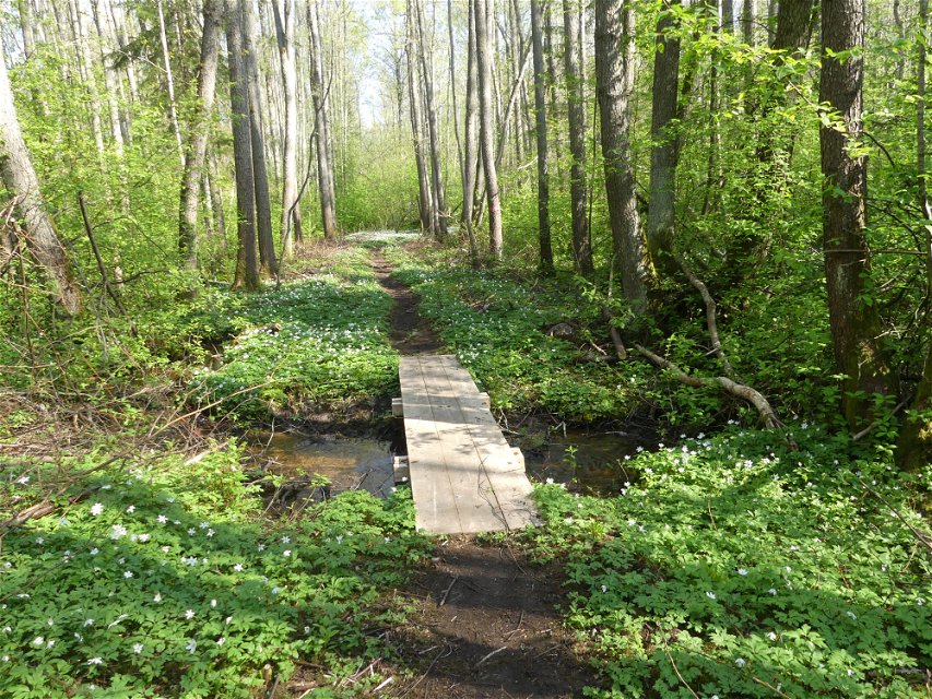
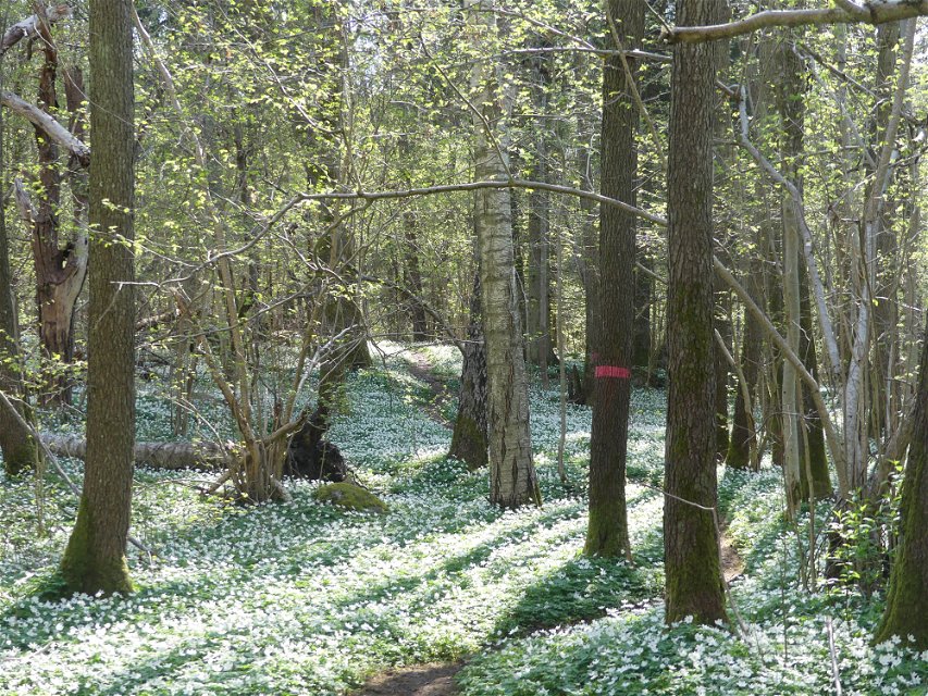
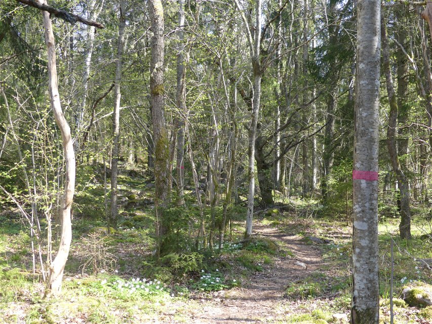
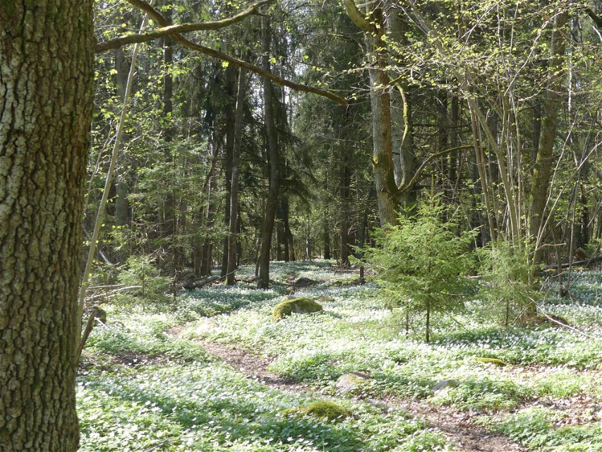
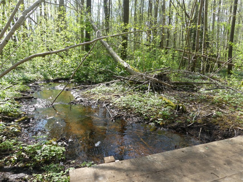
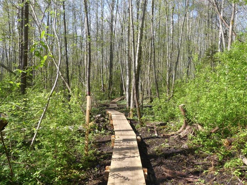
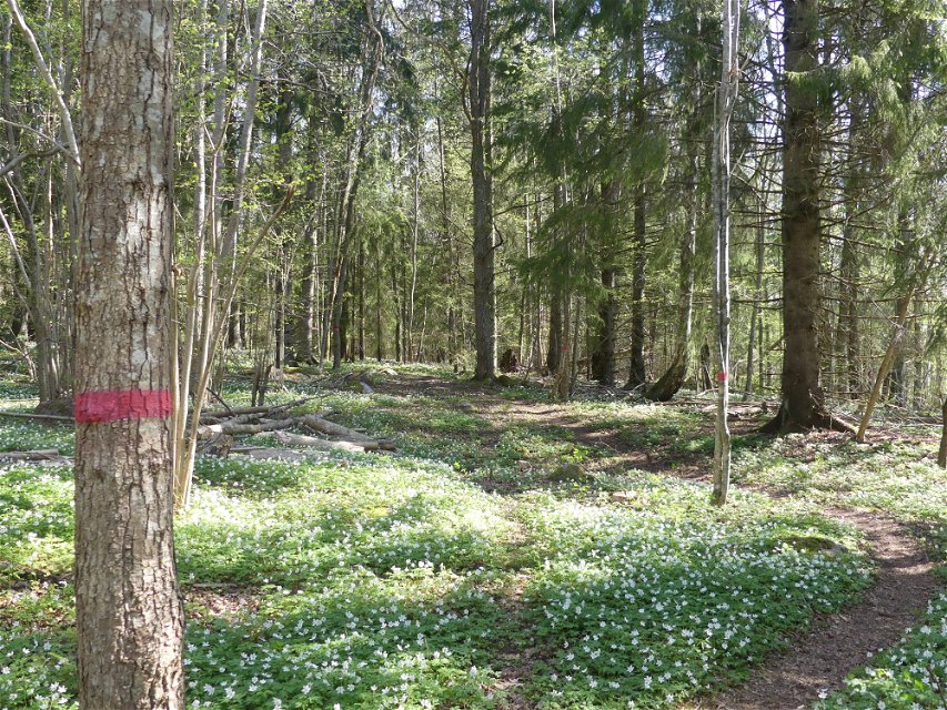
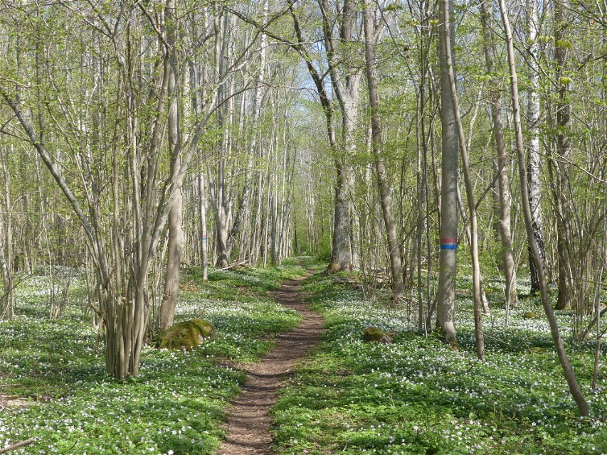
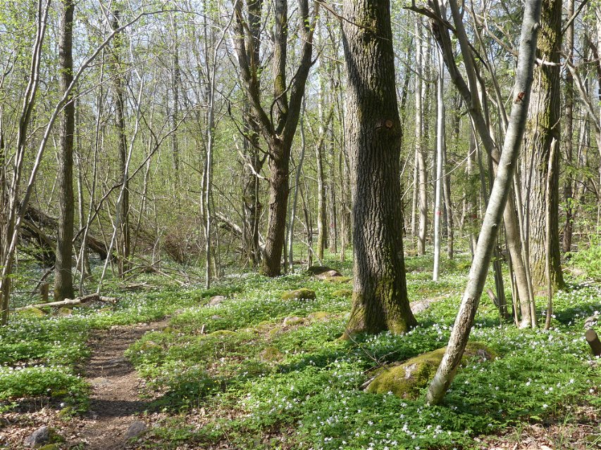
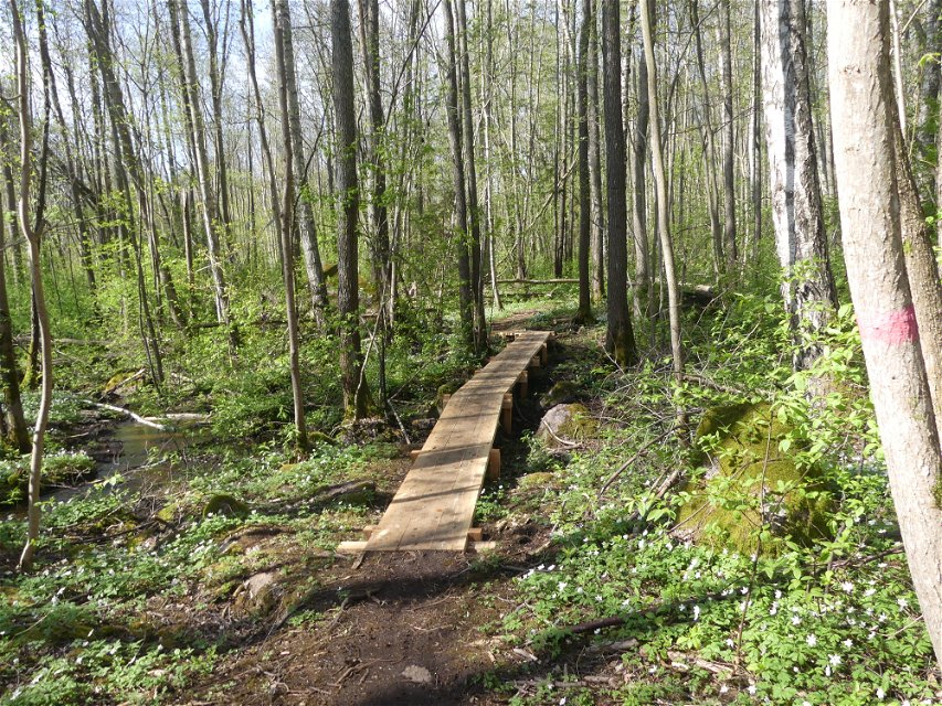
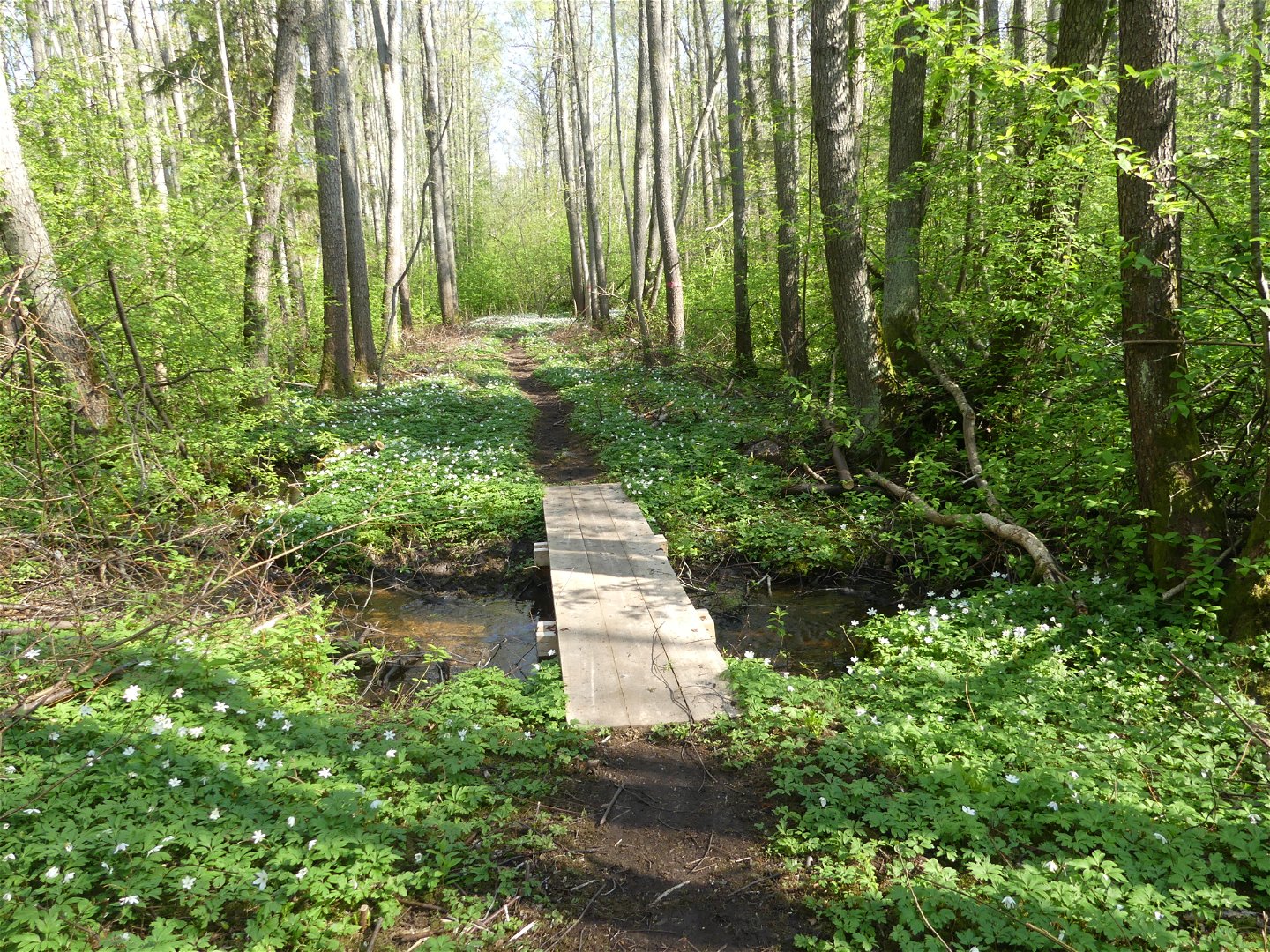
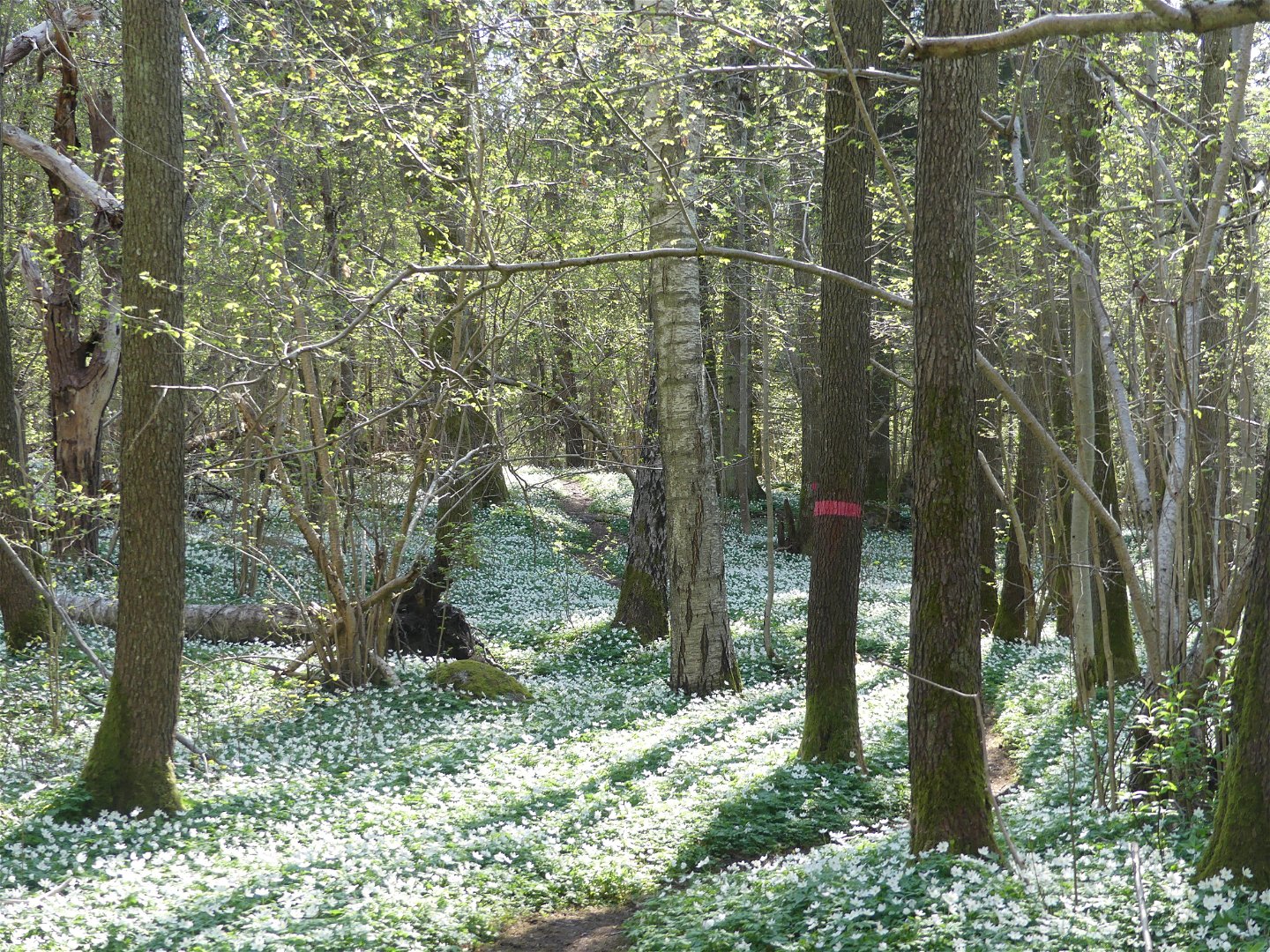
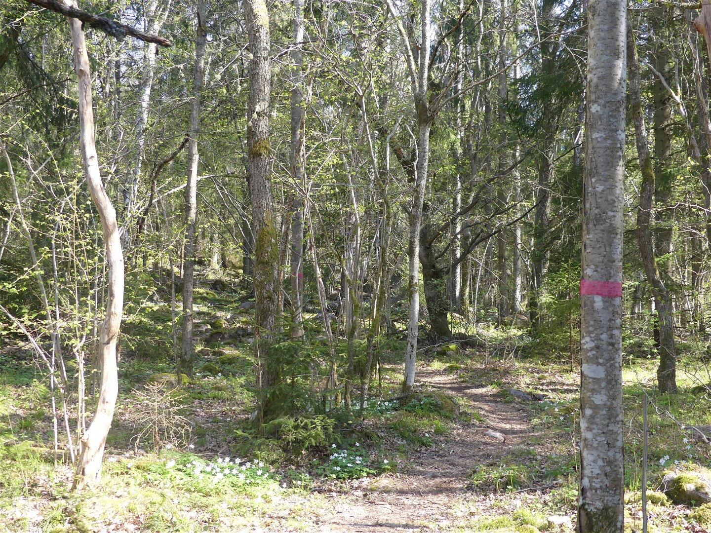
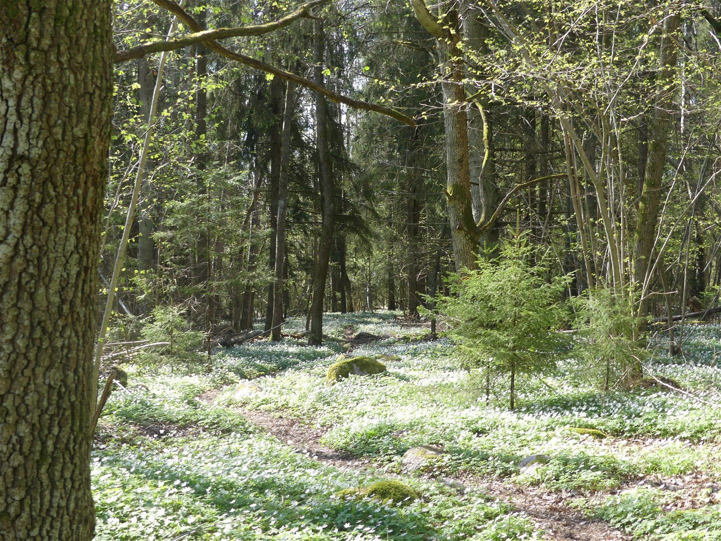
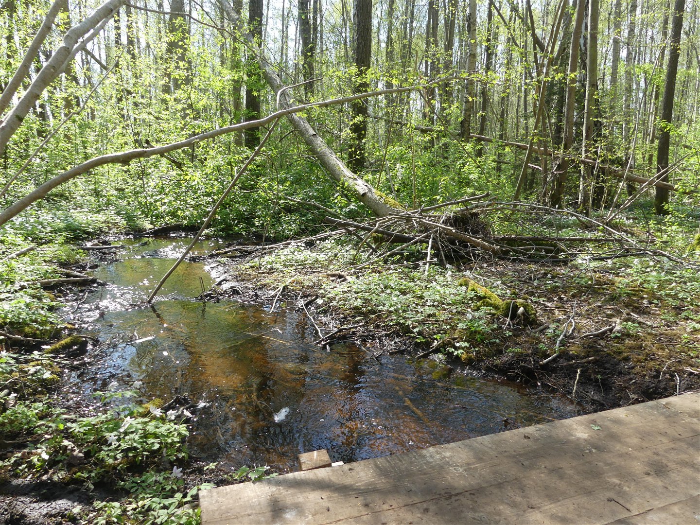
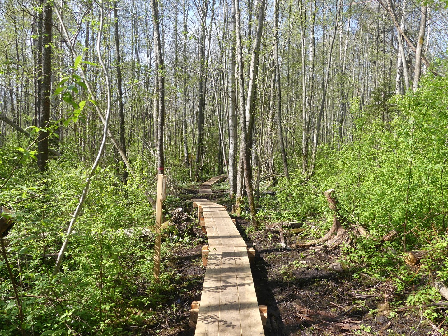
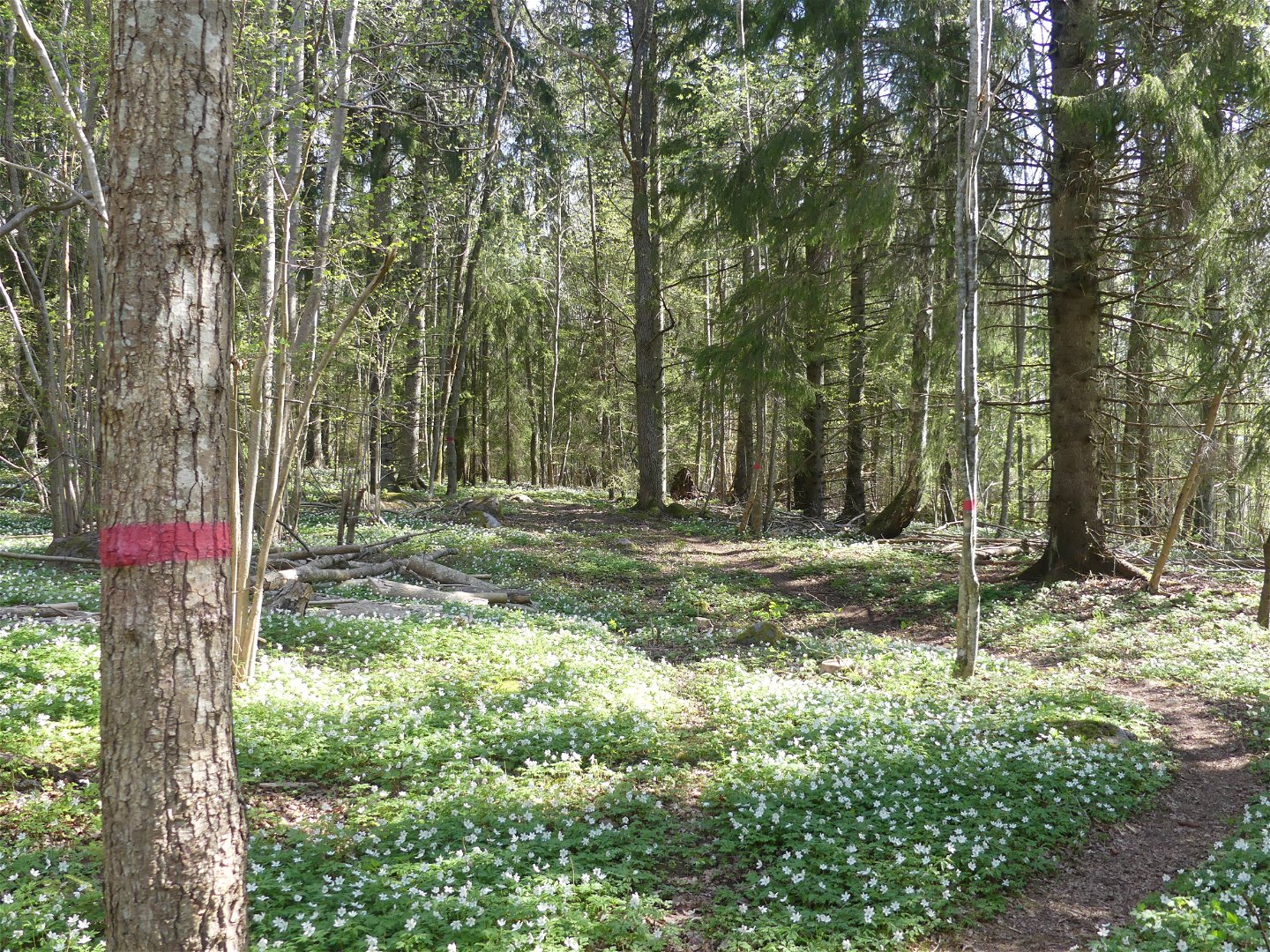
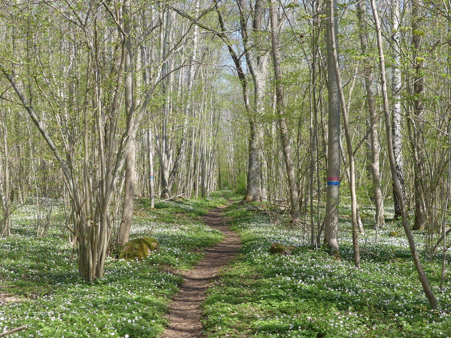
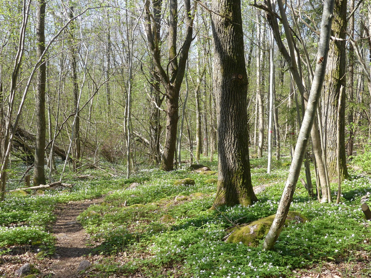
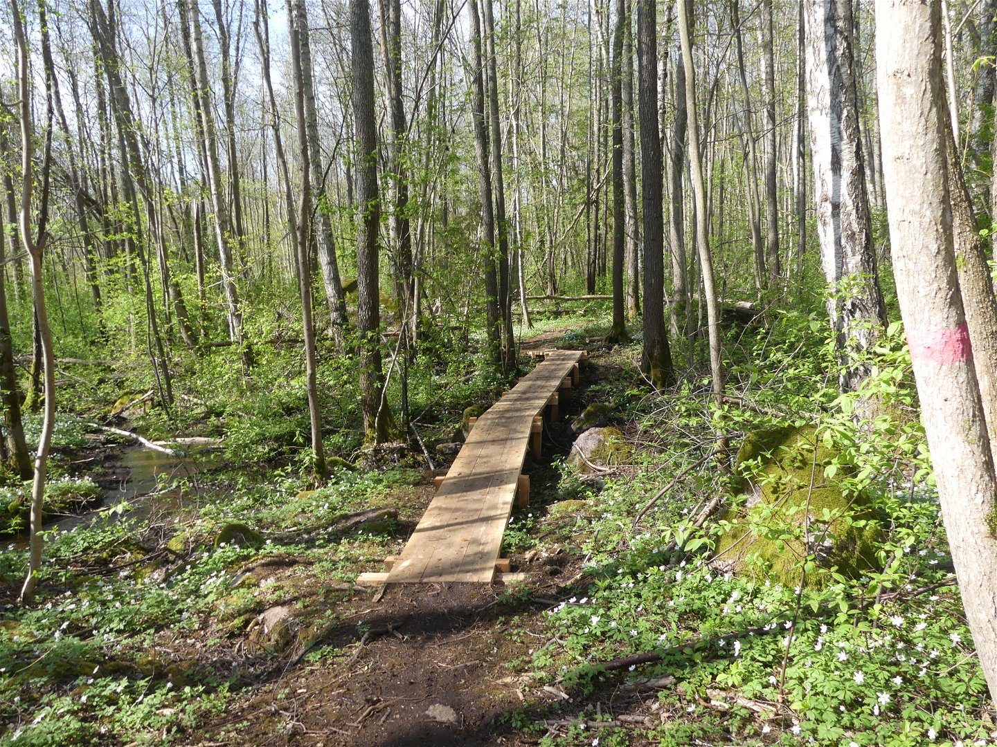
A longer forest walk that shows all of Karshult's glory. The walk goes through everything from, lush deciduous forests with old spruces and deciduous trees to dense deciduous stands and beautiful hazel groves. The trail is partly a bit stony and crosses rippling streams where we built wooden bridges over. Park in the western parking lot and walk via the blue trail to get here. Alternatively, you can walk the road down through the cottage area where there is a connecting path up to the red trail.
The nature reserve is managed by Motala municipality. We ask you to avoid cycling on the reserve trails. In many places there is sensitive land in the reserve. The paths also become very easily muddy and wet.
Activities And Facilities
-
Hiking
-
Trail running
-
Walking
-
Circular trail
Accessibility
-
Near parking
-
Near Public Transport
Contact
Address
Kontakta mig om du har frågor om Motalas Naturkarta.
Email address
Hilda-Linn Berglund
Organization logotype

Questions & Answers
Ask a question to other Naturkartan users.

