Tyleklint, Skönnarboleden
Viewpoint
- County: Östergötlands län
- 6734.35 km away from you
Actions
Description
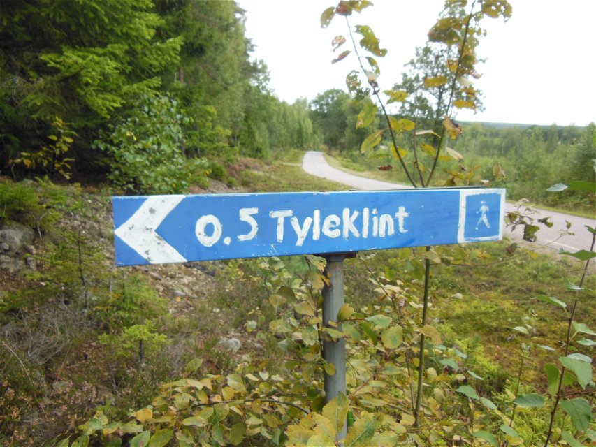
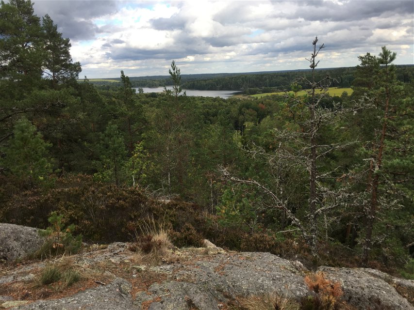
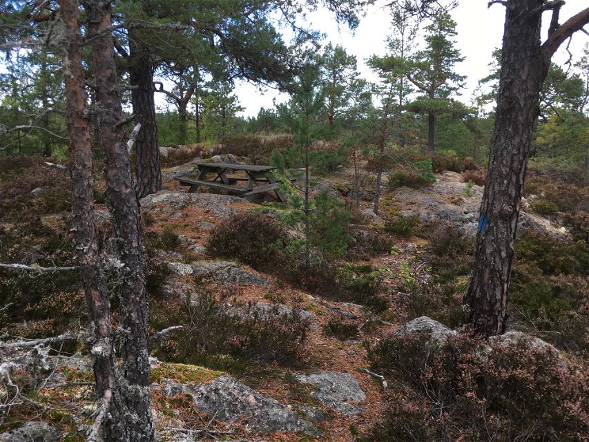
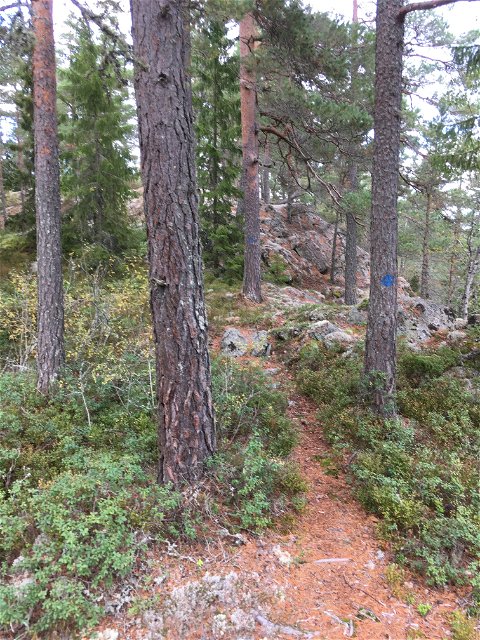
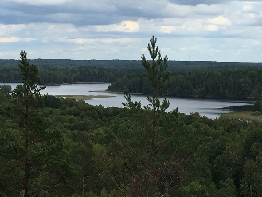
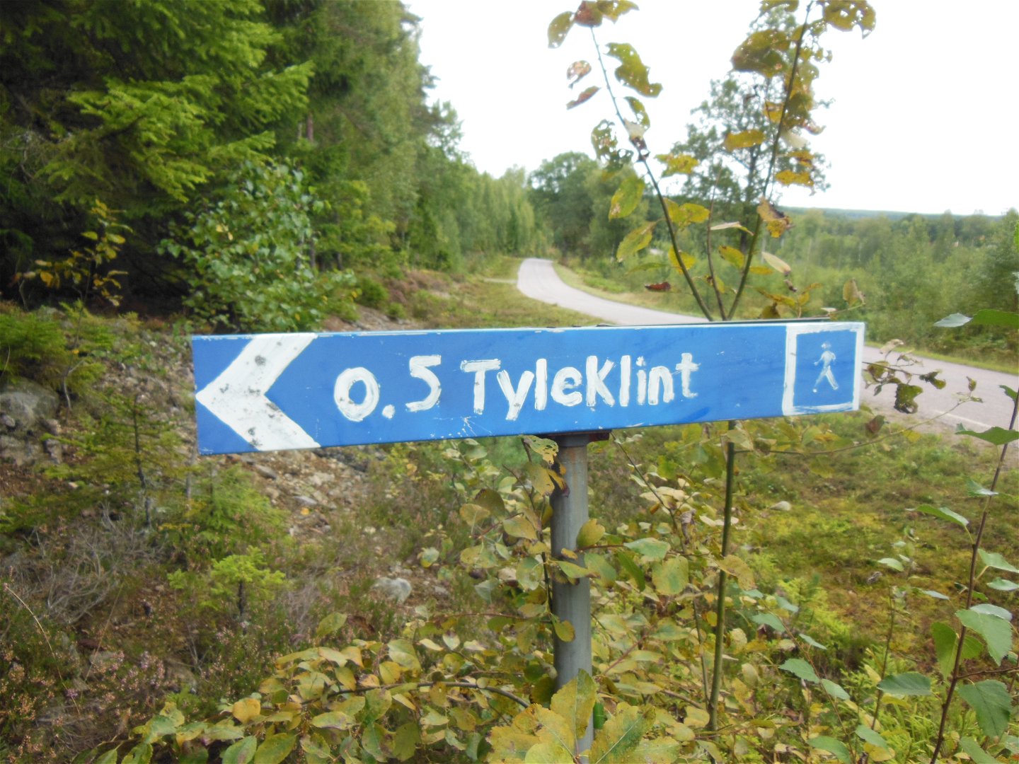
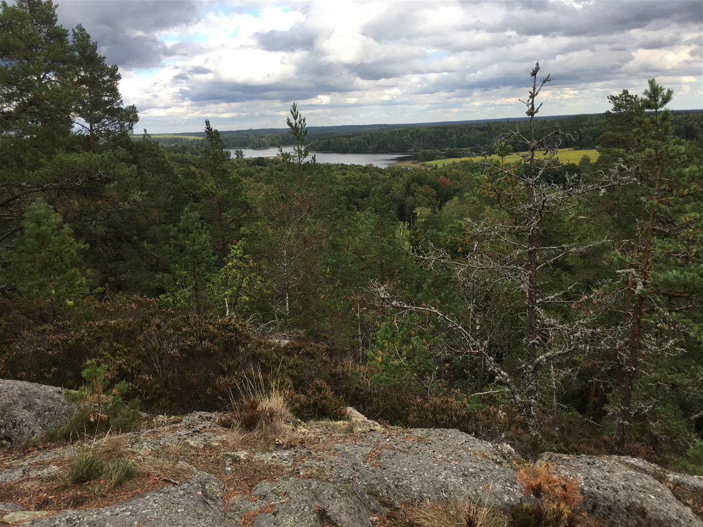
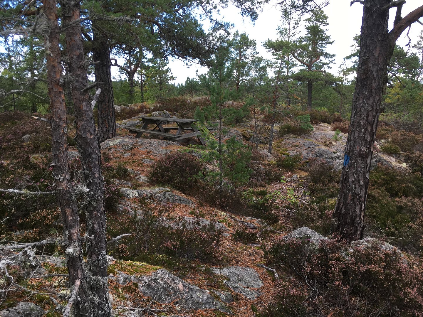
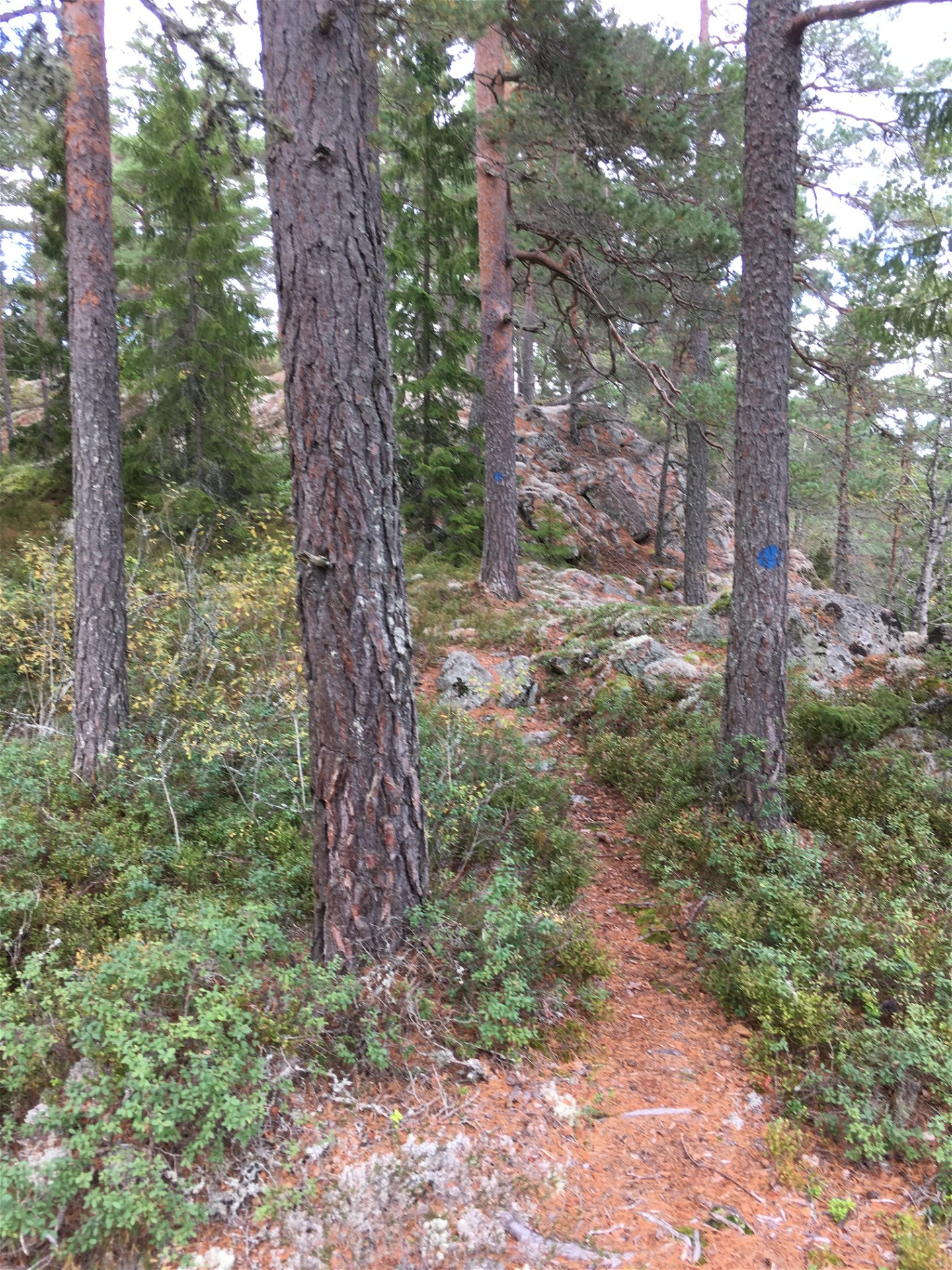
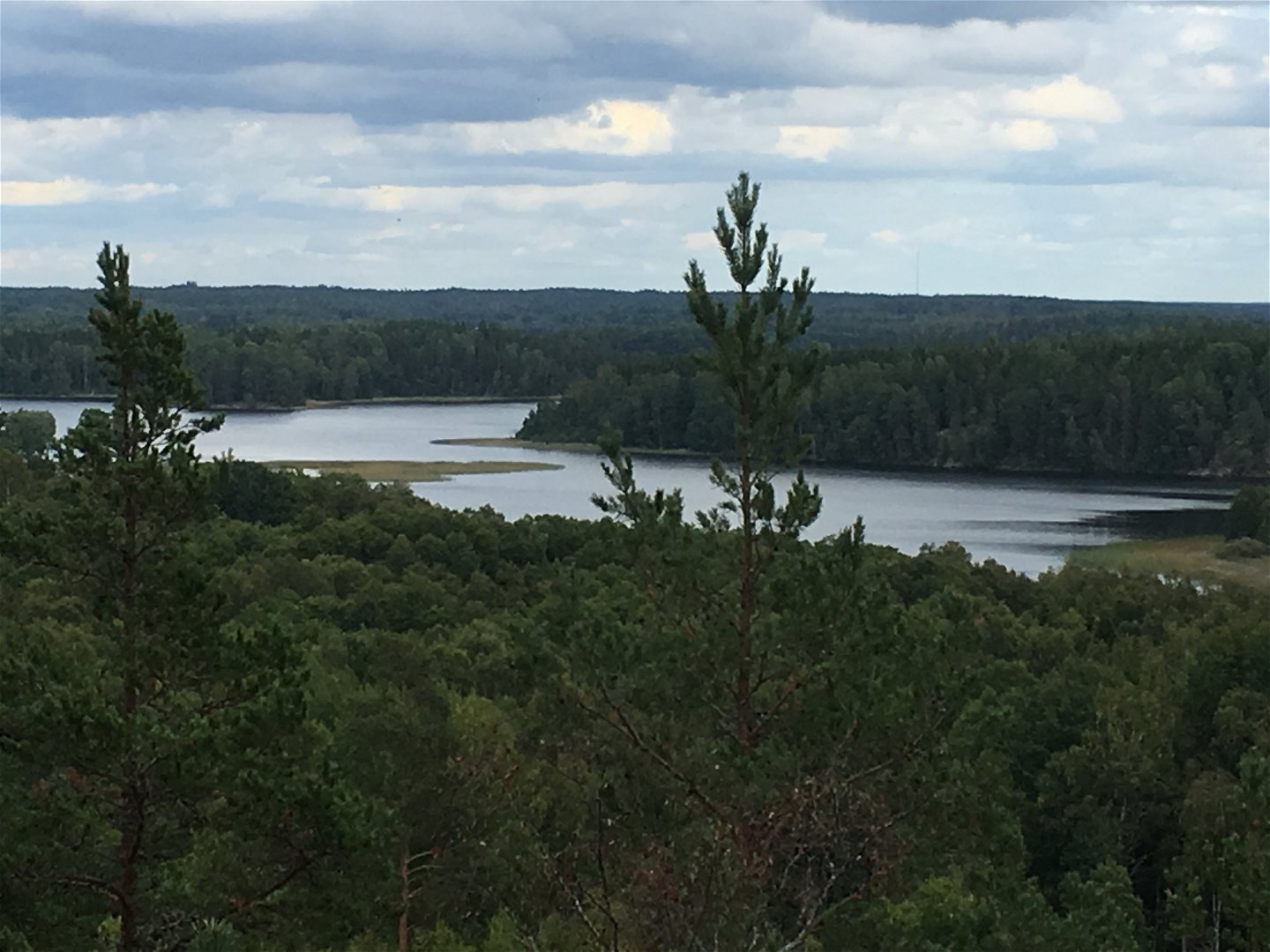
Tyleklint is a hill along Skönnarboleden. The hill is 500 meters from the road towards Mariedamm. A sign shows the way. At the height, pine forest and spruce forest grow and you have a nice view over the landscape.
Activities And Facilities
-
Quiet places
-
Rest area
-
Viewpoint
Contact
Address
Kontakta mig om du har frågor om Motalas Naturkarta.
Email address
Hilda-Linn Berglund
Organization logotype

Questions & Answers
Ask a question to other Naturkartan users.

