 Roslagsleden
Naturkartan guide
Roslagsleden - 190 km hiking trail in the footsteps of the Vikings through Roslagen north of Stockholm


Map

About Roslagsleden
Roslagsleden is a 190 km long hiking trail through Roslagen north of Stockholm. The trail starts in the south from Danderyd at the Rinkebyskogen nature reserve and ends in the north in Grisslehamn on Väddö island. Roslagsleden is divided into 11 stages that are 9-25 km long.
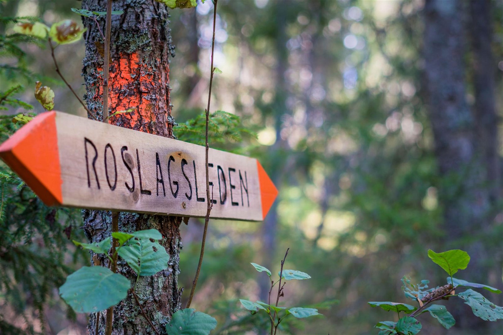
The trail is marked with orange on trees and poles. At crossroads and path forks there are signposts showing the direction. At the start and end of each stage there is an information board. Most stages have rest areas with shelters, fireplaces and toilets.
Each stage of the trail is managed by the municipality that the route passes through.
Contacts

roslagsleden.se
The trail is managed and maintained by a collaboration of Danderyd municipality, Sollentuna municipality, Täby municipality, Vallentuna municipality, Österåker municipality and Norrtälje municipality.
