Miniguides


About Smålandsleden (Småland Trail)
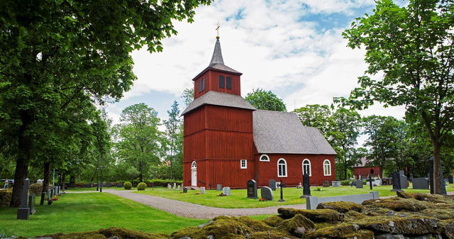
Amidst moose, lingonberries, and small red cottages, the Smålandsleden is a nervous system and cluster of several smaller trails.
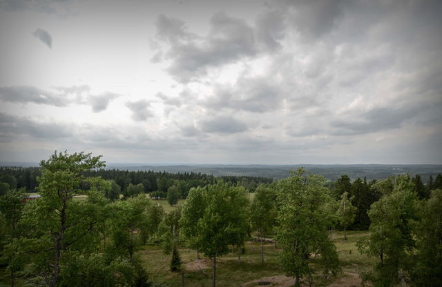
The Smålandsleden is a perfect representation of Småland's nature. It offers most of what one associates with Småland. Experience deep forests, calming silence, and mirror-like lakes. Hidden forest paths, winding gravel roads, or paved bike paths – it doesn’t matter, the Smålandsleden has something for all types of hikers. You can choose the difficulty level and the type of hike that suits you best.
The Smålandsleden is a nervous system and cluster of several smaller trails that together offer 900 kilometers of hiking along 12 different sub-trails and 56 stages with varying characteristics. You can start your hike at 60 different locations around Småland. On the map, you’ll find all the trail entrances, some of which are easy to reach by public transport.
There are also pictures showing the character of the sections, as well as information on starting points, rest areas, wind shelters, and accommodations.
The Smålandsleden is a merger of the popular hiking trails:
- Västra Vätterleden (Stage 8)
- Södra Vätterleden
- John Bauerleden
- Holavedsleden
- Anebyleden
- Höglandsleden
- Järnbärarleden
- Kävsjölänken
- Kärdaleden
- Värnamoleden
- Lagadalsleden (Stage L1)
- Gislavedsleden
Length: Approximately 900 km (excluding detours)
Starting points: Approximately 60 (train, bus, parking)


