Hiking trail loop, Storängsudd
Hiking
- County: Stockholms län
- 6852.21 km away from you
Trail details
- Length 1.6 km
Actions
Description
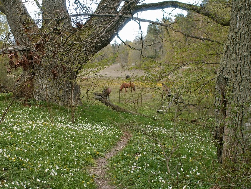
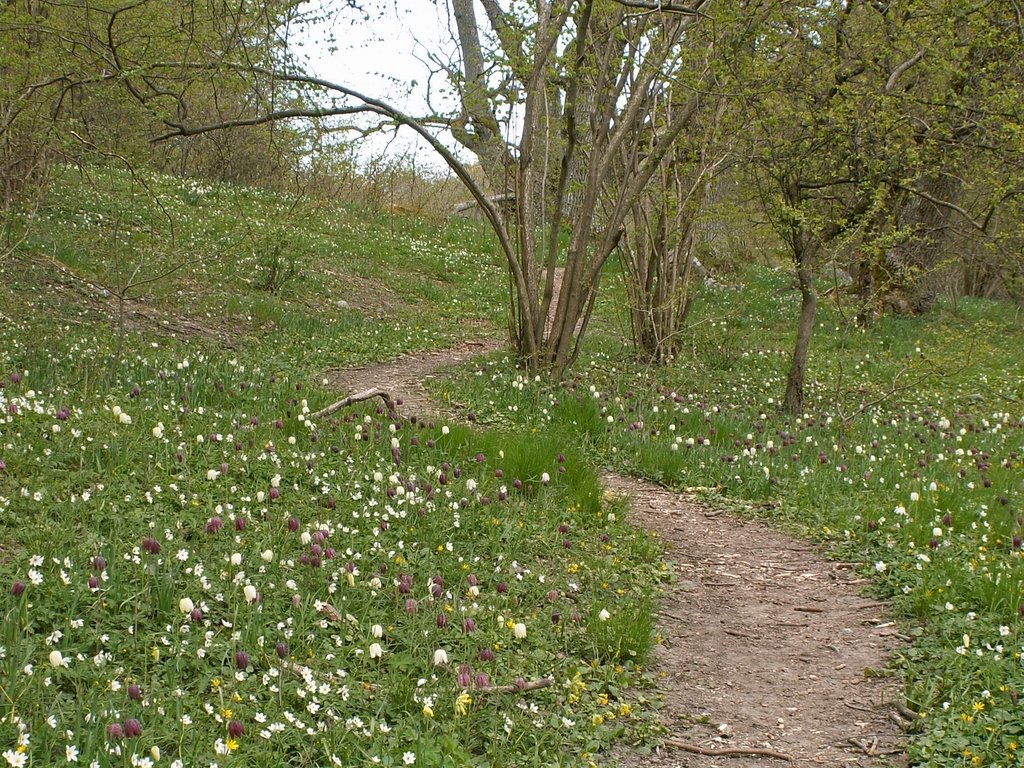
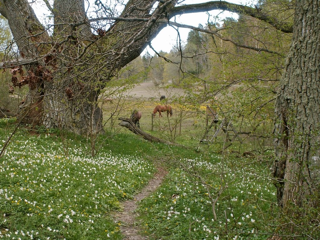
This 1 km trail leads you around the entire reserve. Walk among old oak and hazel trees and through pastures grazed by cattle and sheep. The trail is worn but hilly, with a nice view of the bay, Baggensfjärden.
Activities And Facilities
-
Hiking
Facts
Protected since 1936
Size: 11 hectares
Character: Deciduous forest, meadows and pastures, cultural environment, archipelago
Municipality: Värmdö
Landowner: private
Administrator: County Administrative Board
Form of protection: nature reserve
**Other : Natura 2000 area Storängsudd SE0110351
Directions
By public transit: Take a bus from Slussen to the Beatelundsvägen bus stop. From there, it's a 3 km walk to the reserve. For current information on public transit, see: sl.se
By car: Turn onto Värmdöleden road towards Ingarö. After 2km, take a right at the sign "Naturreservat" onto a smaller road.
Regulations
In order to protect the Storängsudd nature reserve, please respect the following rules.
Within the reserve, it is forbidden to:
- destroy or damage rock, soil or stone by drilling, cutting, blasting, carving, digging, painting or similar,
- break branches, fell or in any other way damage living or dead trees and bushes or damage the vegetation in general by digging up plants, such as shrubs, herbaceous plants, mosses or lichens or by removing fungi growing on wood,
- disturb wildlife (e.g. by climbing nesting trees, trapping or killing mammals, birds, reptiles and amphibians),
- trap and collect invertebrates,
- bring dogs that are not on a leash,
- camp,
- make a fire,
- put up a message board, placard, poster, sign or make inscriptions,
- operate motorised vehicles or ride bicycles,
- park outside of designated parking areas or park a motorhome or caravan,
- anchor a boat for more than two consecutive nights in the reserve.
Contact
Email address
Länsstyrelsen i Stockholm
Organization logotype

Please be aware that some of these texts have been automatically translated.
Questions & Answers
Ask a question to other Naturkartan users.


