-

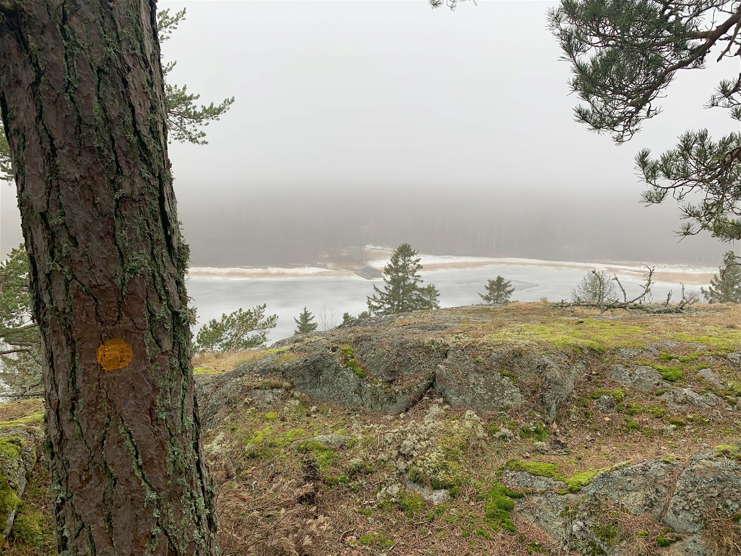
Utsikt från Höggarnsberget mot Koön.
Photo: Länsstyrelsen Stockholm -

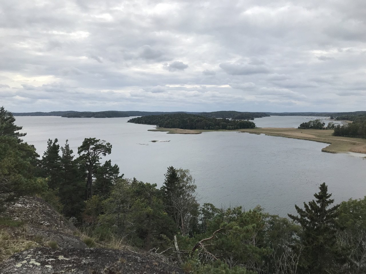
Utsikt över Svärdsnäsviken och Koön. Längst i fjärran, Gålö.
Photo: Länsstyrelsen Stockholm -

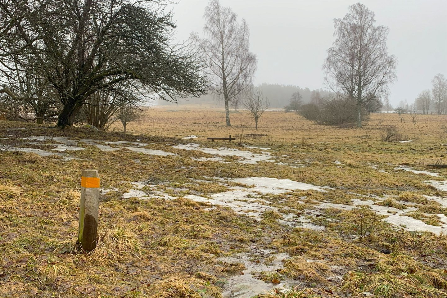
Leden börjar och slutar i kulturlandskapet vid strandängarna.
Photo: Länsstyrelsen Stockholm

Vandringsstig Höggarnsberget, Sandemar
Hiking
- County: Stockholms län
- 6862.15 km away from you
Trail details
- Length 1.4 km
Actions
Description
A trail for adventure and variety! The trail begins and ends at the bottom of the meadows, where you can enjoy the birdlife and see signs of grazing and old farming. Soon enough, the trail climbs upwards, with a real wilderness feel, following the steep edge of the mountain to the north. The view of the western parts of the reserve (Koön) and Svärdsnäsviken all the way to Gålö is breathtaking. You pass a lookout point and an ancient site with both old stone circles and more recent foundations for a defense. Keep an eye out for traces of wild boar, moose and badgers.
The path is very hilly and not adapted for accessibility.
Activities And Facilities
-
Hiking
-
 Circular trail
Directions
From the main entrance of the reserve, follow the trail to the coastal meadows. From the accessible picnic area, turn north on the orange trail to walk the trail counterclockwise. Alternatively, continue past the picnic area, along the hill with the oaks until you see a sturdy wooden bench on your right. Take the branch of the trail that goes up behind the bench.
Downloads
Contact
Email address
Länsstyrelsen i Stockholm
Organization logotype
![]()
Please be aware that some of these texts have been automatically translated.
Questions & Answers
Ask a question to other Naturkartan users.
