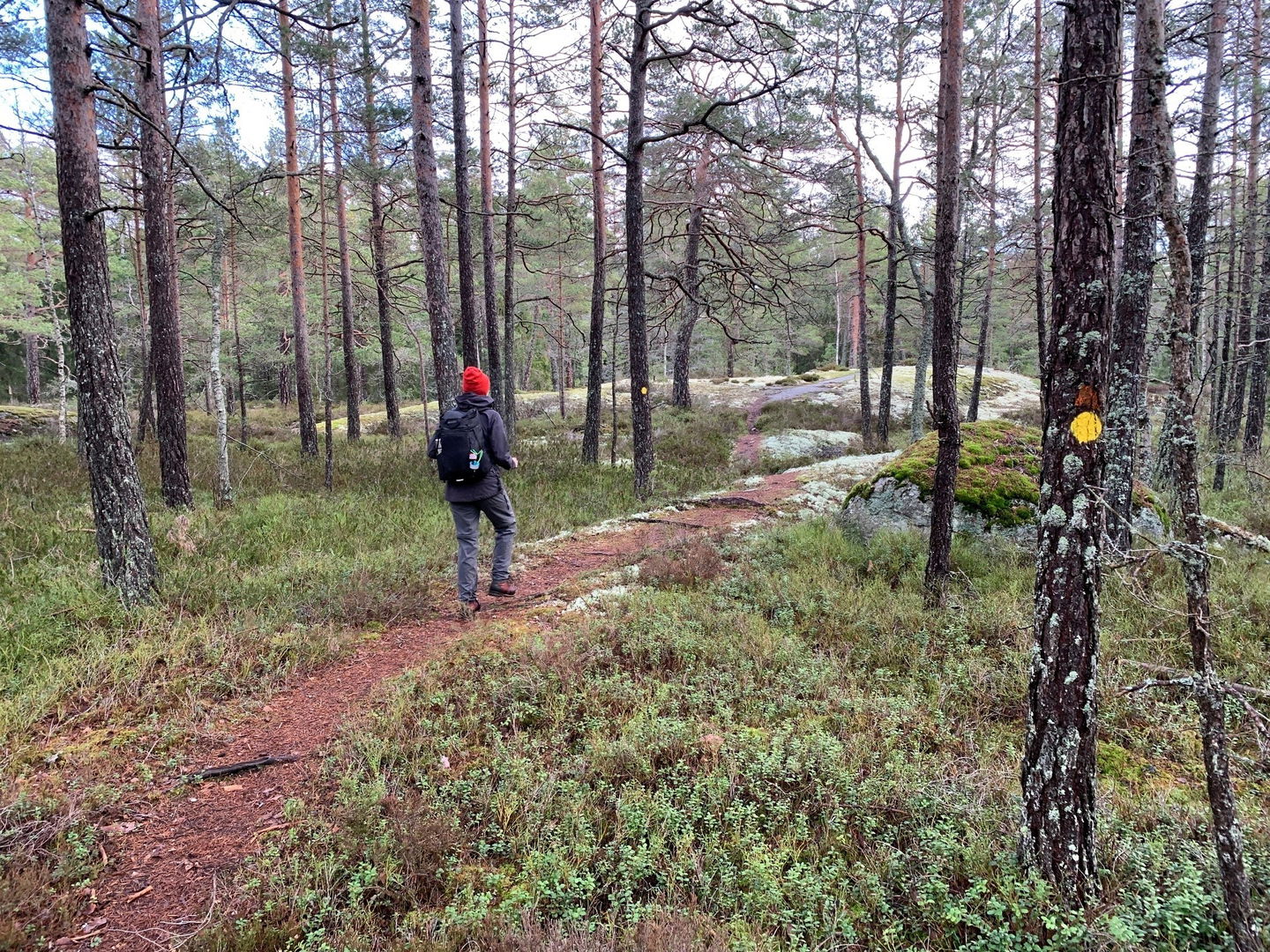
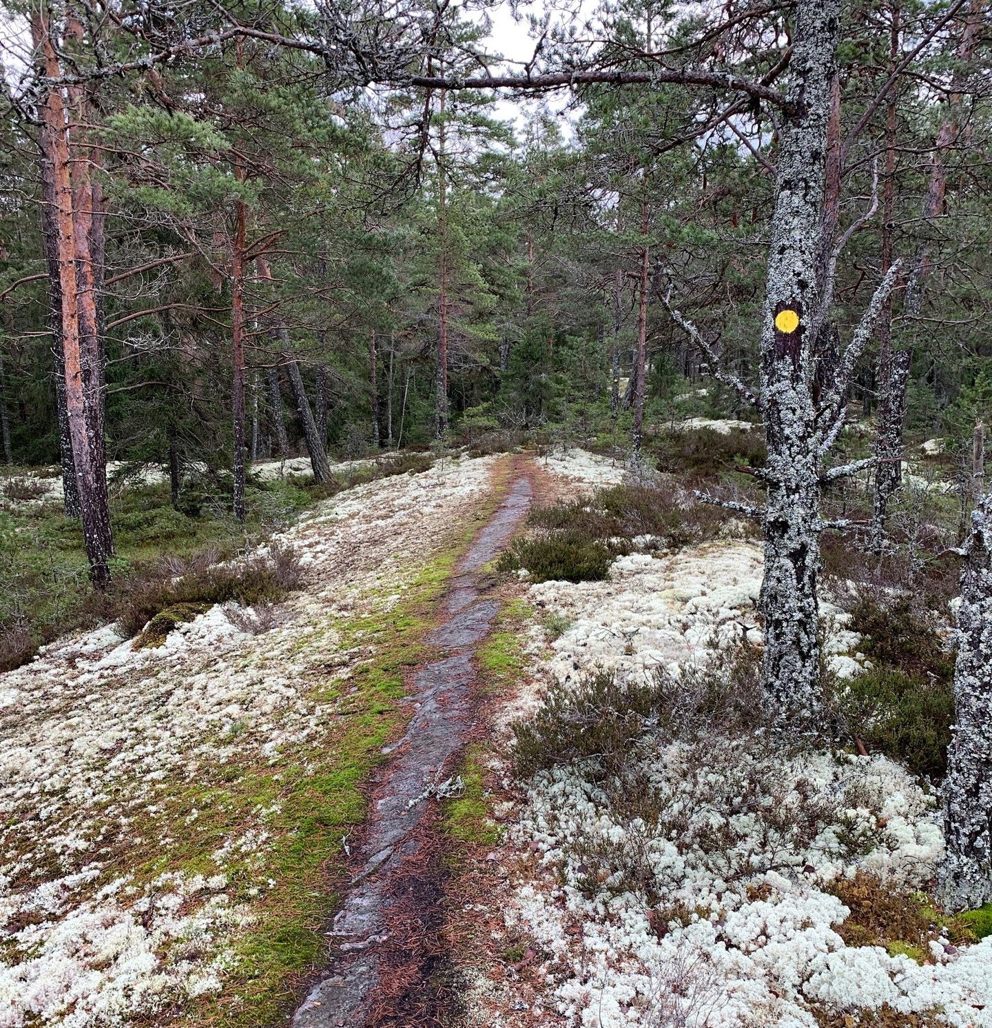
The northern trail, Långviksträsk
Hiking
- County: Stockholms län
- 6861.88 km away from you
Trail details
- Length 1.4 km
Actions
Description
This hiking trail takes you from the fire pit at the northeastern shore of the Långviksträsk lake to the reserve's northern border, where it joins a gravel road (closed to traffic).
From this trail, you can make a detour to another fire pit, located just north of Lake Långviksträsk.
Activities And Facilities
-
Hiking
Facts
Skyddat sedan: 2009
Storlek: 313 hektar varav land 307 hektar.
Karaktär: barrskog, sjö och våtmark
Kommun: Värmdö
Markägare: privat, staten
Förvaltare: Länsstyrelsen
Skyddsform: naturreservat
Övrigt: Natura 2000-område Långviksträsk SE0110168
Directions
By public transit: Take a bus from the Slussen bus terminal. There are multiple bus stops around the nature reserve. The hiking trails are easiest to reach from the Vishamn and Fåruddsvägen bus stops. The bus stop Baldersnäs is on the western side of the reserve. For current information, see: SL.se
By car: Drive south along Ingarövägen road, continue onto Eknäsvägen road. Take the first exit in the roundabout towards Mörtviksvägen. Turn left at Klacknäsvägen road. After approximately 5.5 km, the reserve's small parking lot will be on the left (located in the southern part of the reserve).
Regulations
In order to protect the Långviksträsk nature reserve, please respect the following rules.
Within the reserve, it is forbidden to:
- dig, cut, blast, or in any other way damage rock, soil or stone,
- fell or damage living or dead trees or bushes or remove dead wood,
- dig up plants such as shrubs, herbs, grasses, mosses, or lichens or remove fungi growing on wood (it is permitted to pick flowers, berries and fungi),
- bring dogs that are not on a leash,
- make a fire outside of designated sites,
- camp for more than two consecutive nights,
- operate motorised vehicles off-road.
Contact
Email address
Länsstyrelsen i Stockholm
Organization logotype

Questions & Answers
Ask a question to other Naturkartan users.


