-
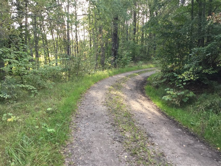
Vandra genom Vackstaskogens naturreservat
Photo: Länsstyrelsen Stockholm -

Photo: Länsstyrelsen Stockholm

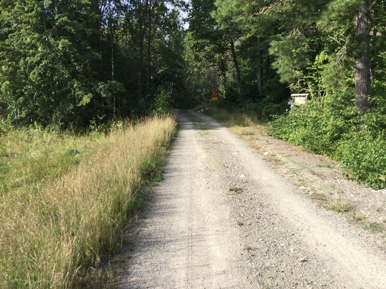

Hiking trails, Vackstaskogen
Hiking
- County: Nature reserves and National Parks in Stockholm County
- 6818.39 km away from you
Trail details
- Length 1.9 km
Actions
Description
Hiking trails and gravel roads take you through the Vackstaskogen nature reserve and out towards the picnic area by the lake. Most of the trails are unmarked.
Activities And Facilities
-
Hiking
Facts
Skyddat sedan: 2011
Storlek: 27,8 hektar varav vatten 4,7 hektar
Karaktär: lövskog, ädellövskog och sjö
Kommun: Södertälje och Nykvarn
Markägare: staten
Förvaltare: Länsstyrelsen
Skyddsform: naturreservat
Directions
** By car: ** From Södertälje centre, take Nyköpingsvägen road south towards Tveta. After Tveta, follow Route 516 about 7 km to the municipal border towards Nykvarn. Turn right just after the municipal boundary sign ("kommungräns" in Swedish). The road is blocked with stones but there is room to park one or two cars.
Regulations
In order to protect the Vackstaskogen nature reserve, please respect the following rules.
Within the reserve, it is forbidden to:
- dig, cut, blast or in any other way damage rock, soil or stone,
- break branches, fell or in any other way damage living or dead trees and bushes or dig up plants,
- camp for more than two consecutive nights,
- make a fire outside of designated sites.
Contact
Email address
Länsstyrelsen i Stockholm
Organization logotype
![]()
Questions & Answers
Ask a question to other Naturkartan users.