Vandringsstigar Vackstaskogen
Vaellusreitit
- Kunta: Stockholms län
- 6818.39 km päässä sinusta
Polun yksityiskohdat
- Pituus 1.9 km
Toiminnot
Kuvaus
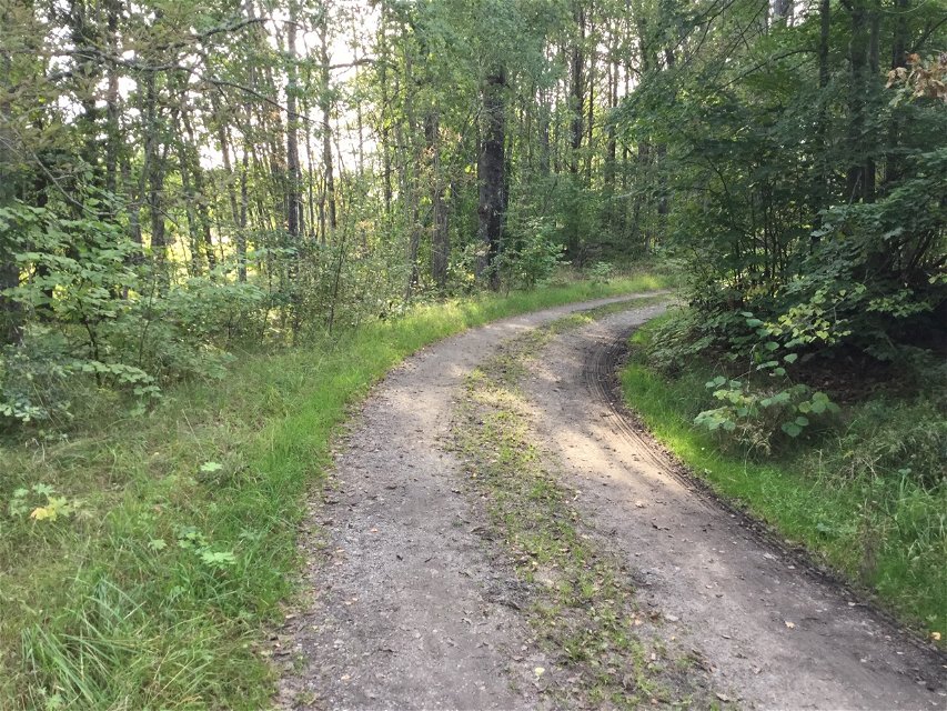
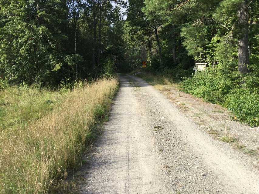
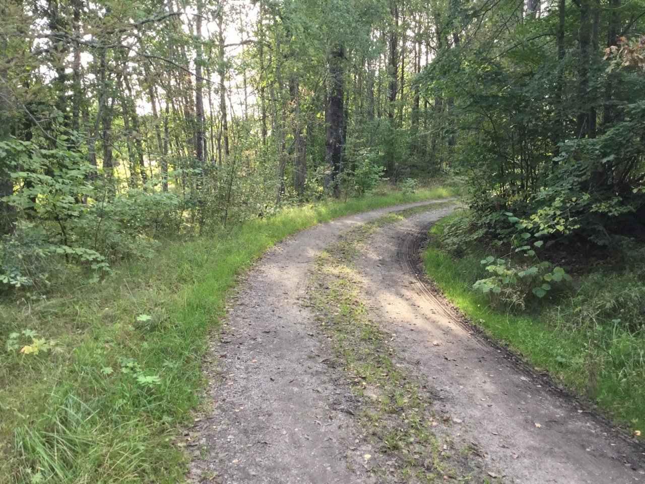
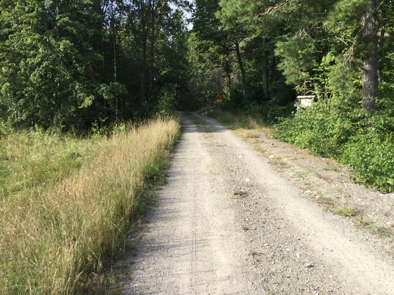
Hiking trails and gravel roads take you through the Vackstaskogen nature reserve and out towards the picnic area by the lake. Most of the trails are unmarked.
Toimintaa ja tilat
-
Vaellusreitit
Faktat
Protected since: 2011
Size: 27.8 hectares of which water 4.7 hectares
Character: deciduous forest, broadleaf forest and lake
Municipality: Södertälje and Nykvarn
Landowner: the state
Administrator: County Administrative Board
Form of protection: nature reserve
Reittiohjeet
** By car: ** From Södertälje centre, take Nyköpingsvägen road south towards Tveta. After Tveta, follow Route 516 about 7 km to the municipal border towards Nykvarn. Turn right just after the municipal boundary sign ("kommungräns" in Swedish). The road is blocked with stones but there is room to park one or two cars.
Asetukset
In order to protect the Vackstaskogen nature reserve, please respect the following rules.
Within the reserve, it is forbidden to:
- dig, cut, blast or in any other way damage rock, soil or stone,
- break branches, fell or in any other way damage living or dead trees and bushes or dig up plants,
- camp for more than two consecutive nights,
- make a fire outside of designated sites.
Ota yhteyttä
Sähköpostiosoite
Länsstyrelsen i Stockholm
Organisaation logotyyppi

Huomaa, että osa näistä teksteistä on käännetty automaattisesti.
Kysymykset & vastaukset (Q&A)
Esitä kysymys muille Naturkartan-käyttäjille.


