-
-
-

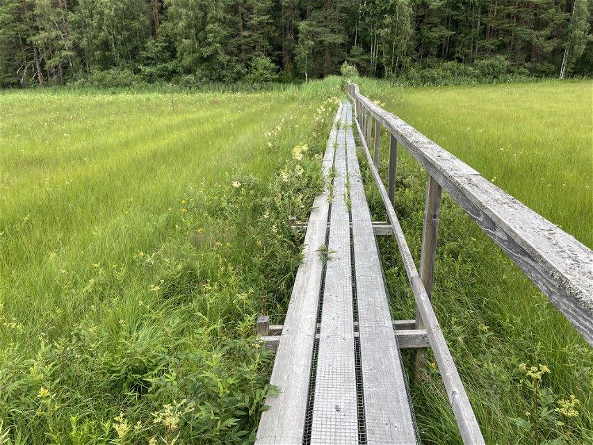
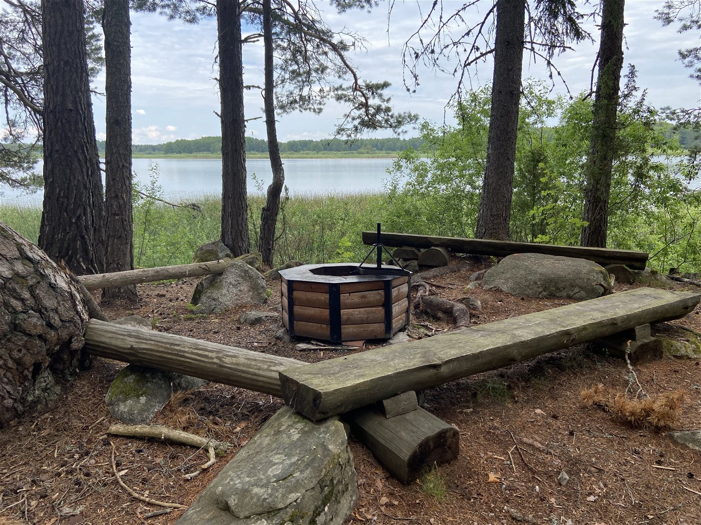
Rastplats Stenharsudd. -

Utsikt över Joksmossen. -
Östa naturreservat. -
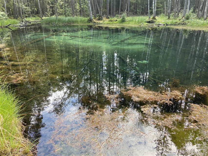
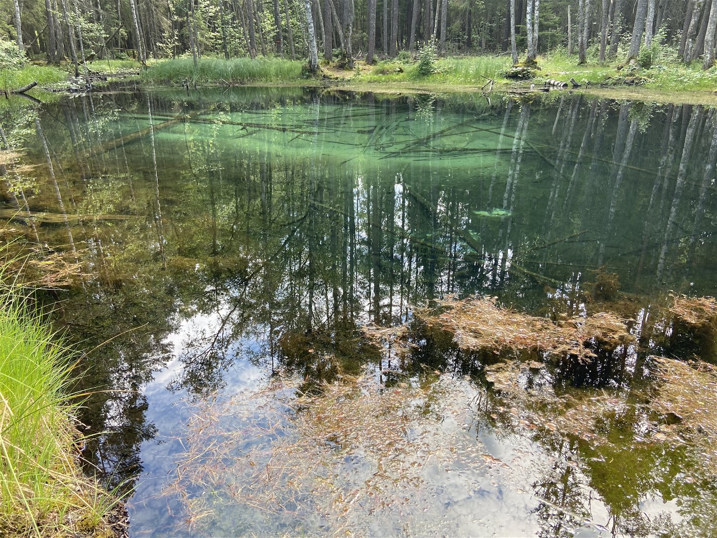
Ingbo Källor.


The Uppland Trail, section 20, 10 km
Hiking
- County: Uppsala län
- 6727.95 km away from you
Trail details
- Length 10.0 km
Actions
Currently
**August 2024
Unfortunately, we are currently having problems with the maintenance of this section. There are stretches with dense vegetation, trees over the trail and it can be difficult to see the markings in a couple of places.
Description
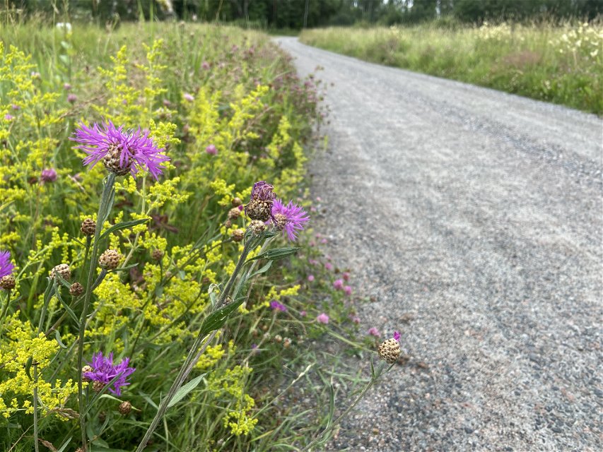
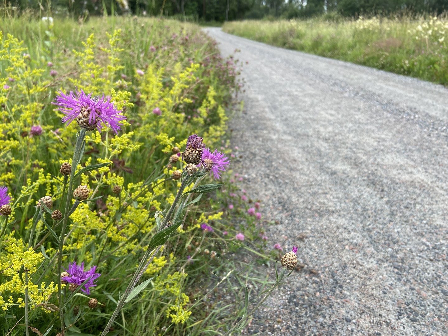
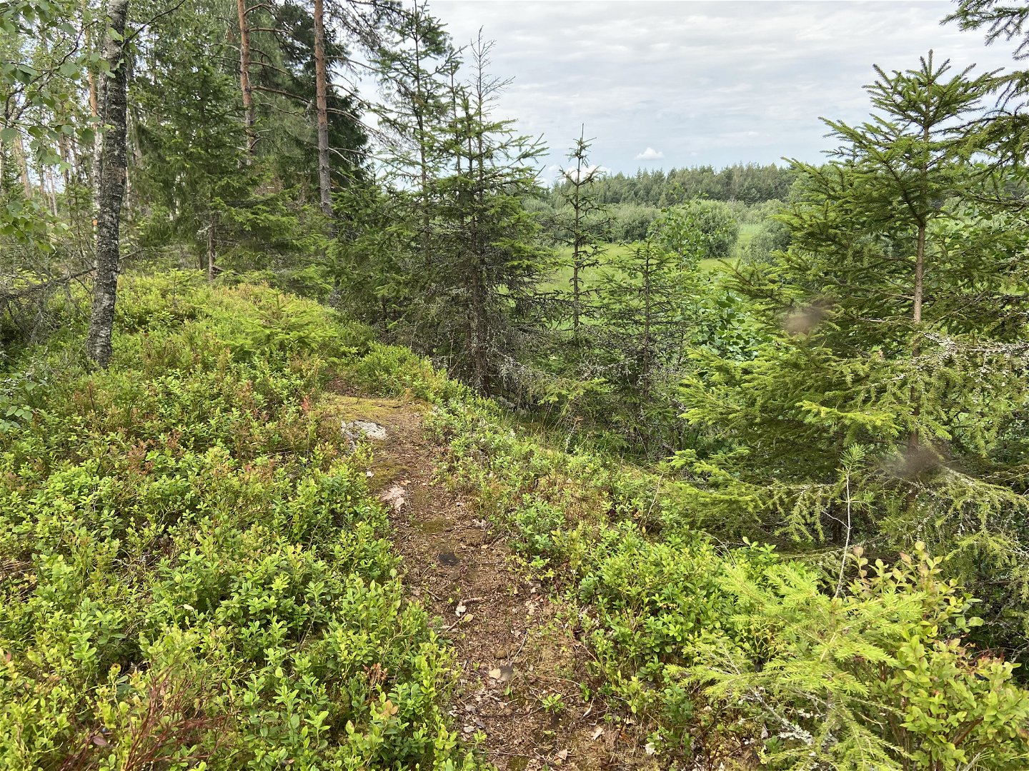
Just like section 19, this section is a historic church path. The section, which is also called The Ljusbäck Trail, starts at Nora Church in Tärnsjö, and reaches nature reserve Ӧsta. The hike starts with around one kilometre on gravel roads. Then, you turn onto a forest road, and, eventually, a less trodden path. Beyond farm Ulebo, the trail reaches the edge of the vast Nordmyran Bog, and at times, you’ll walk on foot bridges. Rest spot Stenharsudd, which is at the halfway point of the section, has a view of Lake Nordmyrasjön.
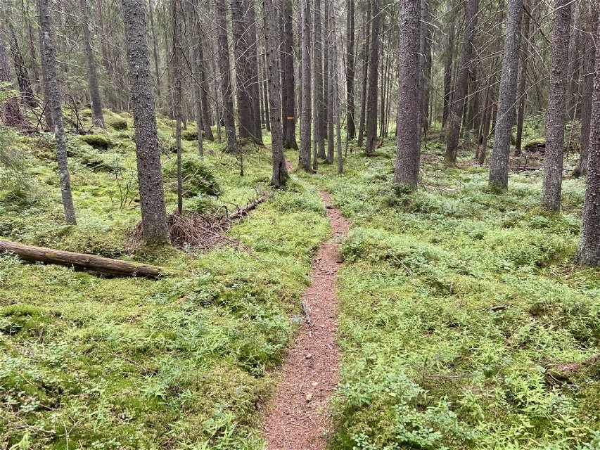
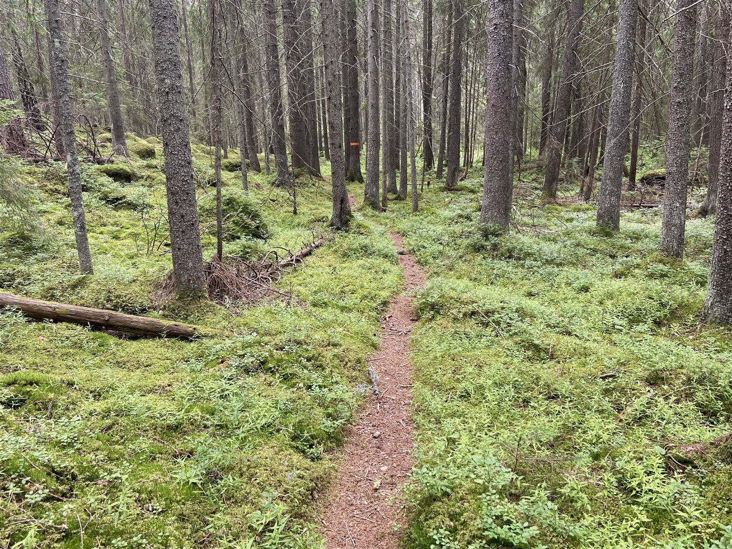
A more rugged section awaits before you enter the pine forest of nature reserve Ӧsta. You can make two detours here, either to nature reserve Ingbo Källor, or to a parking area at Ljusbäck. Finally, the landscape opens up, and you’ll reach nature reserve Ӧsta. There is a campsite with a kiosk and swimming spots at Ӧsta.
Difficulty level: Medium, a bit of road at the beginning, otherwise small forest paths.

Activities And Facilities
-
Hiking
Surface
Mixed hiking along, gravel road and different types of forest path. Partly rocky and a bit hilly.
Parking
Parking is available both at the start and finish.
Communications
In Tärnsjö there is a bus stop Tärnsjö centrum, 500 m from the start. There is no bus service to Östa.
Directions
Tärnsjö is located five miles northwest of Uppsala. Drive to Tärnsjö and follow signs to Nora church. There is a large parking lot right next to the church. Parking is also available at Gröna Kunskapshuset in Östa.
Contact
Email address
Upplandsstiftelsen
Organization logotype
![]()
Please be aware that some of these texts have been automatically translated.
Questions & Answers
Ask a question to other Naturkartan users.
