


The Uppland Trail, section 22, 9.5 km
Hiking
- County: Uppsala län
- 6757.32 km away from you
Trail details
- Length 9.5 km
Actions
Description
Section 22 begins at the beach by Lake Tenasjön, and ends in Ytterkvarn in nature reserve Skattmansöådalen. From the beach, you’ll walk along paths and gravel roads down to the southern end of the lake. At the beginning, where the trail turns off into the forest, you can take a detour up to lookout point Uvhällsklack (300 metres, unmarked path).
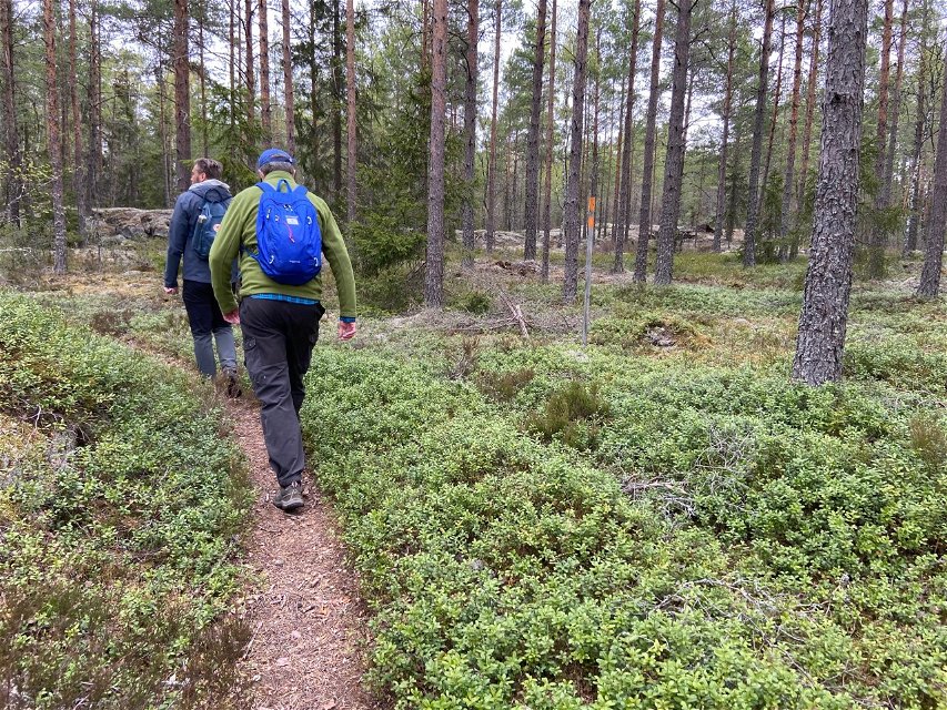
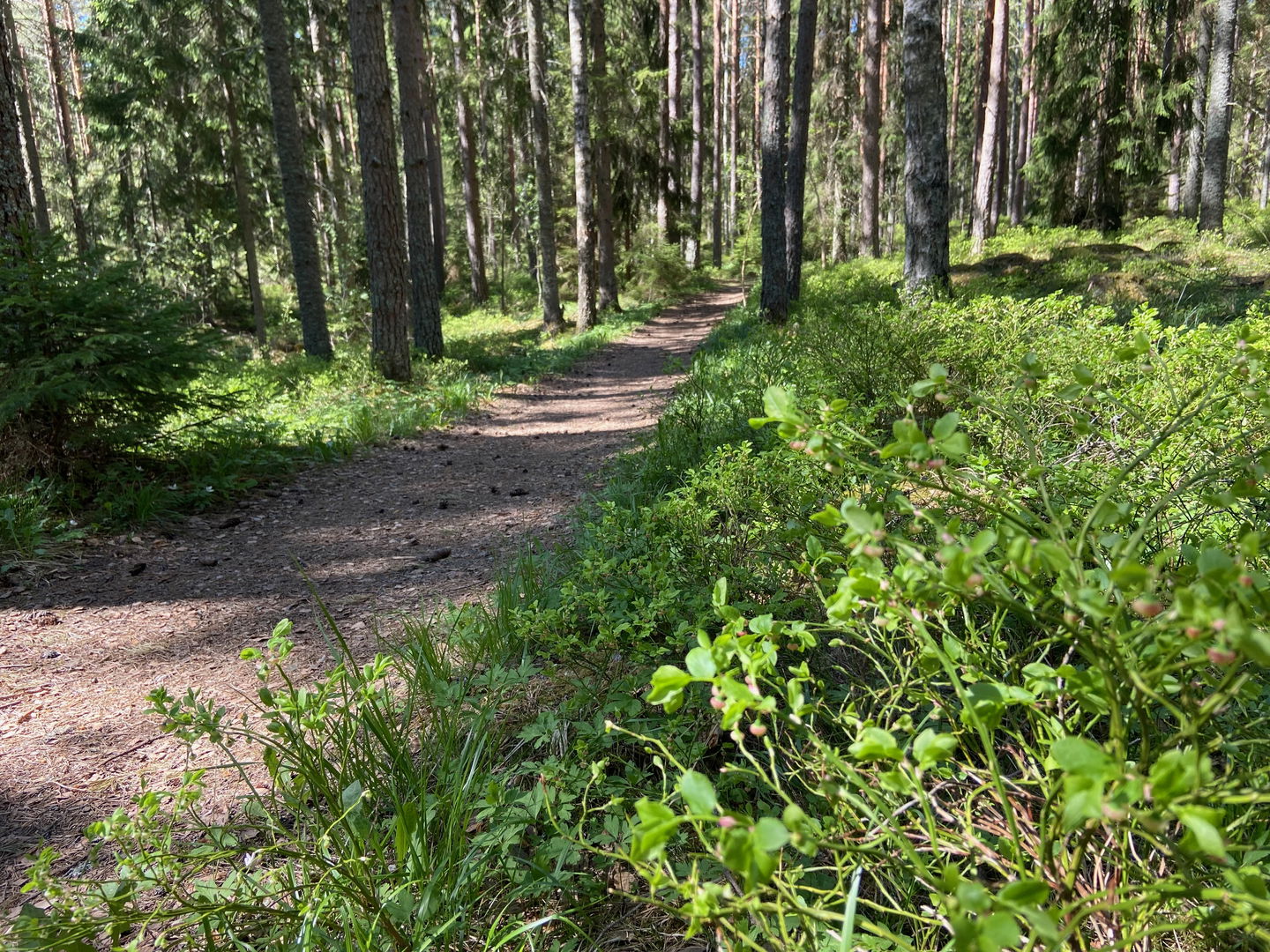
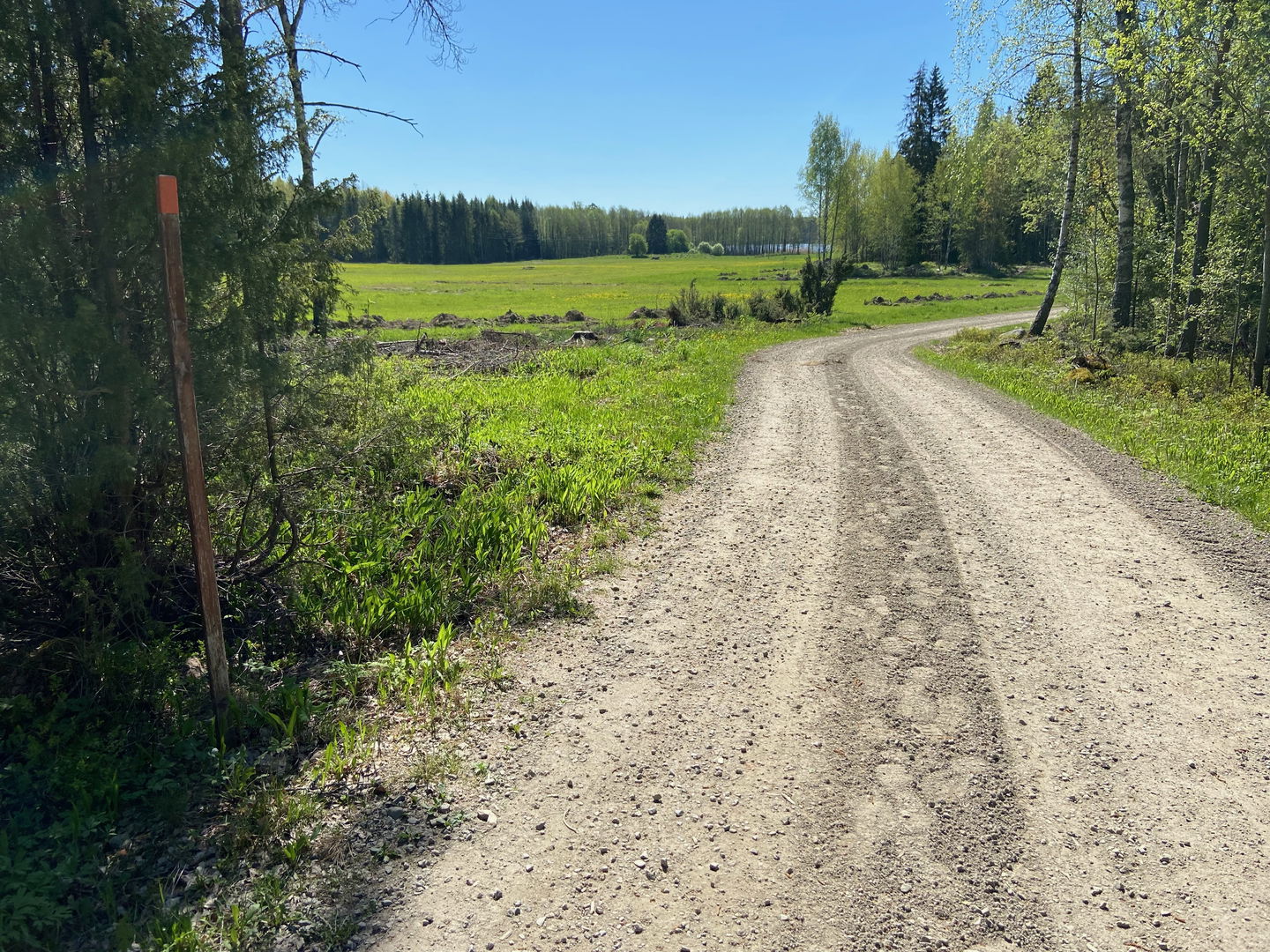
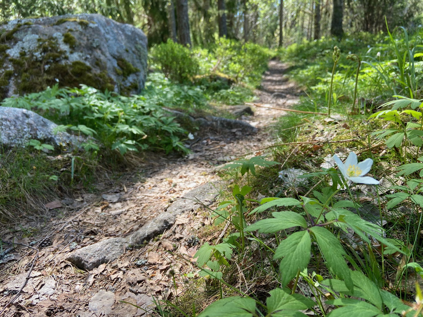
Before leaving Lake Tenasjön behind, you’ll reach a nice rest spot with a wind shelter and a fireplace. You’ll then follow a forest road for cars for 2 kilometres, and then a path for the rest of the section, through rugged coniferous forests. Towards the end, you’ll reach Skattmansöådalen, a beautiful, open river valley with animals grazing along the hillsides.
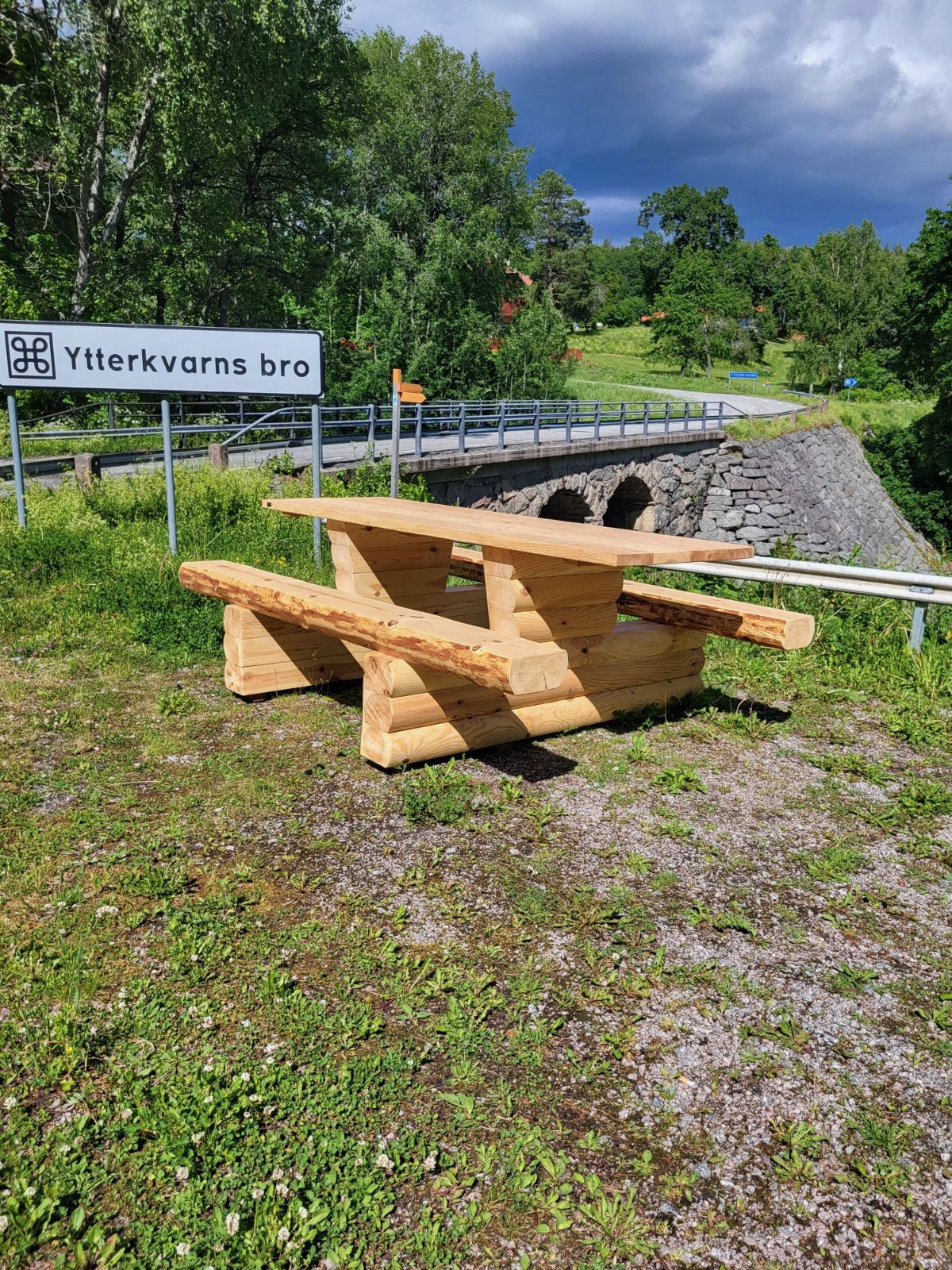
Inside the nature reserve is a rest spot with a wind shelter and fireplaces by the ski slope, and you’ll get a view of the valley. There’s only about 1 kilometre left to Ytterkvarn.
Difficulty level: Easy, roads and easy-to-walk forest paths.
Activities And Facilities
-
Hiking
Surface
The walk follows forest paths and a forest road.
Parking
Parking is available at both the start and finish.
Communications
You pass a bus stop, Rosenbacka, where the trail crosses road 72. From the bus stop, it is a 2.5 km hike along Upplandsleden stage 21 to get to Tenabadet.
It is not possible to get to Skattmansöådalen by bus.
For bus timetables and bus numbers, go to www.ul.se
Directions
To get to Tenasjön, take road 72 towards Heby. Just before Vittinge, turn left towards Skattmansö. Drive 1.5 km and then look out for a small sign for swimming on the right.
To get to Skattmansöådalen, follow the signs from road 72, just before Vittinge. Turn left at the junction after Skattmansöstugan to get to Ytterkvarn.
Contact
Email address
Upplandsstiftelsen
Organization logotype
![]()
Please be aware that some of these texts have been automatically translated.
Questions & Answers
Ask a question to other Naturkartan users.
