


The Uppland Trail, section 6, 15.5 km
Hiking
- County: Uppsala län
- 6836.93 km away from you
Trail details
- Length 15.5 km
Actions
Currently
Description
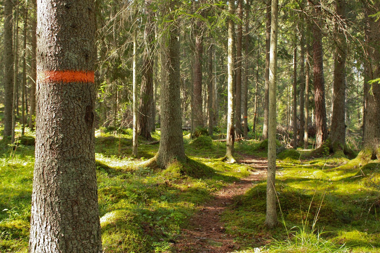
The hike begins at the beach by Lake Södersjön, and ends at the road into Knutby. It takes you almost exclusively through forest terrain, with only a couple of houses along the way.
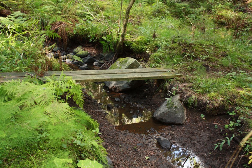
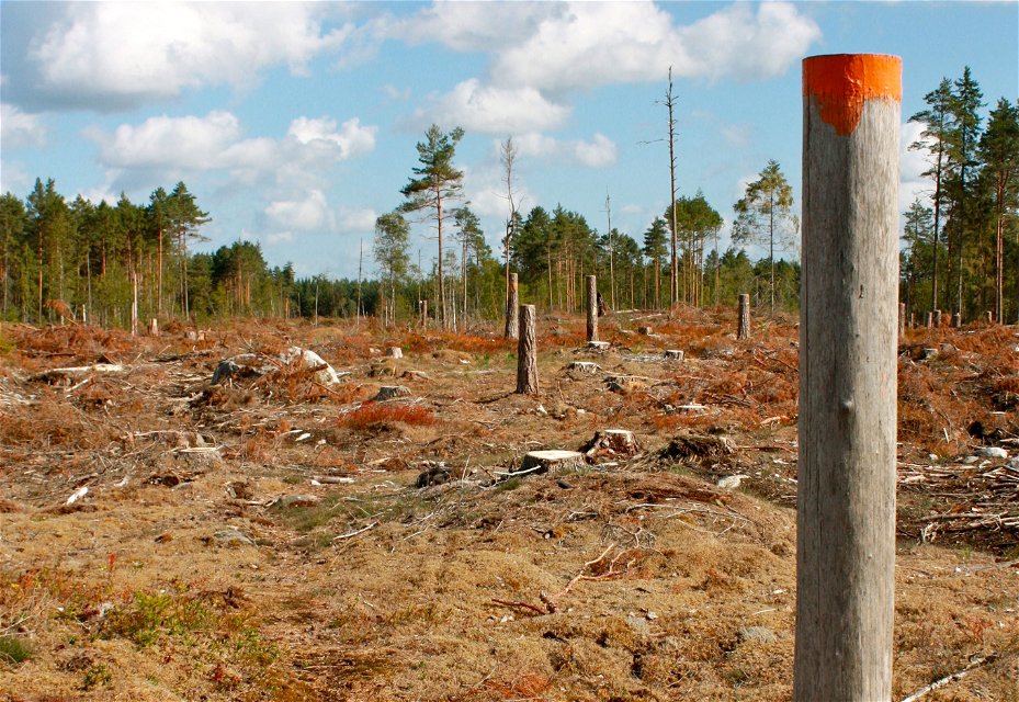
After about 500 meters, you’ll reach a meadow. Keep to the right to see where the trail goes. Then, you’ll walk on paths through a varied coniferous forest. After a vast clear-cut area, you’ll reach a section of uneven ground where tall grass grows in the summer.
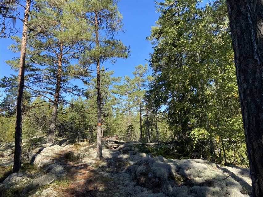
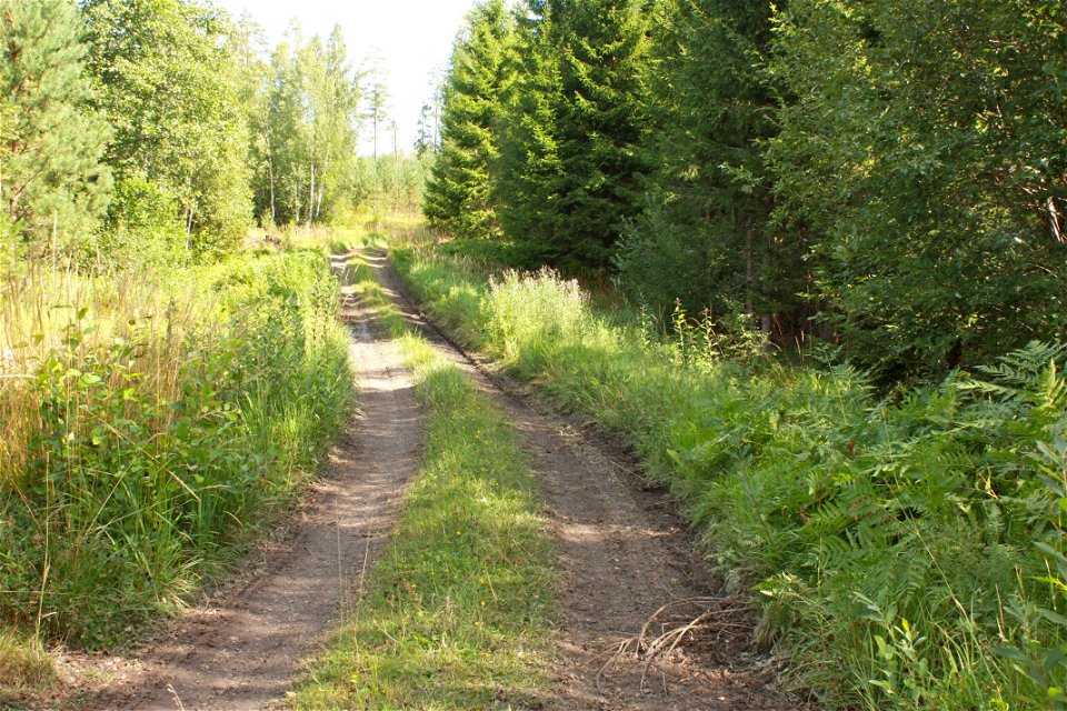
After about 6 kilometers, you’ll reach Lake Kolsjön, which has a rich bird life. You can make a brief detour to the wind shelter which has a view of the water. You’ll continue along forest and country roads to more paths, first through dense and rocky forests, then more open forests with beautiful flat rocks. The remaining 3 kilometers are along a country road to Knutby.
Difficulty level: Medium, nice paths and a few kilometers on roads.
Activities And Facilities
-
Hiking
Accessibility
-
 Near Public Transport
Parking
Parking is available both at the start and finish. The one at the start is quite small.
Communications
The nearest bus stop to Södersjön is Rånäs vägskäl. From here it is a 1.5 km walk along a small country road to the swimming area. In Knutby there is a bus stop Knutby vårdcentral right at the end of the stage.
Directions
Södersjön is located a few kilometers southeast of Almunge. Take road 282, through Almunge and continue towards Knutby. Turn right at the sign for Rånäs and Almunge G.K. After 1.5 km, a small sign points down to the swimming area.
Contact
Email address
Upplandsstiftelsen
Organization logotype
![]()
Please be aware that some of these texts have been automatically translated.
Questions & Answers
Ask a question to other Naturkartan users.
