-

-
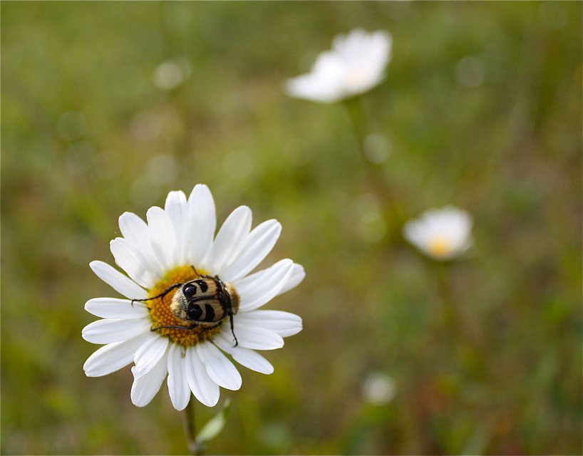
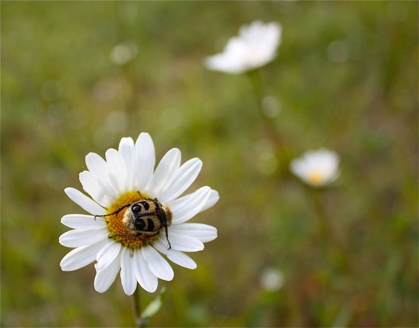
Humlebagge -
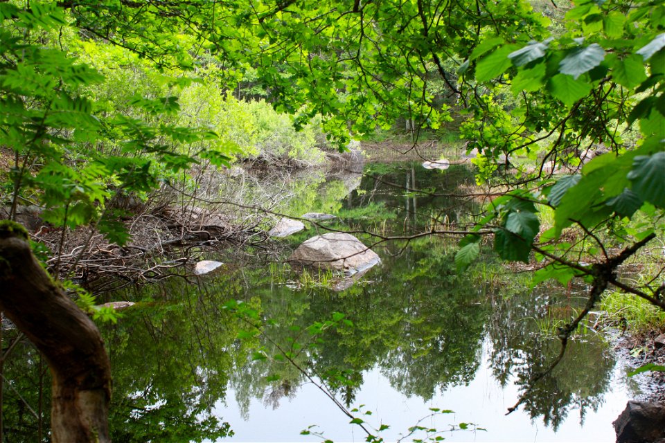
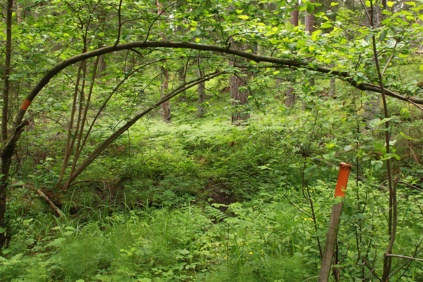
Glupen Rudbäcken -


The Uppland Trail, section 8, 9 km
Hiking
- County: Uppsala län
- 6813.01 km away from you
Trail details
- Length 9.0 km
Actions
Currently
Våren 2025; det kan vara svårframkomligt genom Pansaruddens naturreservat då granbarkeborreangrepp gjort att många träd dött som vart efter faller över leden.
Description
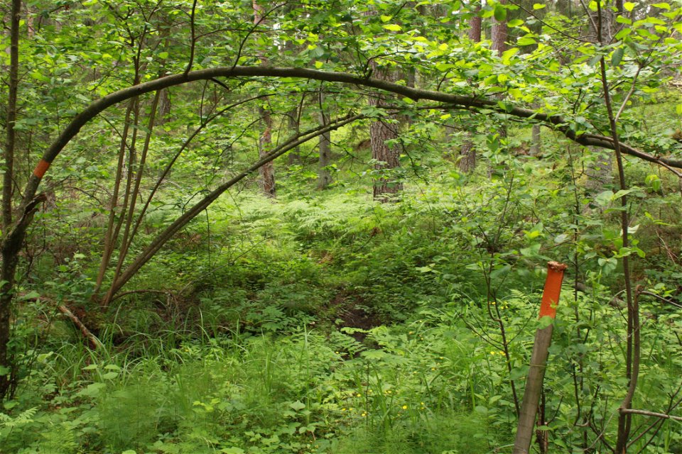
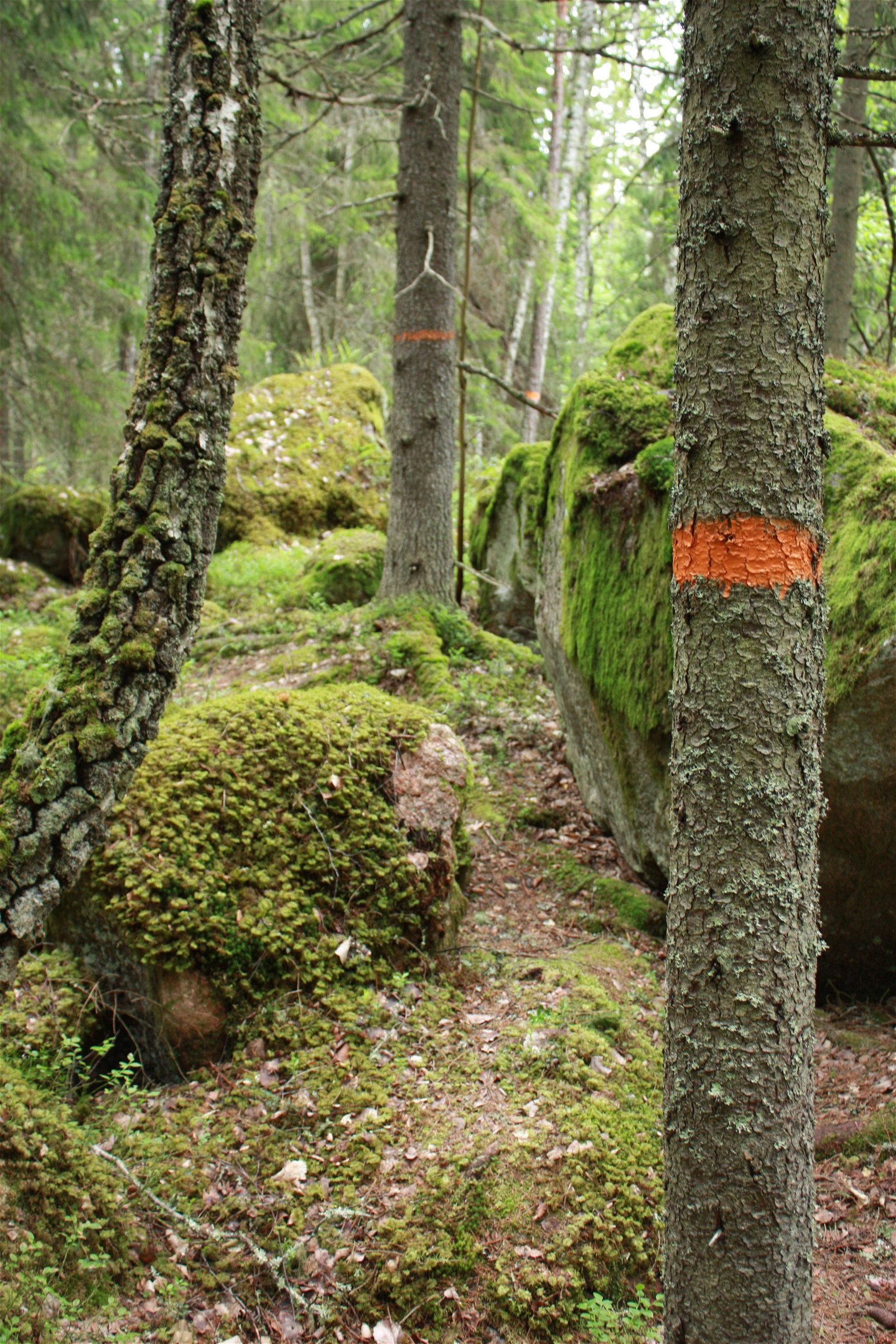
The section starts at Bennebol’s mill, and ends at the northern parking area of Pansarudden. Towards the end of the section, you can take a detour and do the Pansarudden Walk (see 8:1) too. 1.5 kilometres of gravel roads take you through the forest, and past nature reserve Dammen, before the trail turns onto a path across some clear-cut areas, and up to Lake Skysjön. After the village of Kobol, the path is narrow, and not well trodden. You’ll walk through slightly rugged forests with big, moss-covered boulders. Here, in nature reserve Pansarudden, parts of the forest are over a hundred years old, and animals such as the ural owl, wood grouse, black grouse and lynx live here. Just before the end of the section, you’ll pass enchanting pond Rudbäcken, where old oak trees stretch their branches out over the water.
Difficulty level: Medium, mostly small forest paths, large boulders towards the end.
Activities And Facilities
-
Hiking
Surface
Mostly nice forest trail, but not so well trampled. Towards the end large boulders and some more difficult parts.
Parking
Parking is available at the start of the stage, at Hästhagen-Kilholmens nature reserve. There is also parking at the end, in the northern part of Pansarudden Nature Reserve.
Communications
It is not possible to get to this stage by bus.
Directions
Bennebols mill is located northeast of Knutby. Take road 282 to Knutby. In the village turn off towards Gimo. After 4 km turn right towards Vällnora. Bennebol is located a few kilometers east of Vällnora mill.
You can also get here from Hallstaviksvägen. Turn off where there are signs for Bennebol and Vällnora, about 3 km east of Lake Vällen.
Contact
Email address
Upplandsstiftelsen
Organization logotype
![]()
Please be aware that some of these texts have been automatically translated.
Questions & Answers
Ask a question to other Naturkartan users.
