-
Längst Upplandsleden -

-

-

-
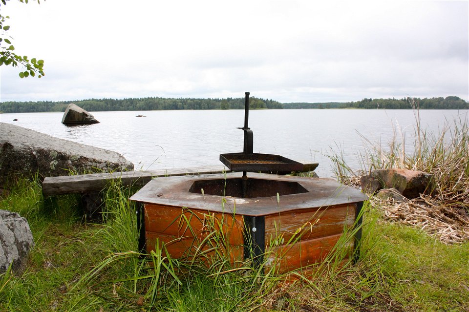
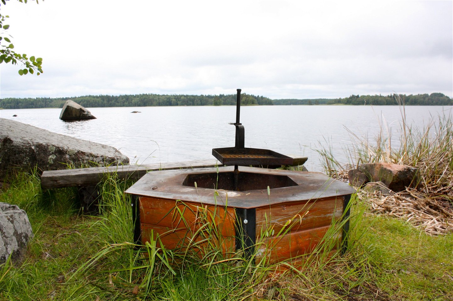
Rastplats vid Vällen


The Uppland Trail, section 9, 8 km
Hiking
- County: Uppsala län
- 6809.8 km away from you
Trail details
- Length 8.0 km
Actions
Description
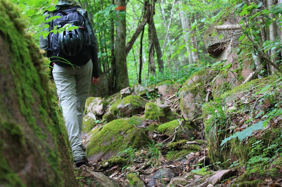
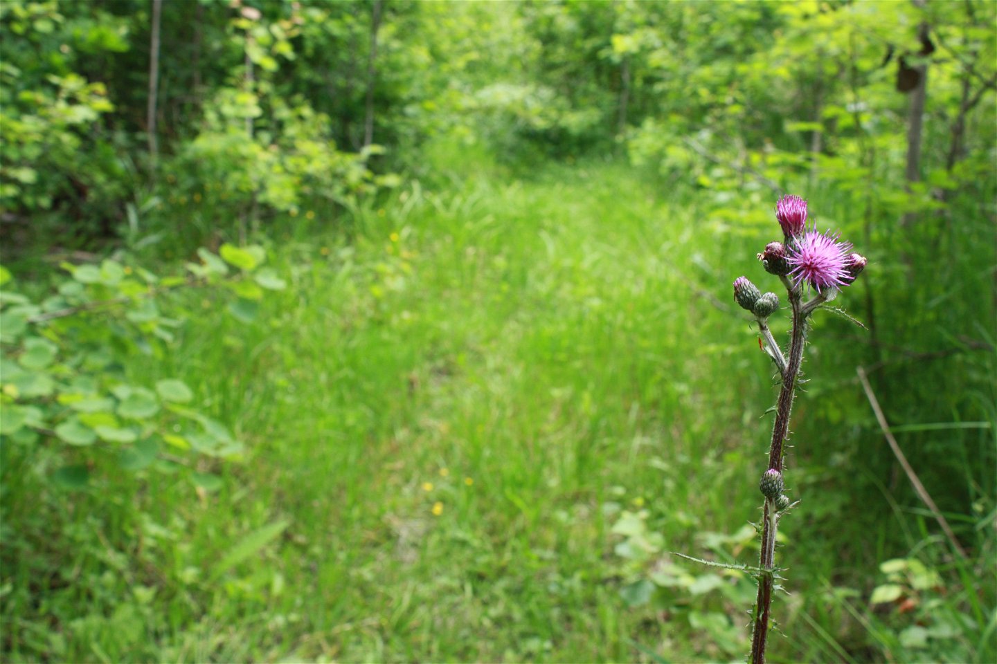
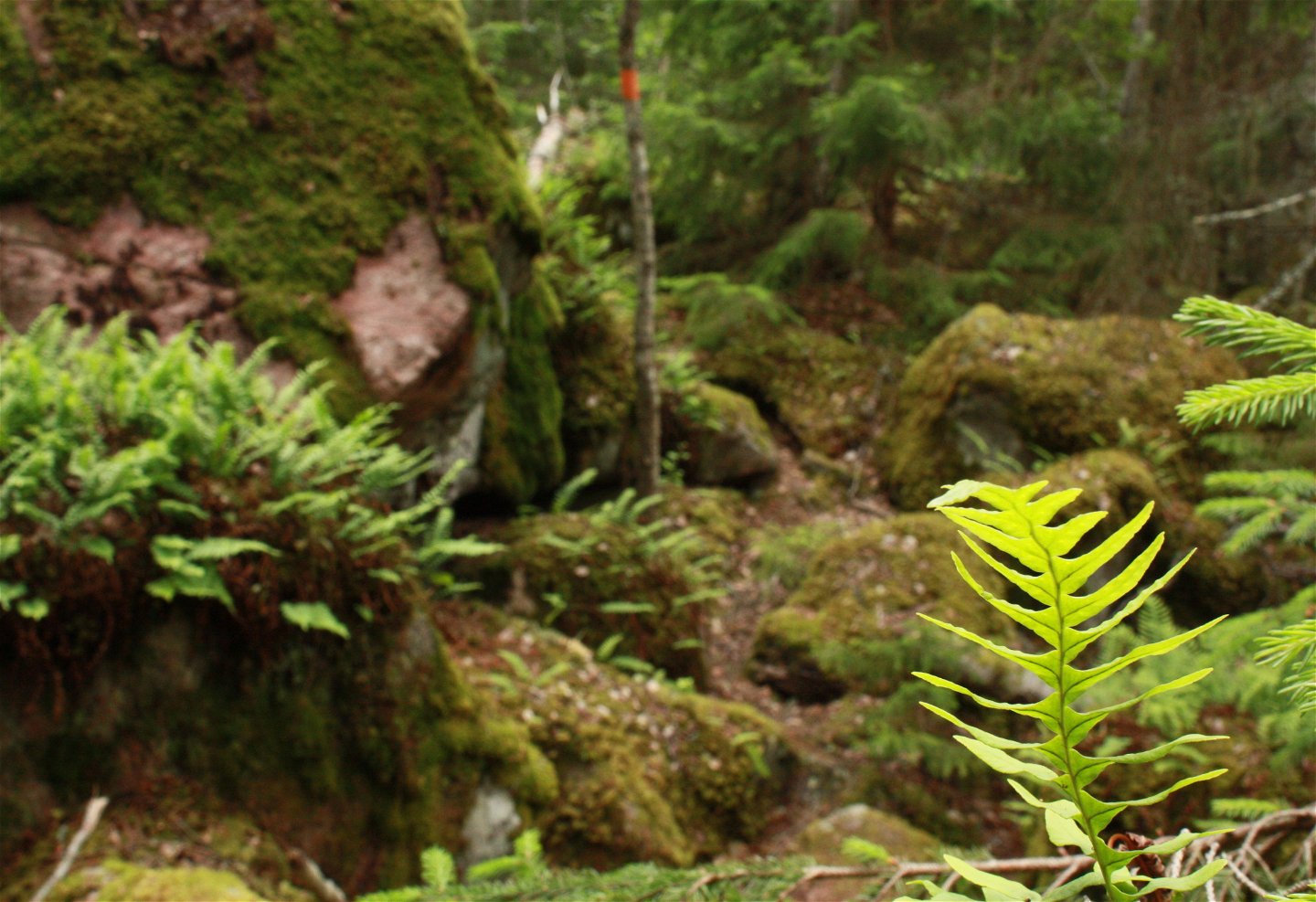
This section, an adventure up hill and down hill, takes you on a forest path along Lake Vällen from Pansarudden’s northern parking area to the River Kolamoraån. The path starts out easy to walk on, but gets narrower closer to the lake. The section to Hallstaviksvägen is on terrain that is rich in boulders and roots, surrounded by lush greenery. You’ll catch glimpses of Lake Vällen. After 1.5 kilometres, you’ll reach a rest spot on a little peninsula.
Eventually, you’ll reach nature reserve Björnsundet, which is also a proper troll forest. After a walk of 4.5 kilometres, once you’ve crossed the Hallstavik Road, the trail lingers on for 1 kilometre along a small gravel road. From the end of the gravel road, you will have 3 kilometres left to the end of the section, where the Lake Vällen turns into River Kolarmoraån. There are two wind shelters by the edge of the river.
Difficulty level: Hard, small paths on flat ground, but sometimes rocky terrain with boulders.
Activities And Facilities
-
Hiking
Surface
One of the Upplandsleden's bumpiest stretches with many stones and roots. Otherwise flat terrain
Parking
Parking is available at Pansarudden where the stage starts. It is not possible to get to the end of the stage by car.
Communications
There is a bus stop in the middle of the route at Kasbol, where Upplandsleden crosses Hallstaviksvägen.
Directions
Pansaruddens nature reserve is located 9 km northeast of Knutby. From road 288, turn off towards Hallstavik on road 661 just east of Gåvsta. 2.5 miles later you pass over Vällen and a couple of kilometers further on you turn right towards Vällnora and Bennebols bruk. After 4 km you will come to the northern parking lot in Pansaruddens nature reserve.
Contact
Email address
Upplandsstiftelsen
Organization logotype
![]()
Please be aware that some of these texts have been automatically translated.
Questions & Answers
Ask a question to other Naturkartan users.
