-

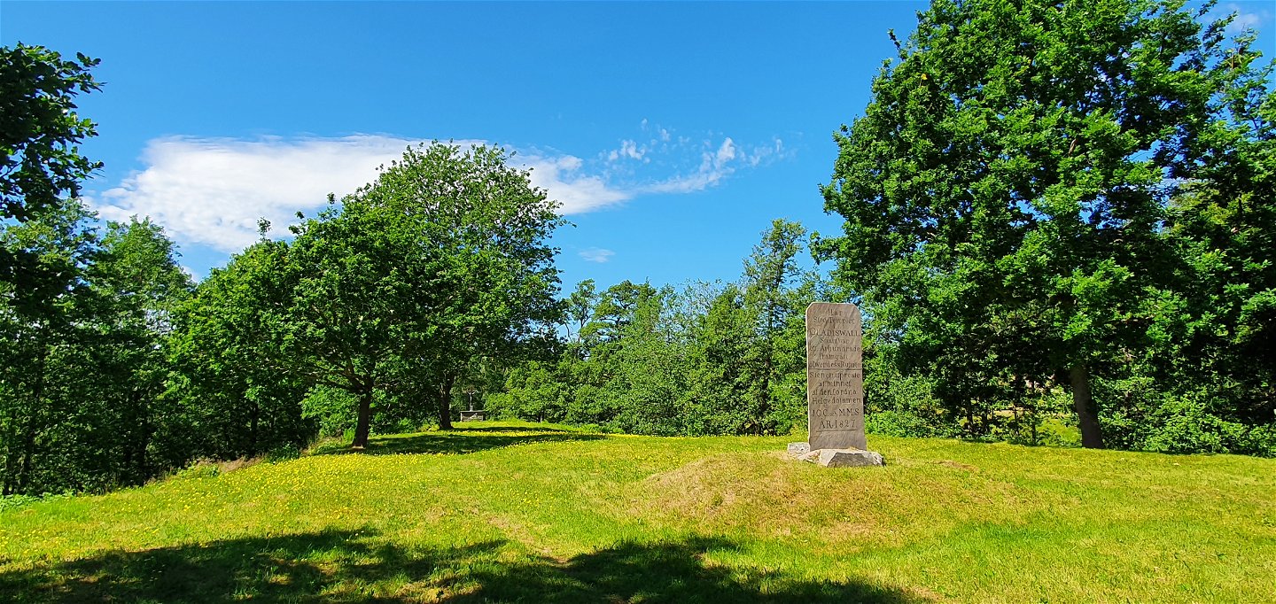
Gladisvall, Hillringsberg, historical church ground since the 1100s.
Photo: Arvika Turistbyrå -

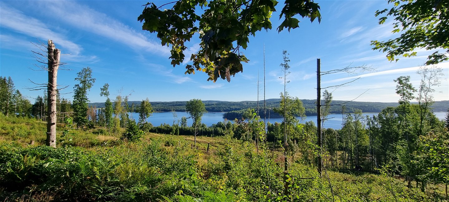
Glafsfjorden from Torrgårdshöjden, by the Säffle border.
Photo: Arvika Turistbyrå -

Majsaklätten provides wilderness spirit and the highest peak at 188 m above sea level.
Photo: Arvika Turistbyrå -

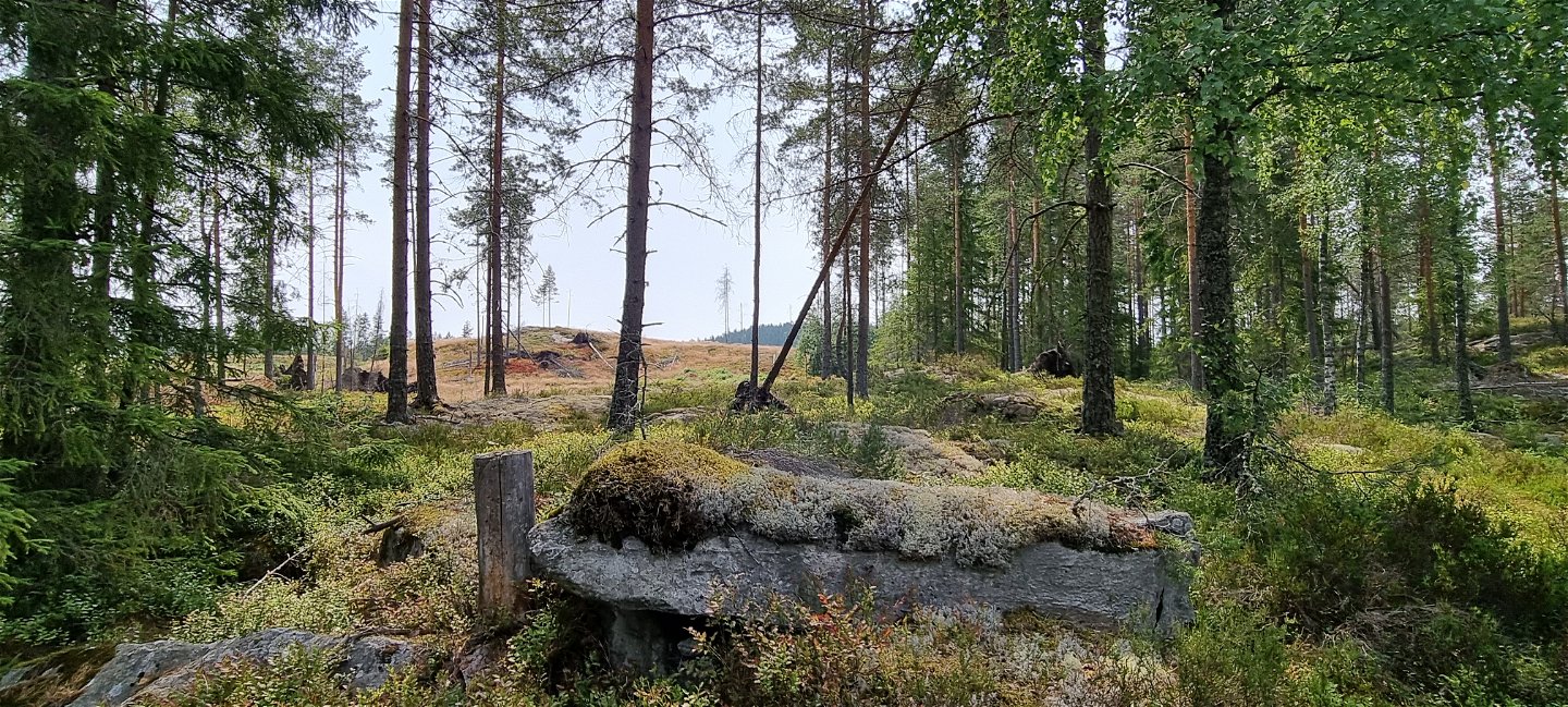
Söljes historical industrial area.
Photo: Arvika Turistbyrå -

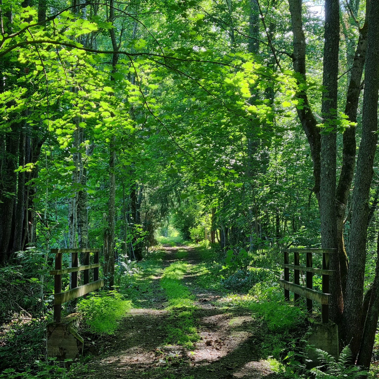
Maple alley along the old railway at Glava glasbruk.
Photo: Arvika Turistbyrå -

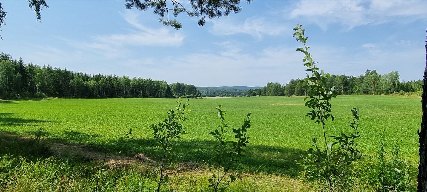
Farm land south of Glava.
Photo: Arvika Turistbyrå -

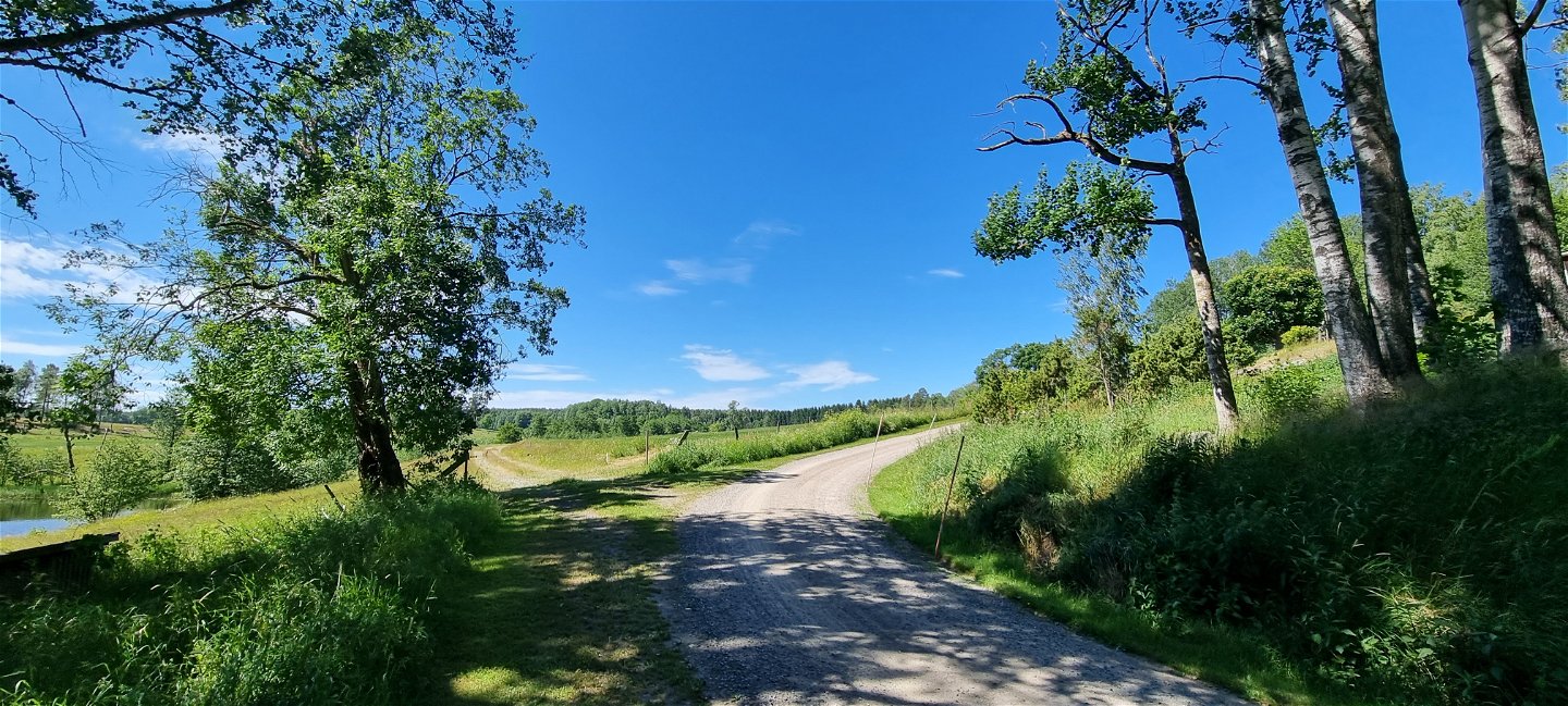
The trail partly follows gravel roads.
Photo: Arvika Turistbyrå -

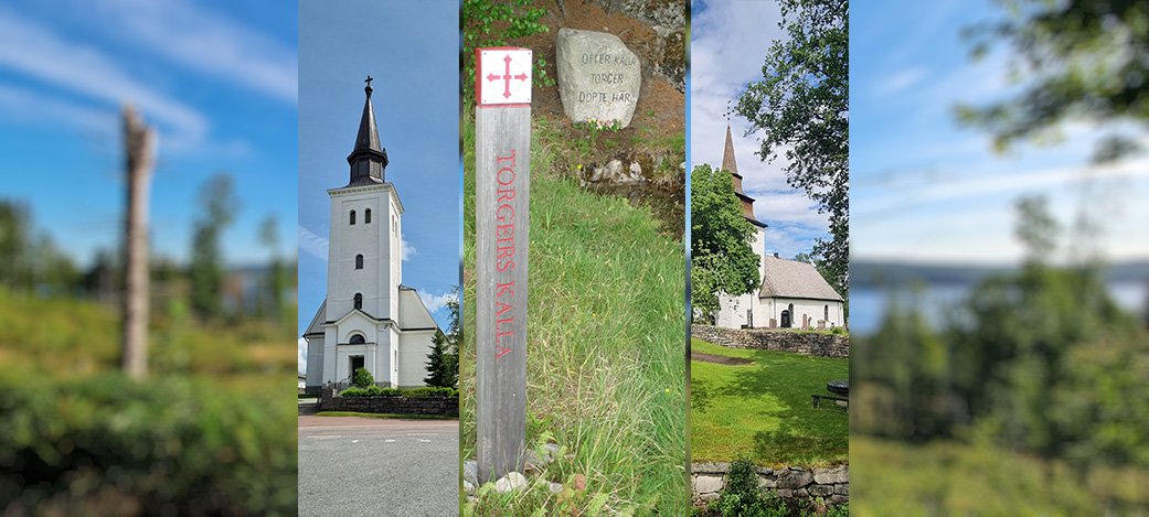
Glava Church, Torgeir's Well and Älgå Church.
Photo: Arvika Turistbyrå -

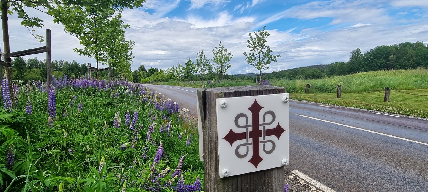
The Cross of St Olof is the symbol of the Pilgrim Trail..
Photo: Arvika Turistbyrå -

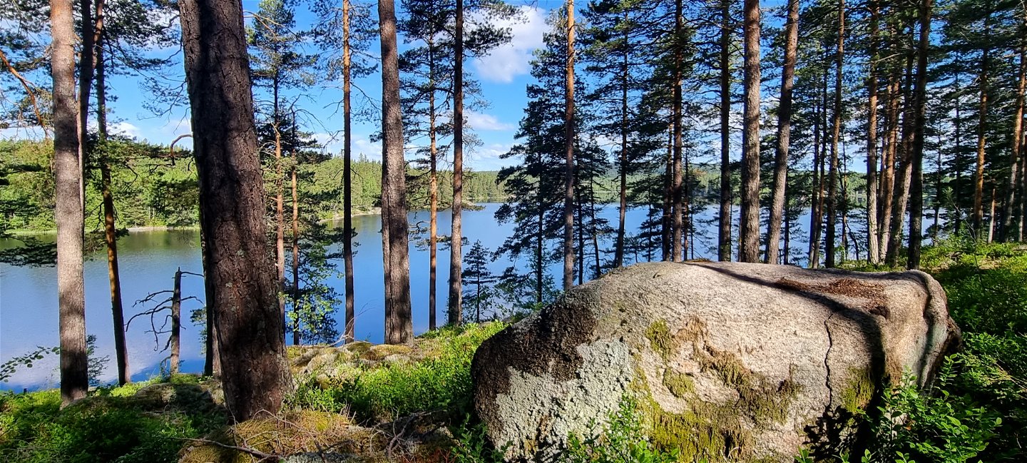
Älgsjön
Photo: Arvika Turistbyrå -

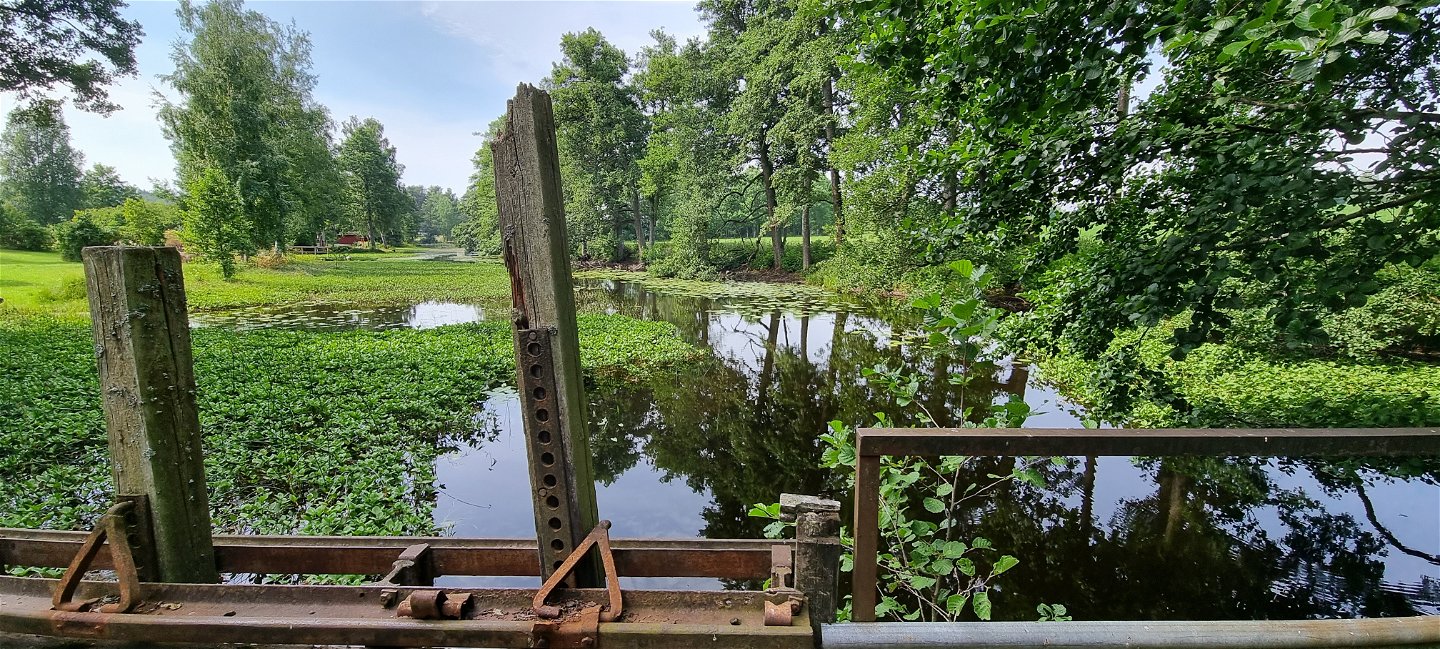
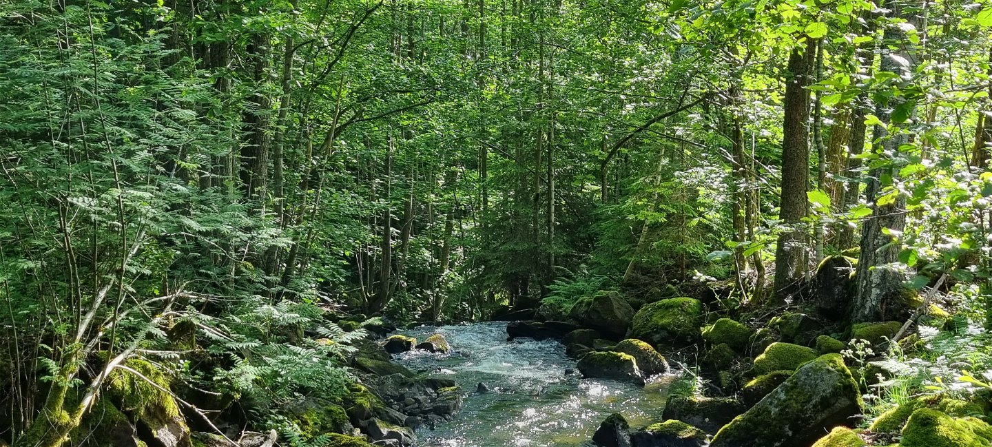
River Älgån is the outlet of Lake Älgsjön.
Photo: Arvika Turistbyrå

Pilgrimsleden, stretch through the Arvika municipality
Pilgrim Trail
- County: Värmlands län
- 6698.61 km away from you
Trail details
- Length 56.0 km
- Time 14 h
- Difficulty Green - simple
Actions
Description
Pilgrimsleden Västra Värmland, starting in Västergötland, goes via Lurö and continues across Värmlandsnäs through Säffle, Arvika and Eda municipalities to the Norwegian border. On the Norwegian side it continues towards Trondheim, former Nidaros.
Throughout Arvika municipality, the St Olof's (St Olav's) Cross on wooden posts will guide you all the way from Stömne in the South, at the Säffle border, up to Krokebol in the North East, by the Eda border. The markings are the same as for other Pilgrim's Trails in Sweden and Norway.
The trail mainly goes through easy terrain, but some stretches follow common roads to connect the 56 km through Arvika. You will experience all sorts of surroundings - meadows, farm land, small villages, gravel roads, asphalt roads, forest roads, forest paths, historic and cultural landmarks.
To read more or download information and maps of the Pilgrimsleden Västra Värmland from Lurö to the Norwegian border, please visit:
www.svenskakyrkan.se/arvika
To find out more about pilgrim life and trails in Sweden, please visit:
www.pilgrimisverige.se
Activities And Facilities
-
 Hiking
-
 Archaeological
-
Pilgrim Trail
Surface
The trail passes through all types of terrain - meadows, farmland, small communities, gravel roads, asphalt roads, forest roads, forest paths and past cultural and historical landmarks. Often the surface is old marsh roads with grass in the middle, but also shingle-covered logging roads, forest trails and asphalt or gravel roads for car traffic.
Hills
Mostly flat and easy to walk, but along some forest areas the climb can be a little steeper, for example Majsaklätten in Sölje.
Communications
According to the pilgrim tradition, the direction of the trail is from south to north, finally reaching Nidaros/Trondheim.
Part towards Säffle municipality , long 12,782 / lat 59,406 The trail crosses the municipal boundary along a small gravel road, next to Torrgårdshöjden. The nearest public and spacious parking lot is about 2 km north of the section at Stömne nature reserve. You can also take bus 103 Arvika-Stömne. For timetables see Värmlandstrafik (varmlandstrafik.se).
If you choose to go in a southerly direction from the part towards Eda municipality, the coordinates of the starting point in Krokebol are long 12,326 / lat 59,699. Bus line 104 Arvika-Koppom-Årjäng runs past Krokebol. For timetables see the link above.
Downloads
- Pilgrimsleden through Arvika, trail description 858 KB
- Map overview of the Pilgrimsleden Västra Värmland 3 MB
- Detailed map Pilgrimsleden Stömne-Sölje 5 MB
- Detailed map Pilgrimsleden Sölje-Hillringsberg 3 MB
- Detailed map Pilgrimsleden Hillringsberg-Glava 3 MB
- Detailed map Pilgrimsleden Älgå-Krokebol 5 MB
- Detailed map Pilgrimsleden Glava-Älgå 4 MB
Contact
Address
Visit Arvika
Arvika Turistcenter
Storgatan 22
SE 671 31 Arvika
www.visitarvika.se
Email address
Visit Arvika
Organization logotype
![]()
Please be aware that some of these texts have been automatically translated.
Questions & Answers
Ask a question to other Naturkartan users.
