

Skutberget–Kil
To do
- County: Värmlands län
- 6603.76 km away from you
Actions
Description
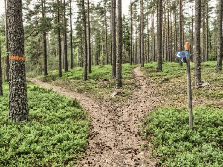
From Skutberget, west of Karlstad, starts a 22 km long hiking trail. It stretches from the shore of Vänern via Sörmon and Högemon, continues to Kil ravines and ends in Kil.
There are information boards that describe everything of geological, botanical and historical interest.
It is possible to divide the trail into stages.
Parking spaces can be found at the intersection of E18 and Högemons nature reserve.
A map can be bought at the Karlstad Tourist Office, 40 SEK
Welcome to a hiking trail that offers you new experiences!
Activities And Facilities
-
 Hiking
-
To do
Contact
Email address
Kontakta VisitVärmland
Organization logotype
![]()
Questions & Answers
Ask a question to other Naturkartan users.
