
Skellefteå


Hiking
Fin gammal blandskog och vindskyddet Boströms Café.
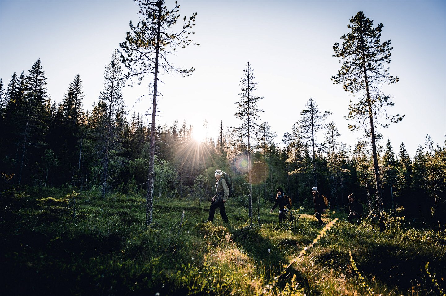
Gruvstigen runs in varied terrain and along forest roads.
Hiking
Längs leden hittar du två rastplatser, en strax innan Löparnäs (Boströms café) och en i Holmlund. Gruvstigen förbinder Mineralleden med Nasaleden.
grusväg, skogsstig, skogsbilväg,
Vid Skellefteå Adventurepark i Varuträsk.
Kundtjänst Skellefteå kommun
![]()
Ask a question to other Naturkartan users.
