
Skellefteå


Hiking
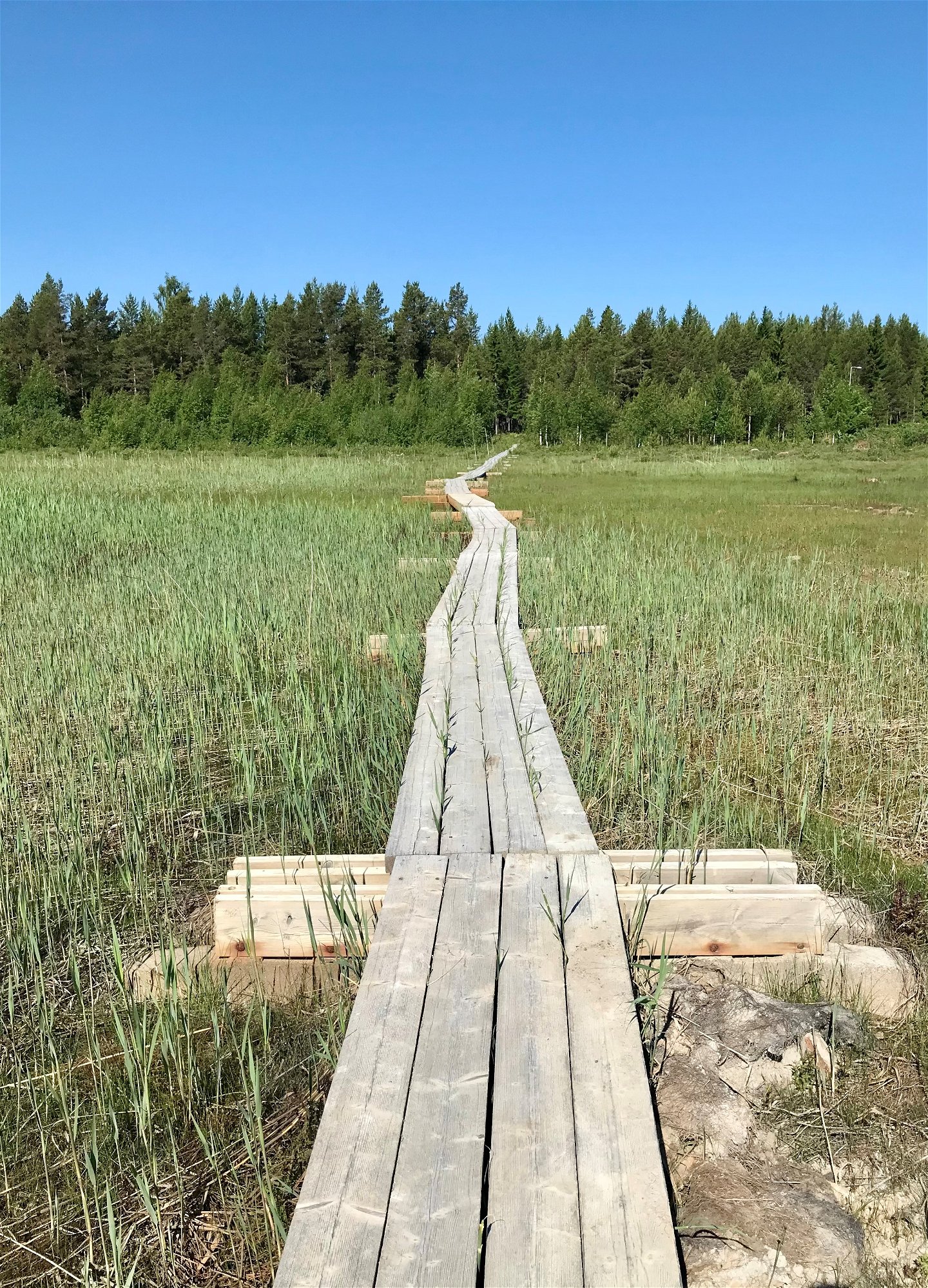
A scenic hiking trail that runs in varied forest terrain, on a road, over a 230-metre footbridge over Grytsundet and in some parts close to the sea. Guided tours along the Grytsund Trail for private individuals and organizations. Yvonne Frank guides in Swedish and English, mainly weekends but may know weekdays as well. Requirements minimum 5 people. Contact Skellefteå Tourist Center for contact information for the guide phone +(0) 910 452510 or info@visitskelleftea.se
Hiking
 Stroller accessible
 Wheelchair accessible
Längs leden hittar du lokal historia, händelser och platser beskrivna på informationstavlor. Du kan bland annat läsa om landgränser och strandlinjer kring år 1500, Skellefteå stads äldsta handling från 1672 och hampa/linberedning från 1900-talets början.
Du kan välja att starta vid båthamnen, Stolsviken eller vid vändskivan Bjässvikholmen, Bjässviken. På alla de platserna finns möjlighet att parkera bilen.
Kundtjänst Skellefteå kommun
![]()
Ask a question to other Naturkartan users.
