
Skellefteå


Hiking
Under sommaren finns ett café i Renbergsvattnet.
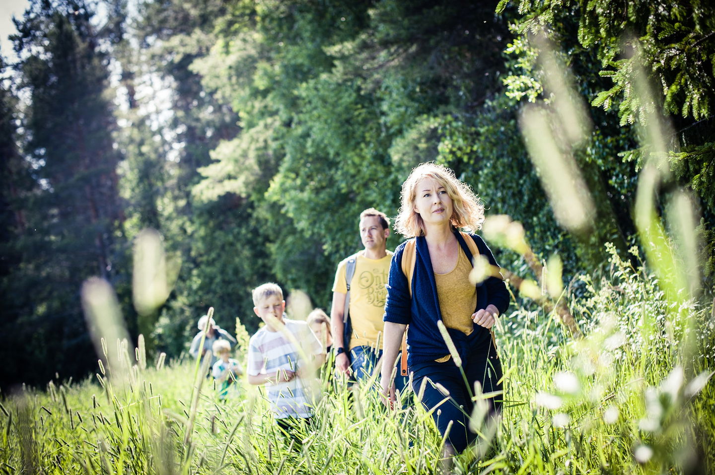
The trail is well marked and offers varied environments and varied landscapes. The trail goes through mixed forest, past marshes and stone slabs. There are also a number of rest areas with wind shelters along the trail.
Hiking
 Stroller accessible
 Wheelchair accessible
Den gamla färdvägen mellan kyrkorna går genom omväxlande natur och ger goda möjligheter till naturupplevelser.Vill du övernatta finns den timrade slåtterladan ”Krypladan” nära korsningen Kyrkstigen/Brännvattsvägen.
asfalt, grus, skogsbilväg, naturstig
Du kan parkera vid Skellefteå landskyrka eller vid Burträsk kyrka. De två ändpunkterna. Längs leden finns många ställen att starta. Inga officiella P-platser finns dock utmärkta.
Du kan välja att starta vid Skellefteå landsförsamlings kyrka, Burträsk kyrka eller i någon av de byar där leden passerar. Gå in på webben och välj det som passar dig bäst.
Kundtjänst Skellefteå kommun
![]()
Ask a question to other Naturkartan users.
