Naturstigen
Hiking
- County: Västerbottens län
- 6655.88 km away from you
Trail details
- Length 5.0 km
Actions
Description
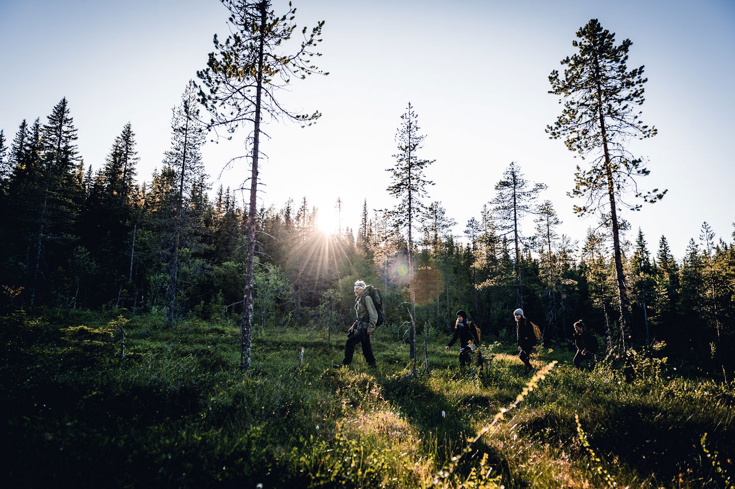
The path goes in hilly terrain with a few short, steeper sections. The path is well marked with blue/white hiking trail signs. Along the path there are signs with information about the landscape, culture, geology and more.
Activities And Facilities
-
Hiking
Accessibility
-
Stroller accessible
Facts
Naturstigen går i kuperad terräng med några få korta, brantare partier. Längs leden hittar du rastplatser, vindskydd och information om landskap, kultur och geologi. Gammal skog med höga naturvärden strax före stora vindskydde
Surface
skog, motionsspår, hällor
Parking
Vid Vitbergets spårcentral
Directions
Kör Slalomvägen upp mot Vitbergets spårcentral.
Contact
Email address
Kundtjänst Skellefteå kommun
Organization logotype

Questions & Answers
Ask a question to other Naturkartan users.


