-
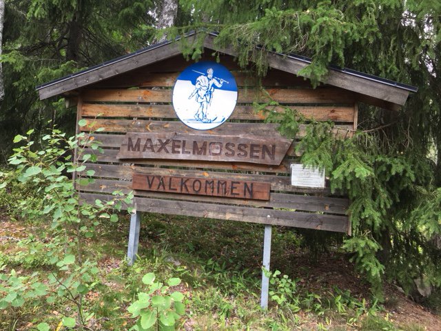
Välkommen till Maxelmossen -

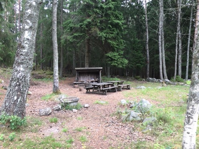
Grillplats vid Maxelmossen -
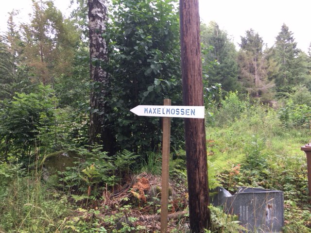
skylt vid parkering


Arboga Maxelmossen
Hiking
- County: Västmanlands län
- 6726.51 km away from you
Trail details
- Length 12.6 km
Actions
Description
The exercise tracks at Maxelmossen run on easier terrain, alternating between forest and meadow land. The tracks mainly follow old tracks and risers that have existed in the area for hundreds of years. In some places there are remains of old crofts and house ruins. Since 1960, the outdoor promotion Arboga's clubhouse has been located at the starting point. There are barbecue areas with firewood, benches and tables. During parts of the year, the cabin is open on Sunday with catering. The tracks are well signposted in 2.5 kilometres, 5 kilometers and 10 kilometers in length.
The Lasse-Maja trail connects from the West and offers more choices for you who hike.
Activities And Facilities
-
Hiking
Directions
Follow Västerleden south out of Arboga. After a couple of kilometers turn left from the county road follow the sign Skogskyrkogård. Pass by the cemetery. Then turn left at the parking lot. From there a walk of about 800 meters.
Disabled people have the opportunity to drive to Maxelmossen by car.
Contact
Address
Arboga turistbyrå Tel: 0589-87151 Epost: turistinfo@arboga.se
Email address
Ulf Johansson
Please be aware that some of these texts have been automatically translated.
Questions & Answers
Ask a question to other Naturkartan users.
