47 naturreservat i Biosfärområde Blekinge Arkipelag
Inom Biosfärområde Blekinge Arkipelag hittar du 47 naturreservat som alla erbjuder olika, men lika fantastiska…


Luonnonsuojelualue
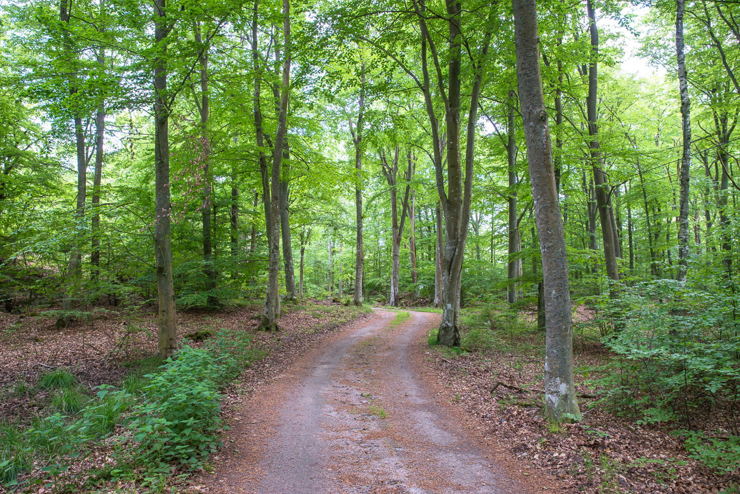
11,000 years ago the shoreline was 18 metres lower than it is today and remains from the Mesolithic period can be found on the sea bed here. Bunkers from the Second World War can be seen on the beach. The peninsula is largely covered with broadleaf woodland, with coastal meadows along the strip of shoreline.
Small skerries are bird protection areas with access prohibited from 1 April to 15 July each year.
The rules for the nature reserve are shown in the link below, but, for example, you are not allowed to pitch a tent, park a caravan, or moor or anchor a boat/vessel for more than 24 hours. You are only allowed to cycle or ride a horse on designated paths/bridleways.
Source: Blekinge County Administrative Board
Luonnonsuojelualue
The nature reserve is about 8 kilometres south of Bräkne-Hoby, on the Biskopsmåla peninsula. First go south towards Järnavik, then turn off towards Saxemara, take the turning towards Sonekulla, and pass the farm Biskopsmåla gård. Then turn left and a smaller gravel road leads out to the peninsula.
Source: Blekinge County Administrative Board
Länsstyrelsen Blekinge
![]()
Huomaa, että osa näistä teksteistä on käännetty automaattisesti.
Esitä kysymys muille Naturkartan-käyttäjille.
Inom Biosfärområde Blekinge Arkipelag hittar du 47 naturreservat som alla erbjuder olika, men lika fantastiska…
