ARK56 med kajak
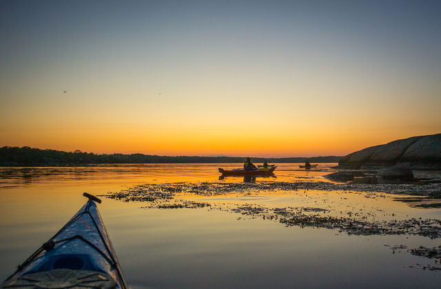
Att paddla genom Blekinges skärgård är ett av de bästa sätten att uppleva landskapet på…
Nav
Mörrum is one of ARK56’s hubs, the westernmost. The hubs are where different trails intersect, making them a good place to start or end your adventure – or to swap mode of transport and continue exploring the Blekinge Archipelago by bike, kayak, boat, ferry or on foot.
The river Mörrumsån’s waters are world-famous for salmon fishing, but you can still see the remains of the large-scale fishing industry that was run here in the past. Further north, the same watercourse is called Helge å, but it becomes Mörrumsån once it has passed the lake and Åsnen National Park.
The forest meets the sea here, and the area is perfect for walking and kayaking. If you follow the river to the sea, you reach Elleholm, the site of the historical town of Sjöborg. Today it is where the ARK56’s kayaking trail starts, or ends.
Where the river meets the sea, the Blekinge Archipelago and ARK56 spread out in front of you. Round the cape or headland, a unique environment awaits, shaped by nature, animals and people for thousands of years.
Here ARK56 and the Blekinge Archipelago are at your feet, and round the cape or headland, a unique environment awaits, shaped by nature, animals and people for thousands of years.
Blekinge Arkipelag Kurpromenaden 4 372 36 Ronneby
Team ARK56

Huomaa, että osa näistä teksteistä on käännetty automaattisesti.
Esitä kysymys muille Naturkartan-käyttäjille.