Segla ARK56
Huvudleden i ARK56 segelled tar dig igenom hela Blekinges skärgård från Karlshamn till Kristianopel. Den…
Nav
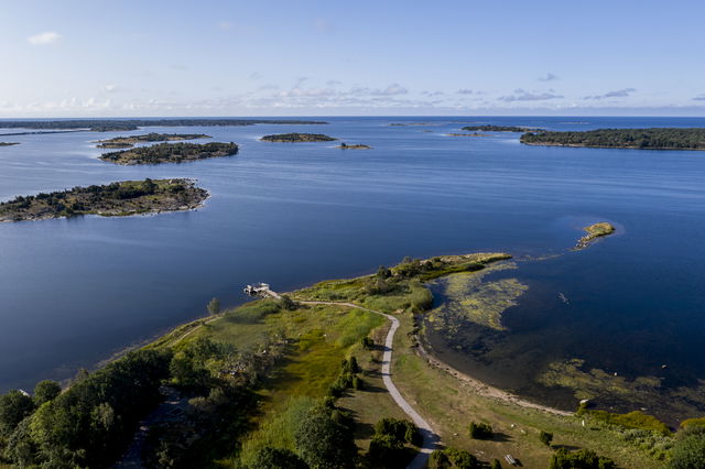
The little island of Stenshamn rises only 2 metres above the sea and half of it disappears at high water. Stenshamn is connected, via an embankment built by the armed forces, to Utlängan, the “farming island” among all the fishing islands.
Explore the two islands on foot or by bike. Climb up the observation tower on Utlängan and enjoy the view, look for seals along the eastern shore of the island and visit the lighthouse, where you can look across to the most south-easterly island in Sweden, Utklippan.
ARK56 and the Blekinge Archipelago spread out in front of you. Round the cape or headland, a unique environment awaits, shaped by nature, animals and people for thousands of years.
Blekinge Arkipelag Kurpromenaden 4 372 36 Ronneby
Team ARK56

Huomaa, että osa näistä teksteistä on käännetty automaattisesti.
Esitä kysymys muille Naturkartan-käyttäjille.