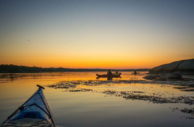
ARK56 med kajak
ARK56 tar dig genom hela Blekinge Arkipelag. Mellan skär, runt öar och uddar glider du…


Nav
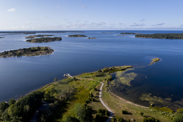
Torhamn is one of ARK56’s hubs. The hubs are where different trails intersect, making them a good place to start or end your adventure – or to swap mode of transport and continue exploring the Blekinge Archipelago by bike, kayak, boat, ferry or on foot.
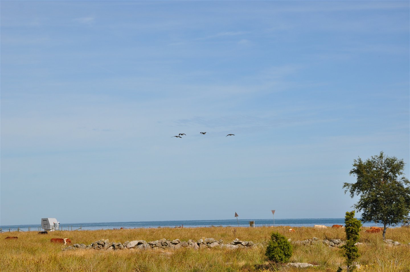
Torhamn is almost as south-east as you can go on the Swedish mainland. Walk in the charming, bare heath landscape of the headland or travel further out among the islands by boat. The area offers excellent opportunities for windsurfing or kitesurfing.
The easiest of the islands to reach is Ytterön-Hästholmen, with its important small-scale agricultural heritage and its peaceful sandy coves. Further out, you reach the “pilot island” of Långören, the fishing islands, the “farming island” of Utlängan, and little Stenshamn, half of which disappears under the sea at high water.
Here ARK56 and the Blekinge Archipelago are at your feet, and round the cape or headland, a unique environment awaits, shaped by nature, animals and people for thousands of years.
Nav
Blekinge Arkipelag Kurpromenaden 4 372 36 Ronneby
Team ARK56
![]()
Esitä kysymys muille Naturkartan-käyttäjille.
ARK56 tar dig genom hela Blekinge Arkipelag. Mellan skär, runt öar och uddar glider du…
Huvudleden i ARK56 segelled tar dig igenom hela Blekinges skärgård från Karlshamn till Kristianopel. Den…
Vår vision är att Biosfärområde Blekinge Arkipelag blir en hållbar destination för natur- och kulturturism.…
