


47 naturreservat i Biosfärområde Blekinge Arkipelag
Inom Biosfärområde Blekinge Arkipelag hittar du 47 naturreservat som alla erbjuder olika, men lika fantastiska…


Luonnonsuojelualue
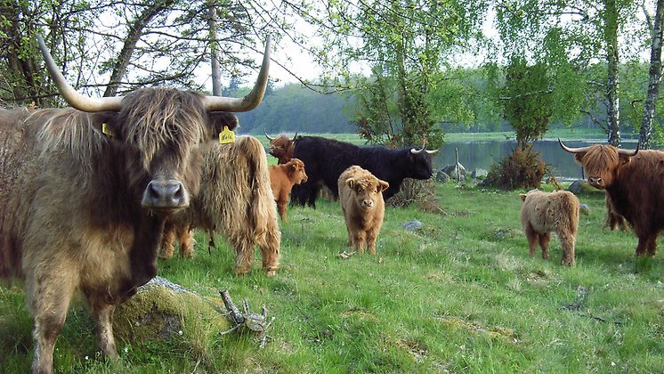
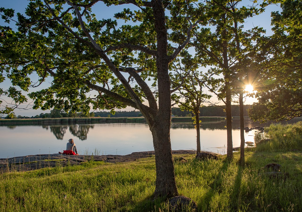
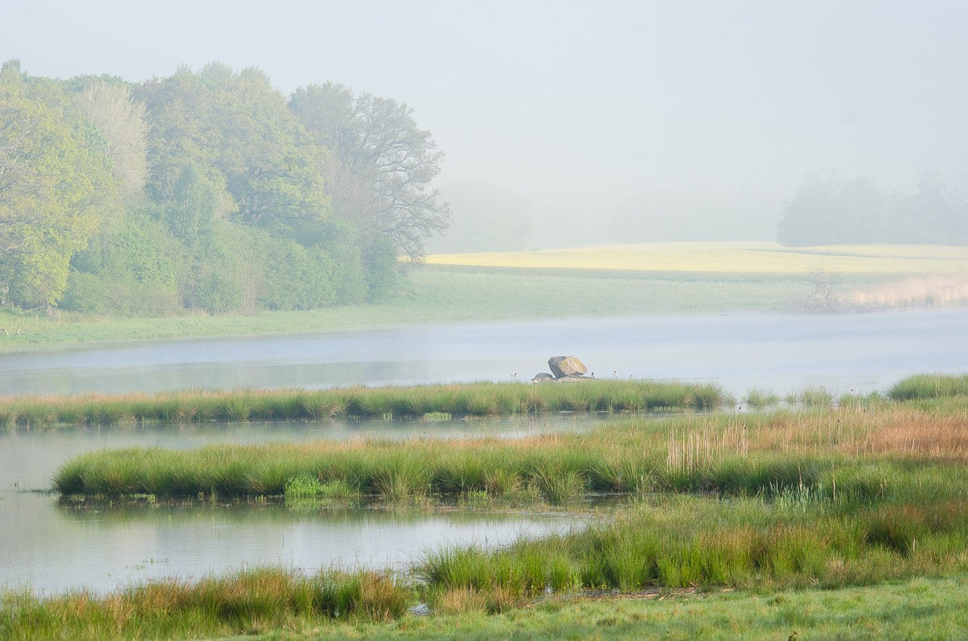
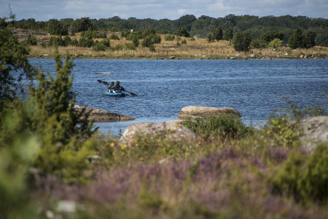
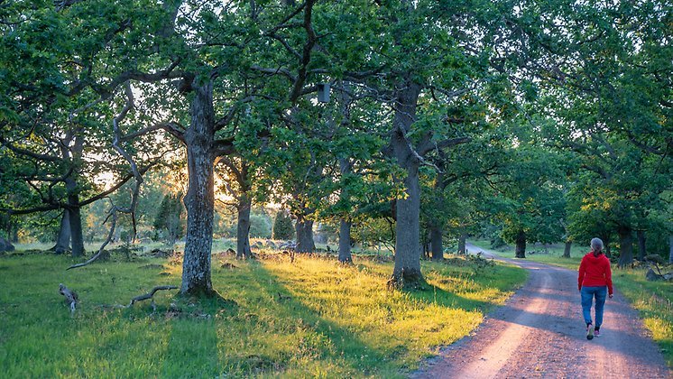
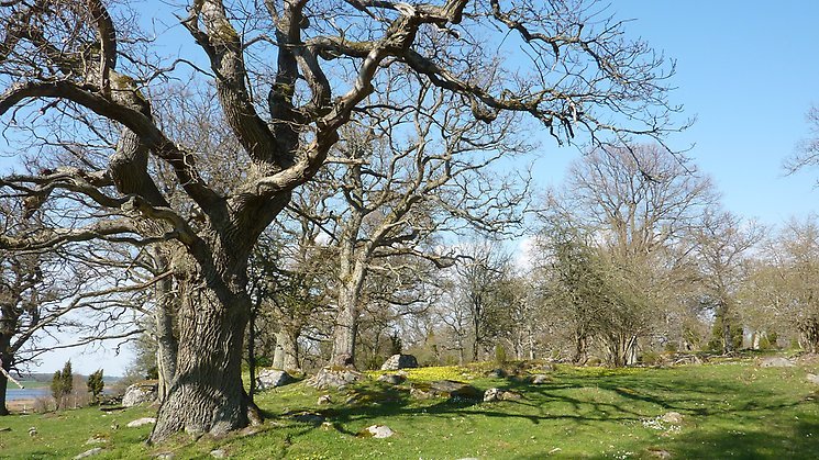
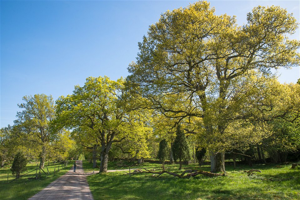
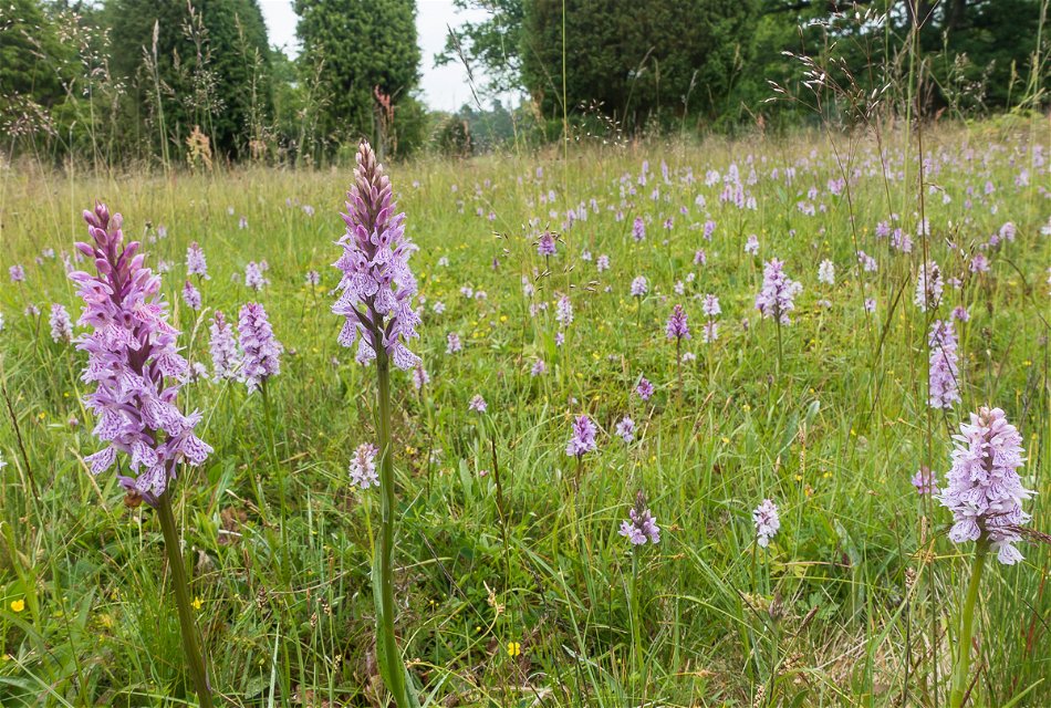
Perfect for walkers, Vambåsa hagmarker nature reserve nestles in an attractive manor house landscape. The valuable pastures are rich in flora and fauna. There are also many ancient monuments. The grave field at Hjortahammar is the best known.
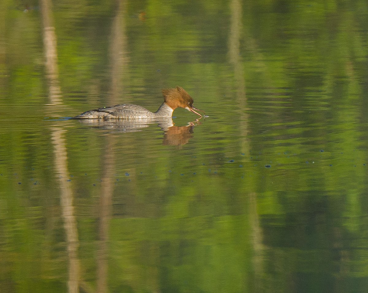
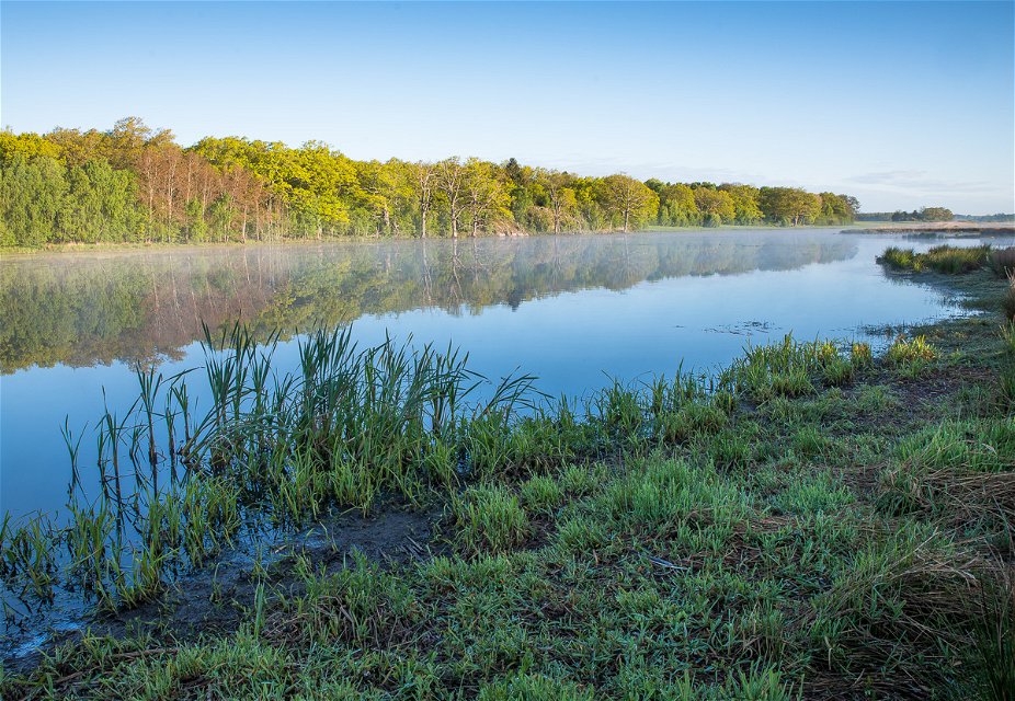
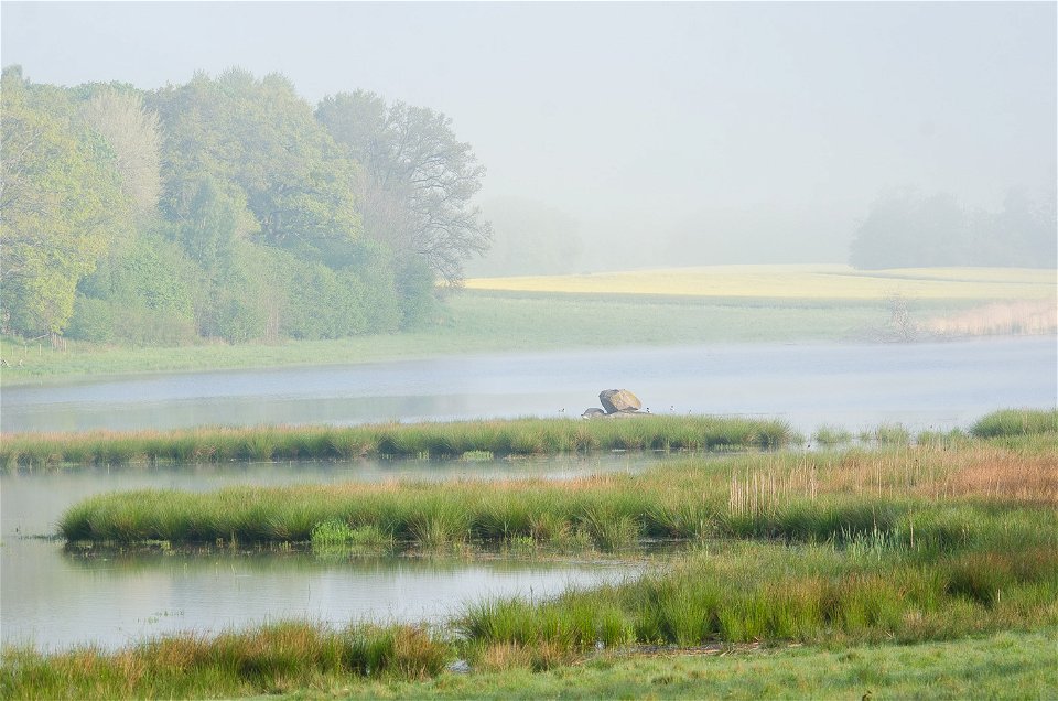
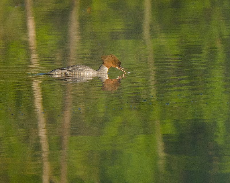
Vambåsa hagmarker consists of two separate areas. One is between the E22 and Stora Vambåsa gård. The other is further south on the coast, bordering the road over to Almö. There is a birdwatching tower in the southern area from which birds can be seen on the nearby wetlands.
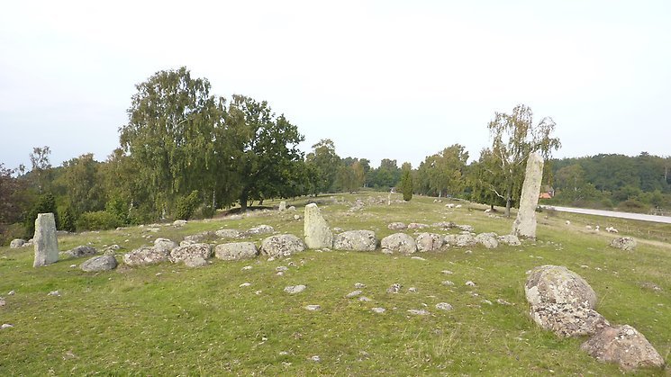
Furthest to the south is Hjortahammar grave field, one of the biggest sites of ancient monuments in Blekinge. There are 120 visible prehistoric graves here comprising mounds, stone circles, tri-radial cairns, stone ships and raised stones. The grave field is very visible and prominent in the landscape along an esker.
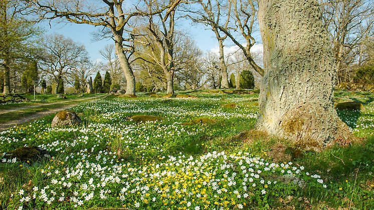
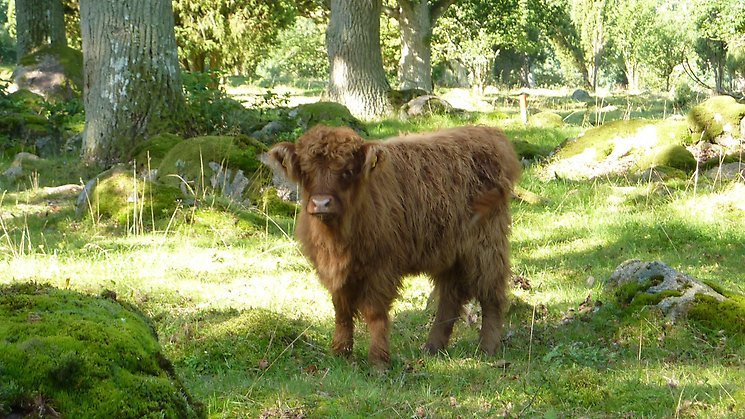
In early summer the meadows in the nature reserve are filled with flowers, including several orchids. Much of the nature reserve is grazed and the rich flora and fauna is linked to this grazing tradition.
The rules for the nature reserve are shown in the link below, but, for example, you are not allowed to pitch a tent or park a caravan, light a fire, let a dog off the lead, or drive a motor vehicle other than on roads where this is permitted.
Source: Wikipedia
Luonnonsuojelualue
 Nära kollektivtrafik
Skyddsår: 1982
Kommun: Ronneby
Karaktär: Hagmark
Areal: 91 hektar, varav cirka 80 hektar land och 11 hektar vatten
Markägare: Privat
Förvaltare: Länsstyrelsen Blekinge
Skyddsform: Naturreservat och Natura 2000
Turn south at the Hasslö roundabout on the E22 between Karlskrona and Ronneby.
Du är välkommen att besöka Vambåsa hagmarkere, men tänk på att det inte är tillåtet att
Länsstyrelsen Blekinge
![]()
Esitä kysymys muille Naturkartan-käyttäjille.
Inom Biosfärområde Blekinge Arkipelag hittar du 47 naturreservat som alla erbjuder olika, men lika fantastiska…
