


Blåmarkerad vandringsled
Vaellusreitit
- Kunta: Blekinge län
- 6391.75 km päässä sinusta
Polun yksityiskohdat
- Pituus 7.2 km
Toiminnot
Kuvaus
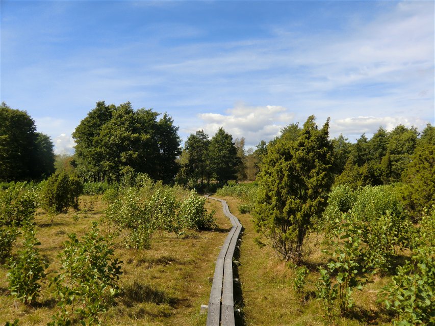
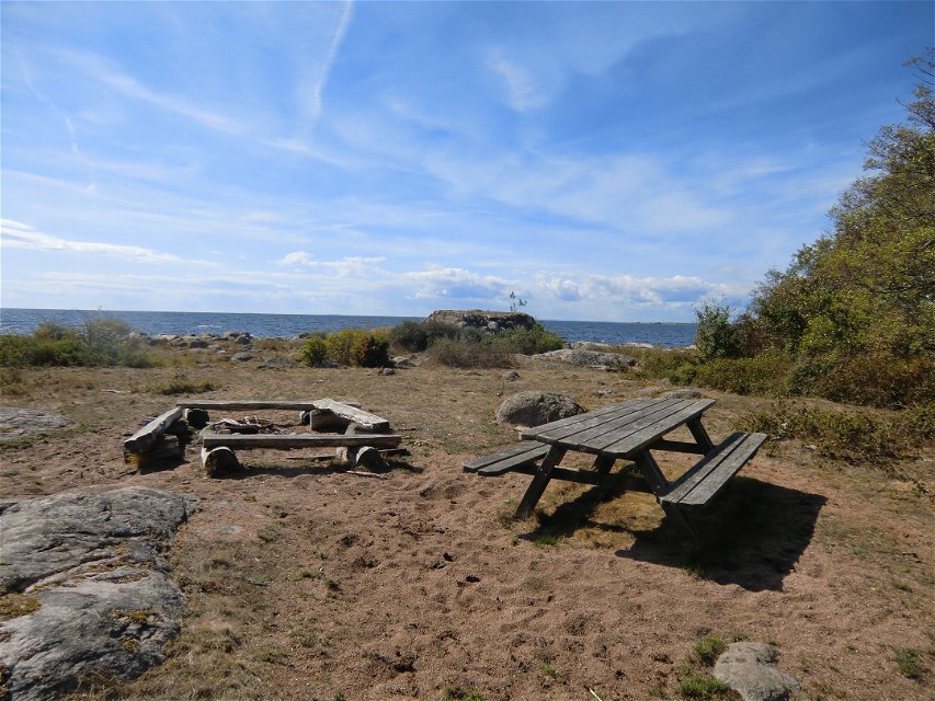
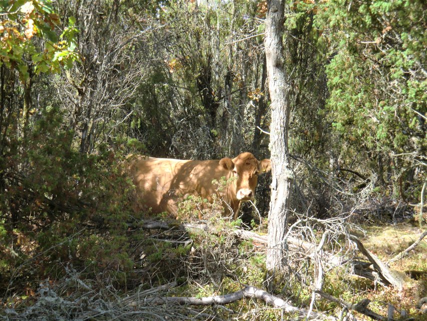
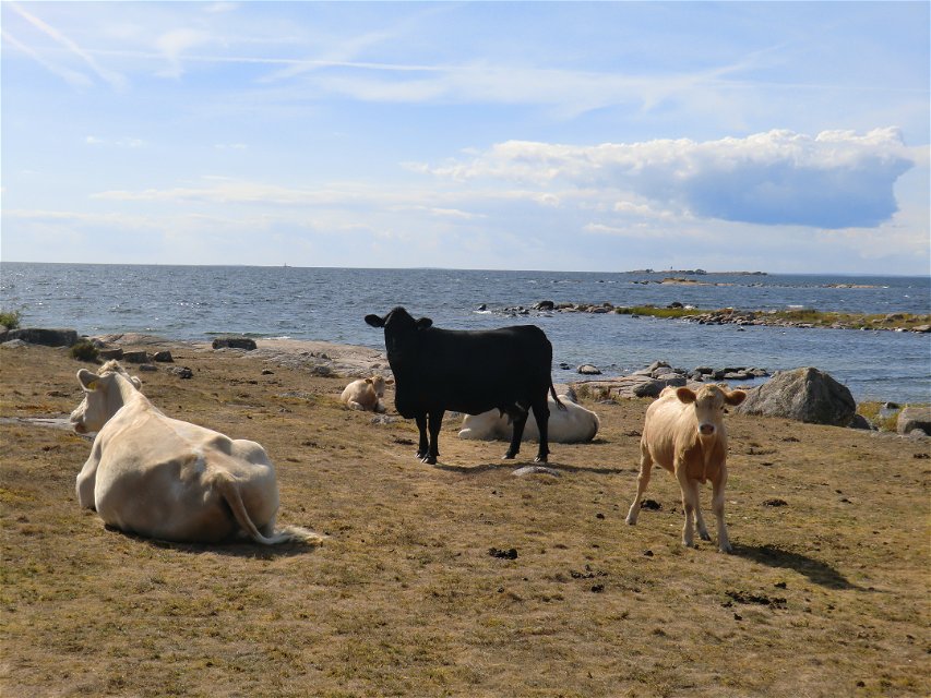
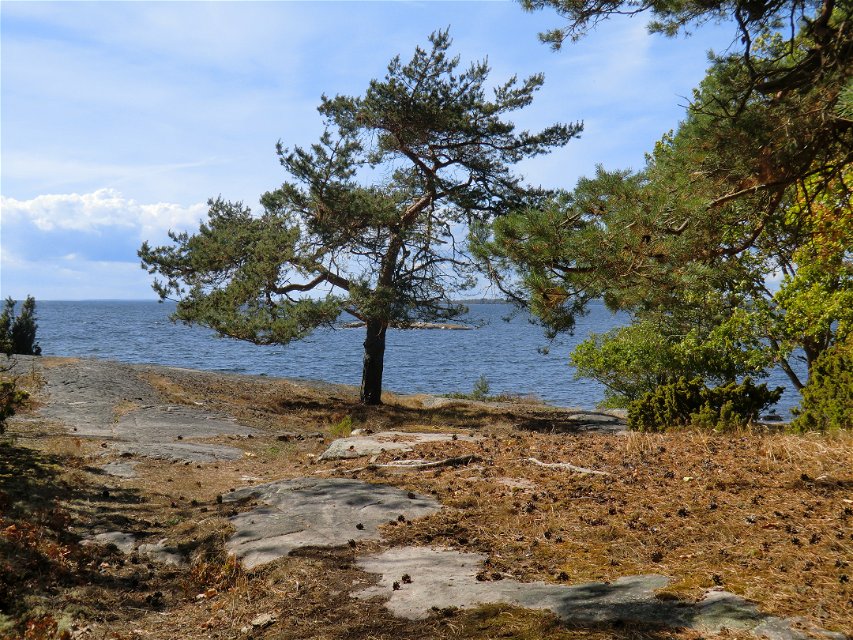
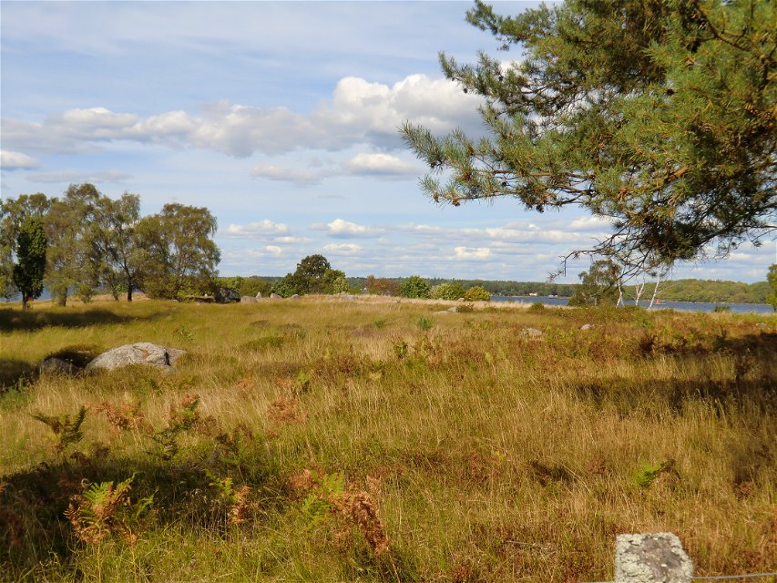
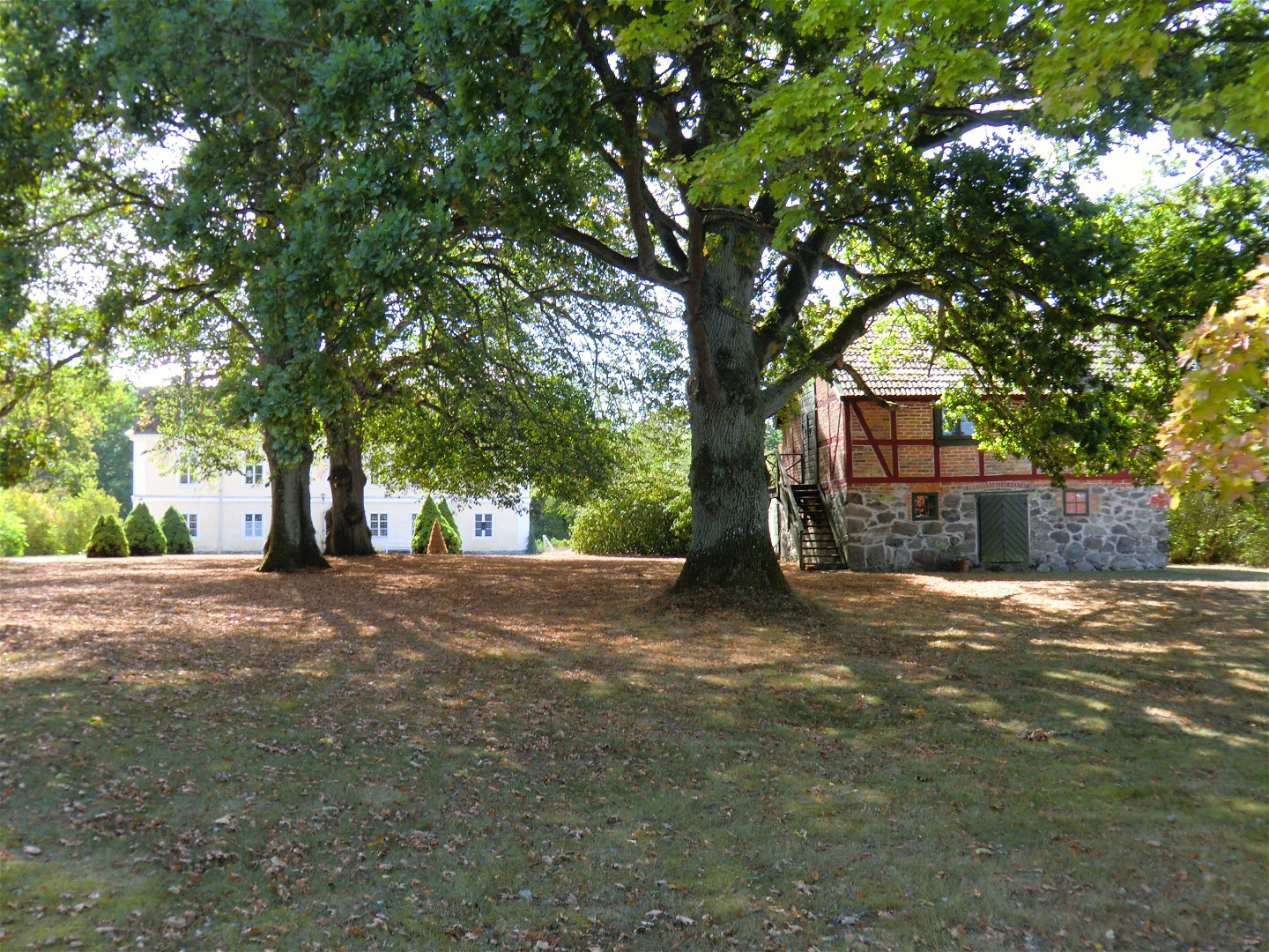
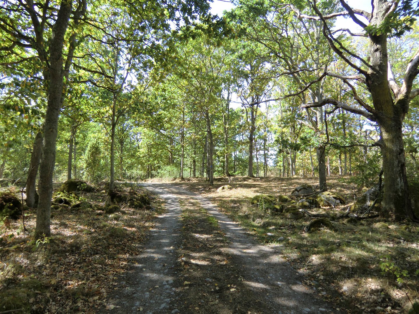
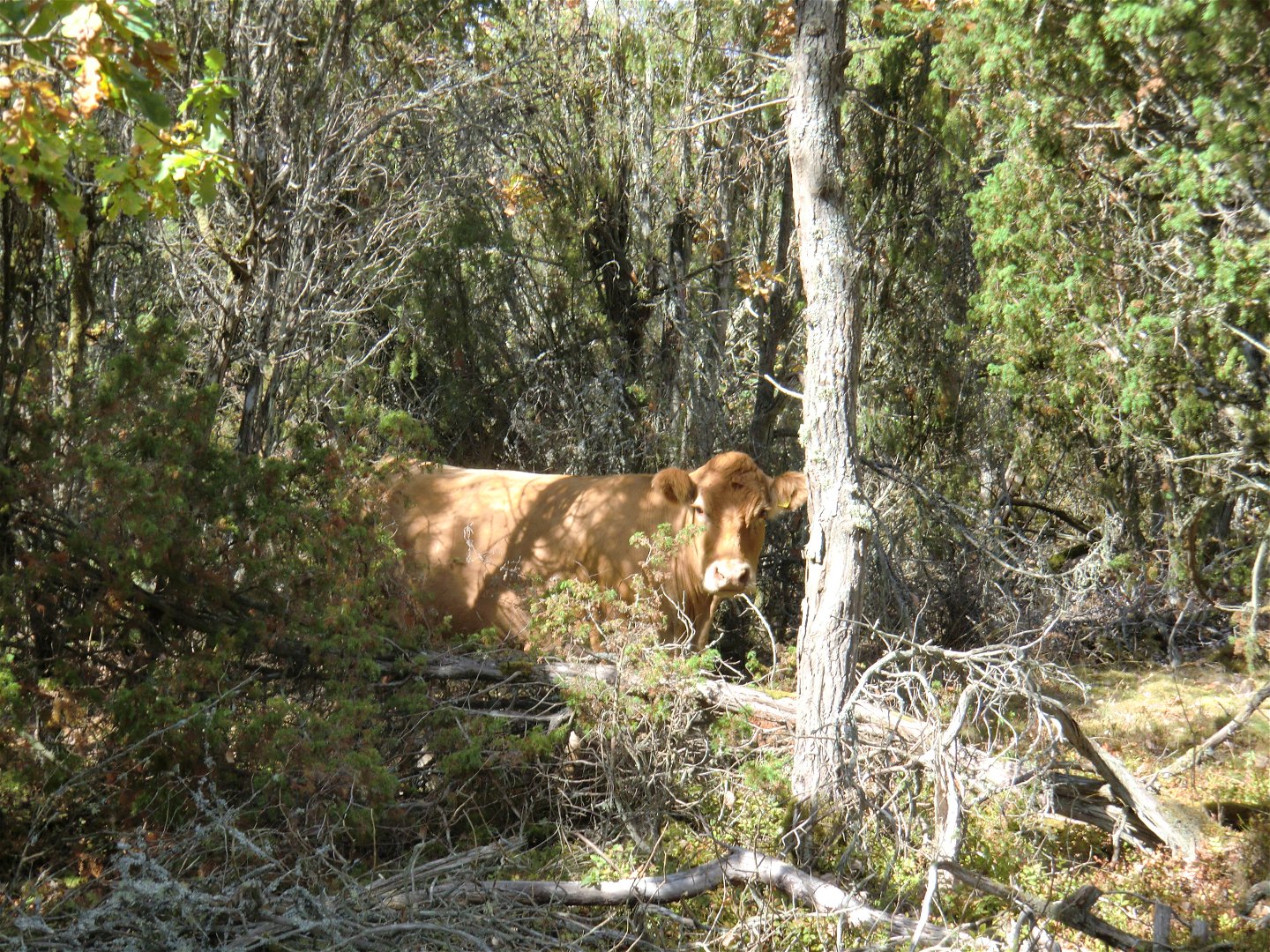
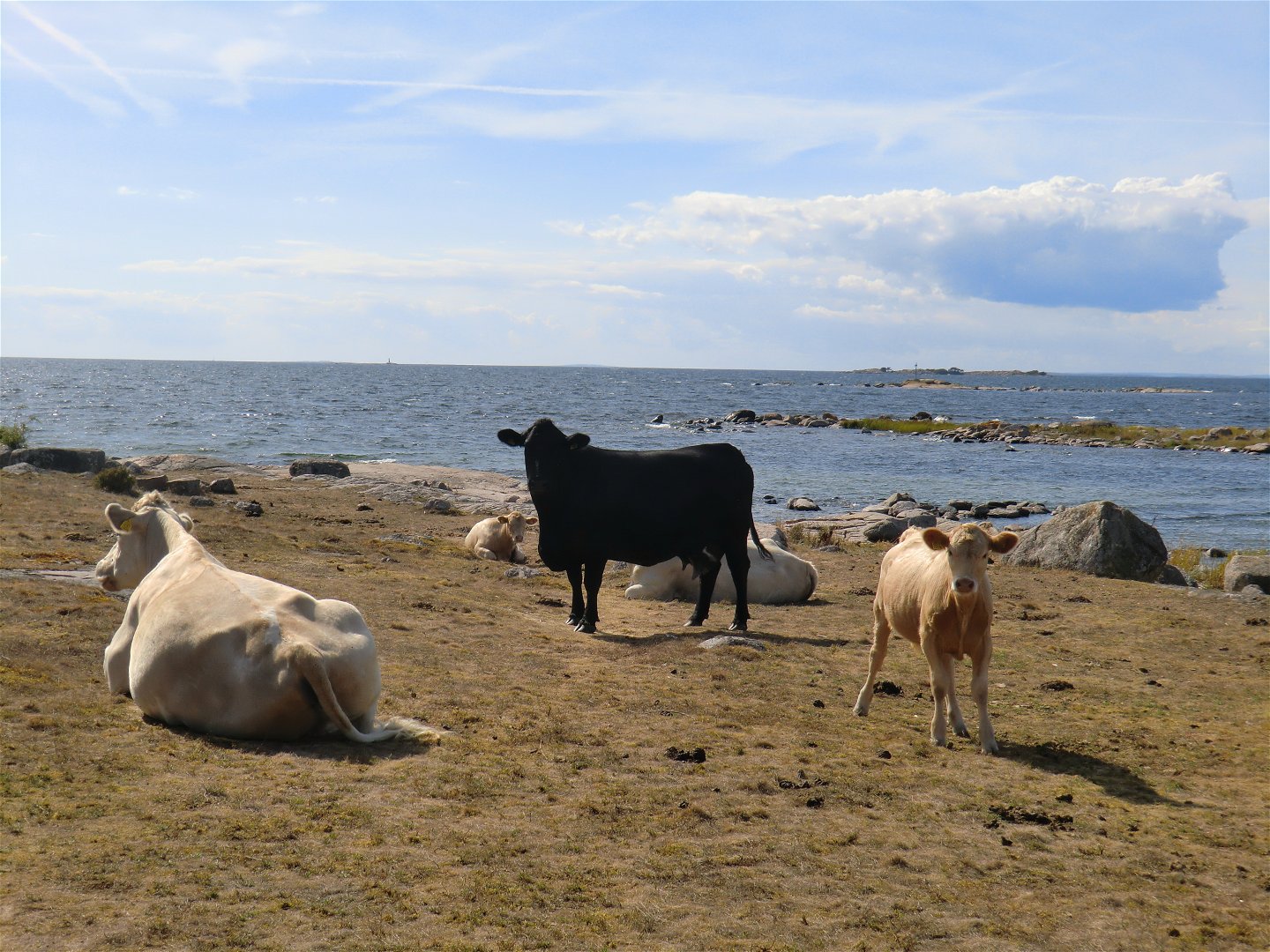
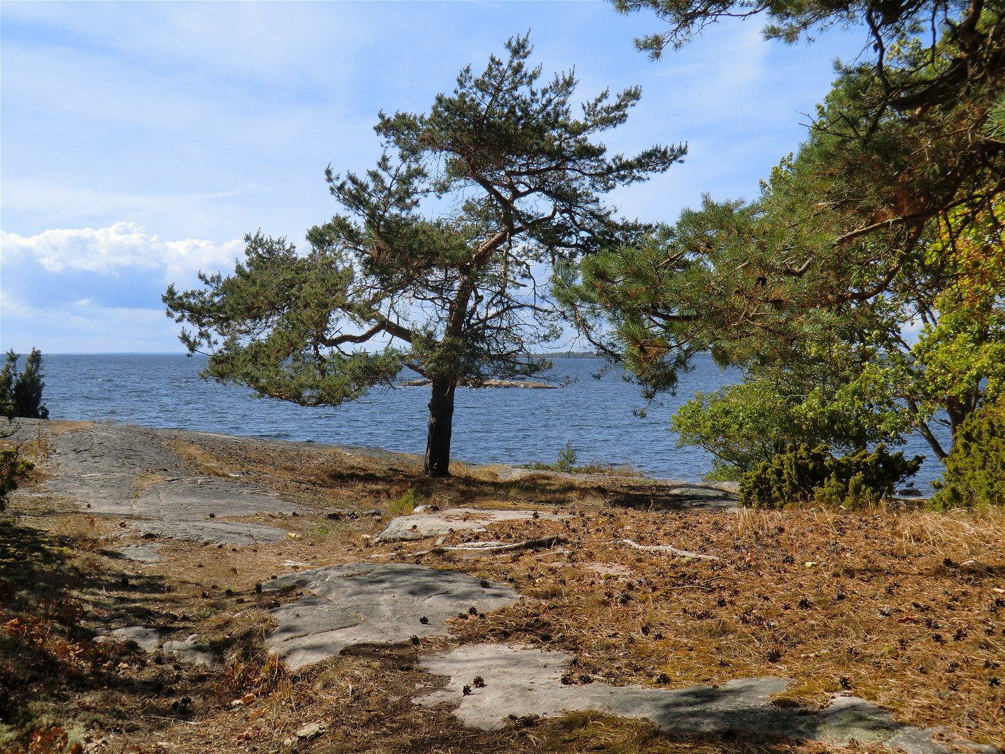
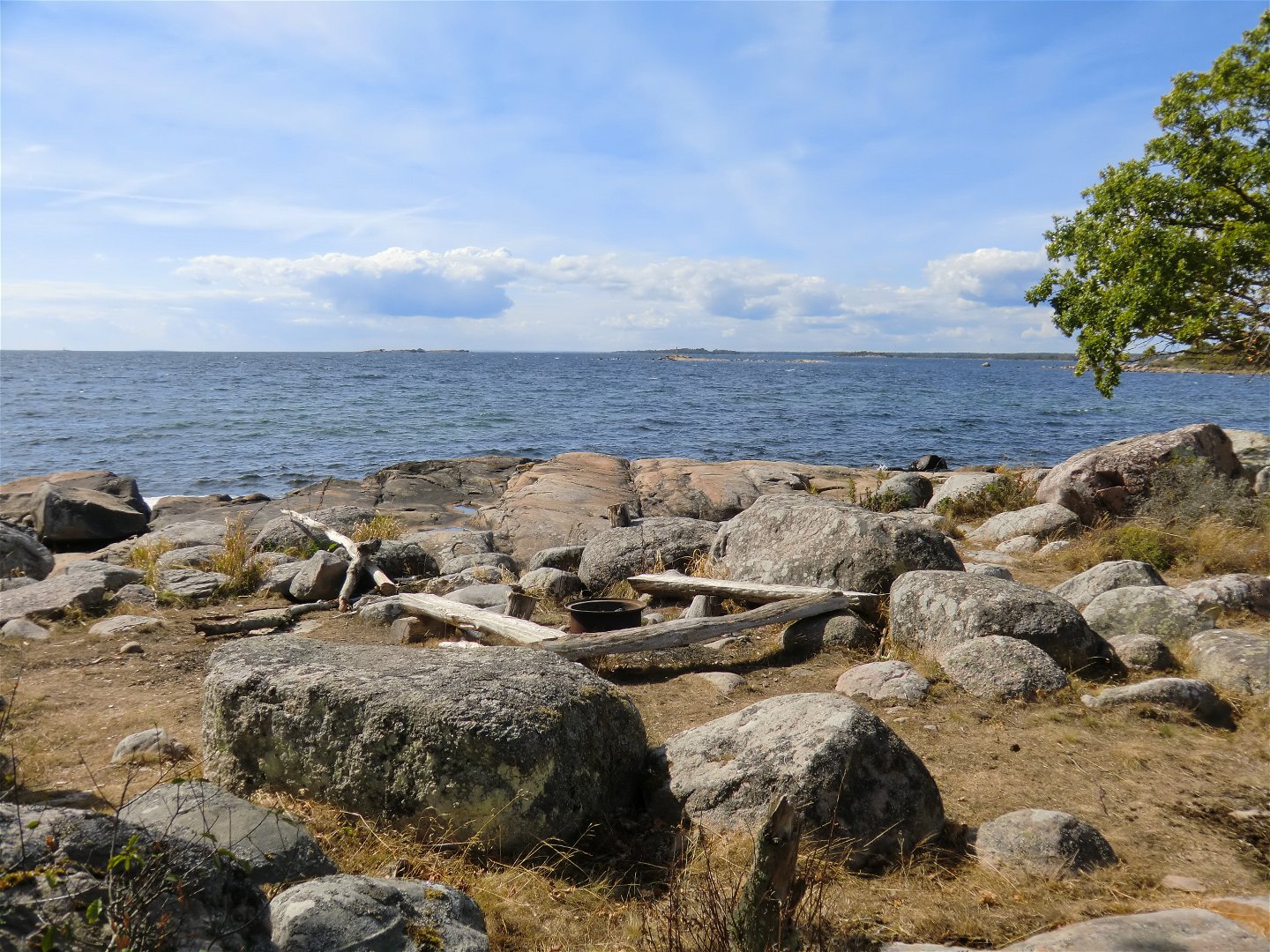
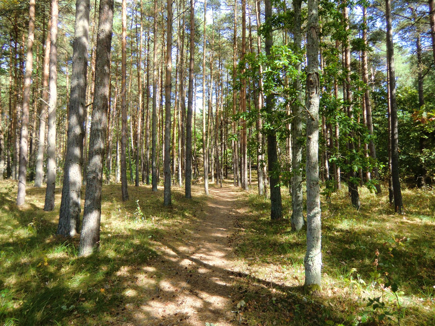
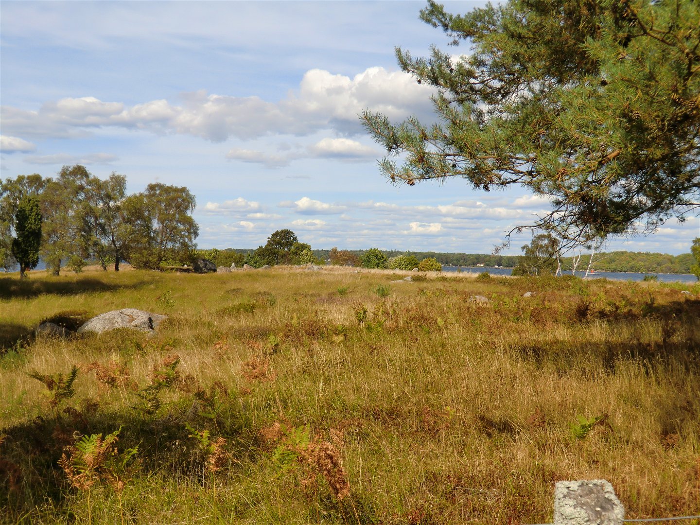
A walk through a beautiful coastal landscape, in the summer accompanied by grazing cows. Wander through broadleaf woodland in the south, along the coast in the west and through pine woods in the north. Picnic and barbecue spots along the route (see map).
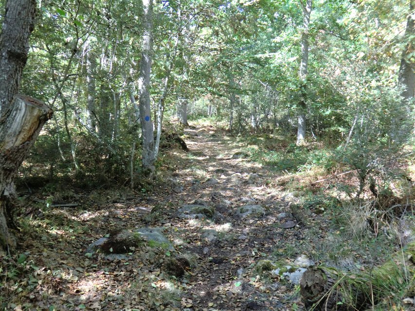
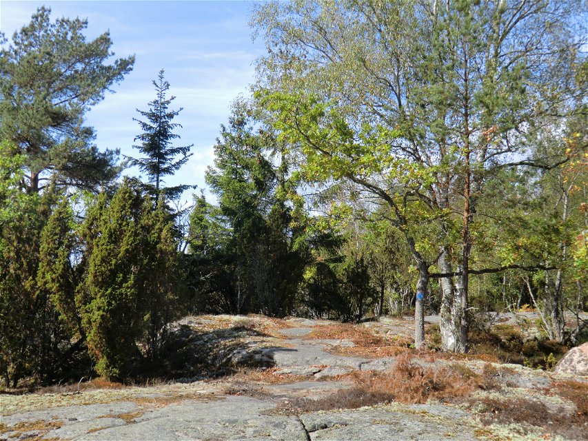
The route is marked in blue on posts and trees all the way, apart from where it follows the road. Follow the orange marks on posts and trees from Gökalv beach to Gravfältet (the north-west part of the trail).
Toimintaa ja tilat
-
Vaellusreitit
Pinta
Southern marked section along forest road. The rest of the marked section path through the forest. South-eastern part along paved road.
Ota yhteyttä
Osoite
Blekinge Arkipelag
Kurpromenaden 4
372 36 Ronneby
Sähköpostiosoite
Team ARK56
Organisaation logotyyppi
![]()
Huomaa, että osa näistä teksteistä on käännetty automaattisesti.
Kysymykset & vastaukset (Q&A)
Esitä kysymys muille Naturkartan-käyttäjille.
