


Vandring längs ARK56 i Blekinge - upptäck enastående naturskatter och dig själv
Oavsett om du är hardcore-hiker och vill vandra i en vecka, eller om du vill…


Vaellusreitit
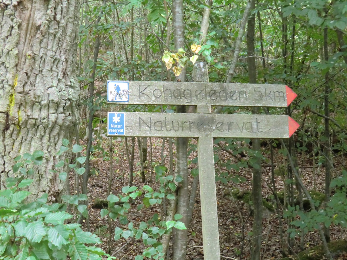
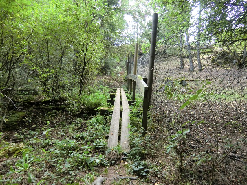
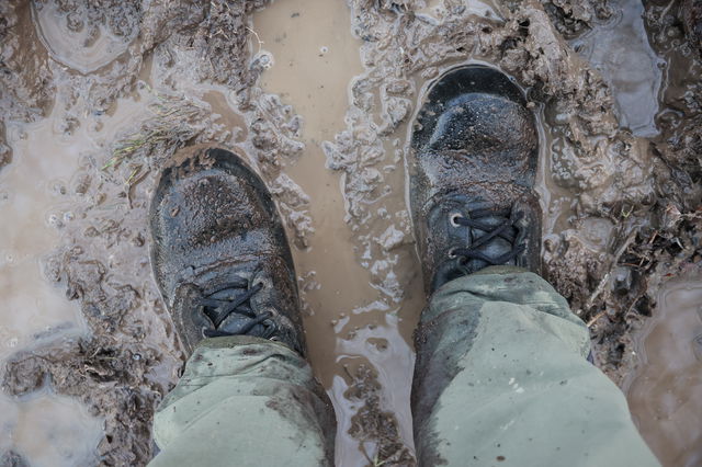
NOTE: It is very wet and muddy along the Koha Trail right now! Sturdy boots are recommended. Keep in mind that the last part of the hiking trail leading out to the bridges out to Dragsö is not yet constructed. It is expected to be completed in spring 2025. The same applies to the trail out on Dragsö. It is possible to hike but keep in mind that it can be more or less rugged terrain to get through.
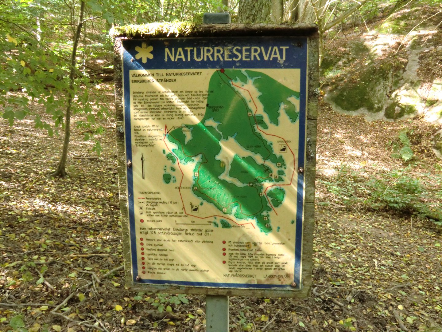
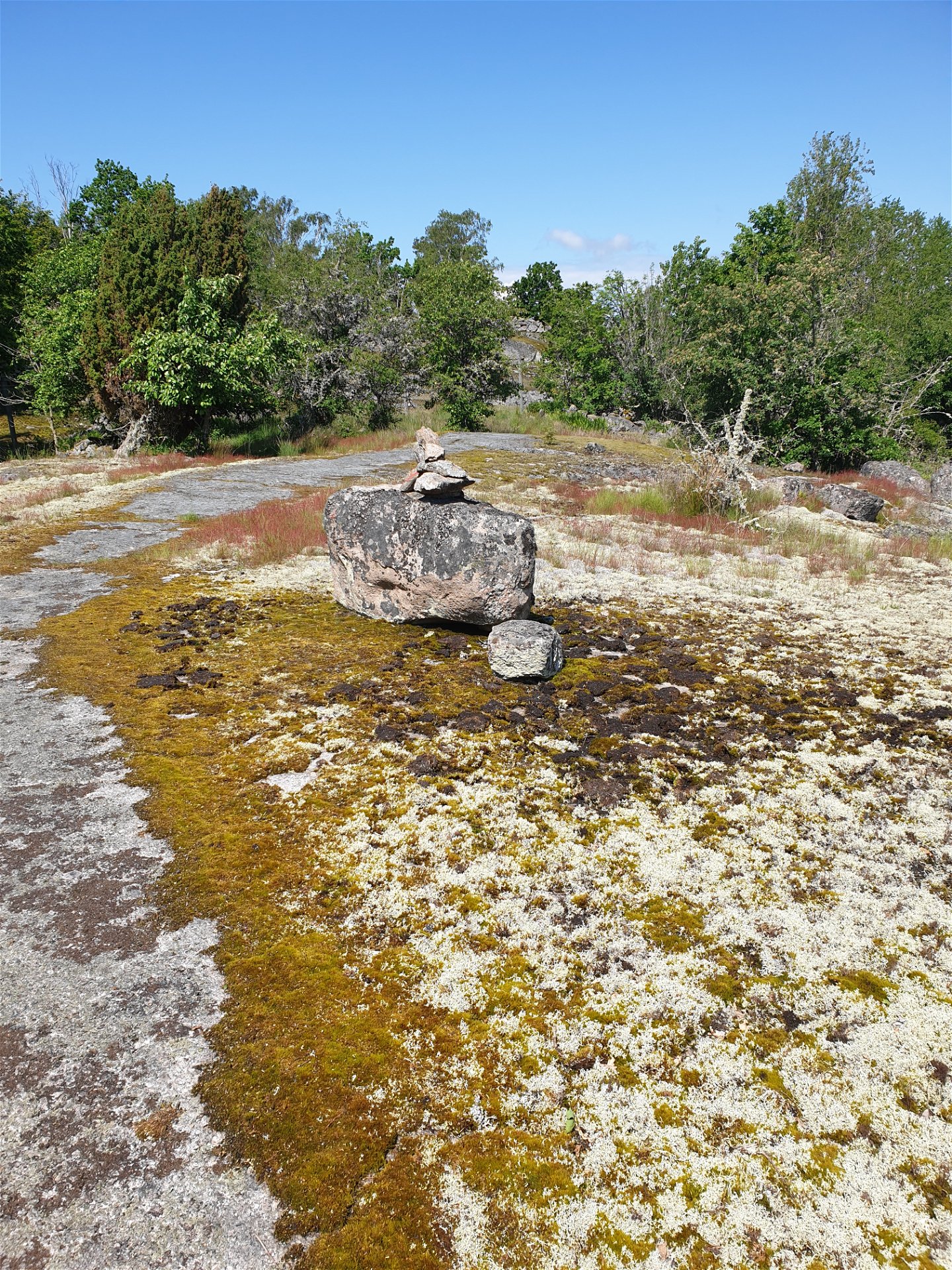
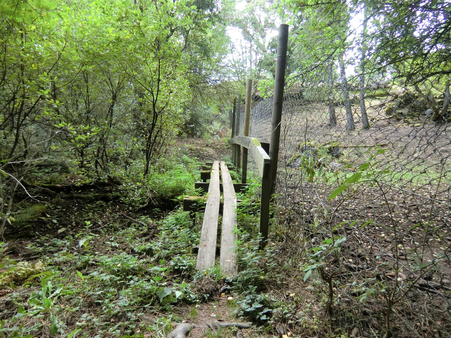
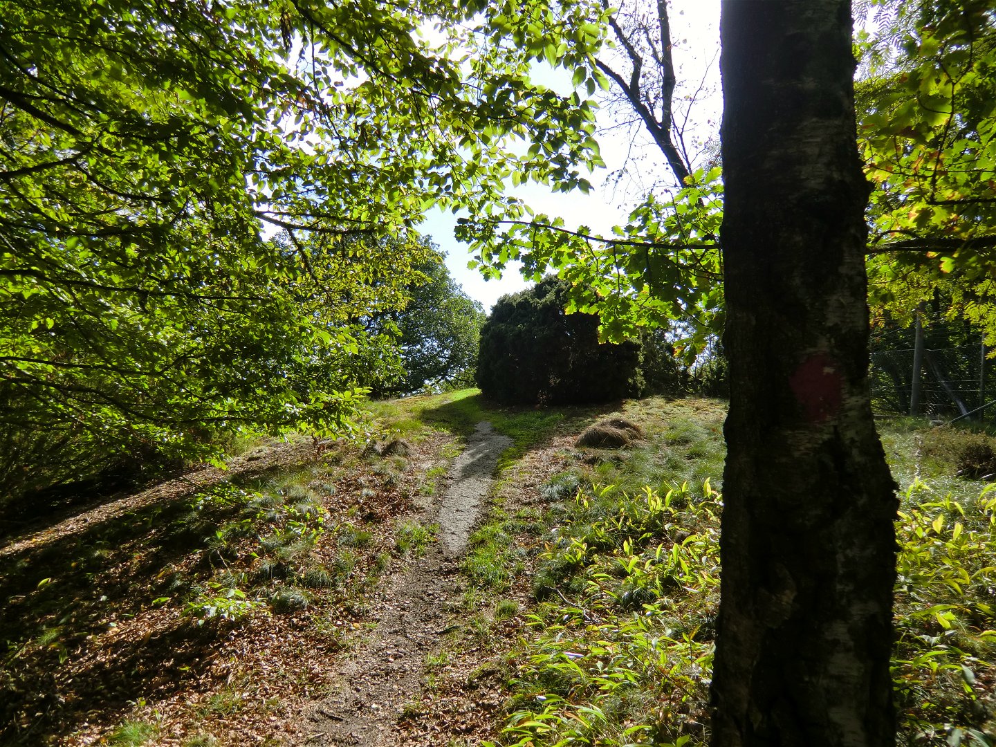
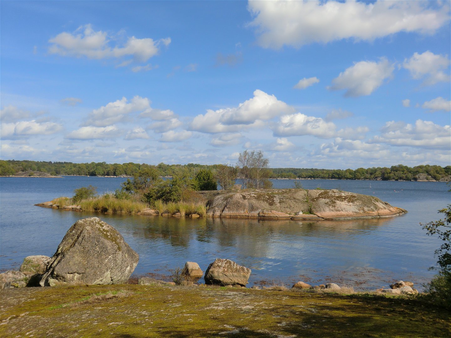
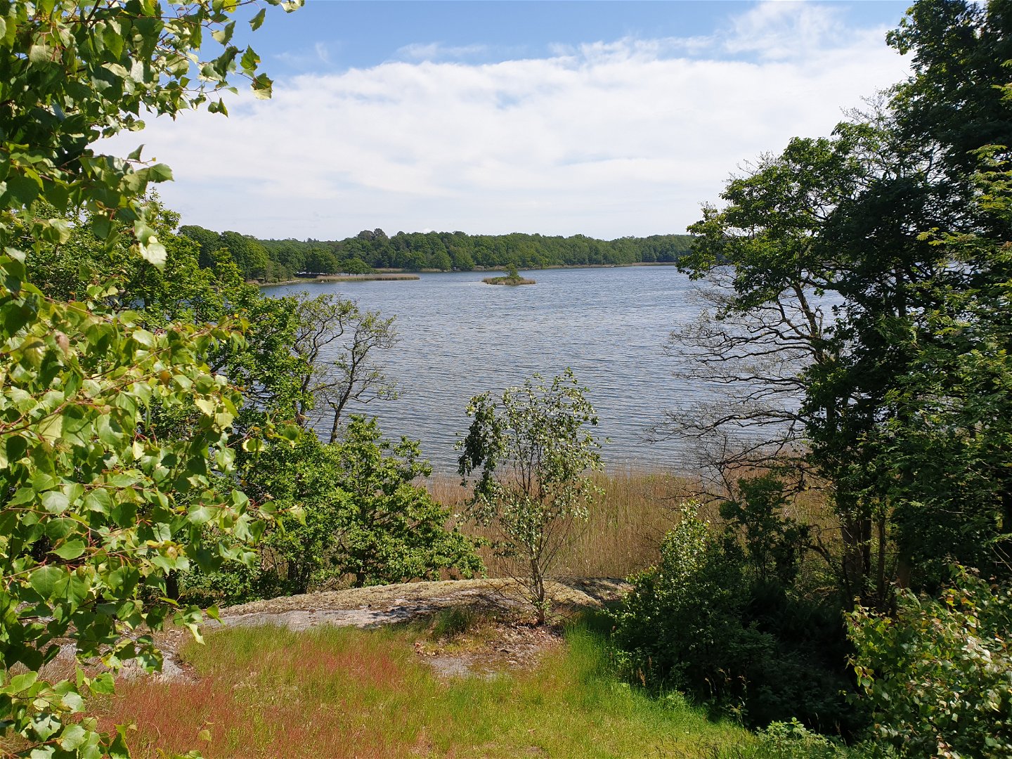
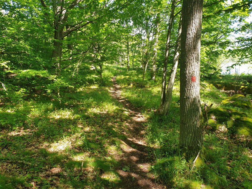
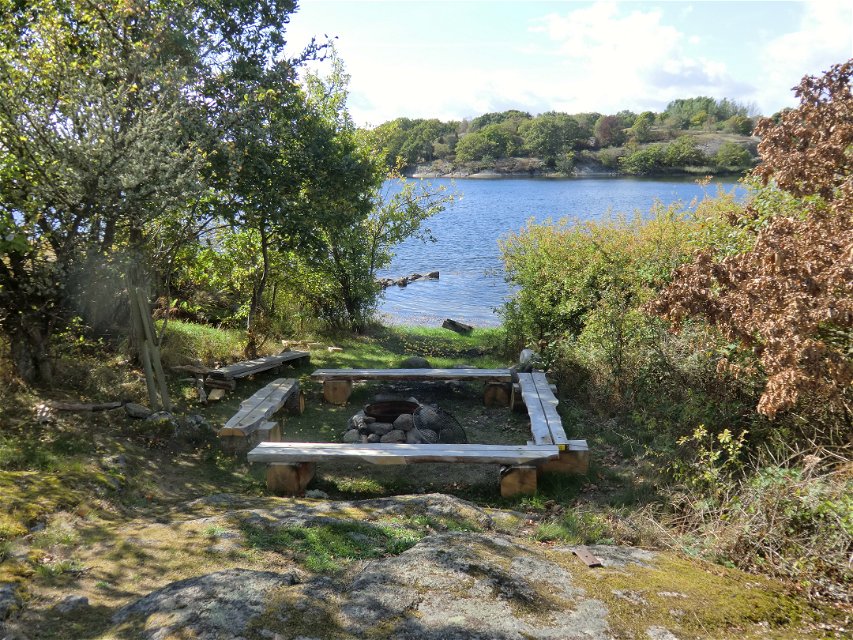
A route with beautiful views from the top of the cliffs near Eriksberg wildlife park. The trail runs along the coast through oak woods and beechwoods with a lot of juniper on the rocks. Sea views in places. Because the path runs alongside the fence of the wildlife park, with a bit of luck you might catch sight of some of the animals. The trail is marked in orange on posts and trees.
Vaellusreitit
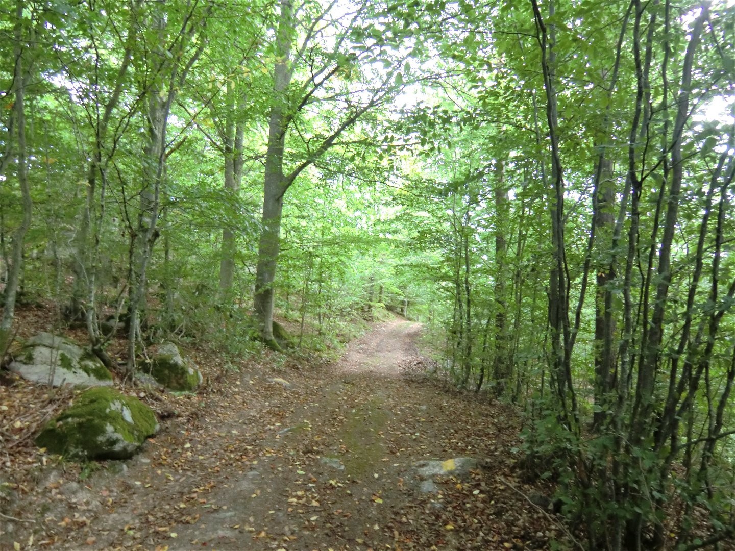
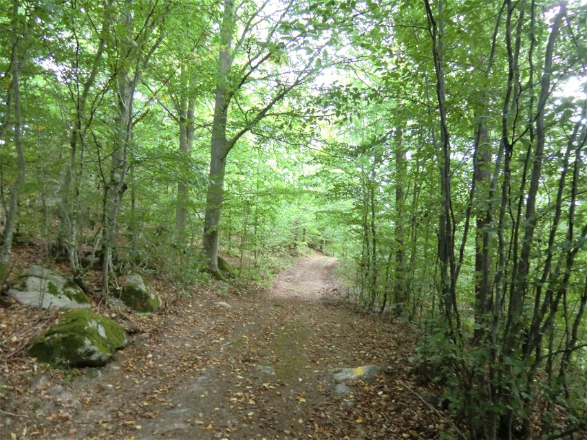
Not handicapped accessible. Narrow footbridges and some really steep sections. Narrow path along the coast through forest. In some places quite hilly. Gravel and forest road along the north on Kohageleden.
Länsstyrelsen Blekinge
![]()
Huomaa, että osa näistä teksteistä on käännetty automaattisesti.
Esitä kysymys muille Naturkartan-käyttäjille.
Oavsett om du är hardcore-hiker och vill vandra i en vecka, eller om du vill…
