Grangärde - Salå, Romboleden Etapp 9
Pyhiinvaellusreitti
- Kunta: Dalarnas län
- 6823.76 km päässä sinusta
Polun yksityiskohdat
- Pituus 20.7 km
- Aika 7 h
- Vaikeuksia Vihreä - yksinkertainen
Toiminnot
Kuvaus
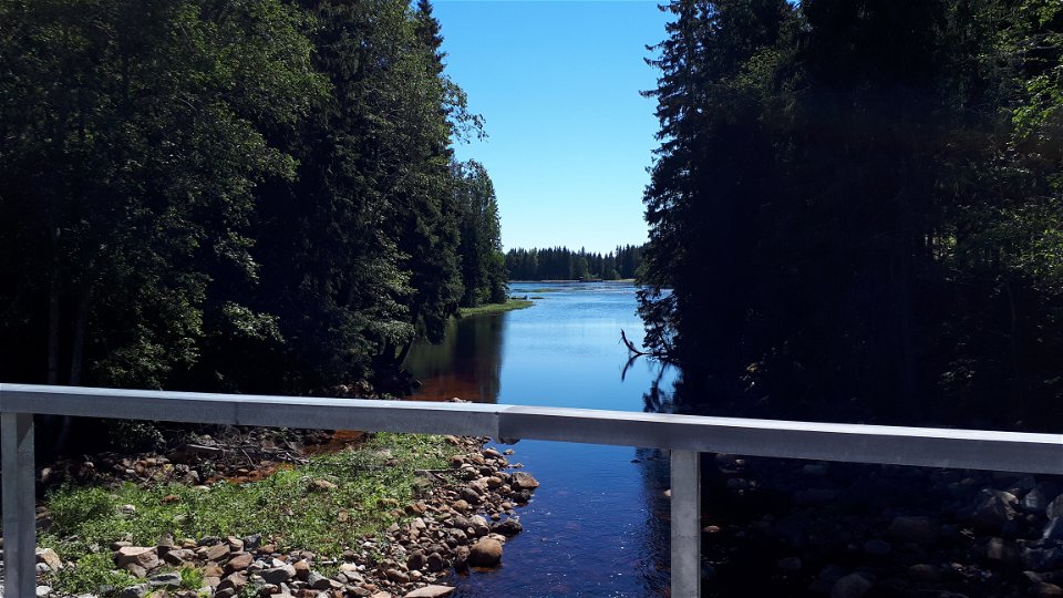
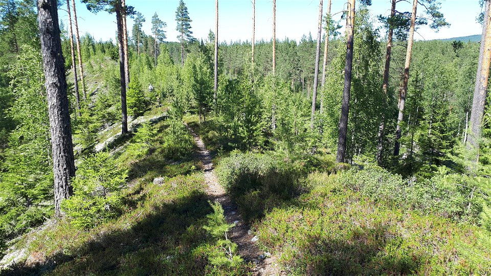
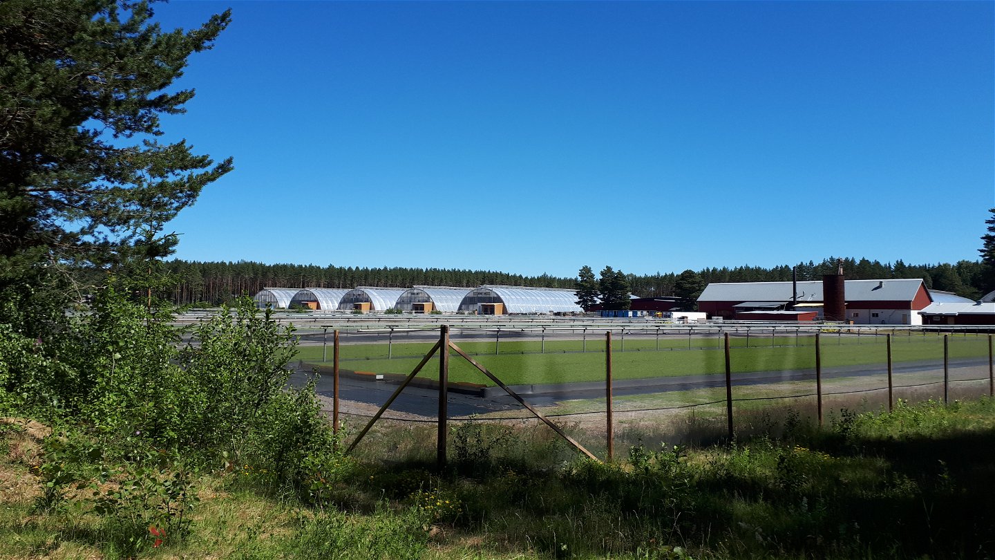
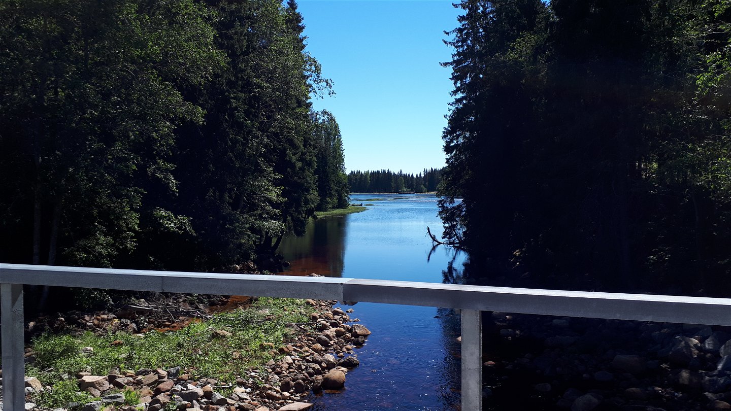
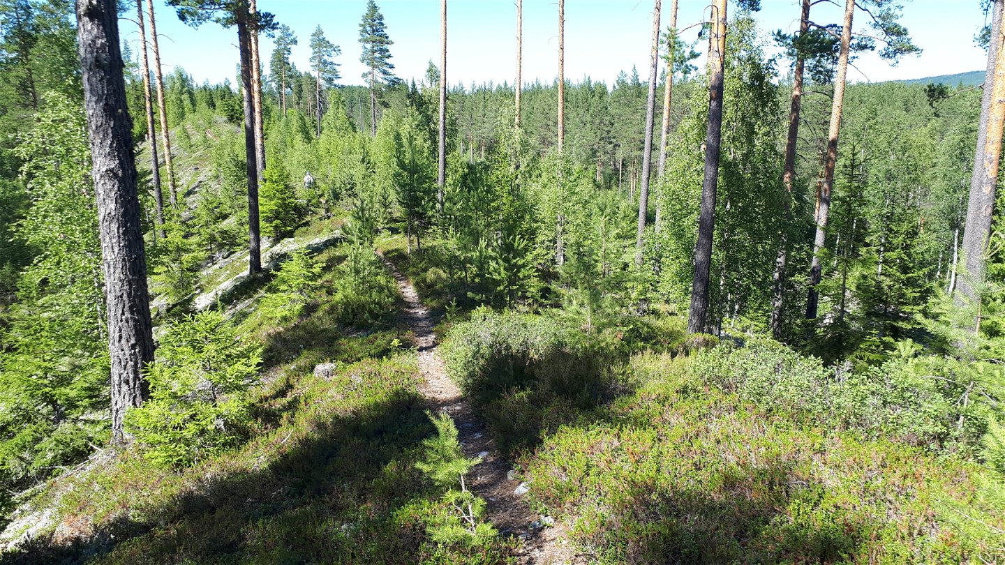
This is a walk that more or less follows the waterways through the landscape, following streams and narrow lakes. You walk long stretches on the sand and moraine ridge formed here during the last ice age. By the lakes Stora and Lilla Malingen you walk on the old railway embankment instead. The lakes were also affected by the ice age. They are the remains of the inland sea that lay here several thousand years ago – the predecessor of the Baltic Sea.
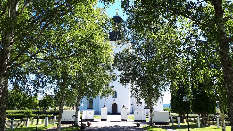
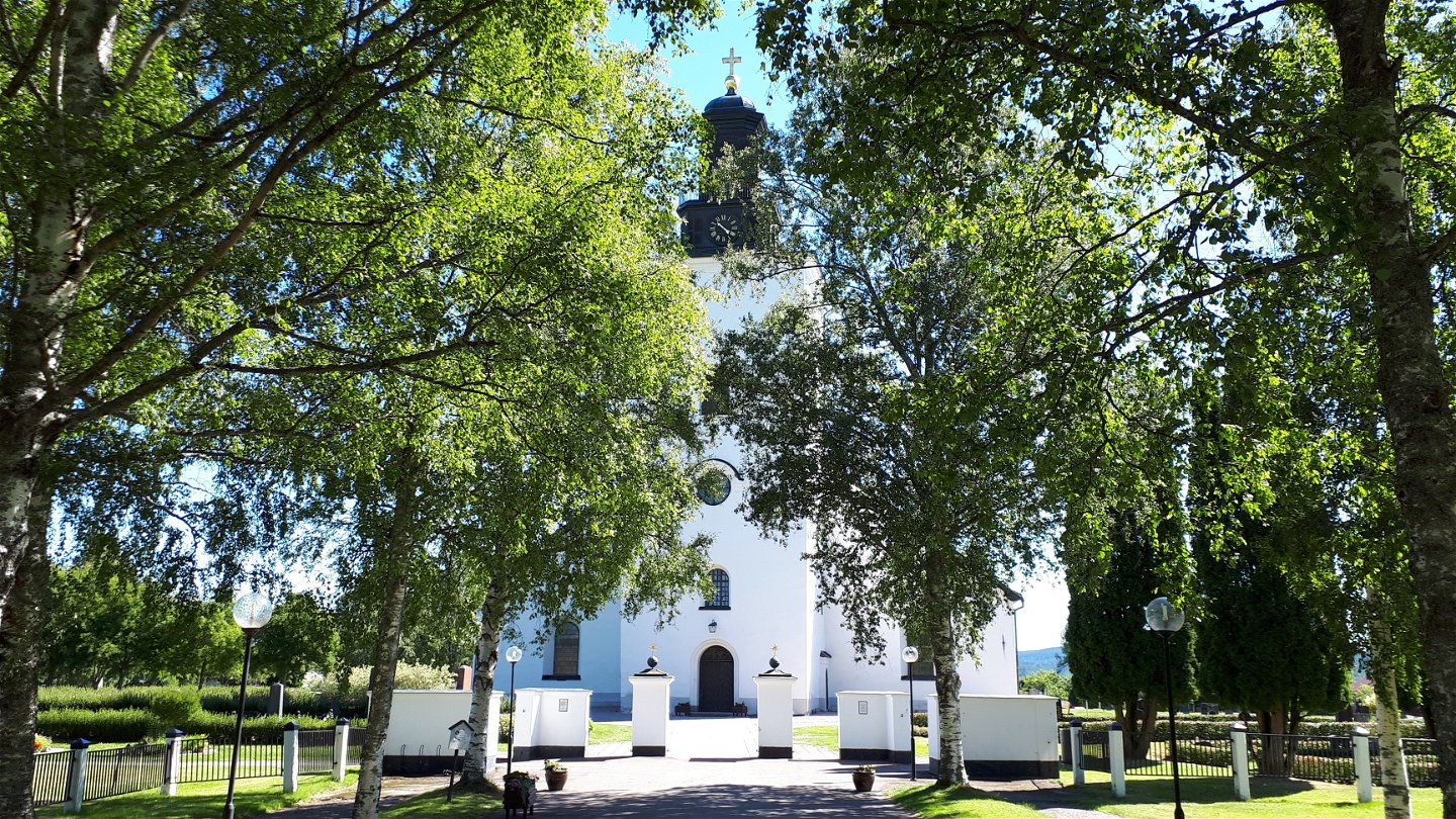
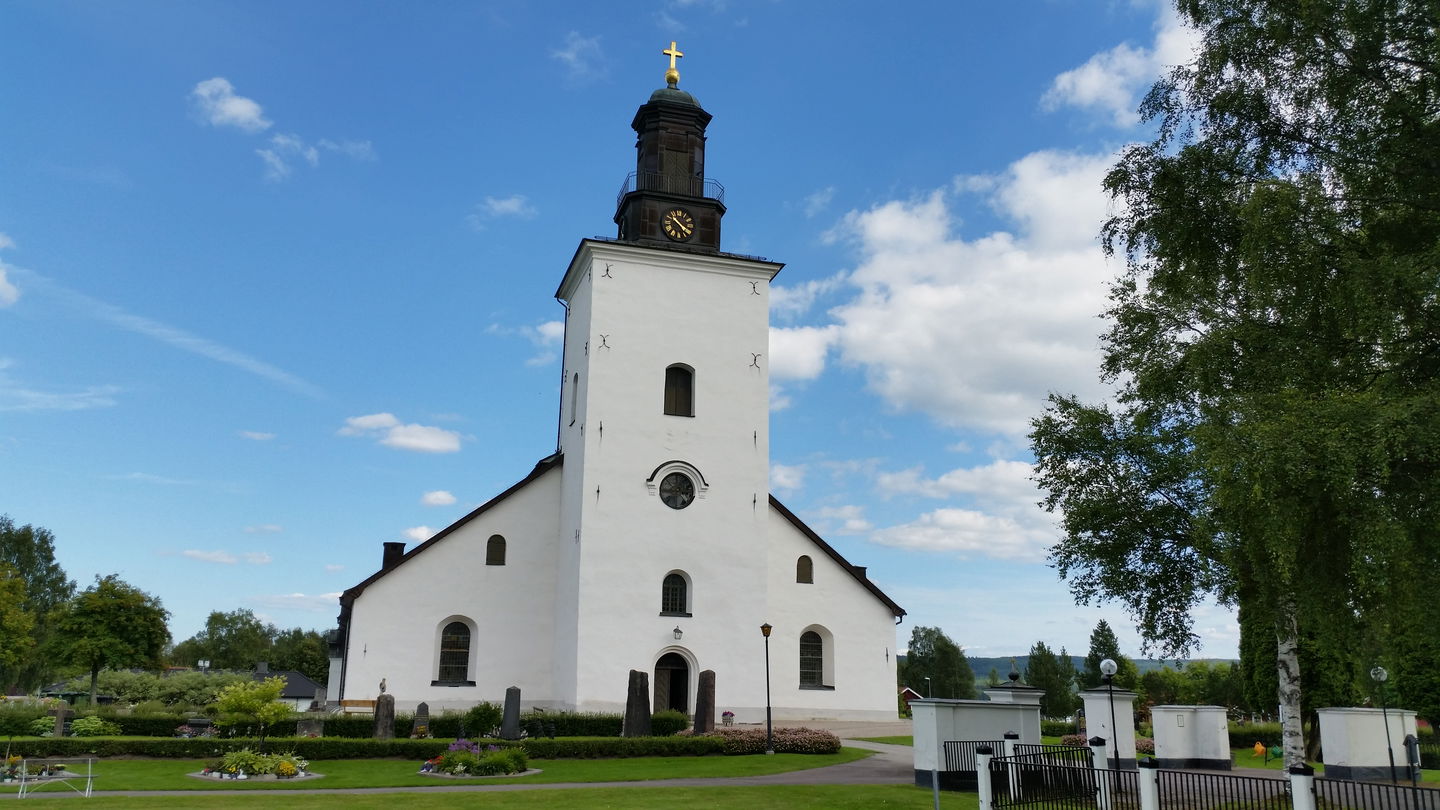
In Grangärde there are iron maker’s homesteads, the parsonage and the church by the roadside. The church has roots from the early 15th century and was probably dedicated to St. Olav.
This stage provides several options for overnight stays.
Read more about the stage
The Malingarna lake system, 190 meters above sea level, corresponds in height to the earliest Baltic Sea shoreline, Lake Ancyllus 7550-6000 BC, and offers a fascinating landscape. The lakes once formed the innermost bay of the inland sea Ancylussjön.
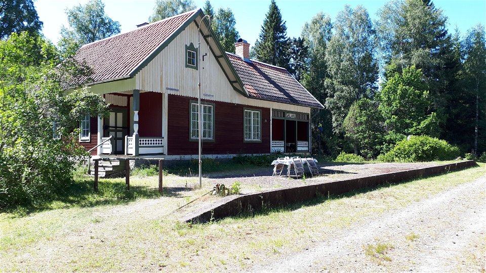
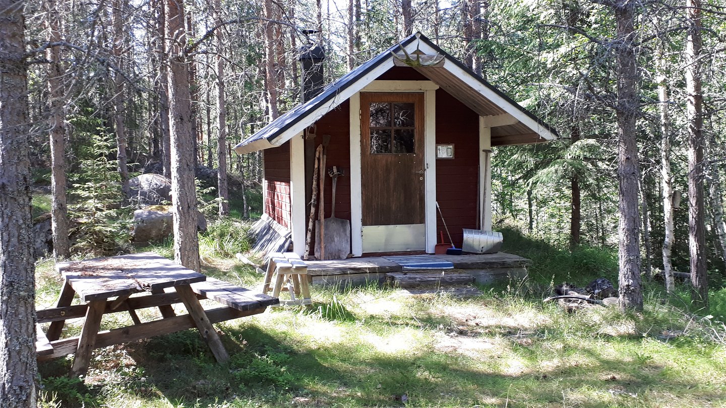
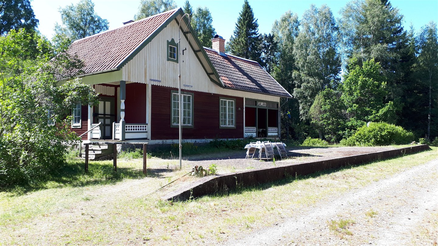
The stage continues on the former railway embankment towards the stage stop Salå station at the parish border with Dala-Floda in Gagnef municipality. In Salå you can find rest in your tent or in a small cabin, the Salåkojan.
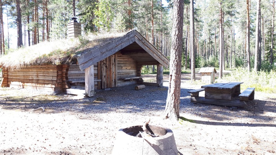
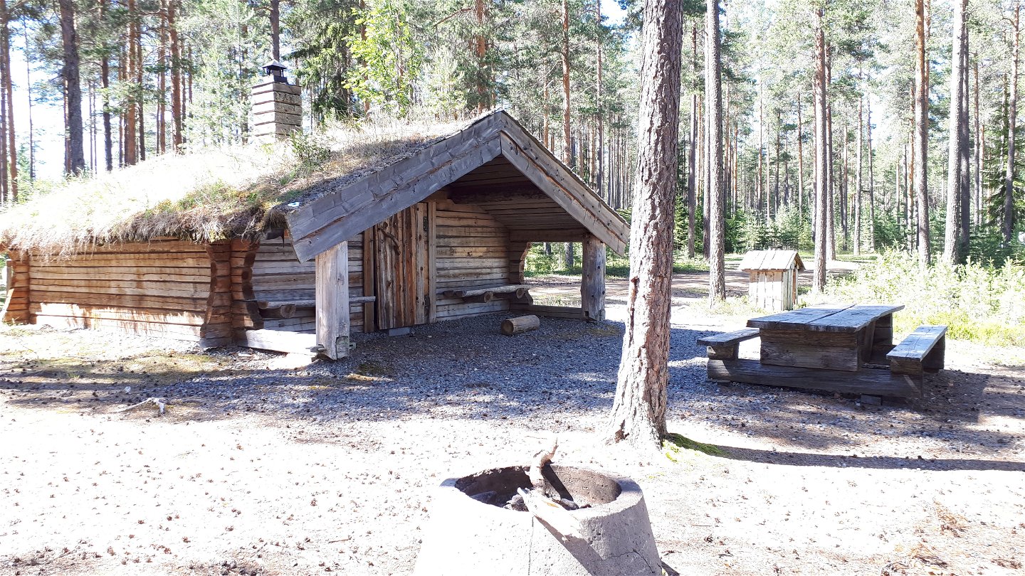
Simple shelter is available at Övre Hedtjärn.
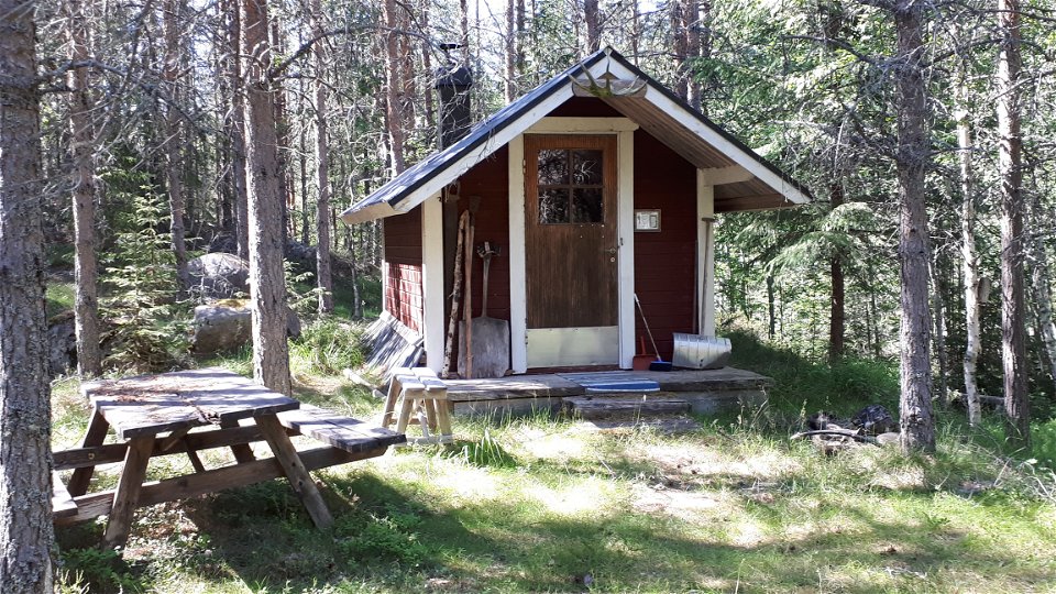
A small cabin with privy is available at Flogen.
You can also stay at Länsmansgården's hostel in Björbo north of Salå, they are happy to pick you up by car on national road 66 if you call them.
Walk in the footsteps of the pilgrims
Romboleden (Rombo Way) is a pilgrimage route that people began using in the 11th century. The Romboleden is Sweden’s longest pilgrimage route at 900 kilometres long. It starts in Köping in Västmanland and finishes in Trondheim on the Norwegian Atlantic coast. If you walk the entire trail, you will experience a beautiful and varied landscape. You will walk on old chalet paths, over mountains with magnificent vistas and along narrow country gravel roads. You will find easy one-day walks with cafés along the way, and long treks that take several days. The route often passes through small villages.
Would you like to walk with a Pilgrim’s Passport and collect stamps from each stage? The medieval Pilgrim’s Passport allowed a pilgrim to walk in the whole of Europe without being stopped by rules or boundaries. These days it is just a nice memento. The Pilgrim’s Passport can be collected at several stage starting points and from the web page of Rombo Way.
Thanks to the landowners – show consideration when hiking
St Olav Rombo Way runs mainly through actively cultivated forest and agricultural land. Thanks to the generosity of the landowners and the cooperation with non-profit organizations, you have the opportunity to hike through landscapes that would otherwise be inaccessible.
As a hiker, it is important to remember that you are walking on someone else's land. Show consideration by sticking to the trail, avoiding to disturb animals, crops and ongoing work. Leave nature as you found it - or even better.
Leave nothing but footprints along the trail.
Toimintaa ja tilat
-
Vaellusreitit
-
Pyhiinvaellusreitti
Faktat
Overnight in Salåkojan, a small cabin for two people. Access to water in the river next to the cabin. Purify the water at your own risk. Feel free to call and inform the forestry company that owns the cabin if you are staying overnight- telephone number +46 (0)241 220 08.
Simple shelter is available at Övre Hedtjärn.
A small cabin with privy can be found at Flogen 10 km from Grangärde.
Pinta
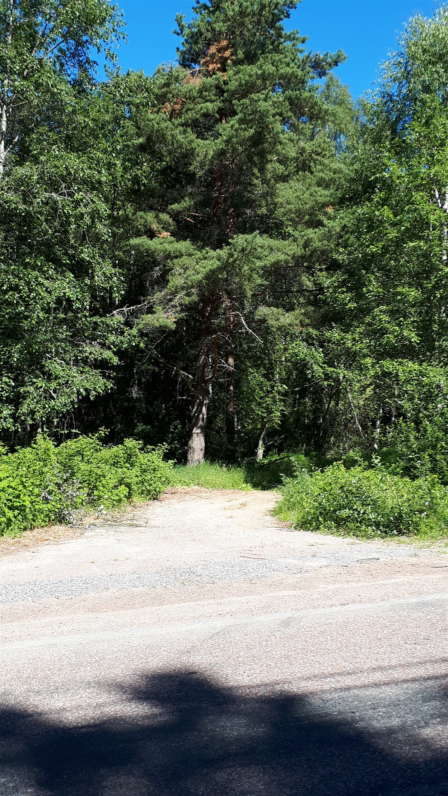
Mostly asphalt- and gravel roads.
Pysäköinti
Parking at Grangärde Church.
Viestintä
Reittiohjeet
The nearest bus station for the stage start is Grangärde square, 3 minutes' walk from the church.
The nearest bus station for the end of the stage is Källbäcken, 15 minutes' walk from the Prästbuo small cabin.
Asetukset
Thanks to the landowners – show consideration when hiking
St Olav Rombo Way runs mainly through actively cultivated forest and agricultural land. Thanks to the generosity of the landowners and the cooperation with non-profit organizations, you have the opportunity to hike through landscapes that would otherwise be inaccessible.
As a hiker, it is important to remember that you are walking on someone else's land. Show consideration by sticking to the trail, avoiding to disturb animals, crops and ongoing work. Leave nature as you found it - or even better.
Leave nothing but footprints along the trail.
Whenever you visit Swedish nature you have a Right to public access. Read more about it here.
As a hiker you are sometimes walking in protected nature with specific rules and regulations. You are responsible for making sure you are following the rules. You can read more about it at the Swedish Environmental Protection Agency and the County Administrative Board.
As a hiker, you are responsible for finding out about any local regulations, paying attention to traffic and showing consideration for others who share the trail with you.
Remember to only start camp fires in established barbecue areas and ensure that there is no fire ban in your area.
Remember that rational agriculture or forestry may occur along the trail.
Lataukset
Huomaa, että osa näistä teksteistä on käännetty automaattisesti.
Kysymykset & vastaukset (Q&A)
Esitä kysymys muille Naturkartan-käyttäjille.

