Hundfjällsslingan
Vaellusreitit
- Kunta: Dalarnas län
- 6488.78 km päässä sinusta
Polun yksityiskohdat
- Pituus 12.0 km
- Aika 3 h
- Vaikeuksia Punainen - vaativa
Toiminnot
Kuvaus
Drive road 66, past Hundfjällets skiresort, approximately 2 km, to a small lake on your right side. Opposite the road is a parking place and the start point for Hundfjällsslingan. After about 2 km the hikingtrail turn aside to Hundfjällskölen and Skogsäterstugan.
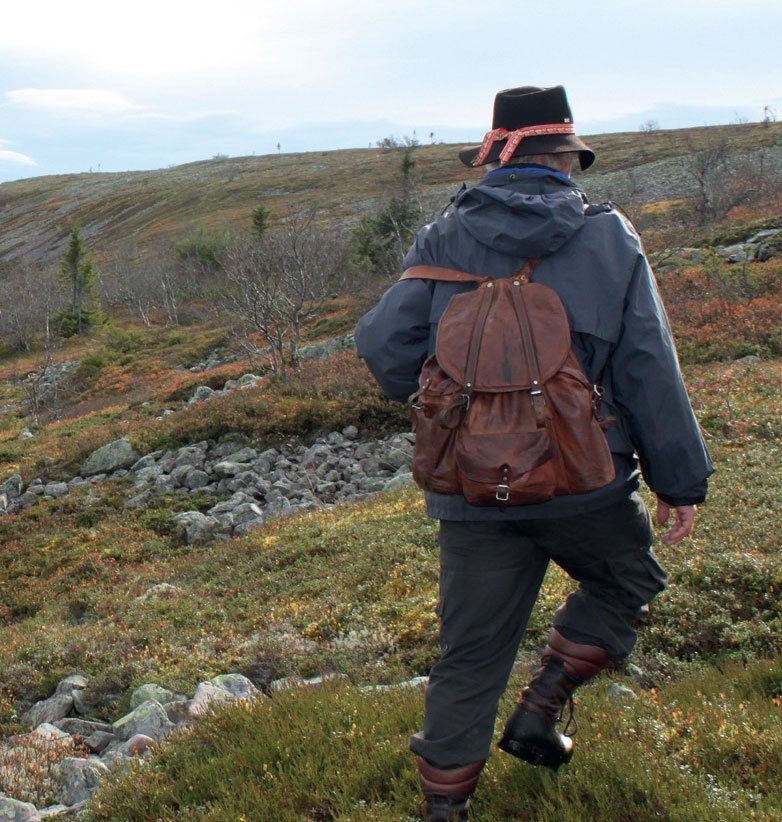
Here are the options, you can either go to Hundfjällets ski lifts and the trail becomes 12,5 km. If you however choose to go against Hundfjällets naturereserve the trail becomes 20 km. The hiking trail is extraordinary through partly fine old forest. From Skogsäterstugan quite steep climb up on Hundfjället where you have a lovely view in all directions. The hiking trail then carries down Hundfjället to Hundfjällets skiresort. Go to rv 66 and turn left on the road.
Walk about 3 km to the starting point, the parking lot at Tandådalstjärn. The trail is marked with red crosses. Along the dashed blue marking you can make a nice hike off the trail, trough Trolldalen.
Toimintaa ja tilat
-
Turskidåkning
-
Vaellusreitit
-
Längdskidor
Reittiohjeet
Drive road 66, past Hundfjällets skiresort, approximately 2 km, to a small lake on your right side. Opposite the road is a parking place and the start point for Hundfjällsslingan
Lataukset
Ota yhteyttä
Osoite
Destination Sälenfjällen är det gemensamma bolaget för utveckling av besöksnäringen i Sälenfjällen. Bolaget arbetar strategiskt med övergripande frågor för att skapa goda förutsättningar för besöksnäringen och därigenom bidra till ett ökat antal besökare året runt i Sälenfjällen. Läs mer på salenfjallen.se
Organisaation logotyyppi

Huomaa, että osa näistä teksteistä on käännetty automaattisesti.
Kysymykset & vastaukset (Q&A)
Esitä kysymys muille Naturkartan-käyttäjille.


