

Ullared-Kvarnlyckan, Hallandsleden
Vaellusreitit
- Kunta: Hallands län
- 6685.88 km päässä sinusta
Polun yksityiskohdat
- Pituus 18.0 km
Toiminnot
Kuvaus
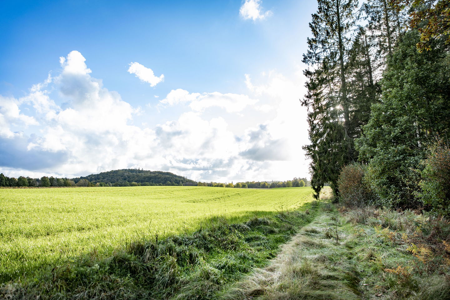
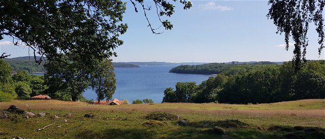
The trail follows the Högvadsån valley to the northeast for just over 12 km. Almost the entire stretch runs right next to the river, which flows in a fairly rapid course. The trail is easy to walk here because it runs on the embankment of the "Pyttebanan". This narrow-gauge railway ran between the coastal town of Falkenberg and Limmared in Västra Götaland between 1894 and 1959. Once you leave the flat embankment, you come back up to woodland.
Toimintaa ja tilat
-
Vaellusreitit
Huomaa, että osa näistä teksteistä on käännetty automaattisesti.
Kysymykset & vastaukset (Q&A)
Esitä kysymys muille Naturkartan-käyttäjille.
Arvostelut
Sinua saattaisi kiinnostaa myös
