Bruksvallarna - Ramundberget, Romboleden Etapp 30
Pilgrimsled
- Kunta: Jämtlands län
- 6390.34 km päässä sinusta
Polun yksityiskohdat
- Pituus 8.5 km
- Aika 2 h 10 min
- Vaikeuksia Vihreä - yksinkertainen
Toiminnot
Tällä hetkellä
This stage requires mountain experience and is recommended for hiking in July, August, September.
Kuvaus
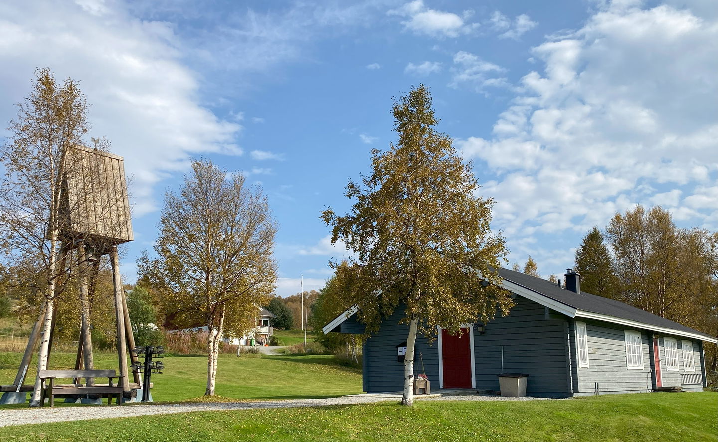
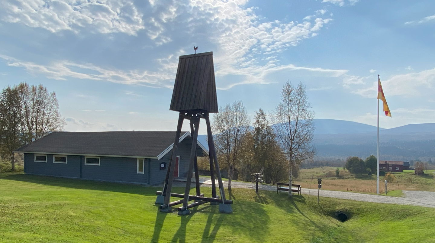
Here, you follow the valley of the Ljusnan River past meadows, birch forests, and grazing lands – a cultural landscape shaped by summer pasture farming. It is lush and green here.
You move through historic areas. Here, you can see Iron Age graves, and names such as Hedningsbacken and Hedningsvallen hint at the time when the area was Christianised. In Bruksvallarna, the trail may pass through cow pastures. Show respect and pass calmly. If you have a dog, it is recommended to use the road instead.
Be attentive when the trail crosses the road or the roller-ski track. The road is busiest during Ramundberget's peak seasons.
Walk in the footsteps of the pilgrims
Romboleden (Rombo Way) is a pilgrimage route that people began using in the 11th century. The Romboleden is Sweden’s longest pilgrimage route at 900 kilometres long. It starts in Köping in Västmanland and finishes in Trondheim on the Norwegian Atlantic coast. If you walk the entire trail, you will experience a beautiful and varied landscape. You will walk on old chalet paths, over mountains with magnificent vistas and along narrow country gravel roads. You will find easy one-day walks with cafés along the way, and long treks that take several days. The route often passes through small villages.
Aiheeseen liittyvät tapahtumat
2025-08-16 Stafettvandring med pilgrimsstaven från Bruksvallarna till Ramundberget
16 aug
- Kaupunki: Funäsdalen
Toimintaa ja tilat
-
Vaellusreitit
-
Pilgrimsled
Faktat
Toilets and drinking water are available in the village communities around Bruksvallarna and Ramundberget.
Hotels, hostels, cottage rentals, restaurants, supermarkets in Bruksvallarna and Ramundberget, check opening hours for the summer season.
Pinta
Easy hike on paved roller ski track, parallel to the car road.
Hills
Some hilly mountain terrain.
Pysäköinti
Parking is available at Bruskvallarna's chapel, as well as in Bruksvallarna and Ramundberget communities.
Viestintä
Public transport Härjedalingen and Länstrafiken Jämtland
Bus line 622 runs between Bruksvallarna and Ramundberget.
Trains from Stockholm to Östersund or Ljusdal and then by bus to Funäsdalsfjällen.
You can get to Funäsdalsfjällen by car, bus, plane or train with a transfer. Most people drive a car to get here, but it is also possible to take the bus. The nearest airport is in Röros in Norway, as well as airports in Sveg and Östersund, with transfer facilities to Funäsdalsfjällen.
Please note that pre-booking of bus/taxi may be required.
Reittiohjeet
The nearest bus station at the start of the stage is Bruksvallarna Macken, 1 minute walk to Bruksvallarna chapel.
The nearest bus station at the end of the stage is Ramundberget, 0 minutes walk to the community Ramundberget.
Asetukset
This is hiking in mountain areas that require more of you as a hiker and careful preparation.
As a hiker, you are responsible for finding out about any local regulations, paying attention to traffic and showing consideration for others who share the trail with you.
Whenever you visit Swedish nature you have a Right to public access. Read more about it here.
As a hiker you are sometimes walking in protected nature with specific rules and regulations. You are responsible for making sure you are following the rules. You can read more about it at the Swedish Environmental Protection Agency and the County Administrative Board.
Remember to only start camp fires in established barbecue areas and ensure that there is no fire ban in your area.
Remember that you are hiking on someone else's land and that rational agriculture or forestry may occur along the trail.
Lataukset
Huomaa, että osa näistä teksteistä on käännetty automaattisesti.
Kysymykset & vastaukset (Q&A)
Esitä kysymys muille Naturkartan-käyttäjille.


