Hattbäcken
Luonnonsuojelualue
- Kunta: Norrbottens län
- 6603.08 km päässä sinusta
Toiminnot
Kuvaus
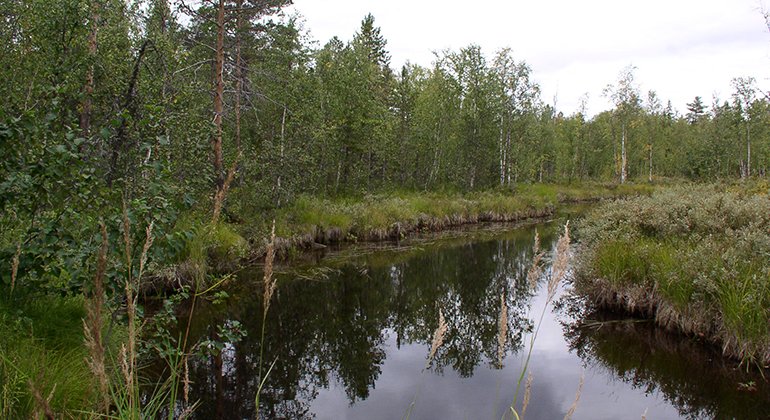
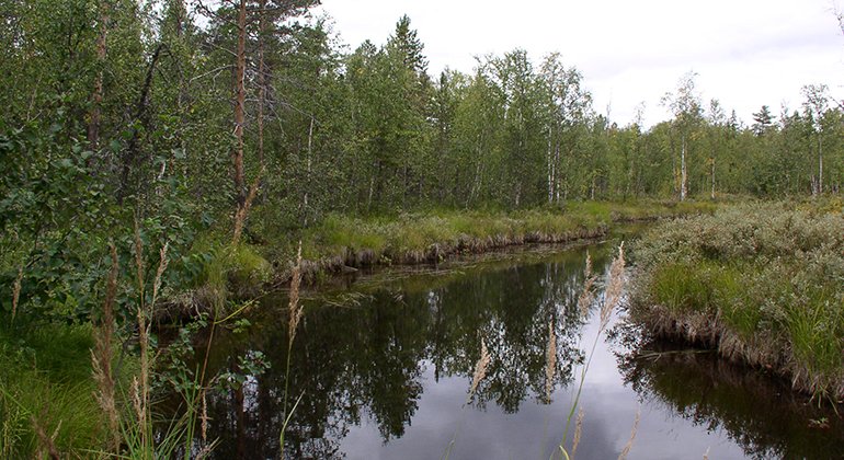
Hattbäcken lies on Lake Slyträsket. Here, waterlogged forests share the area with fens, mires and streams. The most common type of forest is wet spruce forest where large numbers of deciduous trees grow among the spruce. Some streams run through the reserve and in the ground there is flowing groundwater. It makes the plants verdant. In the watercourse that flows out from Lake Långsjön there are the remains of a watermill that was used as recently as recently as the 1910s. The area is 3.4 square kilometres in size.
Toimintaa ja tilat
-
Luonnonsuojelualue
Faktat
Municipality: Soil
Year of formation: 2012
Size: 3.4 square kilometers
Administrator: County Administrative Board
Form of protection: Nature reserve
Viestintä
Follow road 356 from Boden. After about 22 kilometres turn off northwards towards Brännberg. From Brännberg drive northeast, and after about 10 km the reserve lies on the left. There is a logging road that runs through the reserve. You can also start from Södra Bredåker and round Lake Långsjön.
Reittiohjeet
Follow road 356 from Boden, after about 2.2 miles turn north towards Brännberg. From Brännberget drive northeast, after about 1 mile the reserve is on the left. There is a forest road that goes through the reserve. It is also possible to get to Hattbäcken by driving from Södra Bredåker and around Lake Långsjön.
Asetukset
All regulations can be found in the reserve decision. It is allowed to:
- hike
- camping
- picking berries and edible mushrooms
- build a small fire
- driving snowmobiles on well-snow-covered ground
- fishing and hunting in accordance with the laws in force It is not allowed to harm plant and animal life. Remember the right of public access and protect nature!
Ota yhteyttä
Sähköpostiosoite
Länsstyrelsen Norrbotten
Organisaation logotyyppi

Huomaa, että osa näistä teksteistä on käännetty automaattisesti.
Kysymykset & vastaukset (Q&A)
Esitä kysymys muille Naturkartan-käyttäjille.


