Treriksröset-Pältsa, Nordkalottleden
Vaellusreitit
- Kunta: Norrbottens län
- 6404.12 km päässä sinusta
Polun yksityiskohdat
- Pituus 13.0 km
Toiminnot
Kuvaus
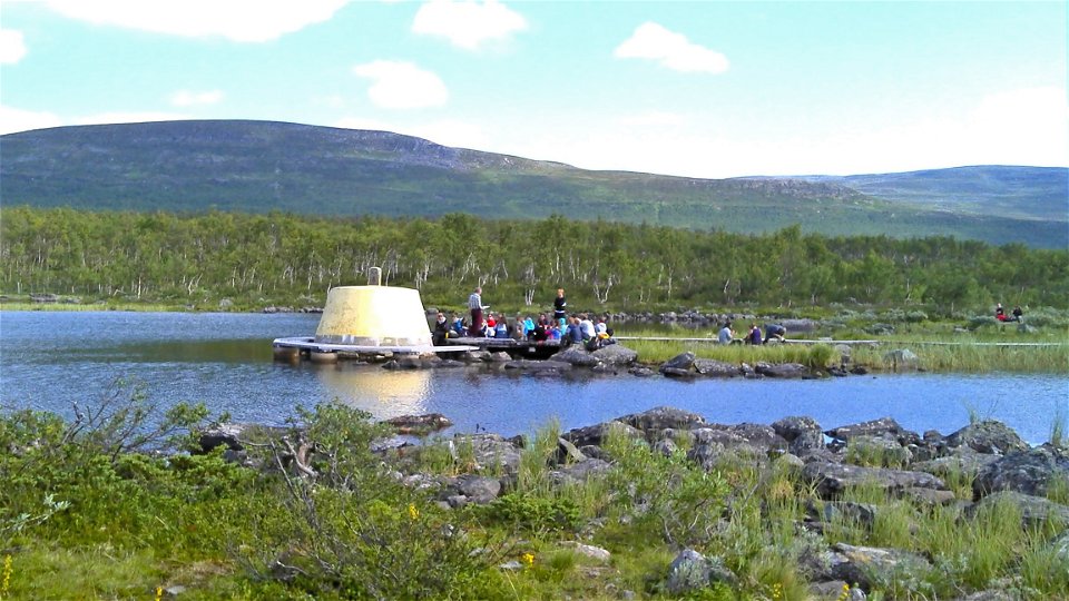
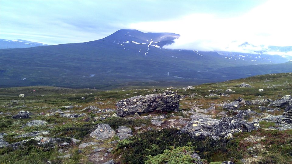
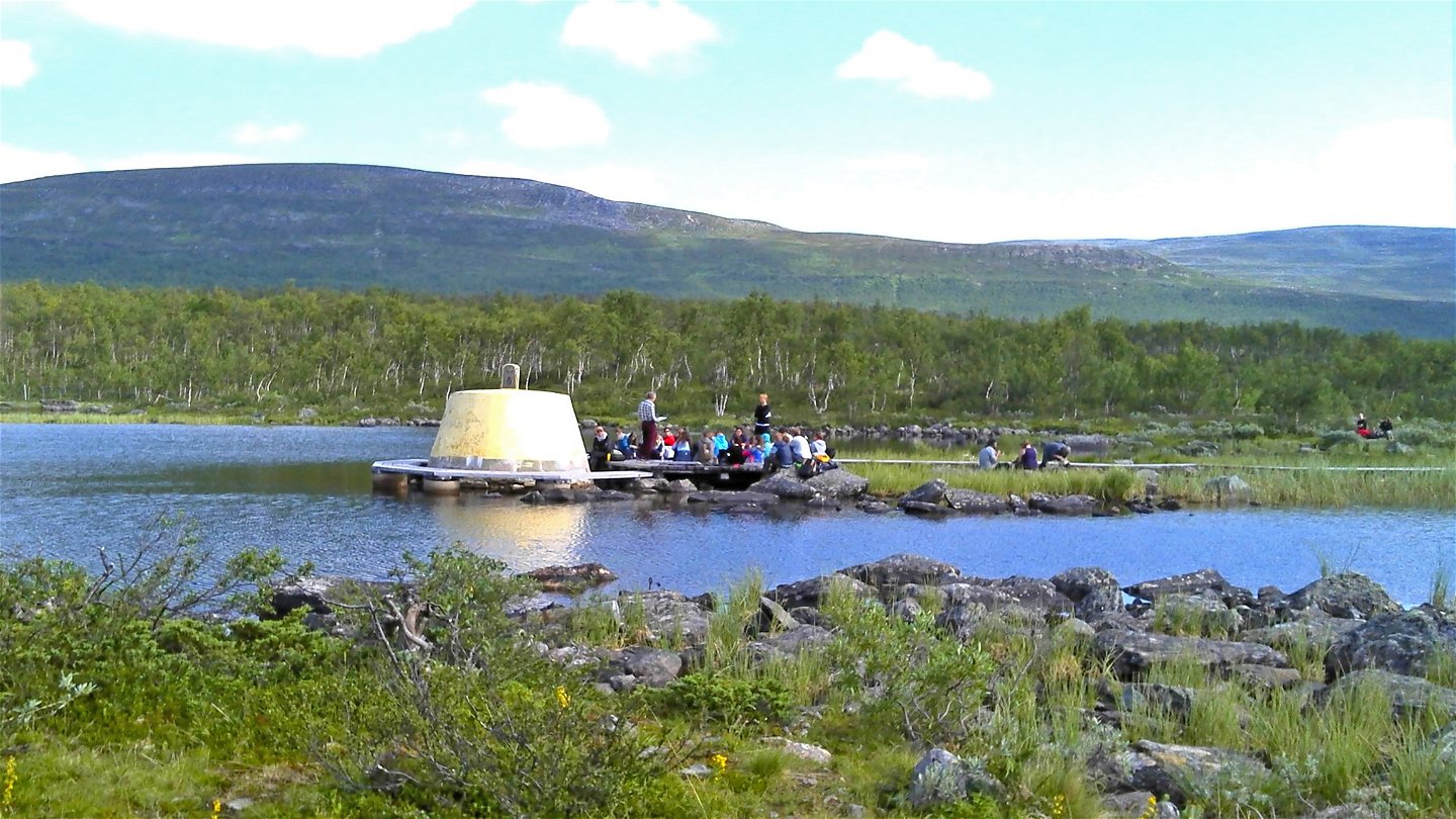
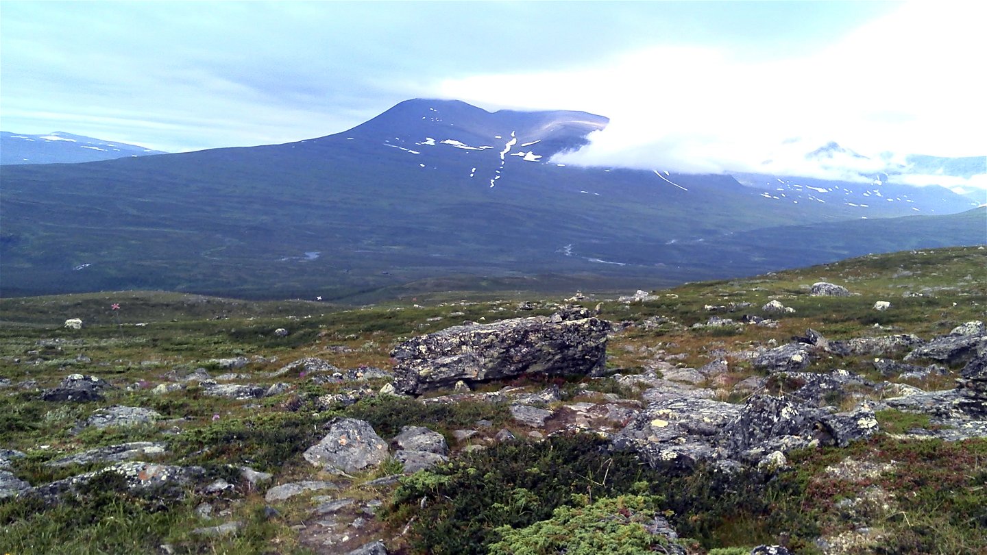
This hilly stretch follows the X-marked winter trail all the way. From the Three-Nation Cairn you follow a plankway path out on to the trail to Golddaluokta. After about 100 m, the trail to Pältsa turns off. The hike continues through mountain birch forest. Eventually, a long climb begins up to the bare mountain. After about 4 km you come to a fork in the trail. The east branch carries on down to Golddaluokta, while the branch straight ahead leads to the Pältsa cabin. The trail passes through slightly hilly terrain along the slope of Duoibal mountain at an altitude of just over 800 m. After the slope down to Lake Láhkunjoaskejávvrit, the trail continues up to a small pass. It then descends again to Lake Ruovddášvággejávri, which you pass at the eastern end. Here the ground is somewhat moist. After another climb over a ridge, then there is another descent to Pältsa cabin.
**Duration:**4-6 hours
Toimintaa ja tilat
-
Vaellusreitit
Pinta
Easily-hiked surface.
Viestintä
There is an 11 km hiking trail from Kilpisjärvi to the Three-Nation Cairn. You can also travel by boat 8 km to Golddaluokta. This is followed by a 3 km hike.
Kilpisjärvi lies about 290 km north of Kiruna. There is a road and the easiest way here is by driving. You can also take a bus from Kiruna to Karesuando (180 km). From Karesuvanto on the Finnish side you continue by bus to Kilpisjärvi (110 km).
Länstrafiken Norrbotten website (bus and coach operator) Eskelisen Lapin Linjats website (Finnish bus operator) Matkahuoltos website (Finnish bus operator) M/S Malla website or tel. +358 400 669 392, +358 40 8485494
Karesuando Touristinformation Kiruna Lappland website Destination Enontekiö-Tosilappi website Kilpisjärvi Visitor Centre
Ota yhteyttä
Sähköpostiosoite
Länsstyrelsen Norrbotten
Organisaation logotyyppi

Huomaa, että osa näistä teksteistä on käännetty automaattisesti.
Kysymykset & vastaukset (Q&A)
Esitä kysymys muille Naturkartan-käyttäjille.


