-
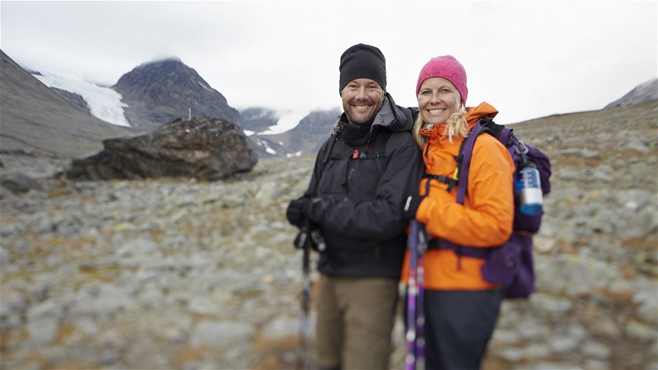
Kuva: Michael Jönsson/Johnér -
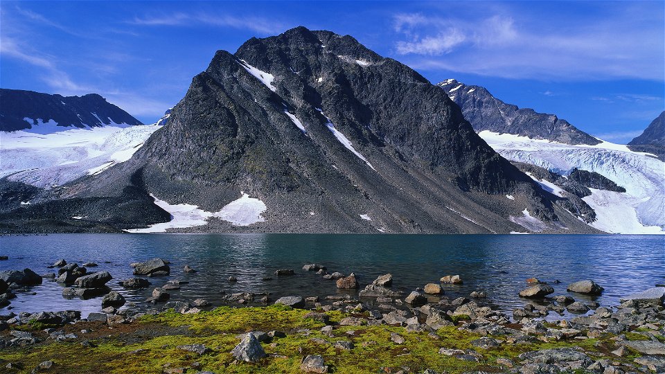
Darfáljávri och Norra Klippberget.
Kuva: Håkan Hjort/Johnér -

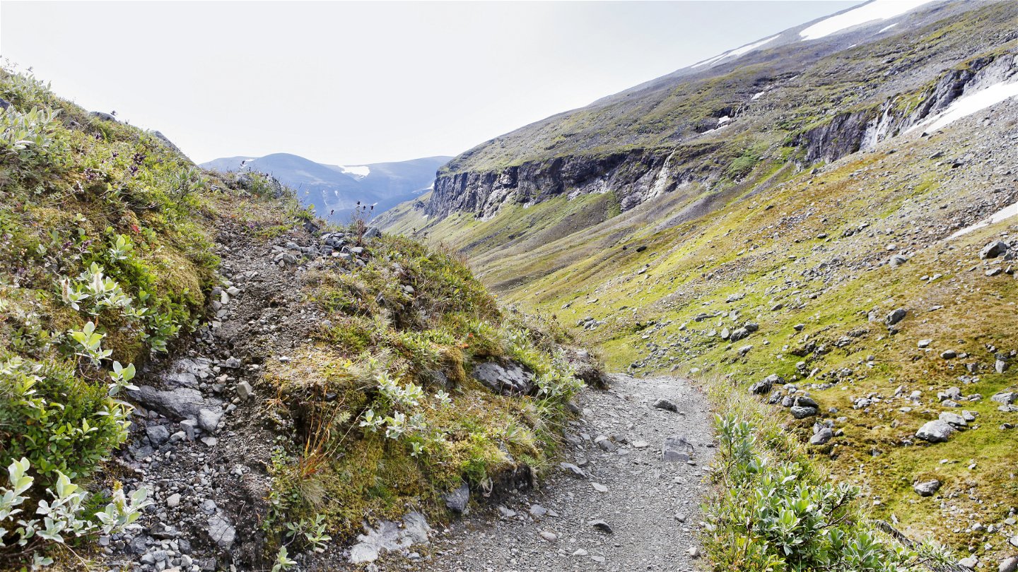
Kuva: Marie Linnér/Johnér -

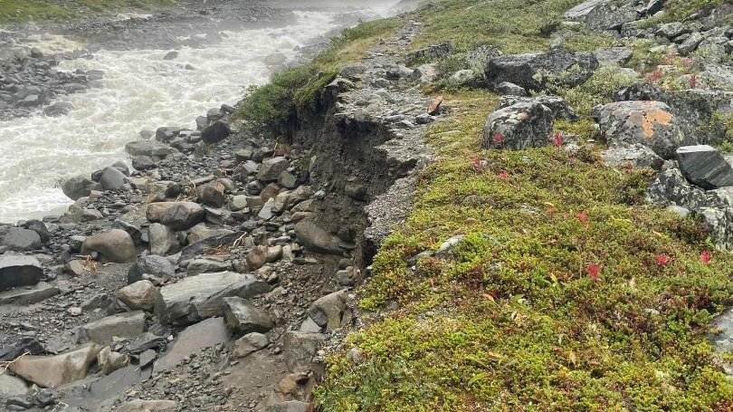
Erosionsskador på leden augusti 2022
Kuva: Länsstyrelsen Norrbotten


Kebnekaise fjällstation-Tarfala
Vaellusreitit
- Kunta: Norrbottens län
- 7681.64 km päässä sinusta
Polun yksityiskohdat
- Pituus 8.0 km
Toiminnot
Tällä hetkellä
Due to high water levels in August, the trail has been eroded for a few hundred metres. The trail marks have been swept away. Please be careful when passing the area. The most affected part of the trail is north of the south bridge across Darfáljohka. The missing trail marks will be restored in 2023.
Kuvaus
From Kebnekaise mountain station, follow the trail eastwards towards Nikkaluokta. The first 2 km stretch to the suspension bridge across Darfáljohka stream is easy. After the bridge, the trail turns off northwards to follow the stream to Tarfala. It rises steeply and the birch forest is left behind. Further up the valley, the trail crosses the stream via two suspension bridges. After a steep climb, the marked trail continues on somewhat flatter terrain crossing a rocky area as far as the Tarfala cabin, which is beautifully situated on Lake Dárfaljávri, surrounded by mighty rock faces and glaciers. The hike includes some steep stretches and areas with loose rocks. Be alert and proceed carefully on these stretches.
Tent pitches have been cleared next to the cabin. There are also sites suitable for camping along Lake Darfáljávri.
The marked trail ends at Tarfala cabin. You can continue to hike northwards to the stopover cabin at Kaskasavagge and on to Visttasvággi. One recommended route is marked on the mountain map and starts from Tarfala scientific station just south of the cabin. Remember that you are in a high alpine environment and the weather can quickly change.
Duration: 3-4 hours
Toimintaa ja tilat
-
Vaellusreitit
Pinta
Moorland which at high altitude gives way to stony and boulder strewn terrain. The difference in altitude is about 500 metres.
Ota yhteyttä
Sähköpostiosoite
Länsstyrelsen Norrbotten
Organisaation logotyyppi
![]()
Huomaa, että osa näistä teksteistä on käännetty automaattisesti.
Kysymykset & vastaukset (Q&A)
Esitä kysymys muille Naturkartan-käyttäjille.
