Singi - Kaitumjaure, Kungsleden
Vaellusreitit
- Kunta: Norrbottens län
- 7664.3 km päässä sinusta
Polun yksityiskohdat
- Pituus 13.0 km
Toiminnot
Kuvaus
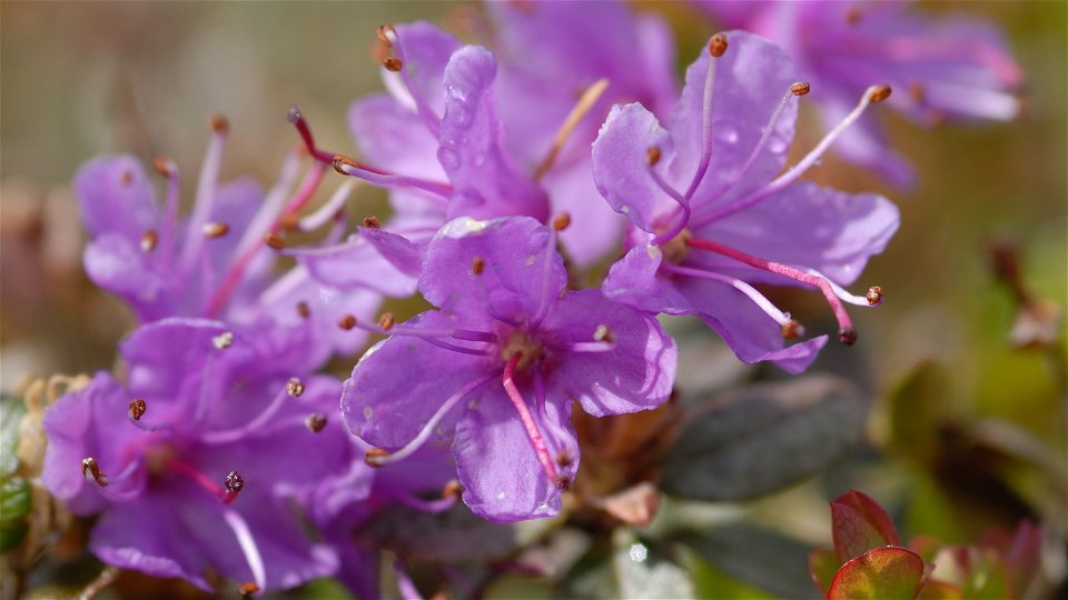
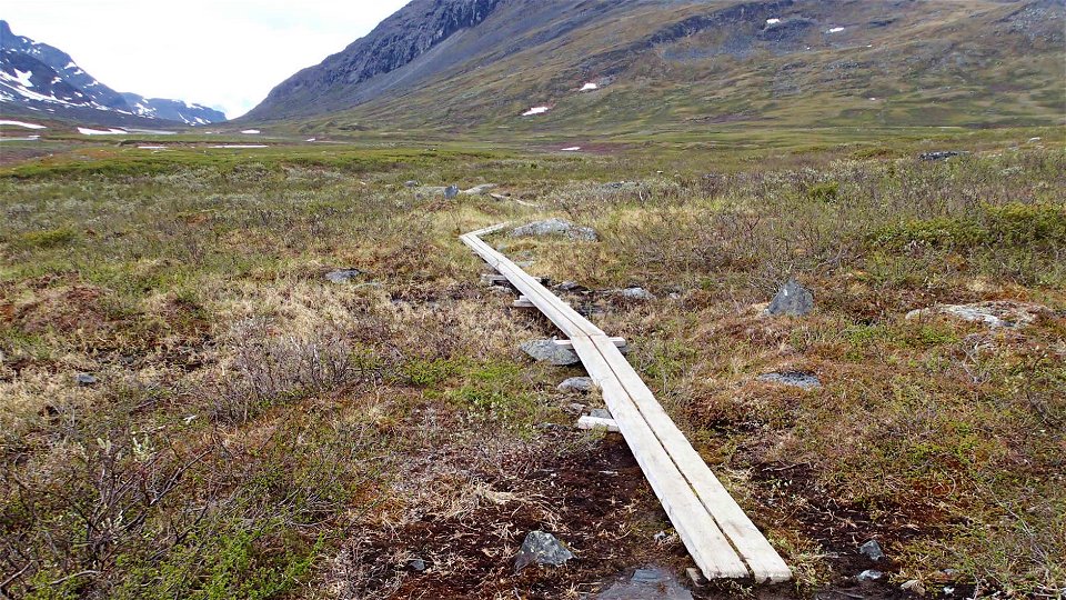
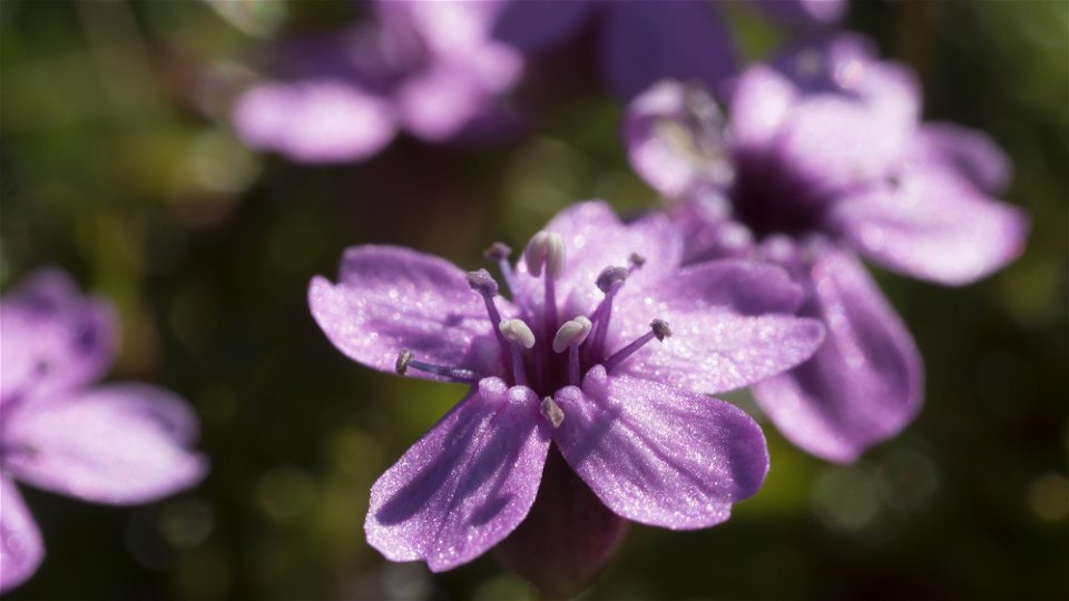
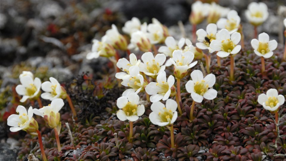
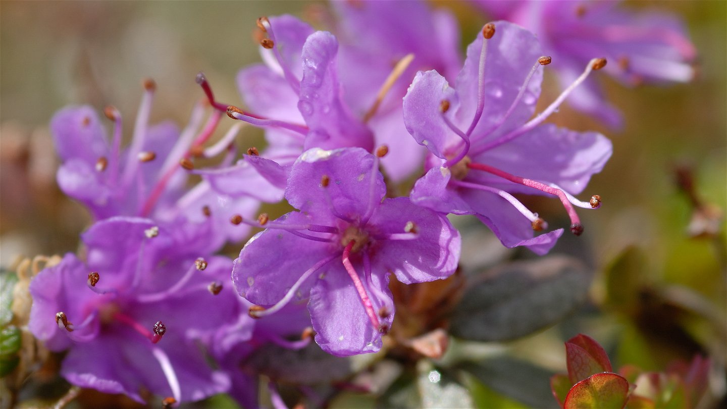
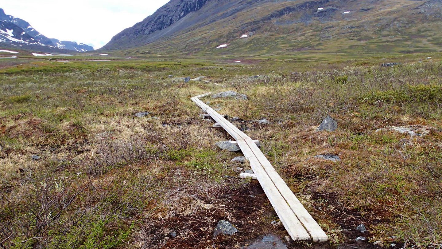
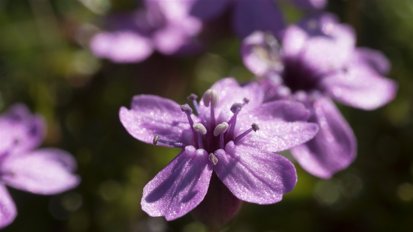
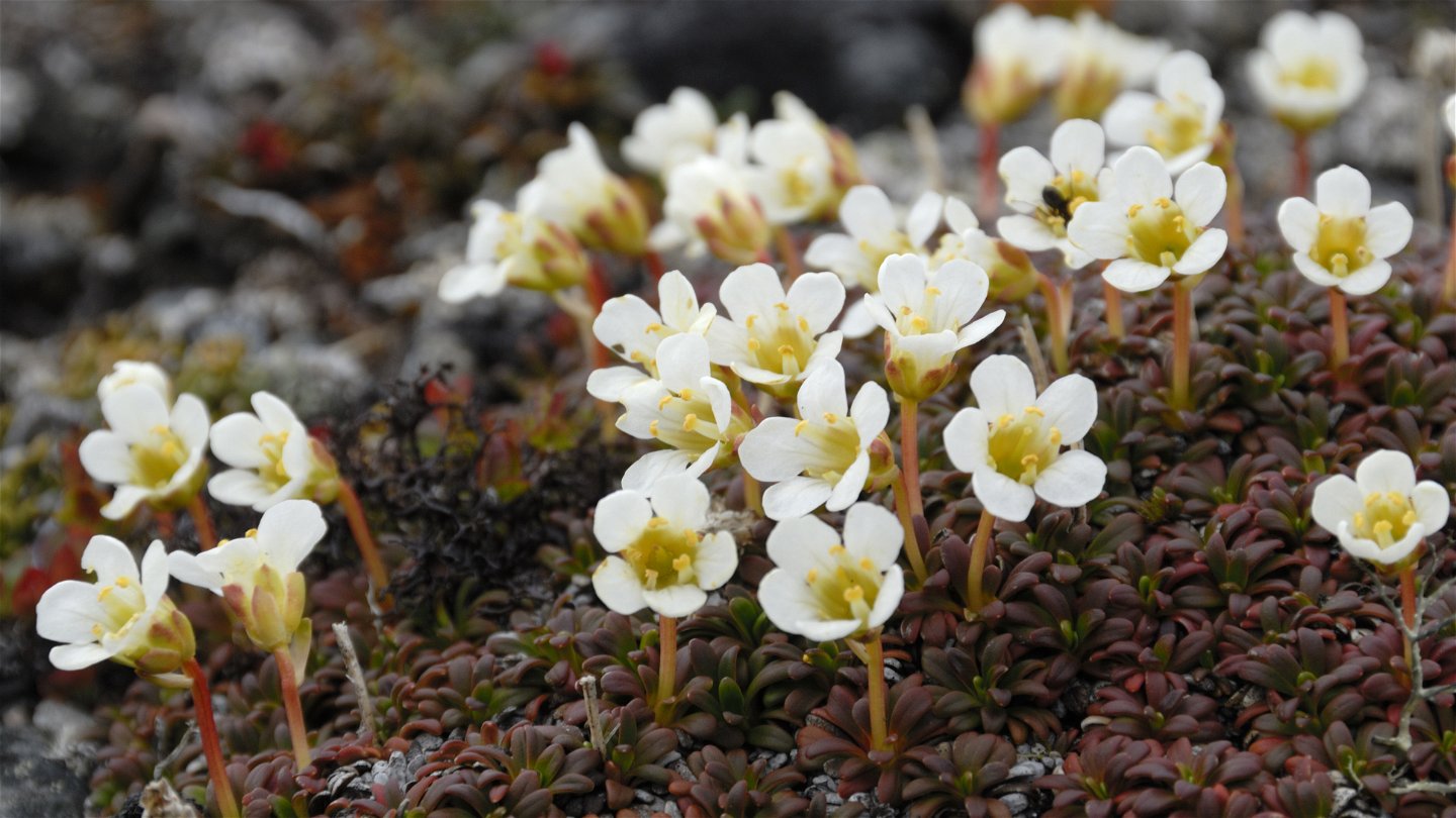
From Singi, the King's Trail follows the Tjäktjavagge Valley southwards. The stage is an easy hike with small differences in elevation, and follows Tjäktjajåkka stream all the way. The first part of the hike is a little hilly, but after a few kilometres the terrain changes to flat moorland. Between the mountain summits Stuor Avrrik and Stuor Jierta the valley becomes narrower with steep sides. For those interested in flowers, a short detour is recommended up to and down from the lime rich slopes of Stuor Jierta. After the suspension bridge across Tjäktjajåkka stream, there is a gradual downward slope towards mountain birch forest and the Kaitumjaure Cabins. During the last section you have a good view of the narrow mountain lake Padje Kaitumjaure (Bajip Gáidumjávri).
There are good tent pitches and plenty of water along the stretch.
Duration: 5-6 hours
Toimintaa ja tilat
-
Vaellusreitit
Pinta
Slightly hilly and rocky terrain for the first kilometres –after that mostly flat moorland. There are many plankways on this stretch.
Ota yhteyttä
Sähköpostiosoite
Länsstyrelsen Norrbotten
Organisaation logotyyppi

Huomaa, että osa näistä teksteistä on käännetty automaattisesti.
Kysymykset & vastaukset (Q&A)
Esitä kysymys muille Naturkartan-käyttäjille.

