-

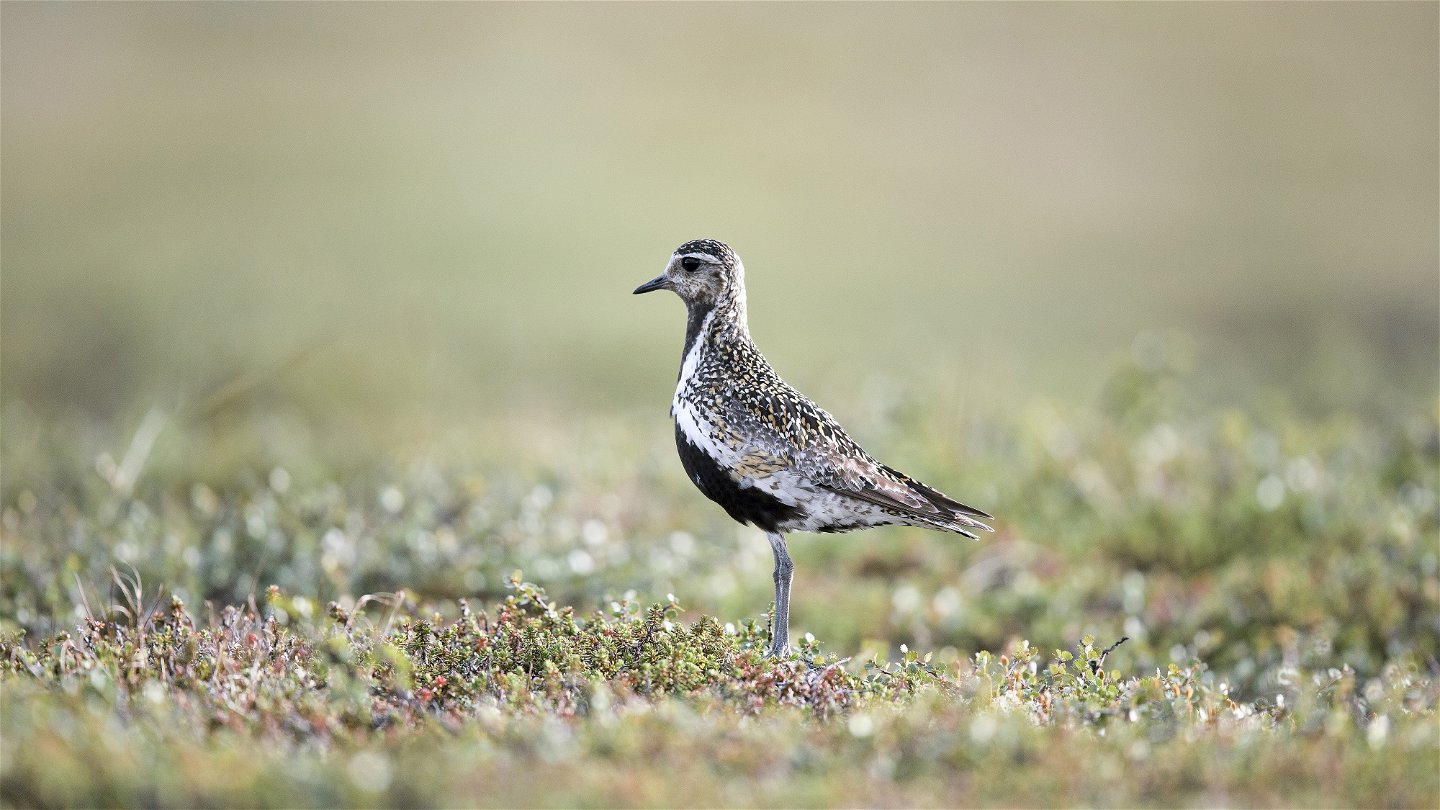
Ljungpipare.
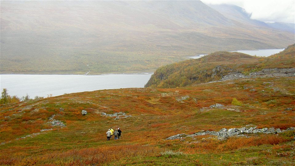
Kuva: Jan-Erik Nilsson/Länsstyrelsen -
Kuva: Bengt Gustafsson/STF

Kaitumjaure - Teusajaure, Kungsleden
Vaellusreitit
- Kunta: Norrbottens län
- 6388.94 km päässä sinusta
Polun yksityiskohdat
- Pituus 9.0 km
Toiminnot
Kuvaus
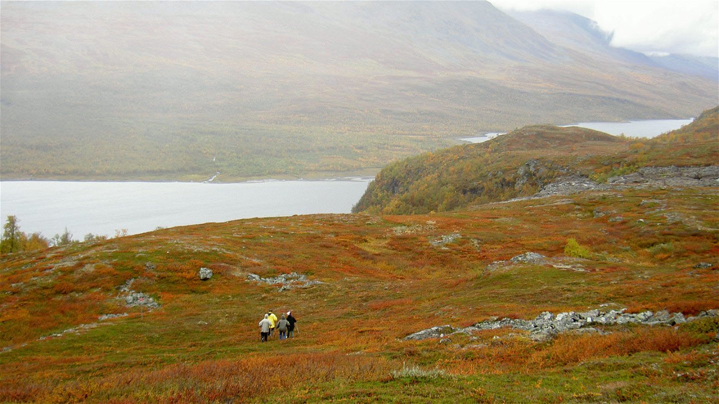
The stretch is one of the shortest along the King's Trail. The trail is easy to hike and mostly crosses bare mountain, except for the beginning and the end running through mountain birch forest. Between Gáidumjohka and Teusajaure you pass through Sjaunja/Sjávnja Nature Reserve, which is also part of Laponia World Heritage Area. This part of the trail stretch is managed by the Laponiatjuottjudus Foundation. On the small mountain plateau Muorki you reach the highest point on the stretch, just over 800 m above sea level. Water is hard to find on the high plain, so fill up before the climb. In clear weather you can see the highest summits of Sarek on the horizon. The hike across the plateau is easy, with a gradual descent towards Lake Dievssajávri. However, the last kilometre to the Teusajaure Cabins is steep.
There are good tent pitches above the Kaitumjaure Cabins or along Gáidumjohka and on the north side of Muorki.
Duration: 3-5 hours
Toimintaa ja tilat
-
Vaellusreitit
Pinta
Mostly easily hiked surface. The trail is slightly hilly and rocky in places at the beginning of the stretch. The surface becomes smoother at the climb up to the high plateau Muorki. The final slope down to the Teusajaure Cabins is very steep and rocky.
Ota yhteyttä
Sähköpostiosoite
Länsstyrelsen Norrbotten
Organisaation logotyyppi
![]()
Huomaa, että osa näistä teksteistä on käännetty automaattisesti.
Kysymykset & vastaukset (Q&A)
Esitä kysymys muille Naturkartan-käyttäjille.
