-
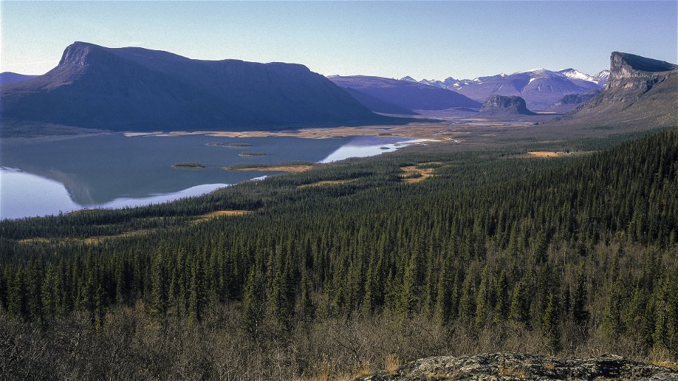
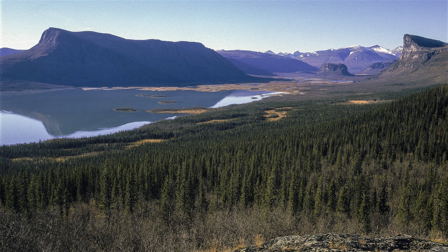
Kuva: Tor Tuorda -
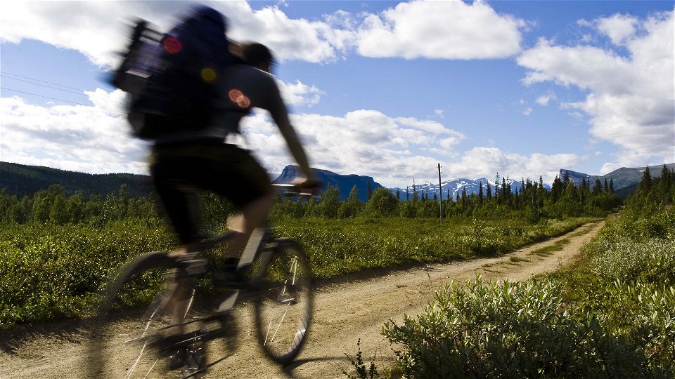
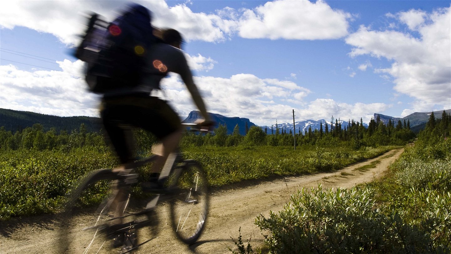
Kuva: Carl-Johan Utsi -

Kuva: Carl-Johan Utsi

Aktse-båtbrygga vid Guolleluoppal
Vaellusreitit
- Kunta: Norrbottens län
- 6422.16 km päässä sinusta
Polun yksityiskohdat
- Pituus 6.0 km
Toiminnot
Kuvaus
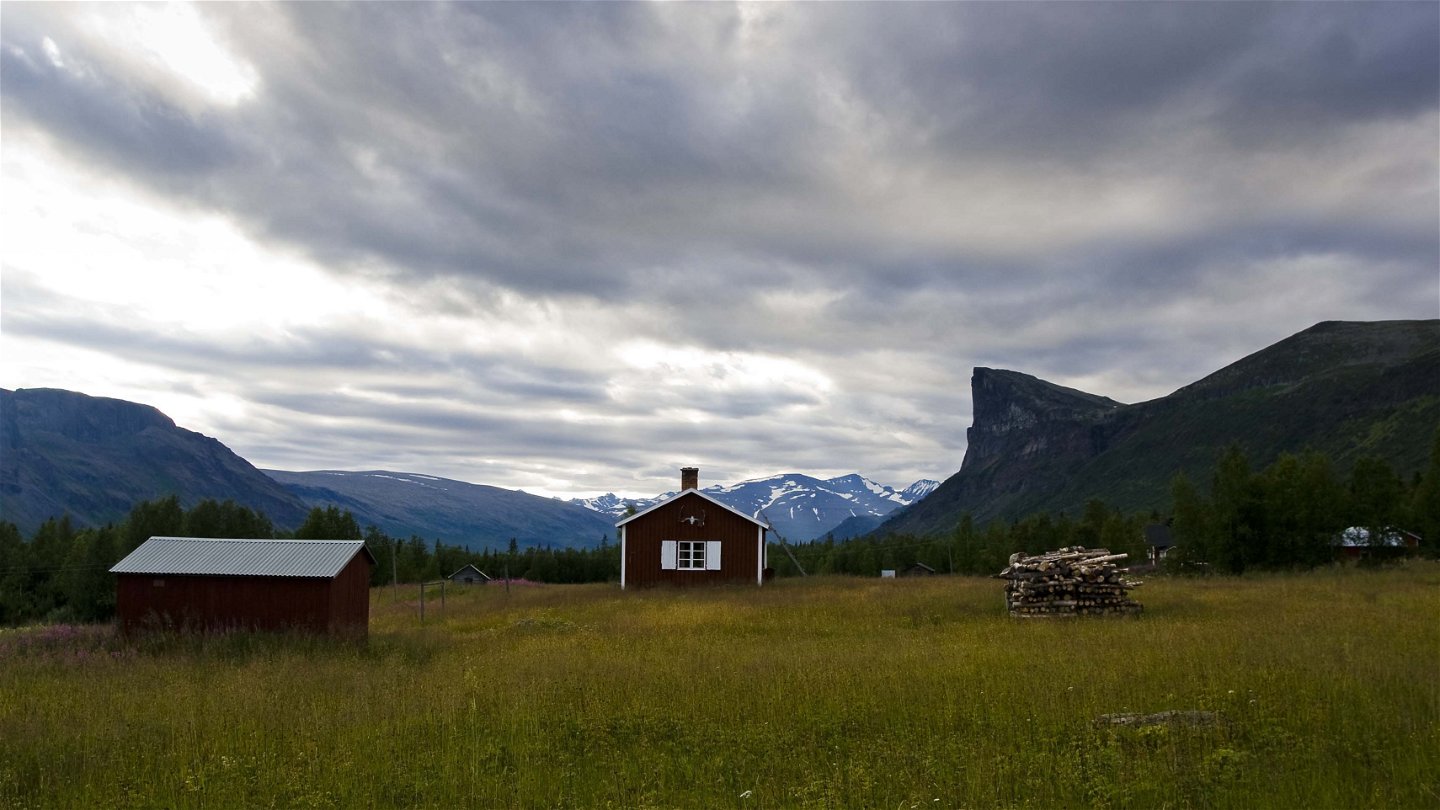
Flat and easily-hiked trail. There are plankways over wet parts and bridges across the biggest streams. There are not many good tent pitches along the trail, but at the stream from Tjårek there is a little campsite. You can also pitch a tent at the Aktse cabin.
Duration: 2-2,5 hours
Toimintaa ja tilat
-
Vaellusreitit
Pinta
Easily-hiked surface, with stretches of plankway.
Viestintä
From Sito river bridge, it is a 10 kilometre hike, or bike ride along a gravel road (the cycle trail) to the boat landing at Guolleluoppal. There is a road from Tjåmotis to Sito river bridge (20 km). There is free parking at the bridge. You can take a bus from Jokkmokk to Tjåmotis (75 km).
Ota yhteyttä
Sähköpostiosoite
Länsstyrelsen Norrbotten
Organisaation logotyyppi
![]()
Huomaa, että osa näistä teksteistä on käännetty automaattisesti.
Kysymykset & vastaukset (Q&A)
Esitä kysymys muille Naturkartan-käyttäjille.
