Jurun-Vuoggatjålme
Vaellusreitit
- Kunta: Norrbottens län
- 6354.44 km päässä sinusta
Polun yksityiskohdat
- Pituus 27.0 km
- Aika 9 h
Toiminnot
Kuvaus
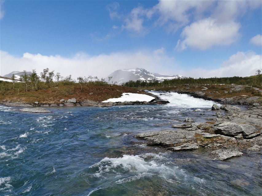
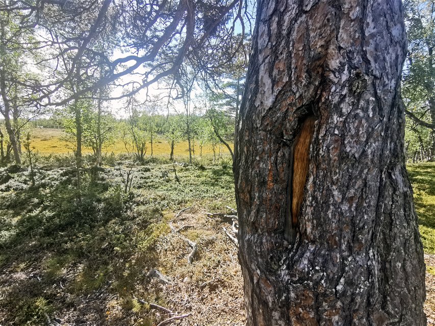
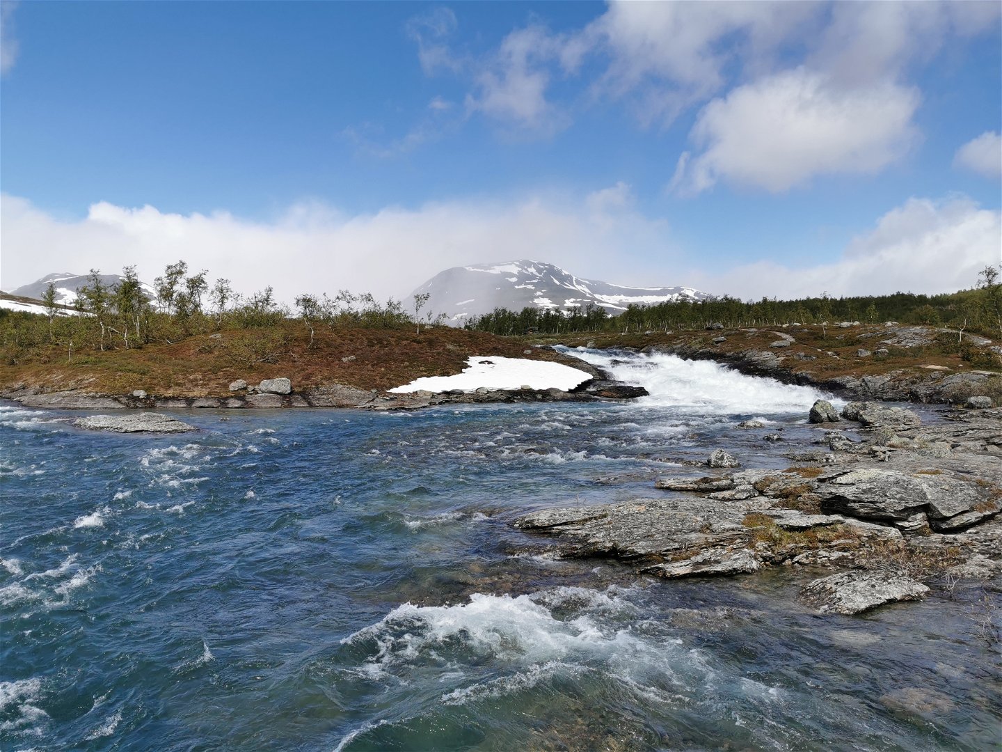
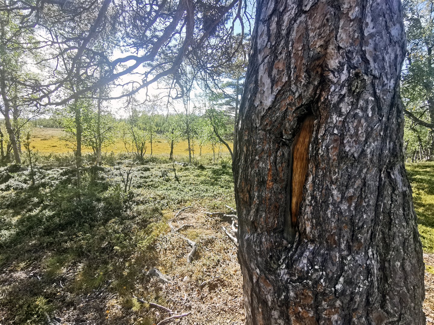
Here you follow the beautiful and lively Seldutjåhkå stream. The trail is probably ancient. Several trees bear both trail markings from the past and signs of bark stripping. Bark stripping leaves an area bare of bark in the lower part of tree trunk. Someone has cut out a small window and harvested bark for food or material.
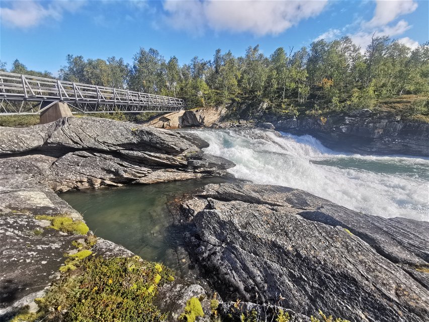
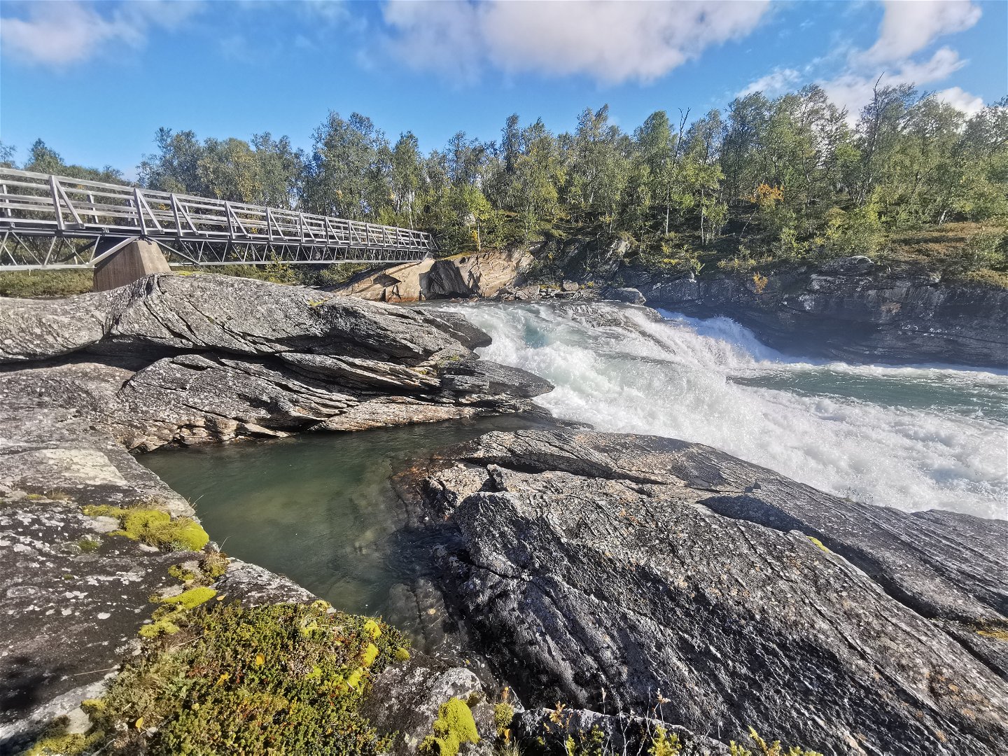
The trail begins 500 m north of the stopover cabin at the Jurunbron bridge. Two kilometres after the start there is a small waterfall (200 m off the trail) before the first bridge. For a few dozen kilometres, the trail passes several large and small streams from the many small lakes in the area.
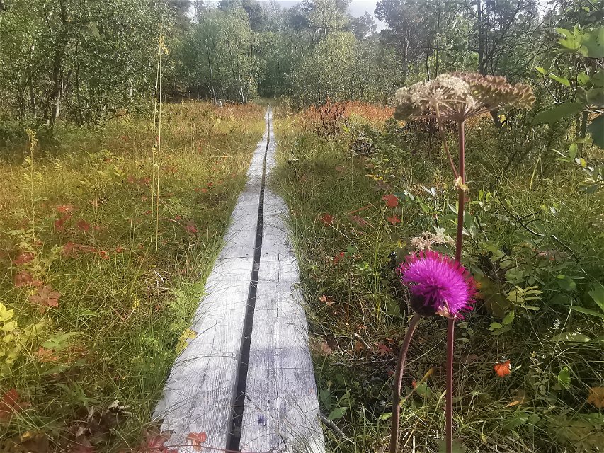
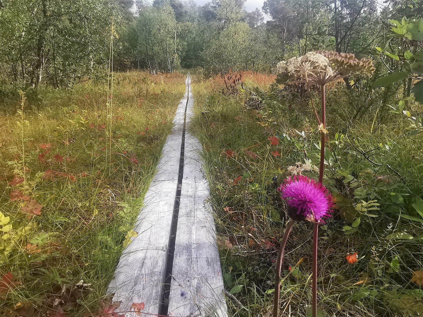
The wading places along the trail, especially at Skäguljåhkå stream in the Seldutvagge Valley, are unsuitable for wading when there is high water, which applies above all in early summer. Osier and birch forests line the trail, as well as a great variety of flowers. In moister areas, the varieties include Marsh Cinquefoil, Wood Horsetail, Ferns, Juniper sprigs, Sow-Thistle, Northern Wolfsbane and Labrador Tea. Where it is less moist, the ground is covered by different mosses and Dwarf Cornel, Bilberry, Crowberry and Lingonberry.
At the halfway point, Seldutjåhkå stream makes a sharp curve. The delta landscape has fine sandy beaches and the water is low, but the shores are difficult to reach. At the gushing stream Bävkkuljåhkå there is a bridge, and a further 4 km on you reach a trail crossing. To the south-west the trail leads you to Silvervägen (the Silver Road). At the beam bridge across Seldutjåhkå, 600 metres from the trail, there is a pleasant rest area.
Back on the
trail! Now we are in the montane virgin forest reserve of
Hornavan-Sädvajaure
and pine forest is increasingly dominant. The hike is on level ground and the
trail is easily visible. Several old-growth pines bear traces of human activity in the form of bark stripping.
North of the trail there are the ancient remains of a Sámi settlement – archaeologists have here noted the remains of dwelling sites, cairns and hearths. Semisjaur-Njarg Sámi community uses the area and on several sites along Seldutjåhkå stream there are reindeer herder cabins. At Örnberget there are the remnants of a mountain farmstead from the 1880s. In the Second World War, a telegraph operator from the Norwegian resistance movement was stationed here.
Now remains an easy hike of just over 6 kilometres to Vuoggatjålme. The vegetation is varied and dense. The Vuoggatjålme facility includes a campground, cabins and a restaurant. To board the Länstrafiken bus you walk 3 km on asphalt to Camp Polcirkeln. Here too there is a campground as well as a food shop.
Duration: 1–2 days (c. 8–9 hours)
Toimintaa ja tilat
-
Vaellusreitit
Faktat
Utflyktsguide: Jurunvárátj, Arjeplogs kommun, 2020 (Swedish)
Pinta
Easily-hiked terrain with mountain birch forest. Marshy ground in some places. Restoration of the trail is planned in 2022–2024.
Viestintä
To get to the starting point at Jurun it is easiest to hike from Silvervägen Road and the car park at Guoledisjávrre – see the description for the Mavas-Silvervägen trail. The car park lies about 30 km north-west of Vuoggatjålme. A bus runs from Arjeplog to Sandviken (bus stop on road 95, Silvervägen) at Sandvikens Fjällgård, c. 17 kilometres south-east of Lake Guoledisjávrre.
The other starting point for the trail lies at Vuoggatjålme. There is a bus from Arjeplog to Polcirkeln (bus stop on road 95, Silvervägen). From there it is 3 km to Vuoggatjålme.
Länstrafiken Norrbotten website
Arjeplog Taxi, +46 (0)961-303 50, bokning@arjeplogtaxi.se
Arjeplog Lapland website
Ota yhteyttä
Sähköpostiosoite
Länsstyrelsen Norrbotten
Organisaation logotyyppi

Huomaa, että osa näistä teksteistä on käännetty automaattisesti.
Kysymykset & vastaukset (Q&A)
Esitä kysymys muille Naturkartan-käyttäjille.

