Stora Vargleden
Pyöräily
- Kunta: Örebro län
- 6657.57 km päässä sinusta
Polun yksityiskohdat
- Pituus 33.0 km
- Vaikeuksia Sininen - keskikokoinen
Toiminnot
Kuvaus
Stora Vargleden is missing some signs, the trail needs to be re-marked. Take a map of the trail or download the GPX tracker and follow that.
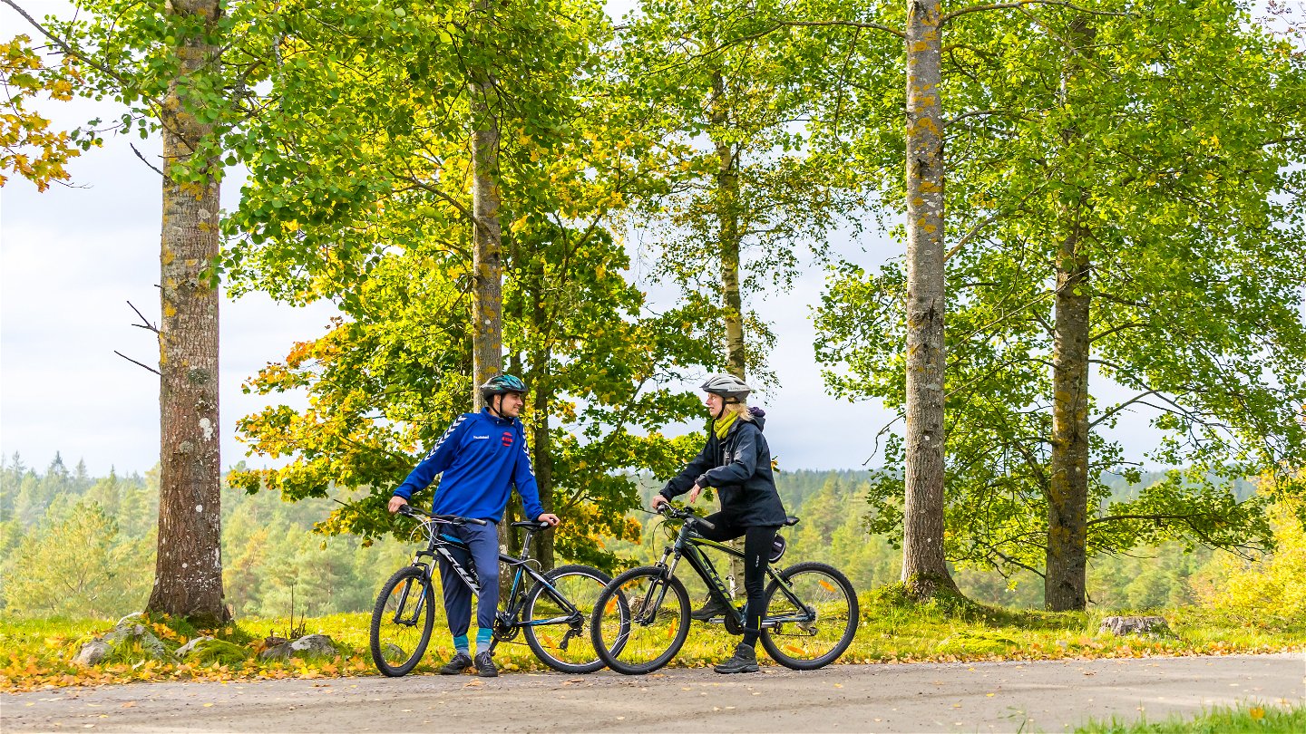
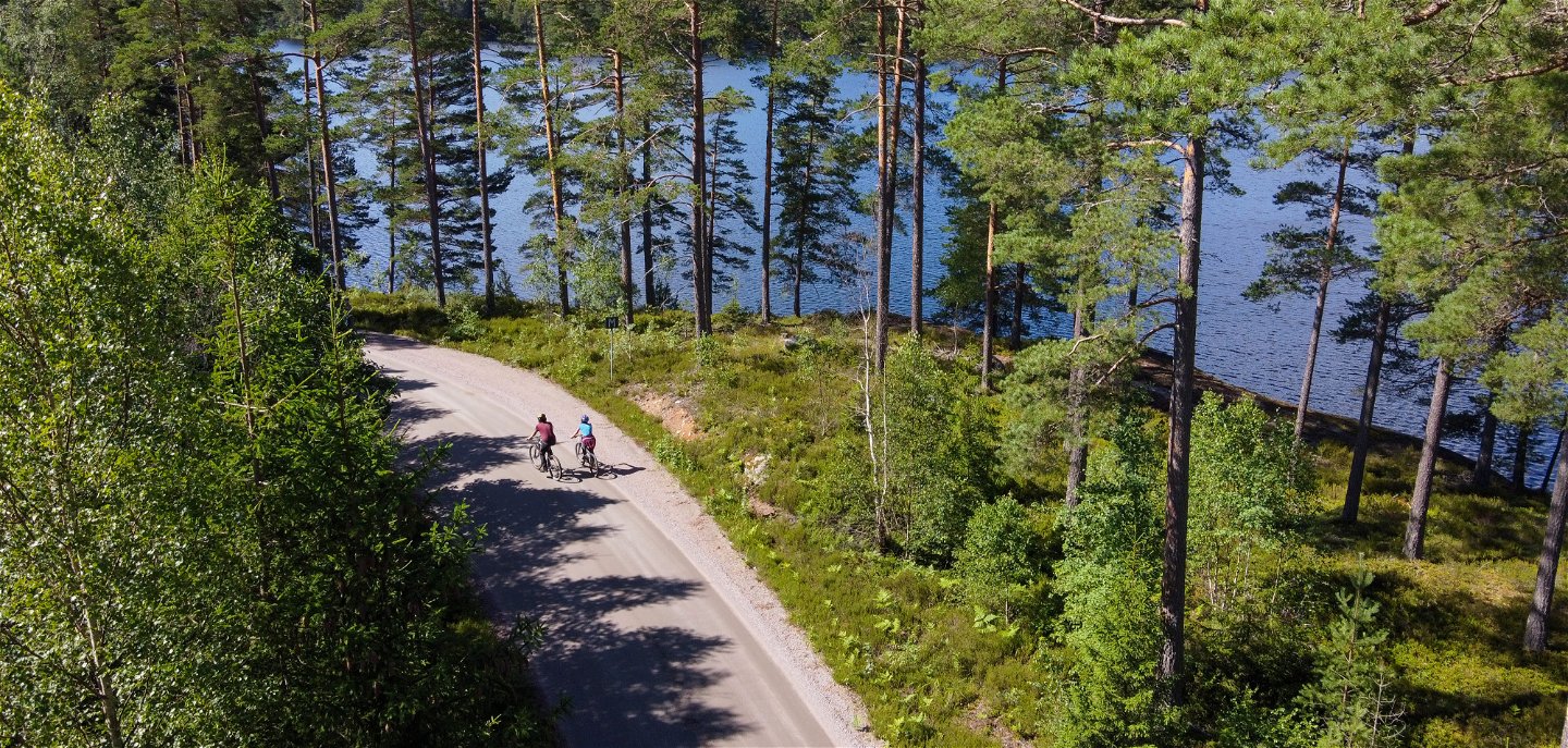
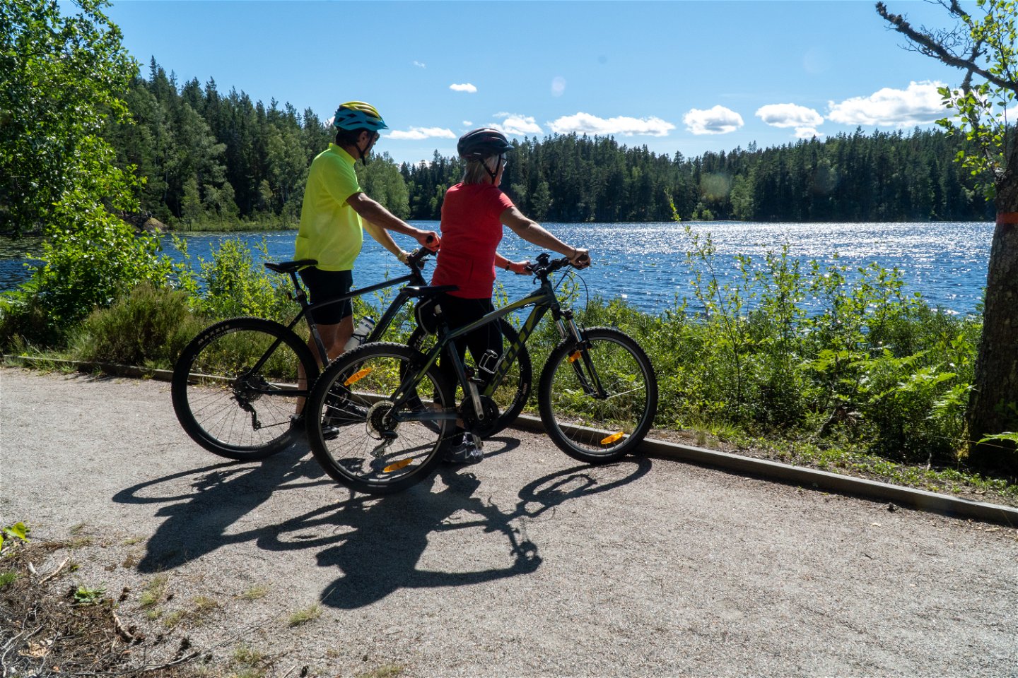
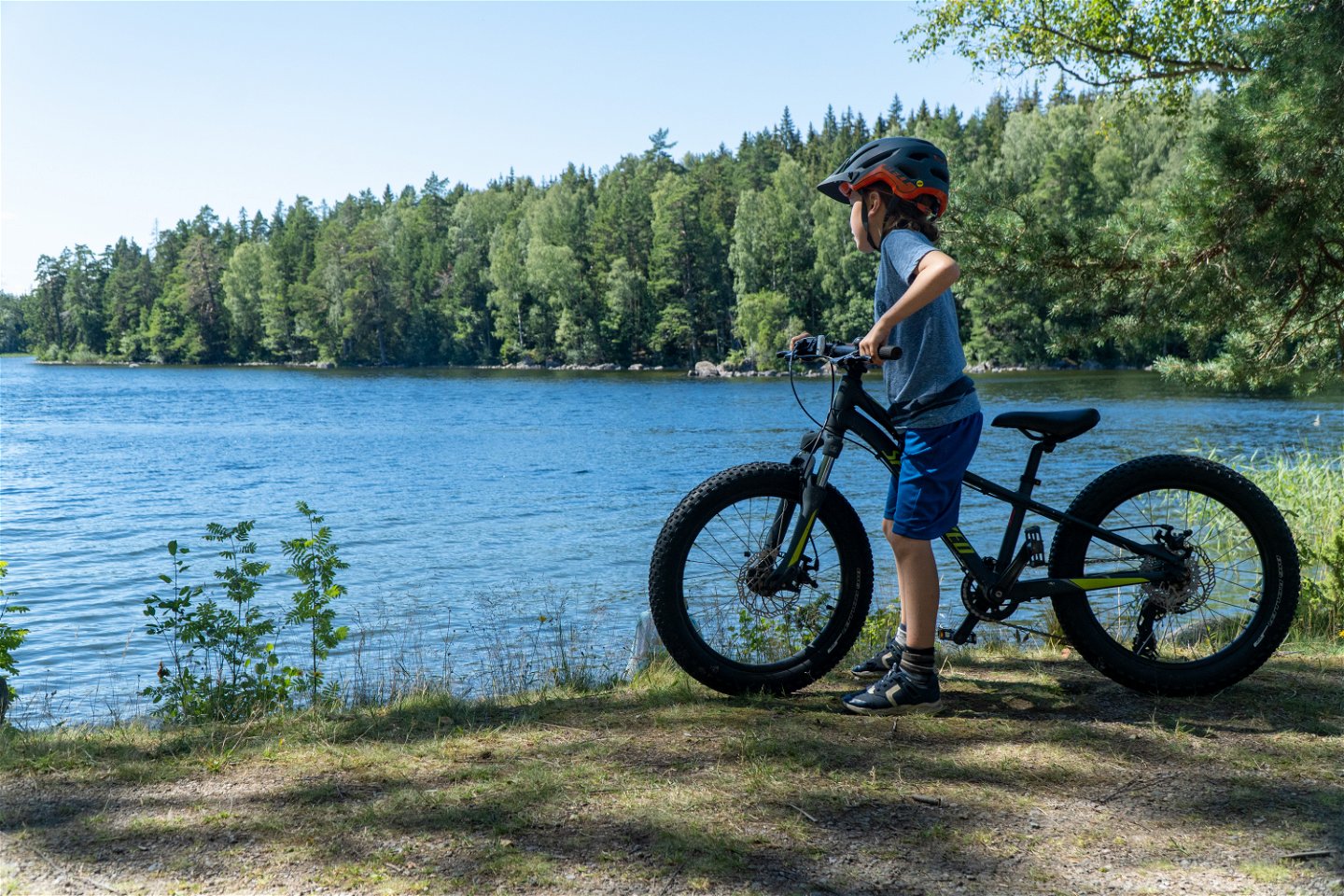
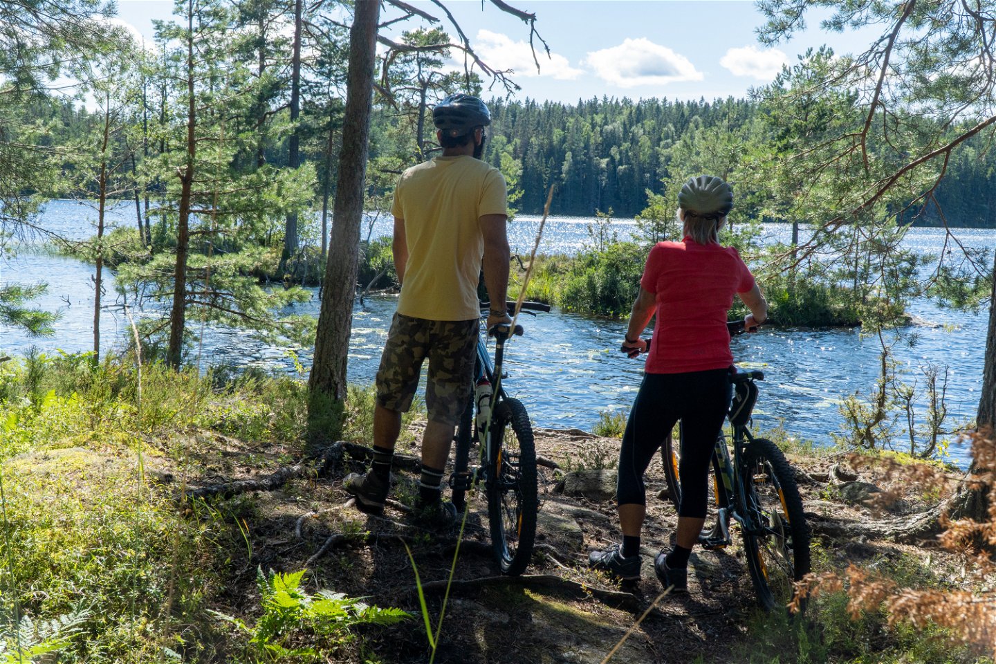
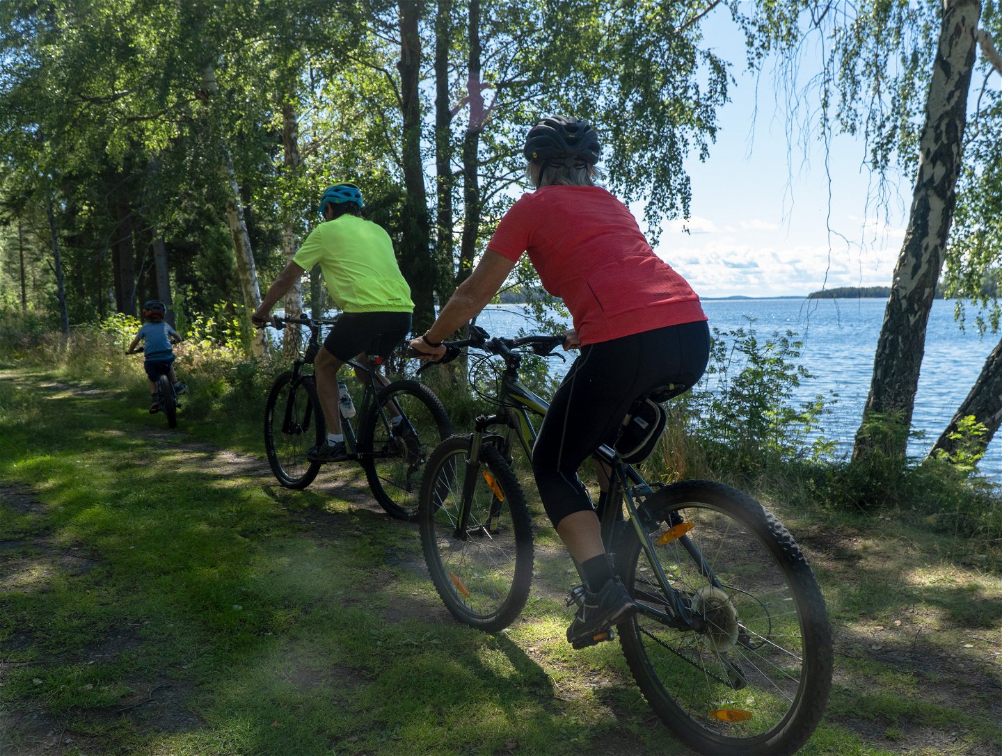
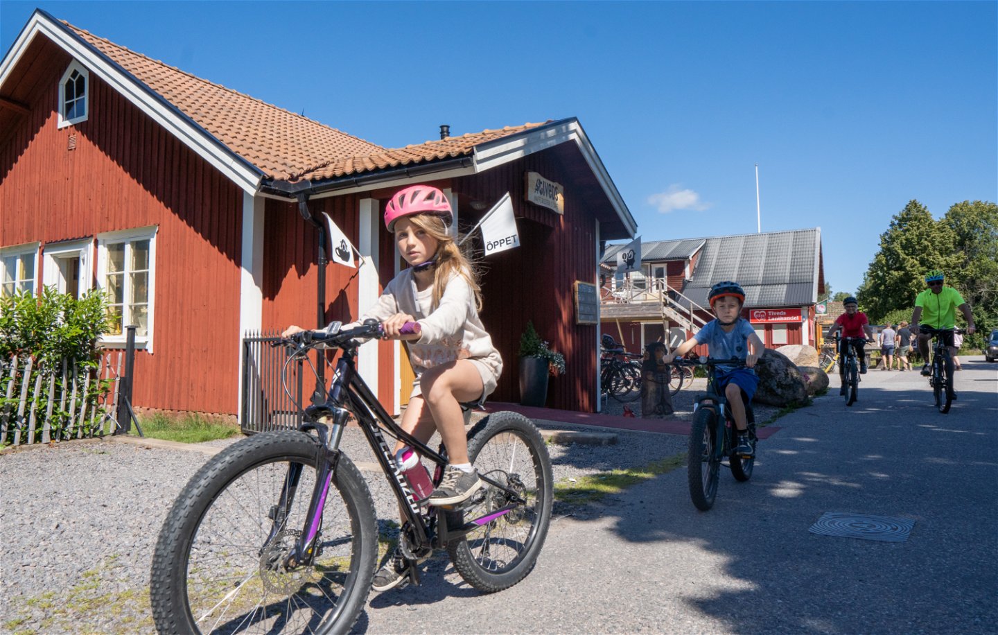
At the beginning and end of Stora Vargleden you cycle alternately on old and new country roads between Tived and Askersund. The trail between is on gravel roads towards Fagertärn Nature Reserve. Along Stora Vargleden you will find several places where inland ice has created interesting environments such as the caves at Vargaklämman and Johannes Kammare. See also a giant kettle-hole and Fagertärn lake with the red water lilies. The viewpoint and rest area are by the road. By all means stop and bathe in one of the lakes the trail passes.
Gamla landsvägen (Old Country Road)
You begin cycling on the asphalt road towards Askersund, after a while the trail veers off onto the old country road that runs parallel with the asphalt road. After a period on the old country road you cycle over a nice stone bridge, you then find yourself in Tarmslångsdalen, one of the longest and most prominent rift valleys in Tiveden. Rift valleys were formed during primeval movements in the Earth’s crust. When primordial rock surfaced the water began to seep into the cracks, which weathered and eroded wide clefts.
Bergatutterastenen
The old country road winds onward and crosses the new asphalt road in several places. Alongside this road lies Bergatutterastenen, an erratic boulder under which a little cave formed. Travelers used to throw a small stone into the cave opening to protect themselves from accidents during their onward journey.
Getaryggen
After the trail has followed the asphalt country road for a bit it swings off to the south on a gravel road towards Bosjön lake. North of this crossroads is one of Tiveden’s finest kettle holes, follow the gravel road north for circa 800 m and then the sign to the kettle hole.
Alongside Bosjön lake is Getaryggen Nature Reserve. Many lovely spring flowers grow on this cobblestone ridge. Directly south of the reserve is a great bathing area, here is where the canoe trail also starts that takes you through the lake system all the way to Lake Unden.
Läppapuss, Vargaklämman & Johannes Kammare
The trail continues on gravel roads surrounded by forest. You pass the little mossy lake Läppapuss, the lake’s surroundings are very beautiful with mighty boulders, lichen and mosses. About 500 m after Läppapuss the trail passes Värgaklämman trail, a cave that was formed by high cliffs and splits in the rock. Wolves were earlier hunted in Tiveden by driving them into caves like this. Follow the gravel road circa 1 km and you find yet another interesting cave a little into the forest. It is called Johannes Kammare and it is said that Johannes took refuge here when cholera ravaged Tiveden in the mid-1930s.
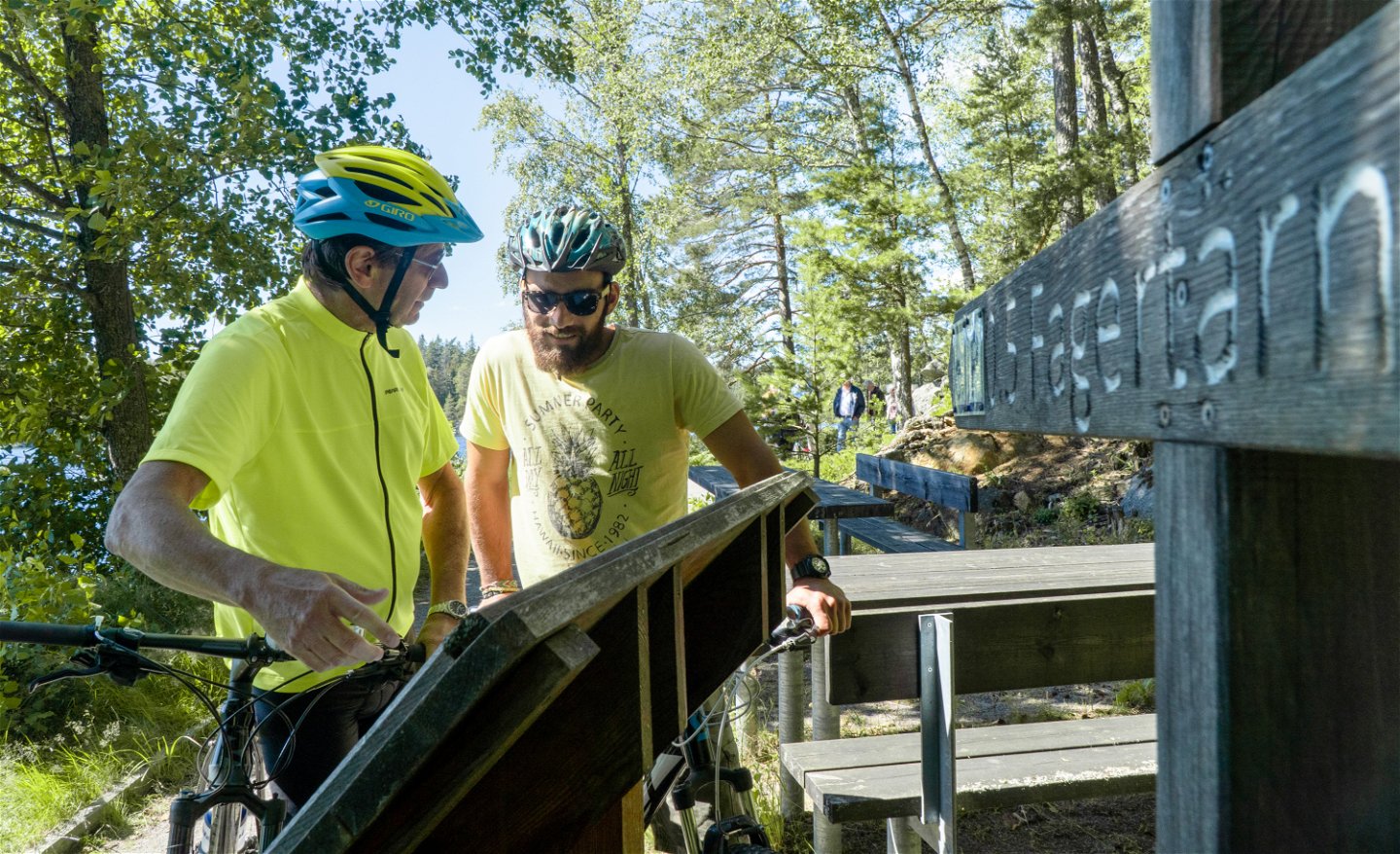
Fagertärn
Here the red waterlily was “discovered” in 1856. The red waterlily is a mutation of the white and is our country’s largest wild flower. The waterlilies were granted protection in 1905, the first legal protection in the country.
There is a nice hiking loop around the lake. Waterlilies generally bloom at the end of June-July.
After visiting the nature reserve the trail returns you home on gravel roads, you pass forest, lakes and open ground with farms. After having cycled over the bridge between two of the lakes on the canoe trail, Bosjön and Kvarnsjön, the trail goes back to Sannerud the same way as it began.
Toimintaa ja tilat
-
Pyöräily
Lataukset
Ota yhteyttä
Osoite
Har du frågor om ditt besök i Tiveden kan du ringa till telefon 010-224 86 11 där turistinformatörer från Laxå, Askersund och Karlsborg svarar på dina frågor.
Sähköpostiosoite
Laxå kommun
Organisaation logotyyppi

Huomaa, että osa näistä teksteistä on käännetty automaattisesti.
Kysymykset & vastaukset (Q&A)
Esitä kysymys muille Naturkartan-käyttäjille.


