

Fakta om Bergslagsleden
Bergslagsleden är en 28 mil lång vandringsled genom hela Örebro län. Den är uppdelad i…


Vaellusreitit
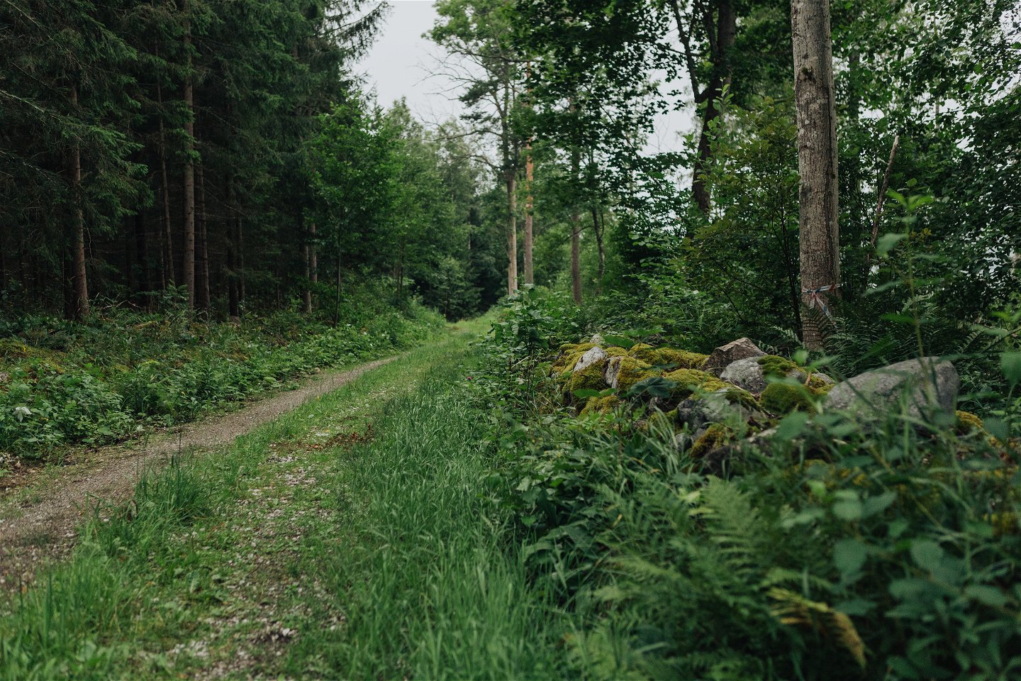
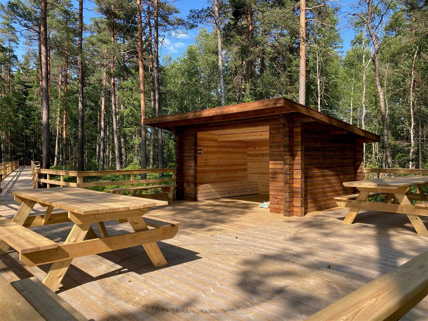
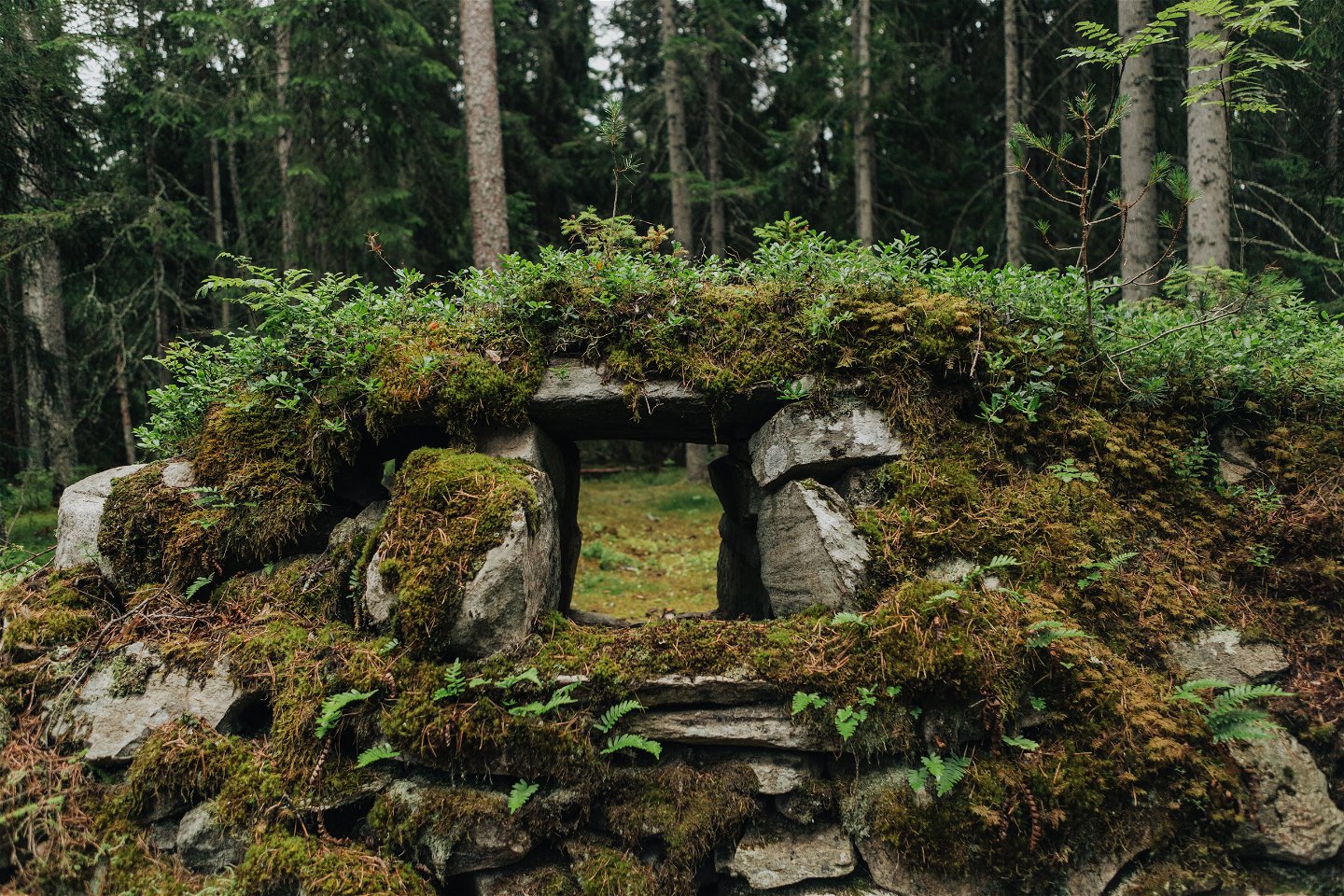
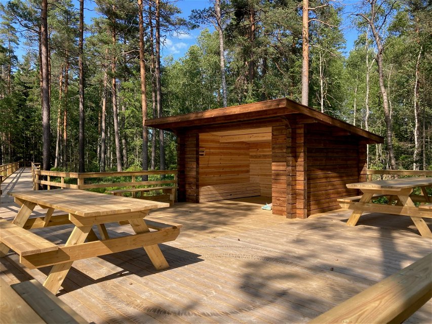
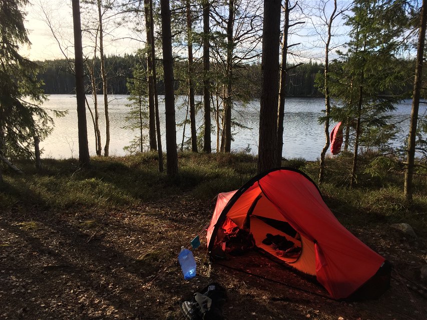
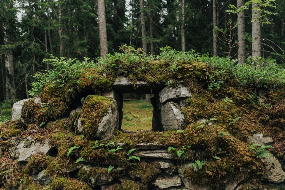
This stage takes you along paths once used by miners and peasants when they made their way to church. At Södra Brunnsjön, a number of mysterious ruins are waiting to be explored, and the lakeside beach will almost certainly tempt you to take a refreshing dip. The trail includes the 10,000-year-old shingle embankments and the remains of a canal in the heart of the forest. At the southern end of the stage is Hyttfallet, which was of major importance in the development of iron processing throughout the whole of Nora Bergslag. Our resting place is at the St. Gålsjön lake, or Storsjön as it is also known, which has a wind shelter, fireplace and toilet.
Vaellusreitit
Length: 18 km
Time: 5 h
Difficulty level: 2
Activities: Swimming, canoeing, cycling
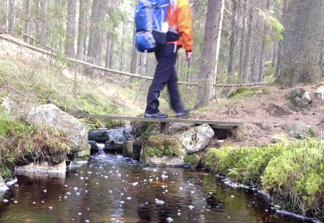
Surface: Forest road and forest path. At the stage goal Hammarby you will find the nature reserve Järleån. Altitude: 165 m above sea level
**Fresh water is available at the main building in Uskavi. At Hammarby bygdegård there is an outdoor tap for refilling fresh water. Instructions from Bygdegården: Do not pull too hard when turning off the water. Pull until it starts to take and wait a while to see that the water has stopped flowing. Tip.
Residences:
The stage has no bus connection but it is possible to order local traffic from Nora or Lindesberg.
https://www.lanstrafiken.se/reseplanering/flextrafik-och-nartrafik/nartrafik-i-orebro-lan/
Johan Karlström
![]()
Huomaa, että osa näistä teksteistä on käännetty automaattisesti.
Esitä kysymys muille Naturkartan-käyttäjille.
Bergslagsleden är en 28 mil lång vandringsled genom hela Örebro län. Den är uppdelad i…
Graderingen är anpassad för svenska låglandsleder som följer de kvalitetskriterier som tagits fram av det…
