Rödmarkerad led Staffanstorp
Pyörösilmukka
- Kunta: Östergötlands län
- 6641.75 km päässä sinusta
Polun yksityiskohdat
- Pituus 1.9 km
Toiminnot
Kuvaus
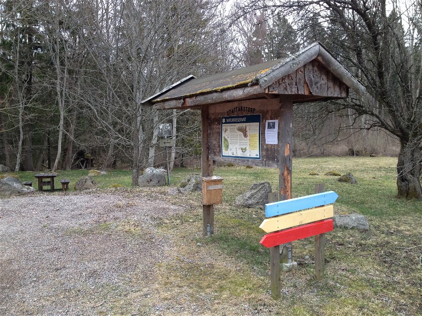
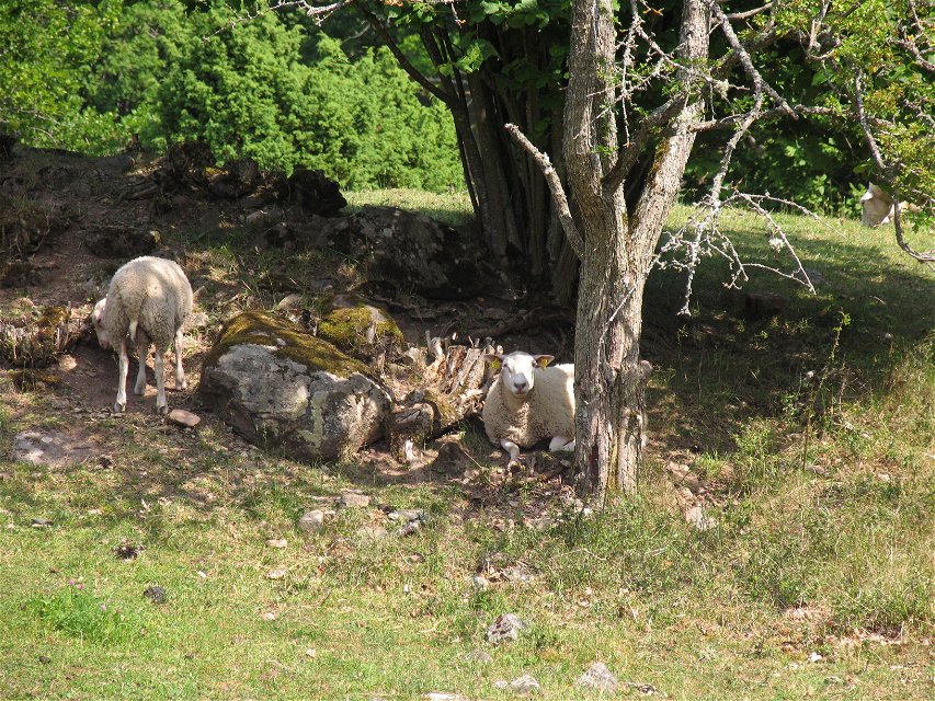
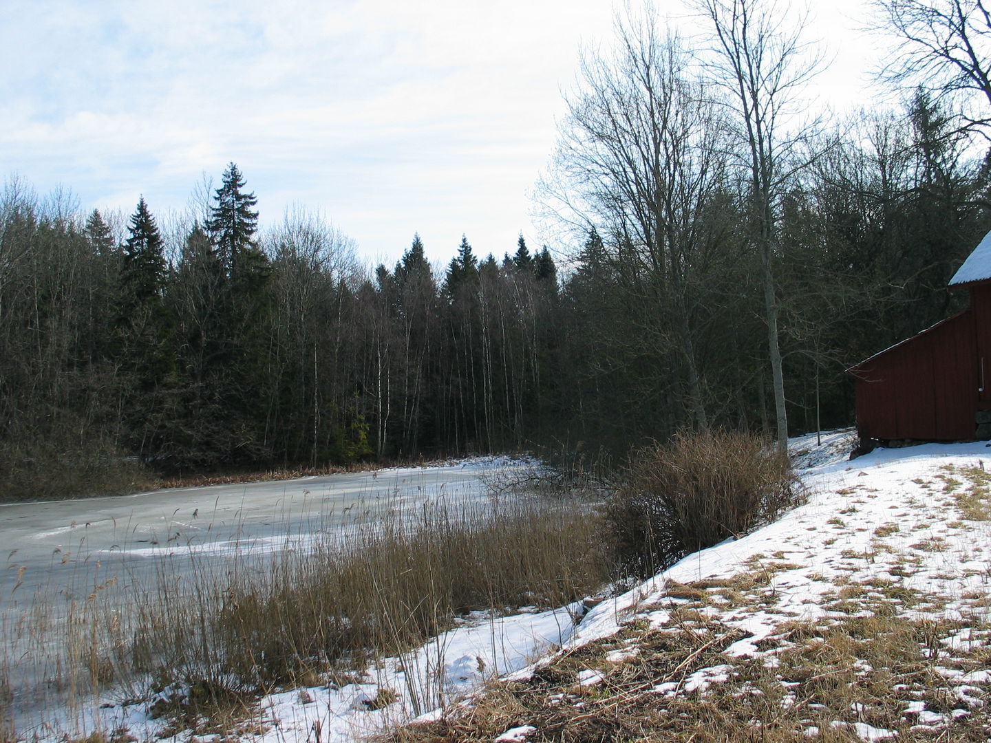
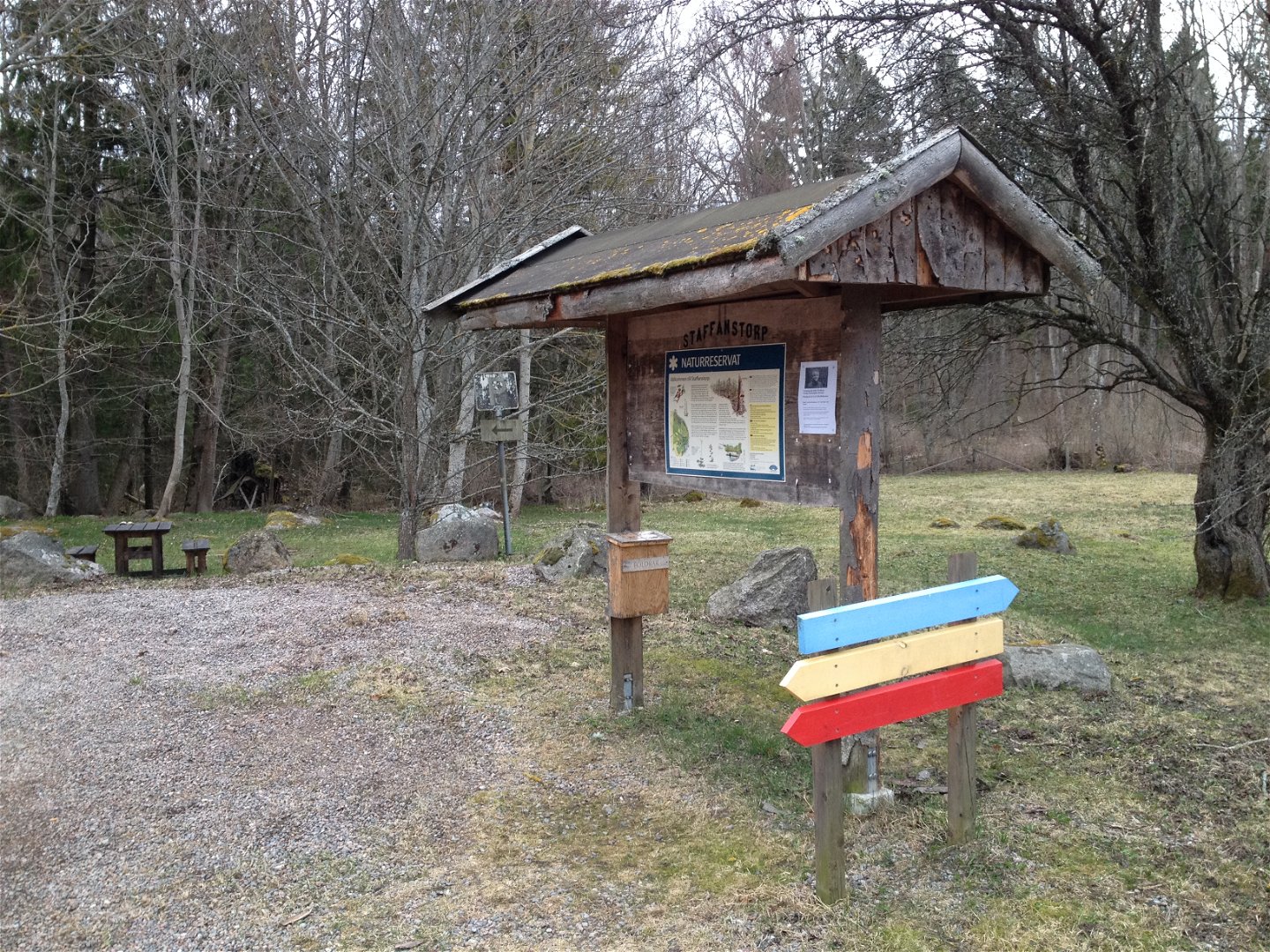
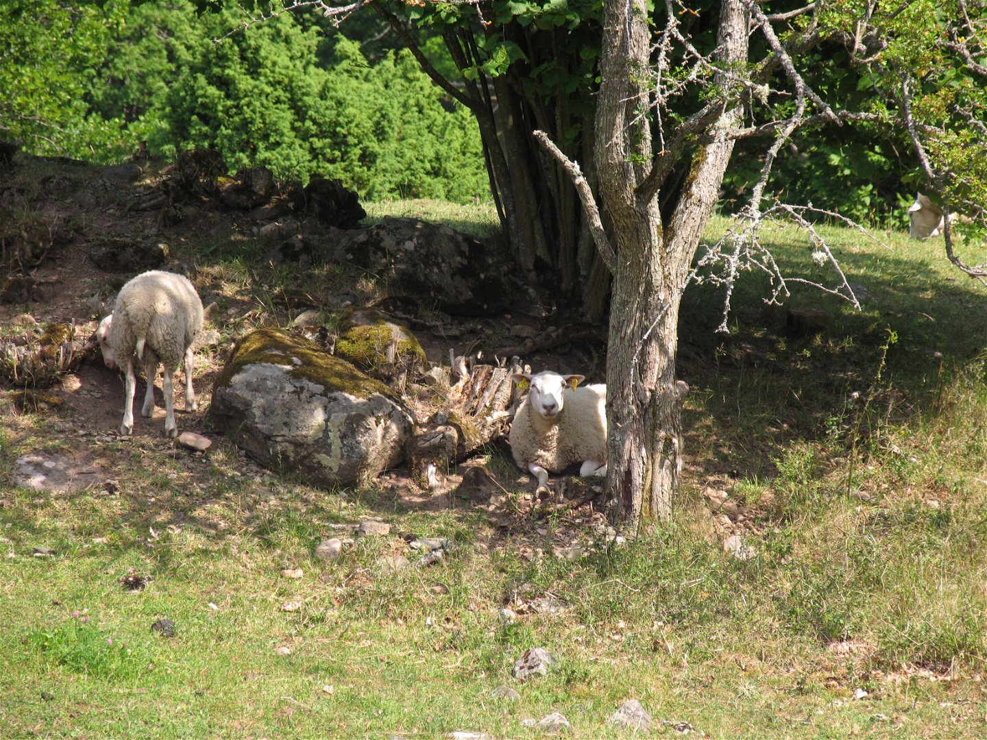
In Staffanstorps nature reserve, well-trodden paths lead the way through herb-rich spruce forest, sheep-grazed dry slopes, past marshes and lakes. The dead ice landscape in the reserve was formed during the last ice age. The hilly terrain and the calcareous moraine create conditions for the area's different vegetation types.
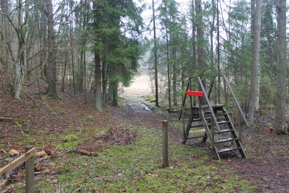
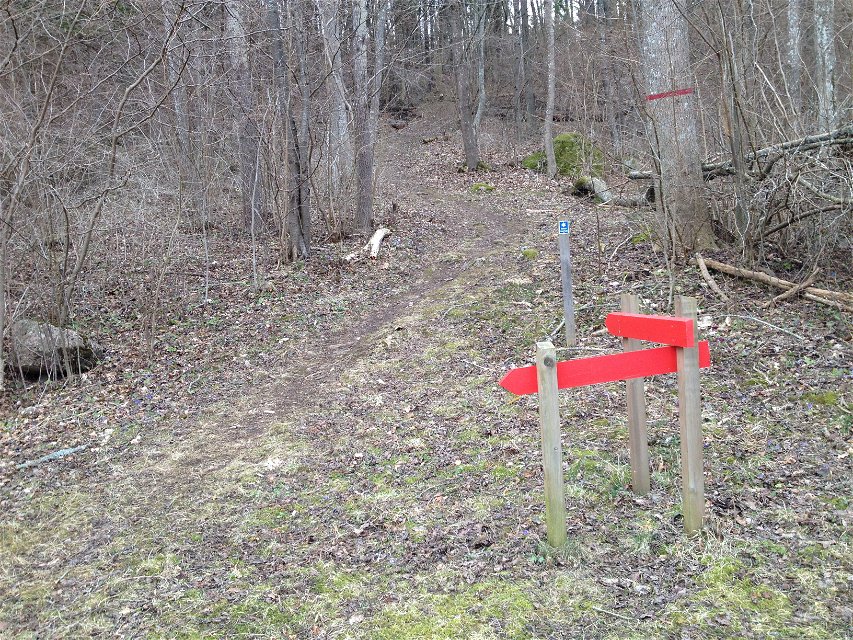
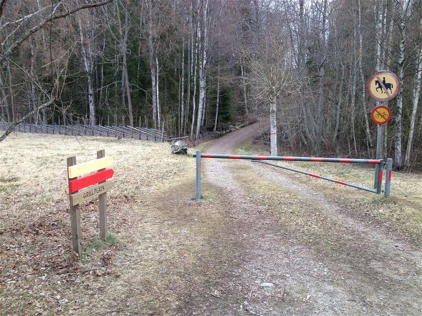
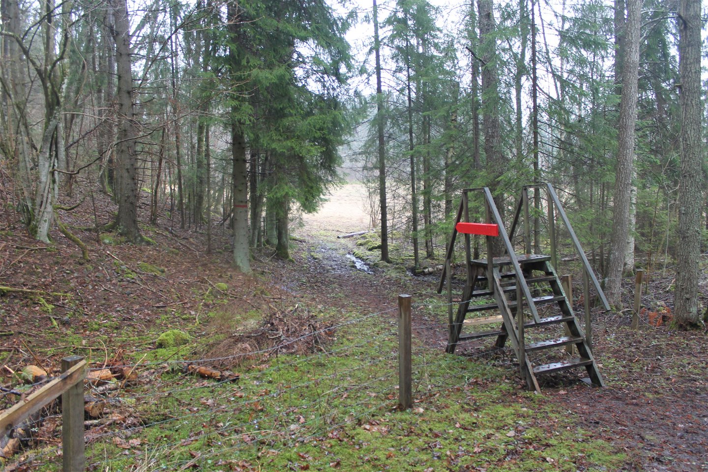
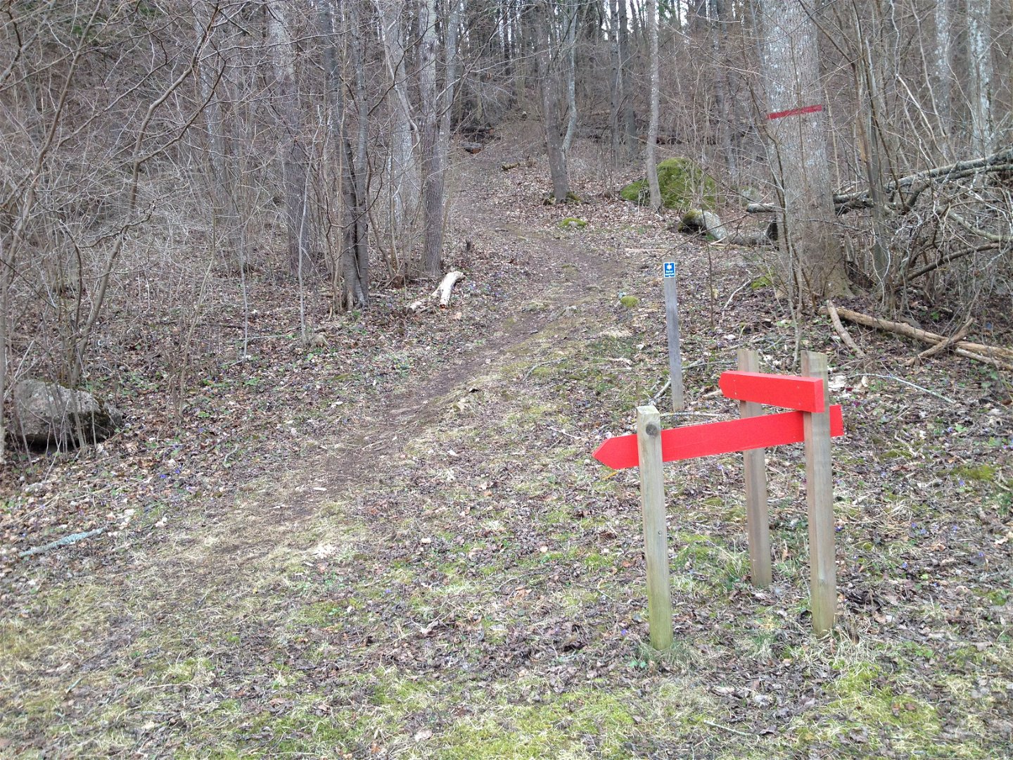
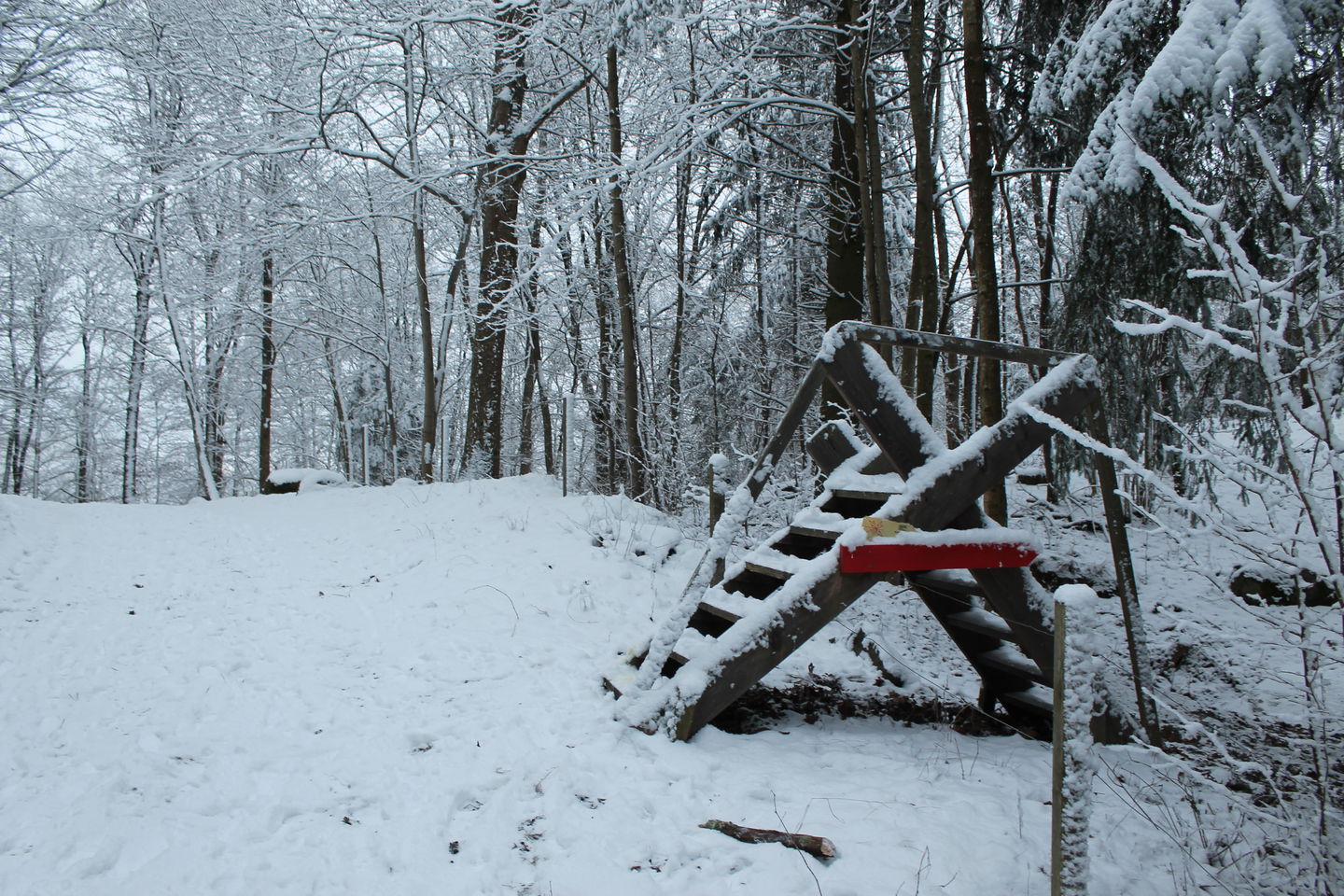
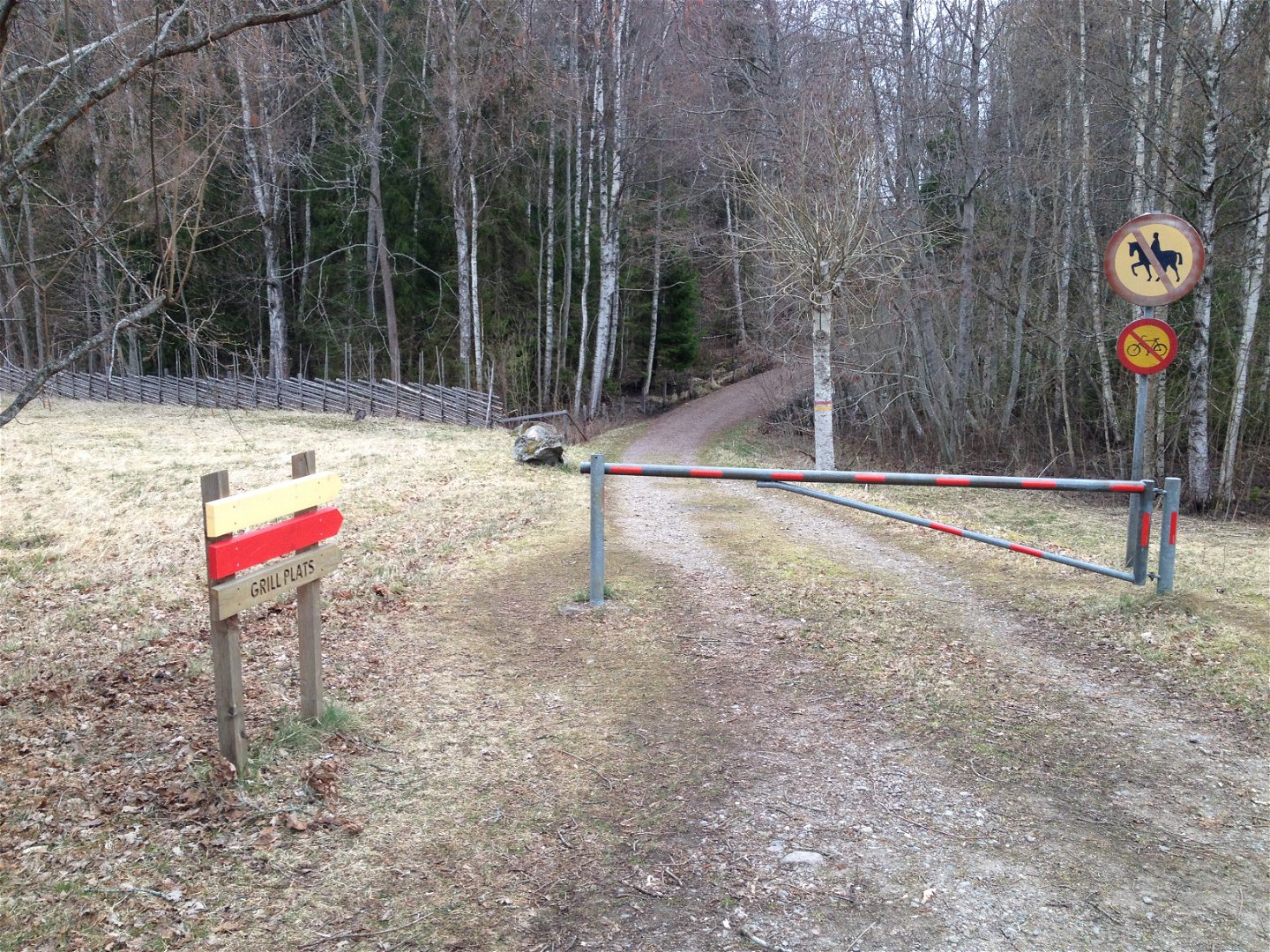
The red and longest trail leads you through a varied landscape past lakes, marshes, open pastures and forests. The western part, in the forest, is hilly with some parts that can be quite steep.
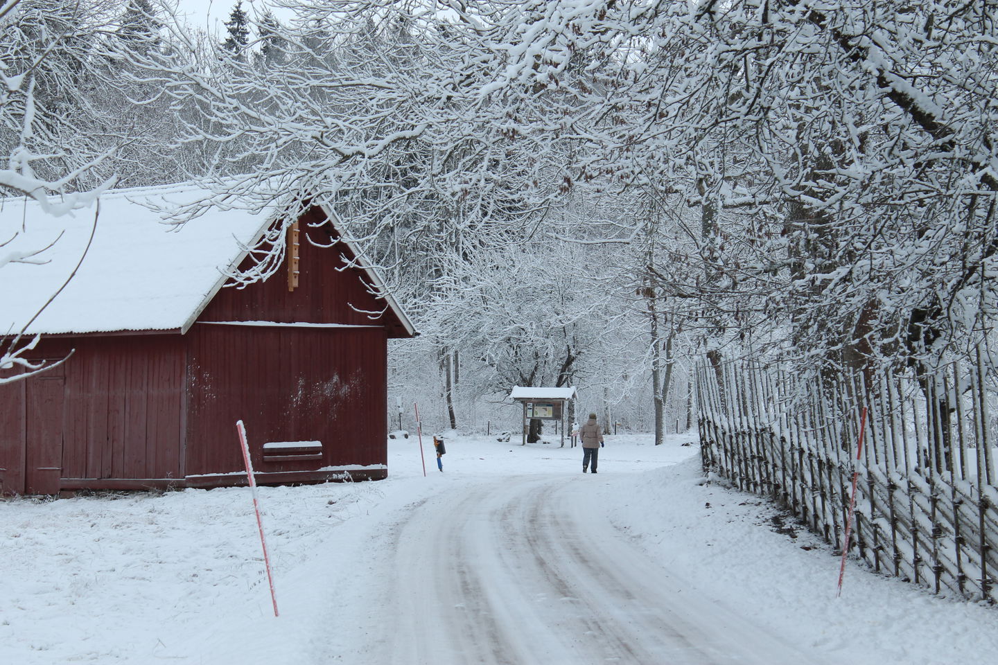
At the visitor barn in Staffanstorp nature reserve, there is an accessible toilet and firesite. The nature reserve is managed by Motala municipality.
Toimintaa ja tilat
-
Vaellusreitit
-
Kävely
-
Pyörösilmukka
Saavutettavuus
-
Lähellä pysäköintipaikkaa
-
Lähellä wc:tä
Ota yhteyttä
Osoite
Kontakta mig om du har frågor om Motalas Naturkarta.
Sähköpostiosoite
Hilda-Linn Berglund
Organisaation logotyyppi

Huomaa, että osa näistä teksteistä on käännetty automaattisesti.
Kysymykset & vastaukset (Q&A)
Esitä kysymys muille Naturkartan-käyttäjille.


