

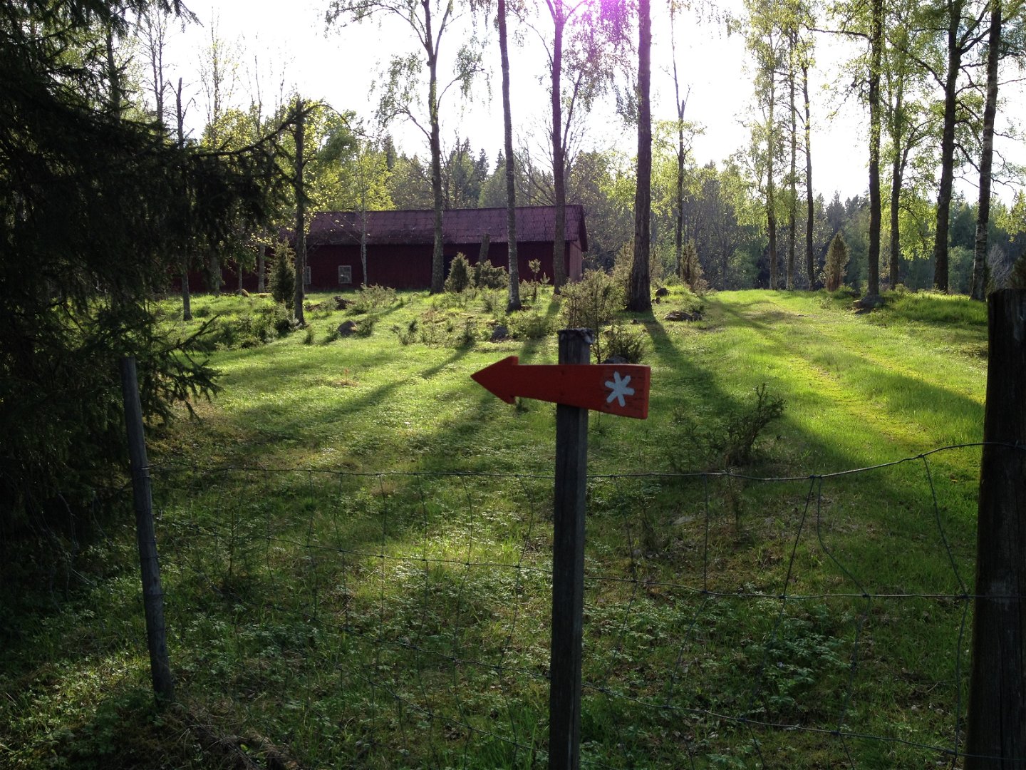
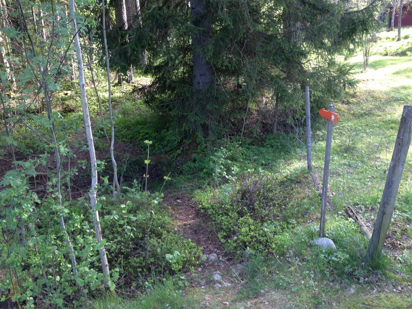


Vandringsled i Trolleflod
Vaellusreitit
- Kunta: Östergötlands län
- 6733.01 km päässä sinusta
Polun yksityiskohdat
- Pituus 2.1 km
Toiminnot
Kuvaus
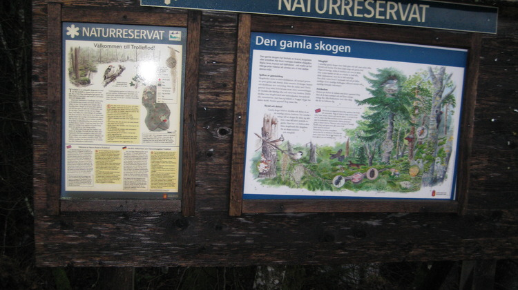
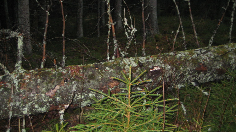
In Trollflods nature reserve you find a marked hiking trail with two different routes, the longer one is about 2 km. The hiking trail passes three coal bottoms and an old fireplace wall. The coal bottoms appear as ring-shaped ridges in the ground and are remnants from the time when charcoal was produced in the area.
The nature reserve is managed by Länsstyrelsen Östergötland.
Toimintaa ja tilat
-
Vaellusreitit
-
 Rundslinga
Saavutettavuus
-
 Nära parkering
Reittiohjeet
Follow road 211 north out of Tjällmo. Turn left on road 51. The reserve is adjacent to road 51
Ota yhteyttä
Osoite
Kontakta mig om du har frågor om Motalas Naturkarta.
Sähköpostiosoite
Hilda-Linn Berglund
Organisaation logotyyppi
![]()
Huomaa, että osa näistä teksteistä on käännetty automaattisesti.
Kysymykset & vastaukset (Q&A)
Esitä kysymys muille Naturkartan-käyttäjille.
