-

Paola Noordh/Trosa turistcenter
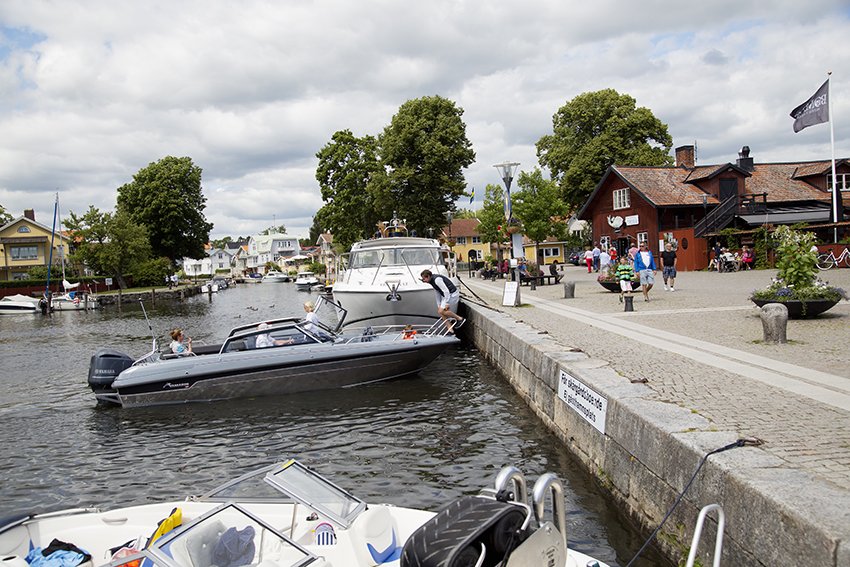

Hjärtats stig i Trosa
Kävely
- Kunta: Södermanlands län
- 6725.82 km päässä sinusta
Polun yksityiskohdat
- Pituus 11.5 km
Toiminnot
Kuvaus
Hiking is exciting, relaxing and good for your health!
The walk is marked with small signs, but the easiest way is to take a map and go out on the route.
The initial walkway initiative came from the health center where a doctor would use "exercise on prescription" or physical activity on prescription as it is also called. The idea is to be able to prescribe a certain walking distance with certain intervals. You can therefore make full use of the measured route distances on the map.
We have had problems with damage to the posted signs, which means that there may be some missing. Therefore, we recommend taking the map leaflet until you learn the routes and distances.
Toimintaa ja tilat
-
Kävely
-
 Pyörösilmukka
Ota yhteyttä
Sähköpostiosoite
Trosa kommuns turistcenter
Organisaation logotyyppi
![]()
Huomaa, että osa näistä teksteistä on käännetty automaattisesti.
Kysymykset & vastaukset (Q&A)
Esitä kysymys muille Naturkartan-käyttäjille.
