-
Skogarna i Farstanäs och Yttereneby naturreservat har höga naturvärden. De är lummiga och rika på svamp och bär. -

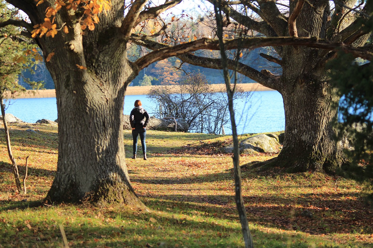
Lugn i själen, ro i sinnet på Kärleksudden i Yttereneby naturreservat. -

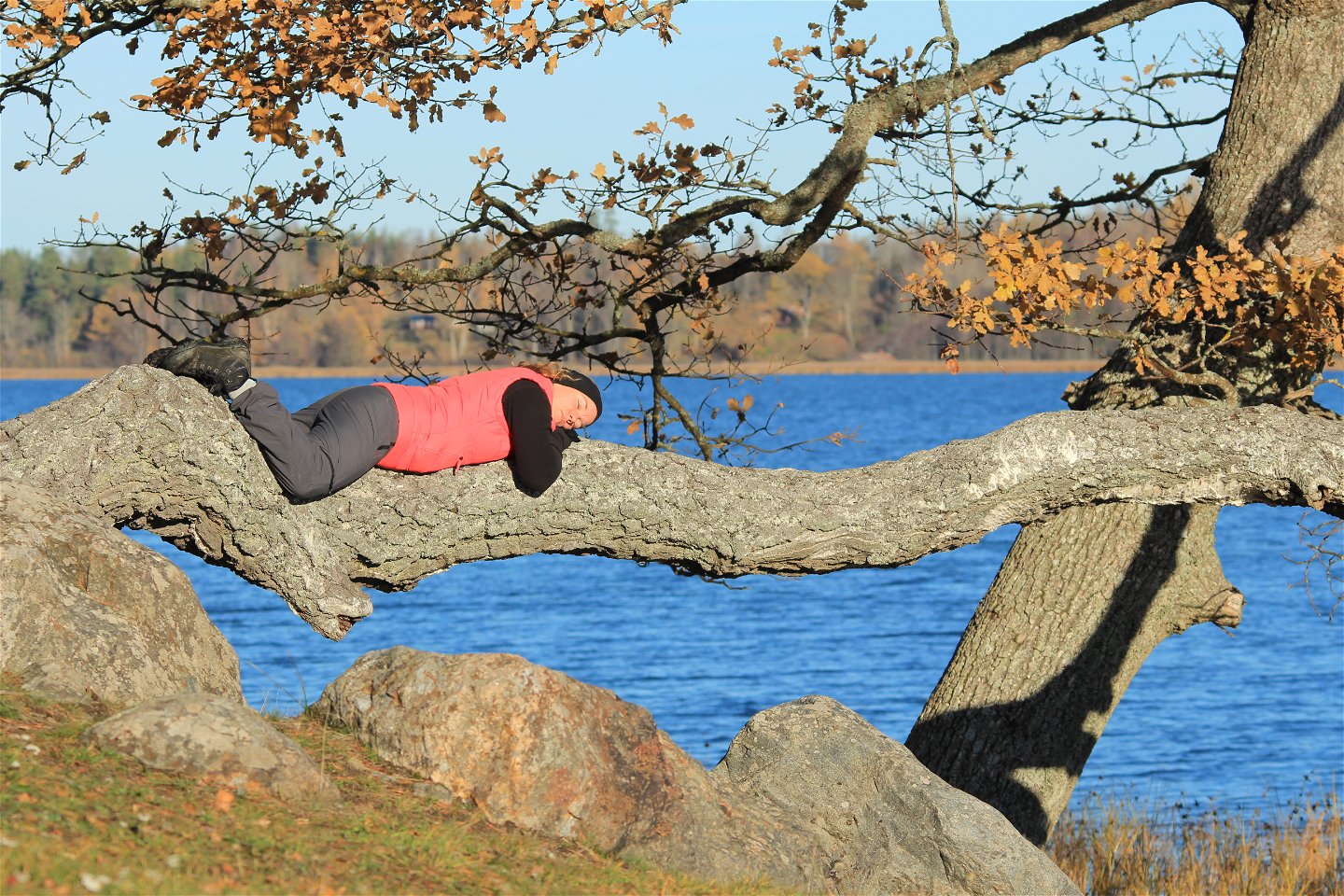
Låt dig förtrollas av ekarnas mäktiga stammar och kronor i Yttereneby naturreservat. -

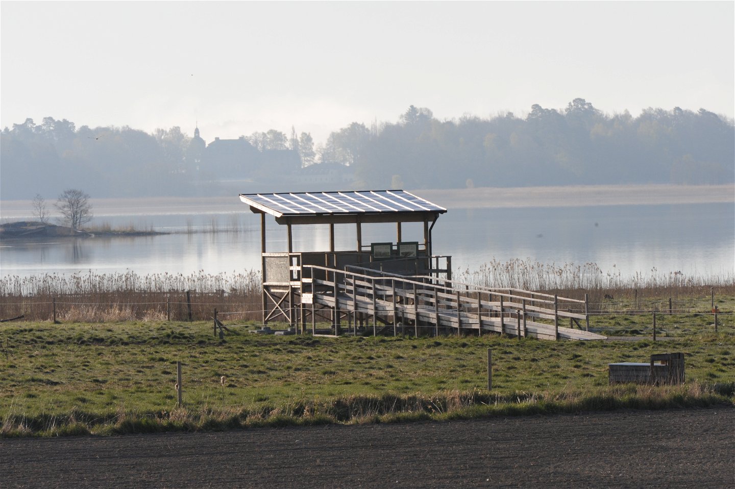
Från fågeltornet vid Pilkrogsviken kan du skåda fågel i vassmiljöer och på betade strandängar. -
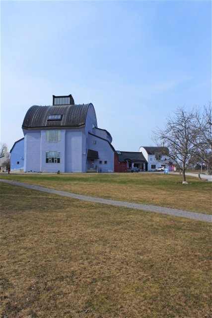
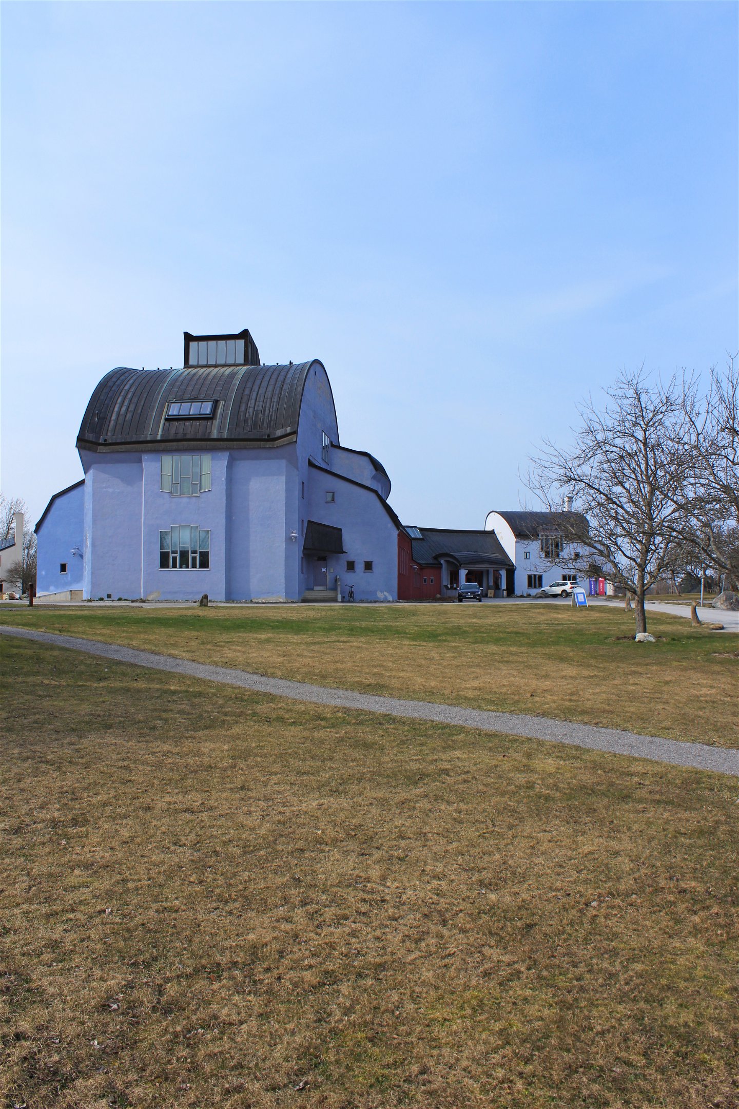
Ytterjärna kulturcentrum bjuder på ett ekologiskt, biodynamiskt odlingslandskap med spännande antroposofisk arkitektur. -
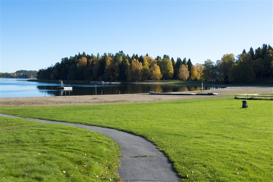
I Farstanäs naturreservat kan du bada vid en välskött och mycket populär sandstrand.
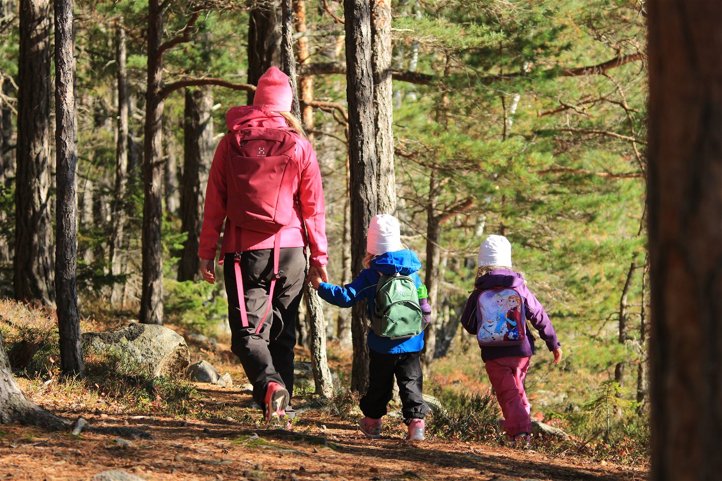
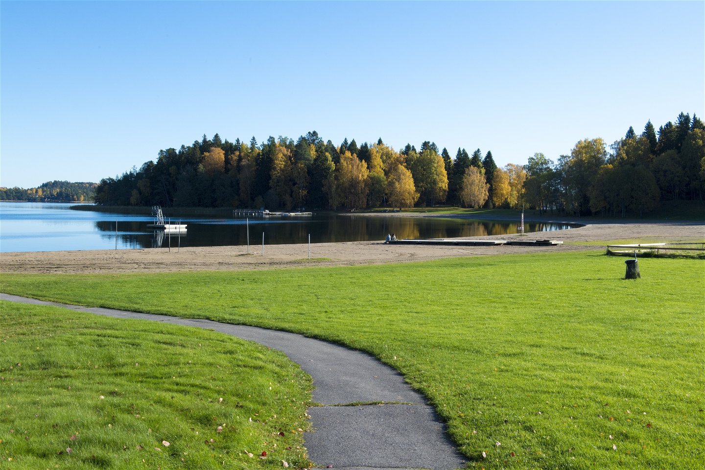

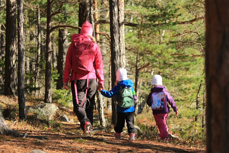
Kustleden - Södertäljes kust
Vaellusreitit
- Kunta: Stockholms län
- 6828.63 km päässä sinusta
Polun yksityiskohdat
- Pituus 12.0 km
Toiminnot
Kuvaus
Kustleden is a 12 kilometer (7,5 miles) long coastal trail from Farstanäs nature reserve to Yttereneby nature reserve. Along the way you pass by Pilkrogsviken, Ytterjärna kyrka and Ytterjärna cultural center. Follow the blue and white, diamond shaped marks over hilly terrain through pastures, forests and ecological gardens and farms. Fika and public toilets are available at Farstanäs during the summer and at Ytterjärna cultural center. A bonfire area with complimentary firewood is situated in Yttereneby nature reserve.

Toimintaa ja tilat
-
Vaellusreitit
-
 Löpning
-
 Trailrunning
Saavutettavuus
-
 Nära parkering
-
 Nära kollektivtrafik
Pysäköinti
You can park your car at Farstanäs camping (subject to a charge), Farstanäs naturreservat, Pilkrogsviken and Ytterjärna cultural center.
Reittiohjeet
There are many ways to get to Kustleden. The closest bus stops are ”Solåkrabyn” (1,5 km from Farstanäs camping), ”Pilkrog”, ”Stensta” (1 km from Ytterjärna cultural center, the reception), ”Yttereneby” (1,5 km from Yttereneby nature reserve).
Ota yhteyttä
Sähköpostiosoite
Södertälje kommun
Organisaation logotyyppi
![]()
Huomaa, että osa näistä teksteistä on käännetty automaattisesti.
Kysymykset & vastaukset (Q&A)
Esitä kysymys muille Naturkartan-käyttäjille.
