Vandringsstig anslutning till Värmdöleden, Stickelsberg
Vaellusreitit
- Kunta: Stockholms län
- 6862.84 km päässä sinusta
Polun yksityiskohdat
- Pituus 0.9 km
Toiminnot
Kuvaus
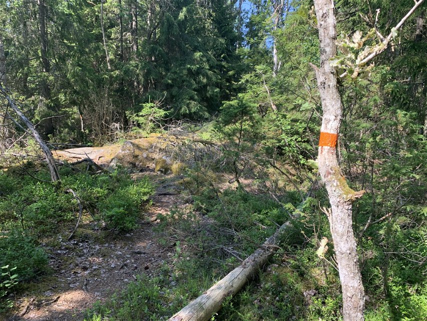
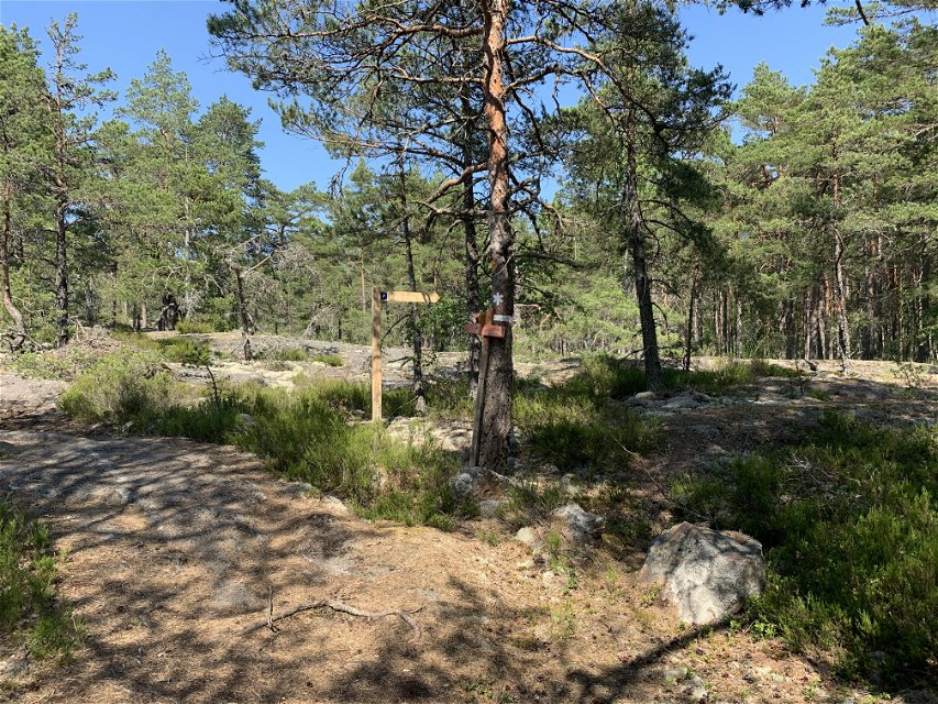
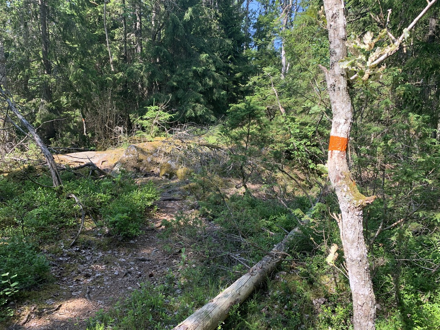
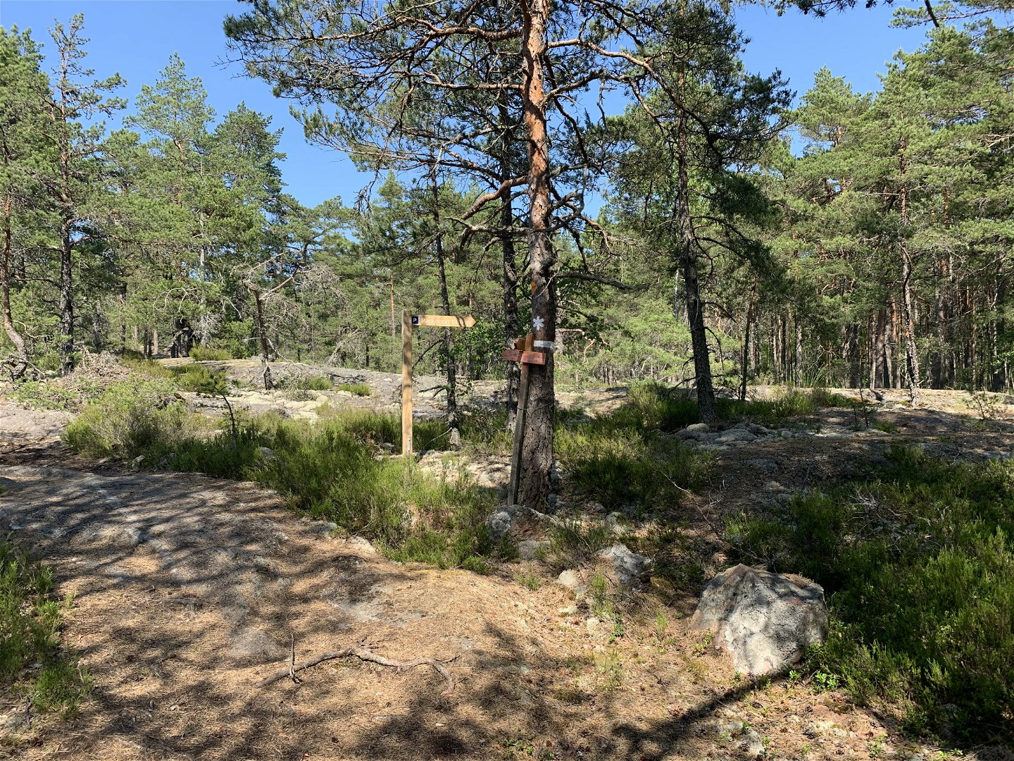
This is a 800 m trail through Stickelsberg nature reserve that connects to the Värmdöleden trail from the reserve entrance at Skärmarö. The trail is marked in orange. Signposts mark the trailheads at the reserve entrance at Skärmarö and at the connection with the Värmdöleden trail.
Toimintaa ja tilat
-
Vaellusreitit
Reittiohjeet
The Stickelsberg nature reserve is located in Värmdölandet, 12 km east of Gustavsberg.
** By foot:** Hike into the reserve via the Värmdöleden trail. There is a connecting trail between the Värmdöleden trail and the parking lot at Skärmarö. From there, walk 600 m to the nearest bus stop, Kvarnkammarvägen.
** By bus:** Take a bus from Slussen. The nearest bus stop is Kvarnkammarvägen, then walk 600 m to the parking lot and reserve entrance at Skärmarö. Current bus lines and timetables can be found at SL: [sl.se] (http://sl.se)
** By car:** There is a visitor parking lot at the Skärmarö recreational area.
Asetukset
In order to protect the Stickelsberg nature reserve, please respect the following rules.
Within the reserve, it is forbidden to:
- dig, cut, drill, carve, paint or in any other way damage rock, soil or stone,
- fell or damage living or dead trees or bushes,
- damage vegetation by digging up plants or by removing mosses, lichens or fungi living on wood,
- put up posters, signs or similar or make inscriptions,
- bring unleashed dogs,
- camp for more than two consecutive nights in the same place,
- ride horses outside of existing forest roads.
Ota yhteyttä
Sähköpostiosoite
Länsstyrelsen i Stockholm
Organisaation logotyyppi

Huomaa, että osa näistä teksteistä on käännetty automaattisesti.
Kysymykset & vastaukset (Q&A)
Esitä kysymys muille Naturkartan-käyttäjille.


