Upplandsleden, etapp 13, Risön–Lövstabruk (Vikingaleden, etapp 9)
Vaellusreitit
- Kunta: Uppsala län
- 6879.76 km päässä sinusta
Polun yksityiskohdat
- Pituus 16.5 km
Toiminnot
Kuvaus
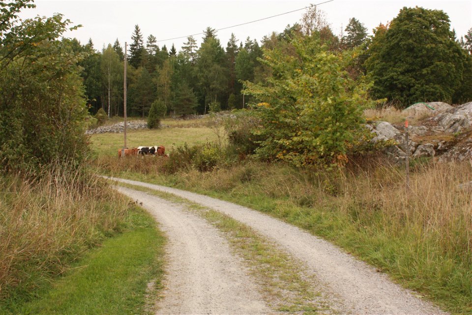
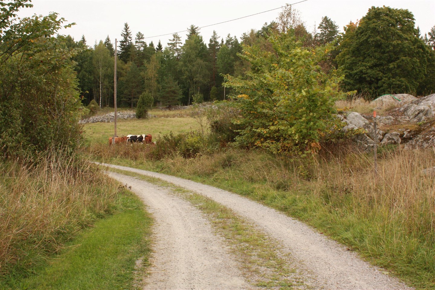
Section 13 begins at farm/rest spot Risön in the northern part of nature reserve Florarna, and ends in the small mill village of Lövstabruk. The trail follows a gravel road for 1.5 kilometres before turning onto a forest path that takes you to the Lake Finnsjön. Along the shore, you’ll find lots of spots where you can go for a swim. Just after the rest spot at the northern part of the Lake Finnsjön, the trail leaves the path, and follows the gravel road again for 3 kilometres, through forests and past occasional houses and farms. At the Nybron Bridge, the trail turns onto an old railway embankment. After 2.5 kilometres of walking through the forest, you’ll get back onto the road. Now, there are just a few kilometres left to the end of the section, at the other side of road 76. Beyond the swimming spot at Lövstabruk are the village’s old tied homes and manor. Lövstabruk has an inn, accommodation and a beach.
Difficulty level: Easy, mostly different kinds of roads, a few kilometres on forest paths.
Toimintaa ja tilat
-
Vaellusreitit
Pinta
Mostly hiking along different types of roads. A few kilometers along easy forest paths.
Pysäköinti
Parking is available at Risön in Florarna, and at Barnens bruk in Lövstabruk.
Viestintä
From Lövstabruk there is a bus to Tierp from where you can continue with the Upptåget. The stop at the end of the stage is called Lövstabruk herrgården.
Reittiohjeet
Risön is located in the northern part of Florarnas nature reserve. Take road 76 to Lövstabruk and from there follow the signs to Örbyhus. After 6 km there is a sign for Florarna and Risön.
Lövstabruk is located along road 76, one mile south of Skärplinge. In the northern part of the community there is a parking lot at Barnens bruk.
Ota yhteyttä
Sähköpostiosoite
Upplandsstiftelsen
Organisaation logotyyppi

Huomaa, että osa näistä teksteistä on käännetty automaattisesti.
Kysymykset & vastaukset (Q&A)
Esitä kysymys muille Naturkartan-käyttäjille.


