Upplandsleden, etapp 2, Nyby–Fjällnora
Vaellusreitit
- Kunta: Uppsala län
- 6795.8 km päässä sinusta
Polun yksityiskohdat
- Pituus 17.1 km
Toiminnot
Kuvaus
Section 2 takes you from the parking area by Nyby on the outskirts of nature reserve Norra Lunsen to popular recreation area Fjällnora. There are many places and buildings along the way that tell of the area’s long history, such as the Mora Äng Meadow, Lagga Church, and the rune stones at Kasby.
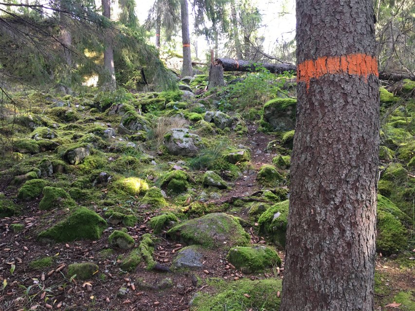
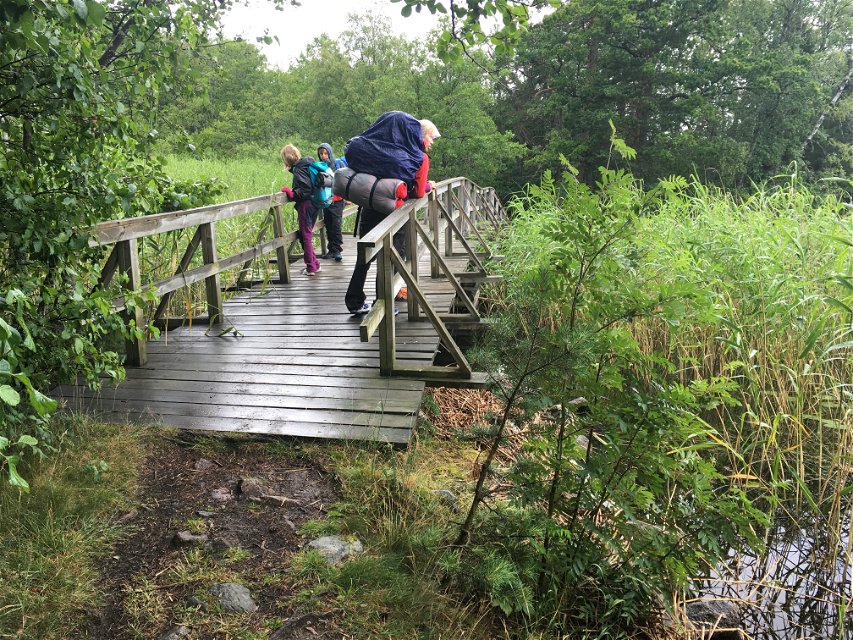
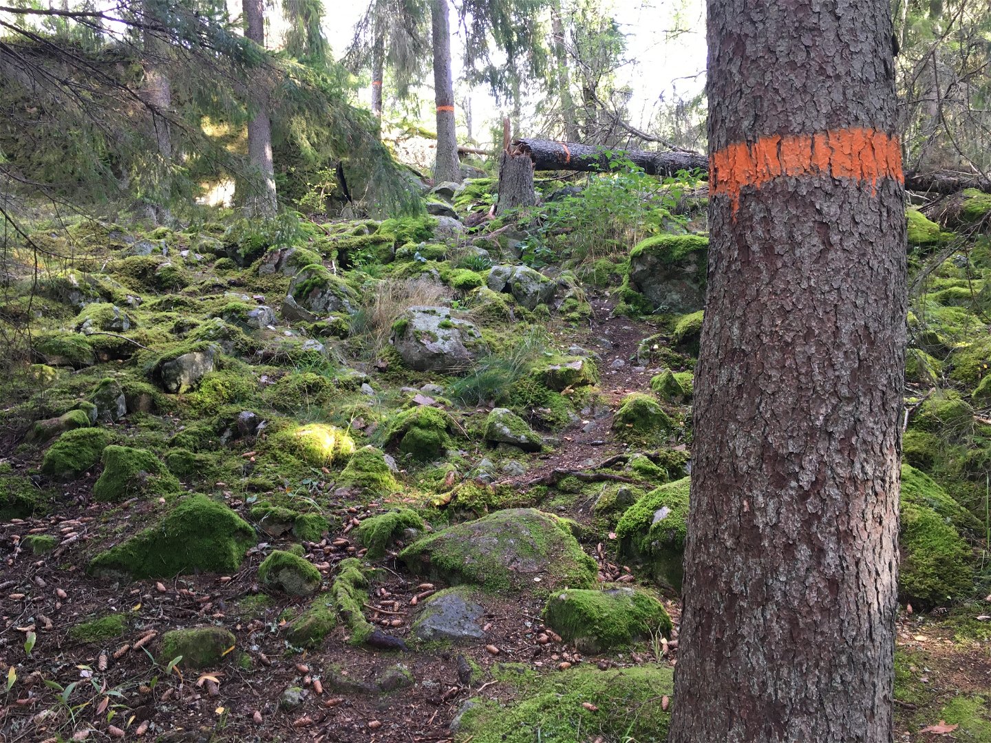
For the first 7 kilometres, the trail follows a country road, first surrounded by forests and farms, and then through the valley of the River Storån, with open farmlands. Shortly after passing the village of Lagga, the trail turns off onto a forest path again. The shorter, but fairly rocky road towards Fjällnora starts 1 kilometre before Lake Ramsen. Alternatively, you can choose the slightly longer, but easier, The Eda Walk (see 2:1).
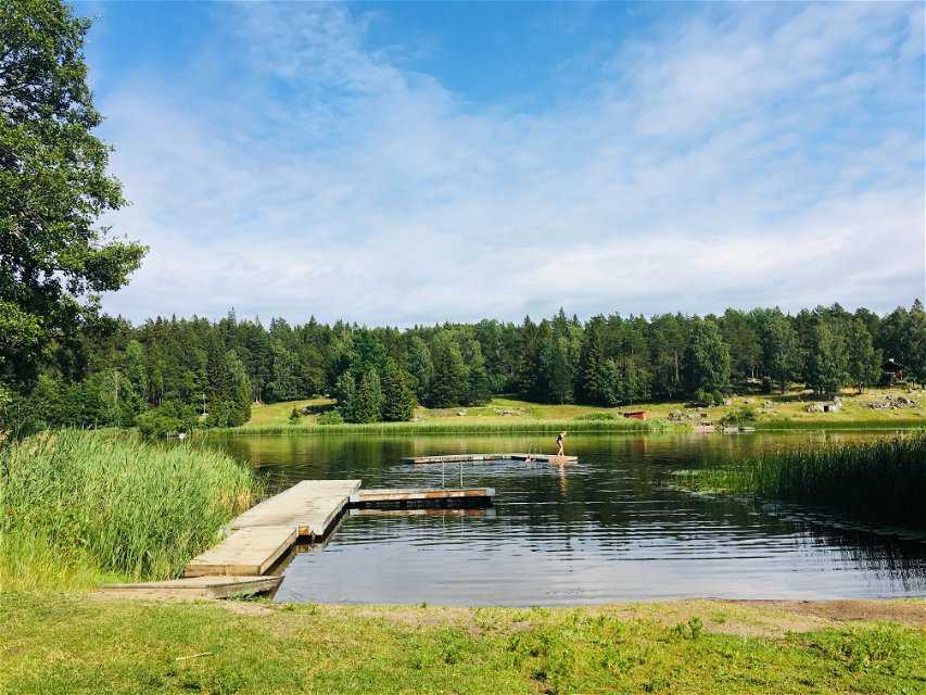
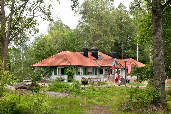
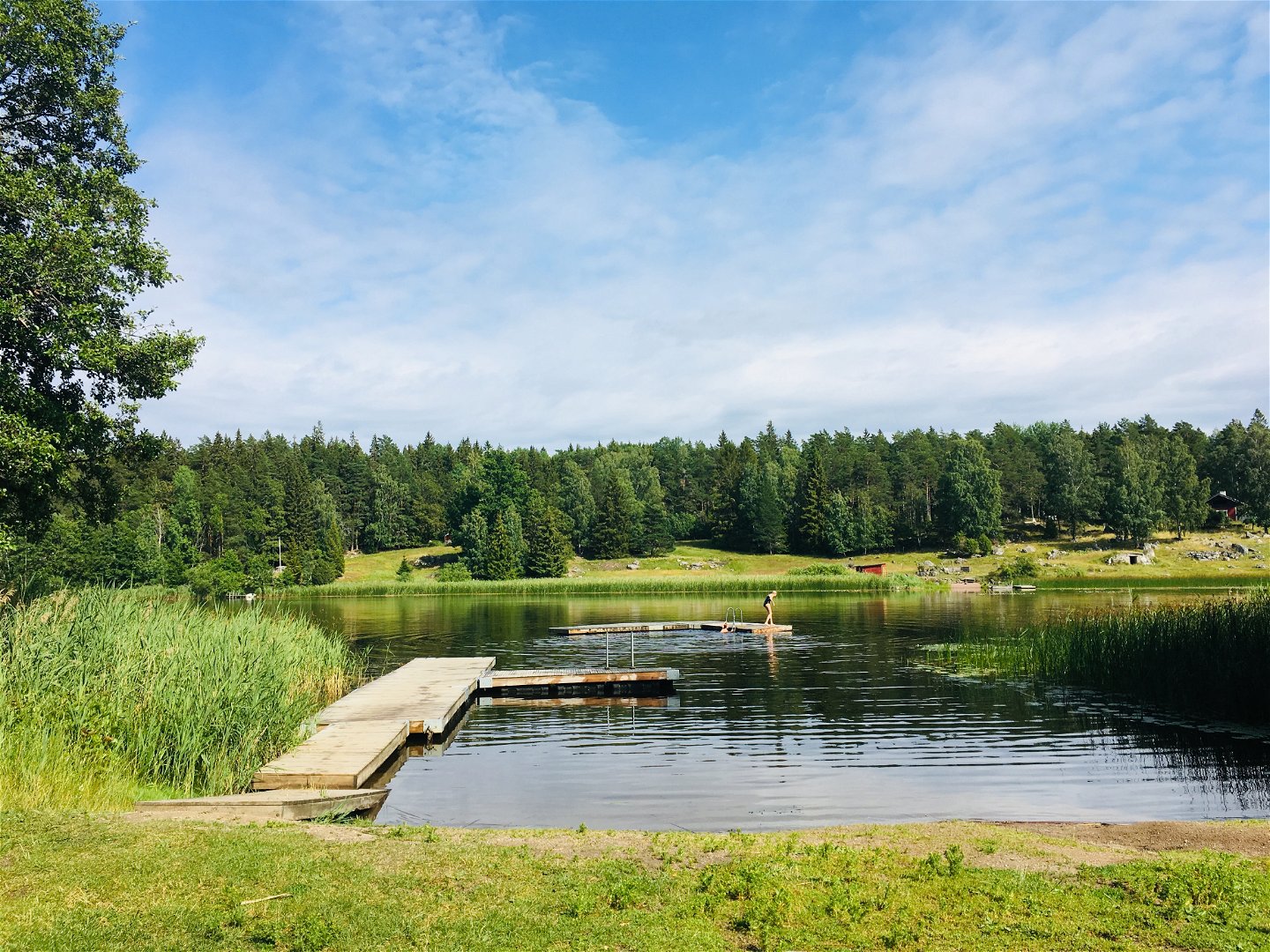
Not far from Fjällnora, along the eastern shore of Lake Ramsen, is a windshelter with a view of the lake. In Fjällnora, there is a swimming spot, a restaurant, a campsite, toilets, and cottages for rent.
Difficulty level: Easy/hard, 7 kilometres on country roads, the remainder on paths over sometimes rugged and rocky terrain.
Toimintaa ja tilat
-
Vaellusreitit
Pinta
Easy/hard, 7 kilometres on country roads, the remainder on paths over sometimes rugged and rocky terrain.
Pysäköinti
Parkering finns vid Nyby och vid Fjällnora.
Viestintä
Nearest bus stop at the start: Moralund (2,5 kilometers after Nyby if you follow the Uppland trail)
No bus stop at the end.
Reittiohjeet
Start at Nyby, Lunsen Nyby 5, Uppsala.
End at Fjällnora, Uppsala
Ota yhteyttä
Sähköpostiosoite
Upplandsstiftelsen
Organisaation logotyyppi

Huomaa, että osa näistä teksteistä on käännetty automaattisesti.
Kysymykset & vastaukset (Q&A)
Esitä kysymys muille Naturkartan-käyttäjille.

