-

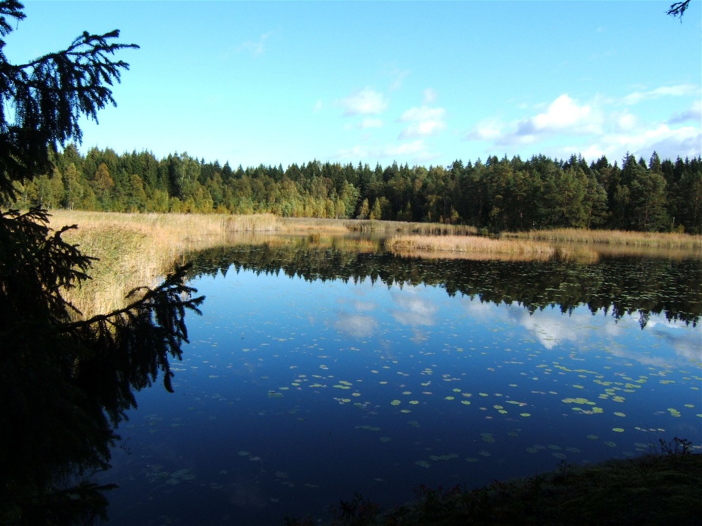
Stor-Tickuln -
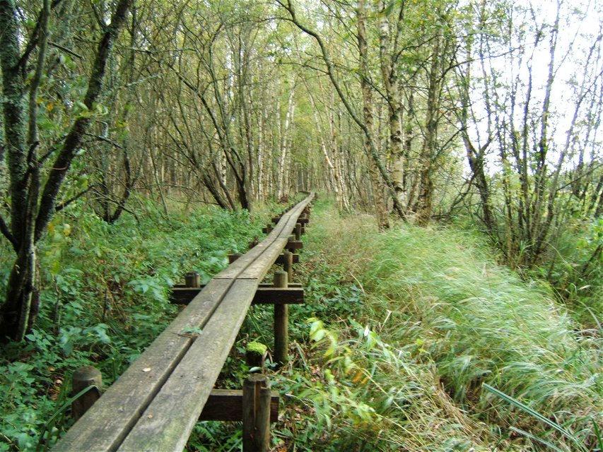
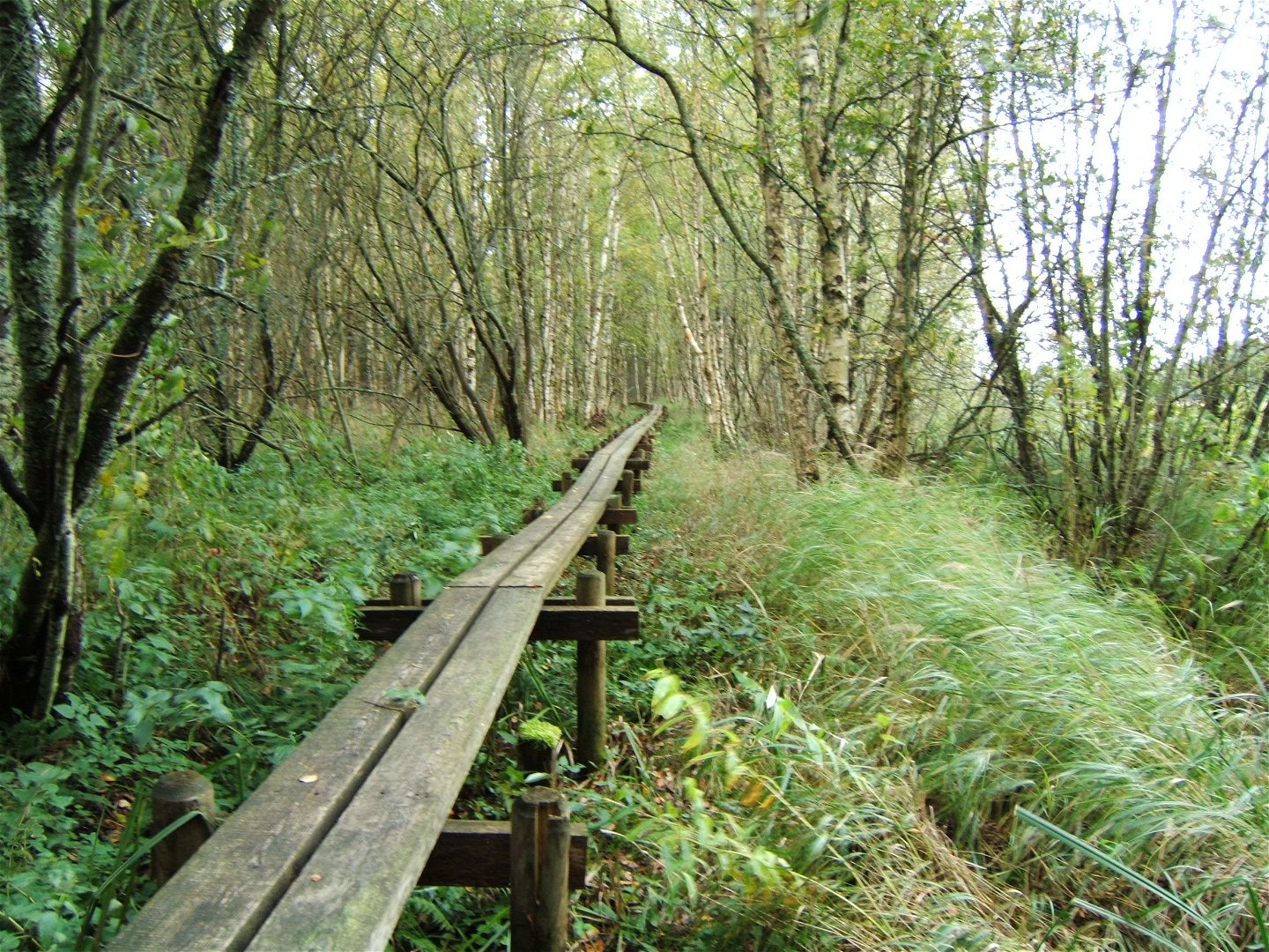
Spång vid Hosjön -


Upplandsleden, etapp 7, Knutby–Bennebol
Vaellusreitit
- Kunta: Uppsala län
- 6813.06 km päässä sinusta
Polun yksityiskohdat
- Pituus 13.5 km
Toiminnot
Kuvaus
Section 7 starts at the district doctor’s clinic on the southern outskirts of Knutby, and ends just before Bennebol’s mill. The varied section passes beautiful lakes and the idyllic mill towns of Vällnora and Bennebol, where many old buildings are preserved. After around 2 kilometers through the town of Knutby, the trail turns onto a gravel road. You’ll continue across open fields to bird paradise Lake Hosjön. There is a rest spot with a wind shelter. There is a swimming spot 150 meters ahead. You’ll then reach magical pond Stor-Tickuln via forest paths and a long boardwalk. The rest spot at the top of the mountain provides a view of the water lily-covered water. Then, the trail follows forest paths and a tractor/gravel road to Vällnora and on to Bennebol. The Uppland Trail Walk 7:1 through the nature reserve of Hästhagen-Kilholmen starts between Vällnora and Bennebol.
Difficulty level: Medium, forest paths and small roads.
Toimintaa ja tilat
-
Vaellusreitit
Pinta
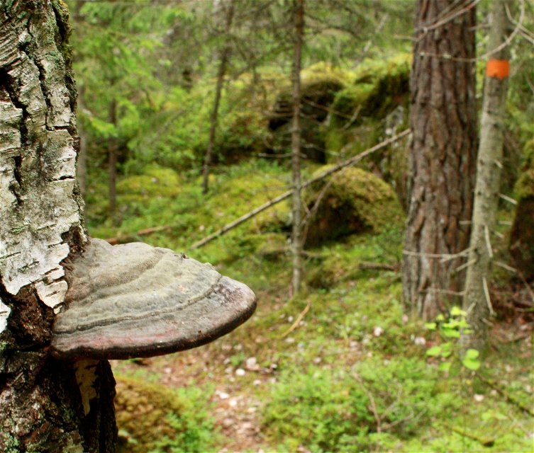
Mostly forest paths.
Pysäköinti
Parking is available where the stage starts in Knutby, at the district doctor's office. At the end there is a smaller parking lot at Hästhagen-Kilholmens nature reserve.
Viestintä
The Knutby vårdcentral bus stop is right at the start. No more bus connection along the stage.
Reittiohjeet
Knutby is located along road 282, four miles east of Uppsala. Take road 282, from Uppsala in the direction of Almunge. The parking lot is on the left as you enter Knutby.
Ota yhteyttä
Sähköpostiosoite
Upplandsstiftelsen
Organisaation logotyyppi
![]()
Huomaa, että osa näistä teksteistä on käännetty automaattisesti.
Kysymykset & vastaukset (Q&A)
Esitä kysymys muille Naturkartan-käyttäjille.
