


Sotar Blixtleden
Vaellusreitit
- Kunta: Värmlands län
- 6551.4 km päässä sinusta
Polun yksityiskohdat
- Pituus 11.0 km
- Vaikeuksia Punainen - vaativa
Toiminnot
Kuvaus
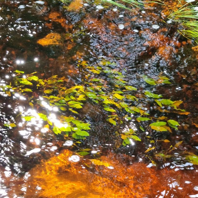
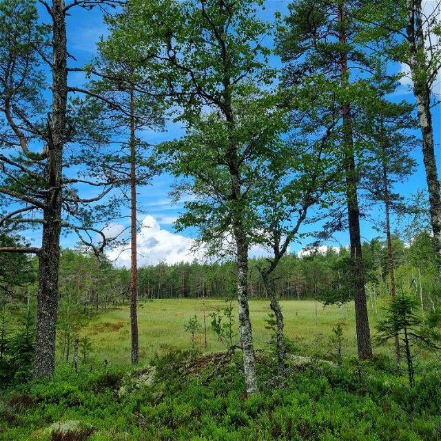
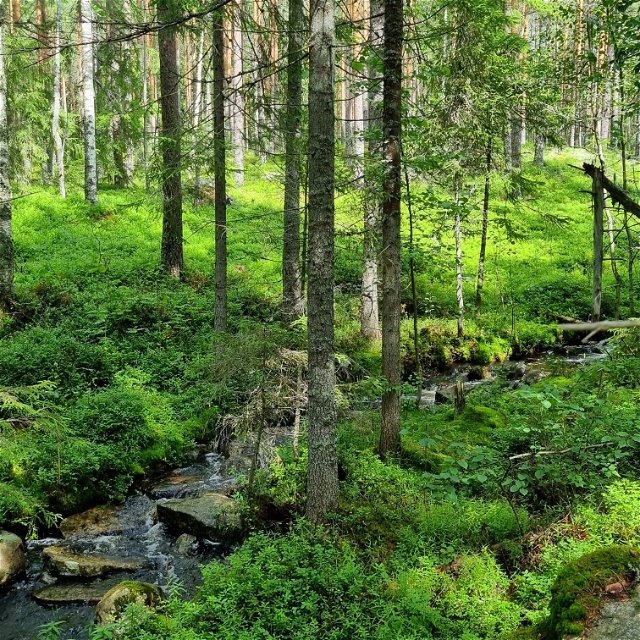
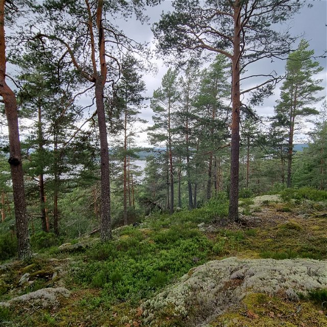
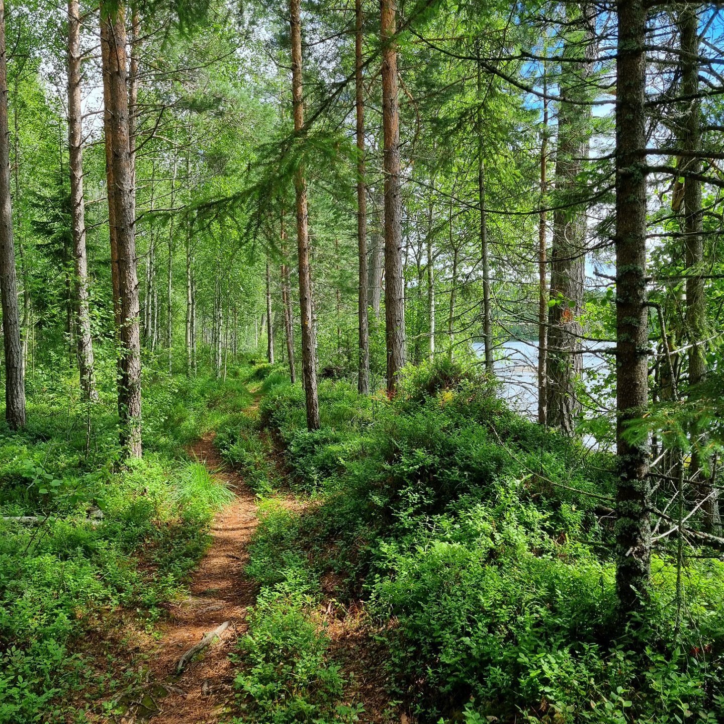
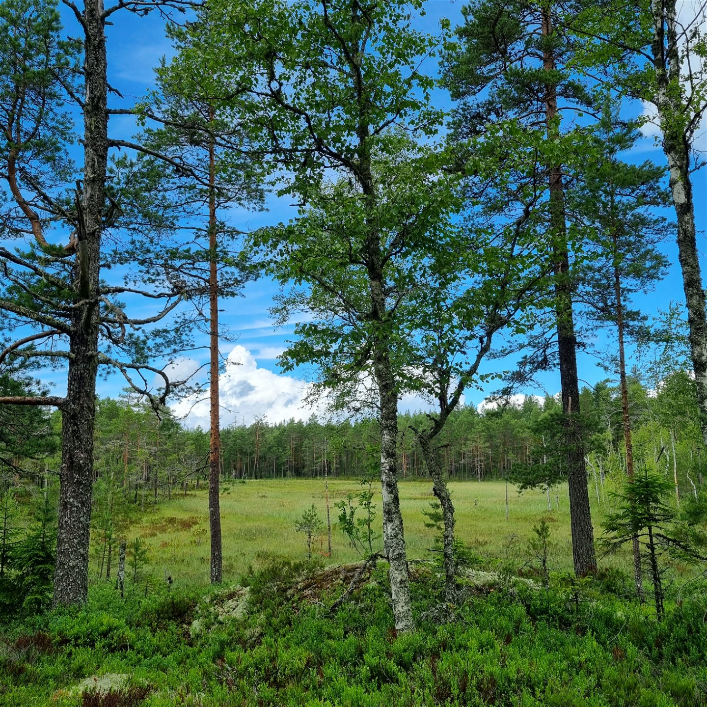
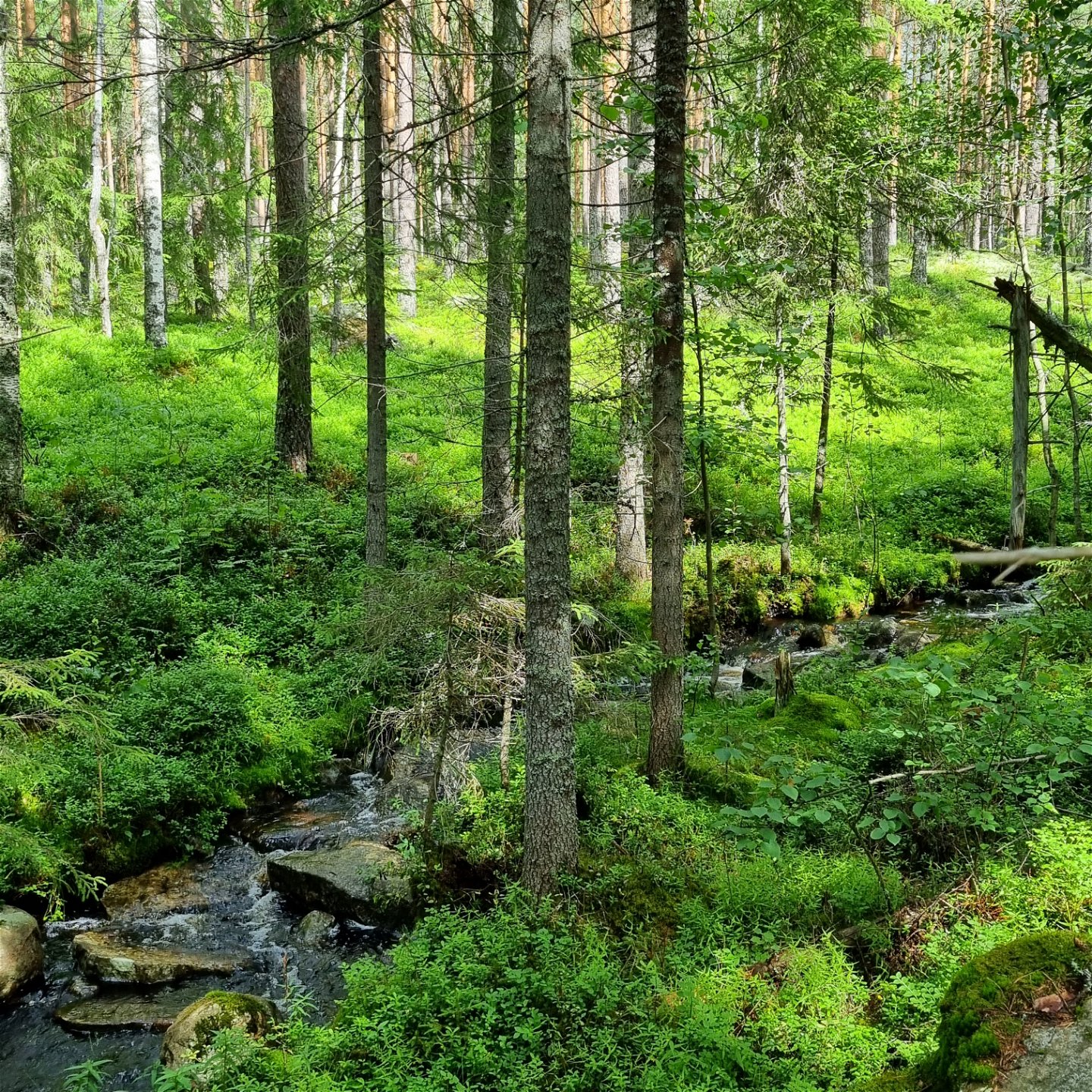
A circular hiking trail of 11 km starting at Jössestugan, Rackstad. A varied, scenic trail through mixed coniferous forests, stretches of old pines, over hilltops and along streams, a mire and a lake where white water lilies bloom in June-July.
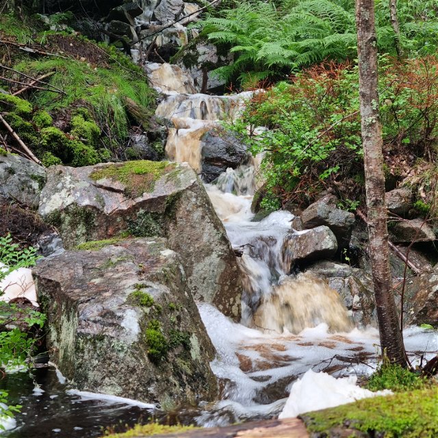
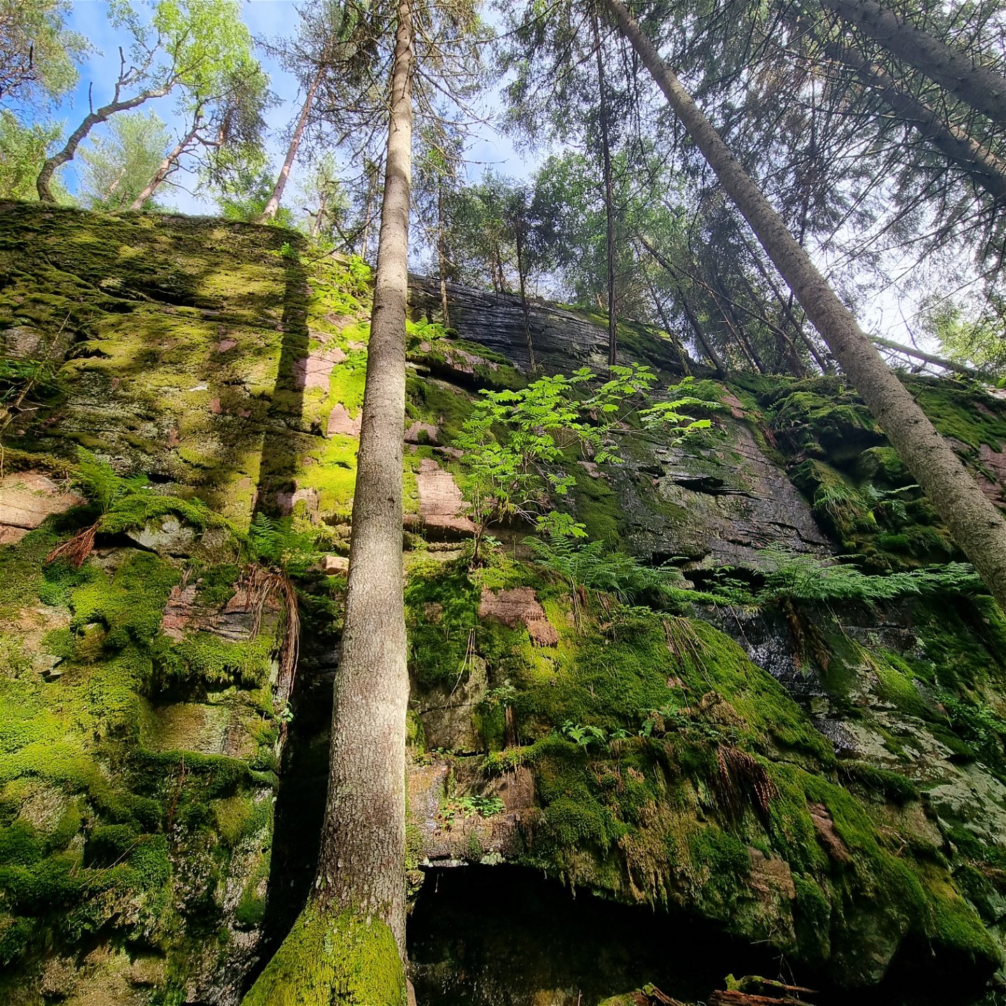
The climb across Gallberget and Göpugnen/Gôpommen is steep, as well as the north passage down to Jössestugan. The ground varies from needle covered paths, duck boards, to roots and rocks. A short passage west of Lake Agvattnet is somewhat wet.
The path is well visible and marked with orange on trees or posts.
You will find elevation profiles at the end of this document. A map is available for download under Documents.
There is normally mobile coverage throughout the trail.
Toimintaa ja tilat
-
Vaellusreitit
-
 Rundslinga
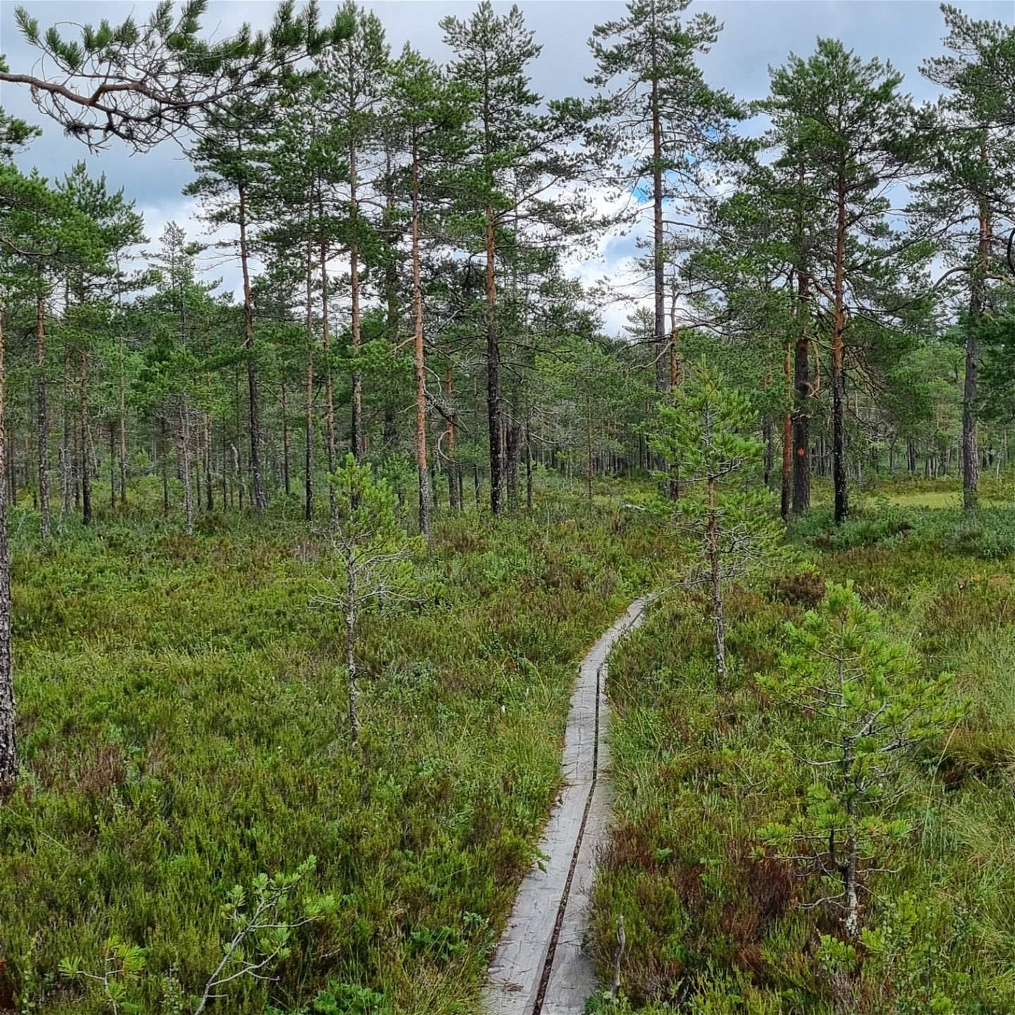
Pinta
Varying surfaces with a lot of roots and stones, footbridges, coniferous paths and short sections of gravel road. Some wet areas west of Agvattnet where there are footbridges, but completion is also needed. It is possible to walk around the wet parts, but boots are recommended.
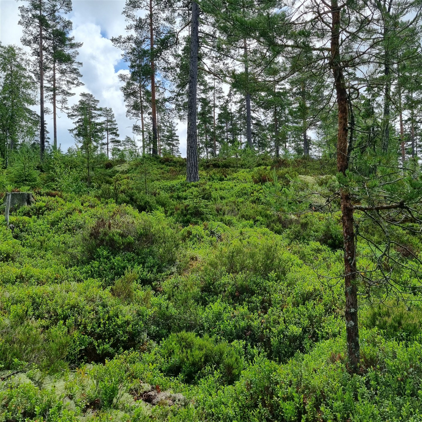
Hills
There are some steep climbs/descents around Gallberget and Göpommen, and at the rock wall just north of Jössestugan, which has given the trail the difficulty level "red/demanding". In between, however, varying from easy to moderate hiking.
Pysäköinti
Spacious parking area.
Viestintä
Suggested starting point Jössestugan, latitud 59.692706, longitud 12.679481 There is a spacious parking space. The bus connection 111 Arvika-Perserud passes the stop ”Myren/Rackstadskogens naturreservat” after approximately 8 km from Arvika. For time tables, visit Värmlandstrafik (varmlandstrafik.se).
Reittiohjeet
Suggested starting point Jössestugan, latitud 59.692706, longitud 12.679481 There is a spacious parking space. The bus connection 111 Arvika-Perserud passes the stop ”Myren/Rackstadskogens naturreservat” after approximately 8 km from Arvika. For time tables, visit Värmlandstrafik (varmlandstrafik.se).
Asetukset
Some areas of the trails coincide with the Rackstad Nature Reserve, which means that it is prohibited to:
- harm living or dead trees and bushes,
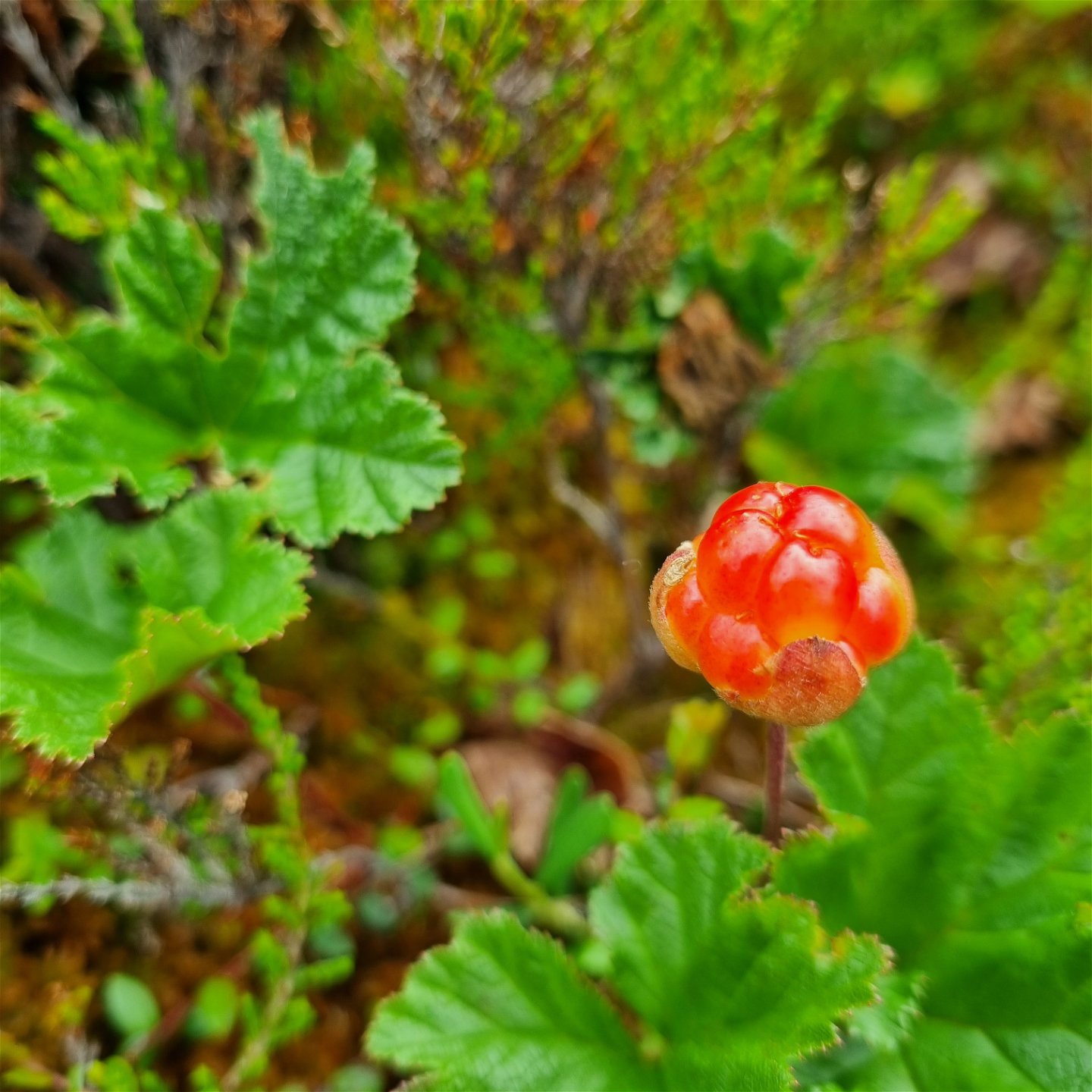
- pick or dig up plants, including moss, lichen, or mushrooms,
- interfere with animal wild life by going too close to their resting place or making fires,
- bring dogs unleashed,
- drive motor vehicles,
-
put up tents
For more information visit: www.lansstyrelsen.se/varmland/besoksmal/naturreservat/rackstadskogen.
Ota yhteyttä
Osoite
Besöksadress:
Visit Arvika
Arvika Turistbyrå, Storgatan 22
671 31 Arvika
www.visitarvika.se
Sähköpostiosoite
Visit Arvika
Huomaa, että osa näistä teksteistä on käännetty automaattisesti.
Kysymykset & vastaukset (Q&A)
Esitä kysymys muille Naturkartan-käyttäjille.
